My break in the summer meadows puts me in a difficult situation. The route from the Rhone to the Aosta Valley, as is well known, leads through the Savoy Alps. Last year’s GR5 hike taught me that the French refuges (mountain huts) already close in mid-September. Until I had secured the accommodation, it was a tough (and expensive) challenge. Otherwise, it can be said in advance that this section is extremely beautiful.
Day 18: Finally heading east, but through the jungle
I actually wanted to travel entirely by public transport. But between Geneva and Farges, the earliest connection I can find for this Thursday is one that would allow me to start hiking around 1:30 PM. So I’m ordering a taxi again.
When I ask the driver about public transport alternatives, he tells me that today is a public holiday in France. Okay, so the 50 euros are the unavoidable gateway to the hiking world.
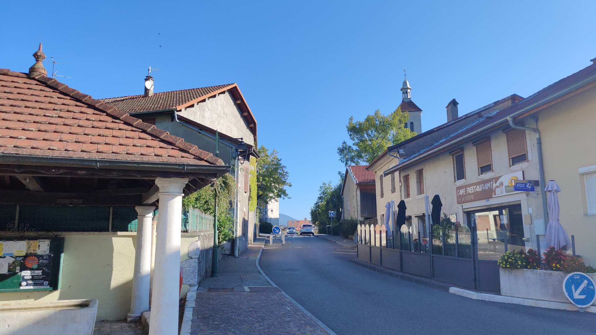
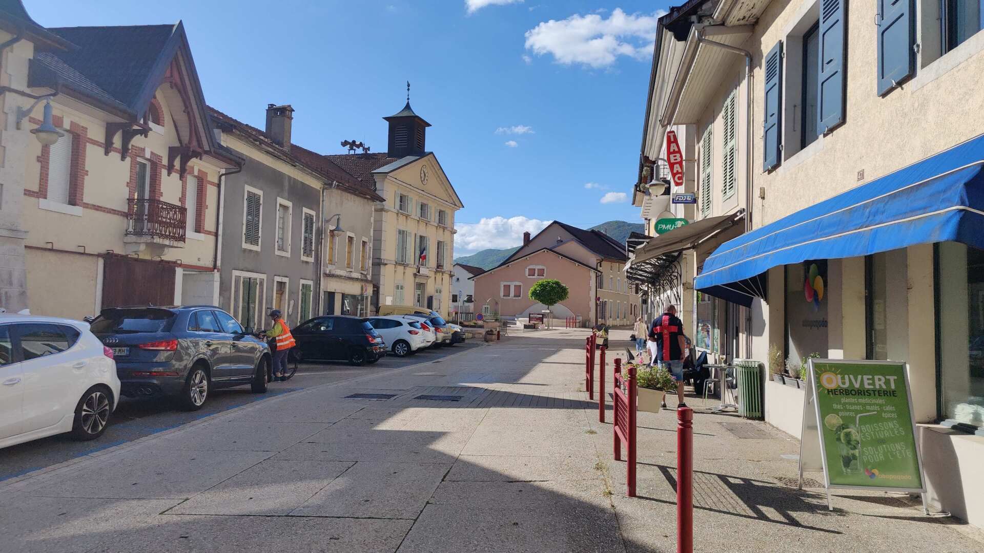
In Farges, I’m glad to see that at least the restaurant is open today. We’re driving along a country road towards Collonges. The little town has a lot of charm, and the shops are open despite it being a holiday.
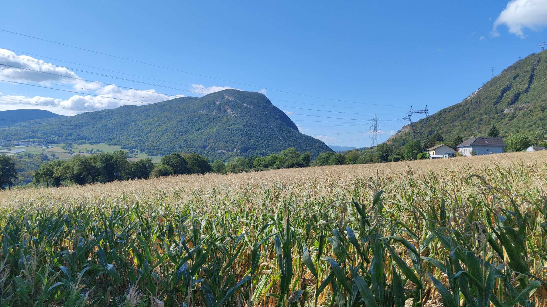
Feeling refreshed, I run towards the Rhone. The path leads through wide fields down to the Pont Carnot. This is the only bridge for miles around.
At some point, the first glimpse of the river appears, later followed by the main road with heavy traffic. Before the bridge, there’s space on the left side of the road, but there’s no sidewalk on the bridge itself. The plan is to wait for a ‘window of time’ without trucks, and then quickly cross to the other side. The plan succeeds.
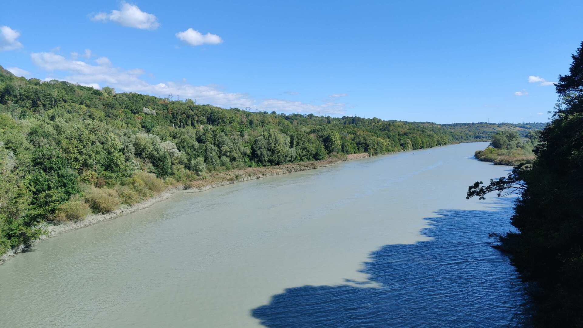
So, I’ve actually made it, I’ve crossed the Rhone. From now on, I’ll be heading east for about 600 kilometers. That feeling of accomplishment soon fades. The steps eastward aren’t any shorter than the steps westward.
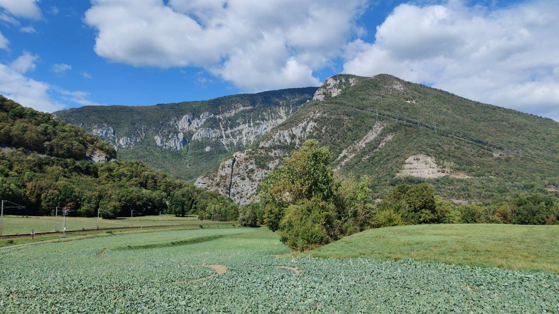
One last look back at the Jura. My journey takes me through small villages. We are in the countryside. I should add that it took me hours to find accommodation. In the end, I found a guesthouse, but it meant a detour of a few kilometers.
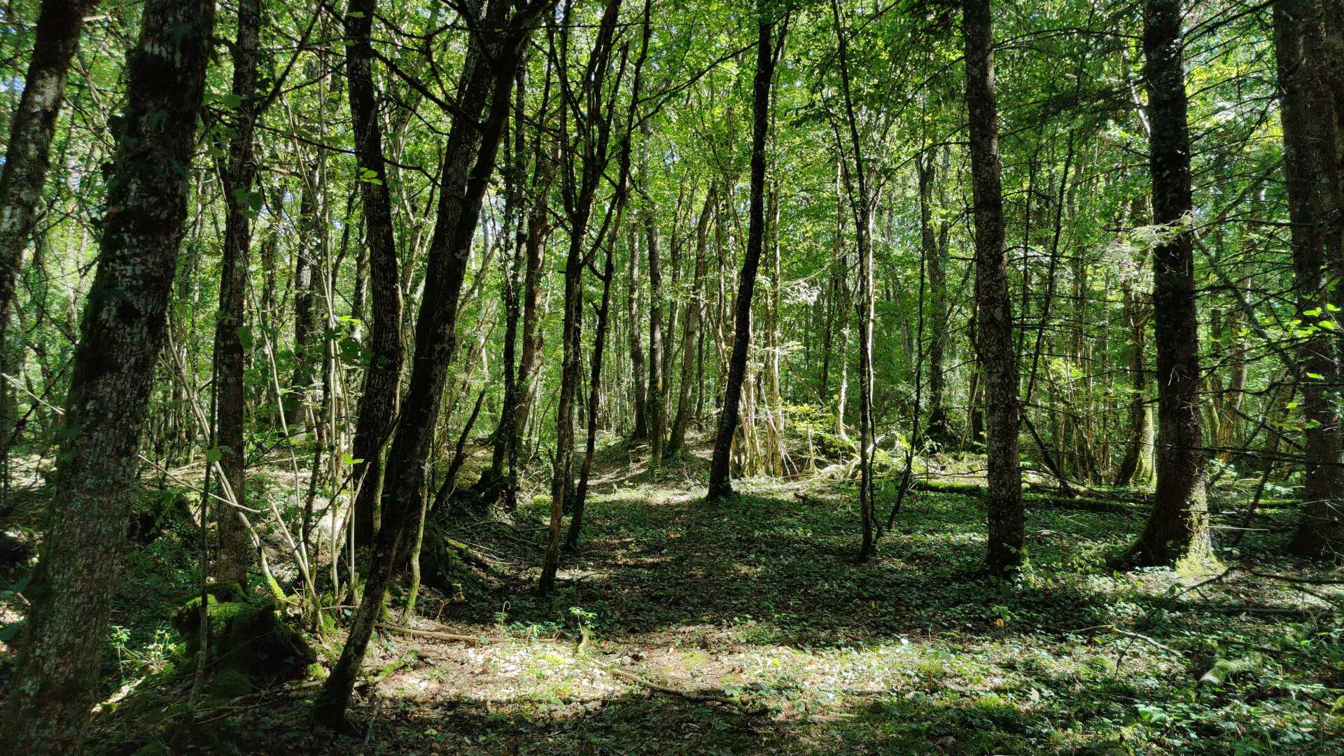
On the long loop towards the accommodation, I enter a section of forest that proves to be more challenging. At one point, I can no longer see a path. Thanks to the navigation system, I find a clearing and end up on a large, luxurious estate.
Luckily, no one was around, and I didn’t have to worry about any aggressive dogs. However, I had to climb over the fence to get back onto the road.
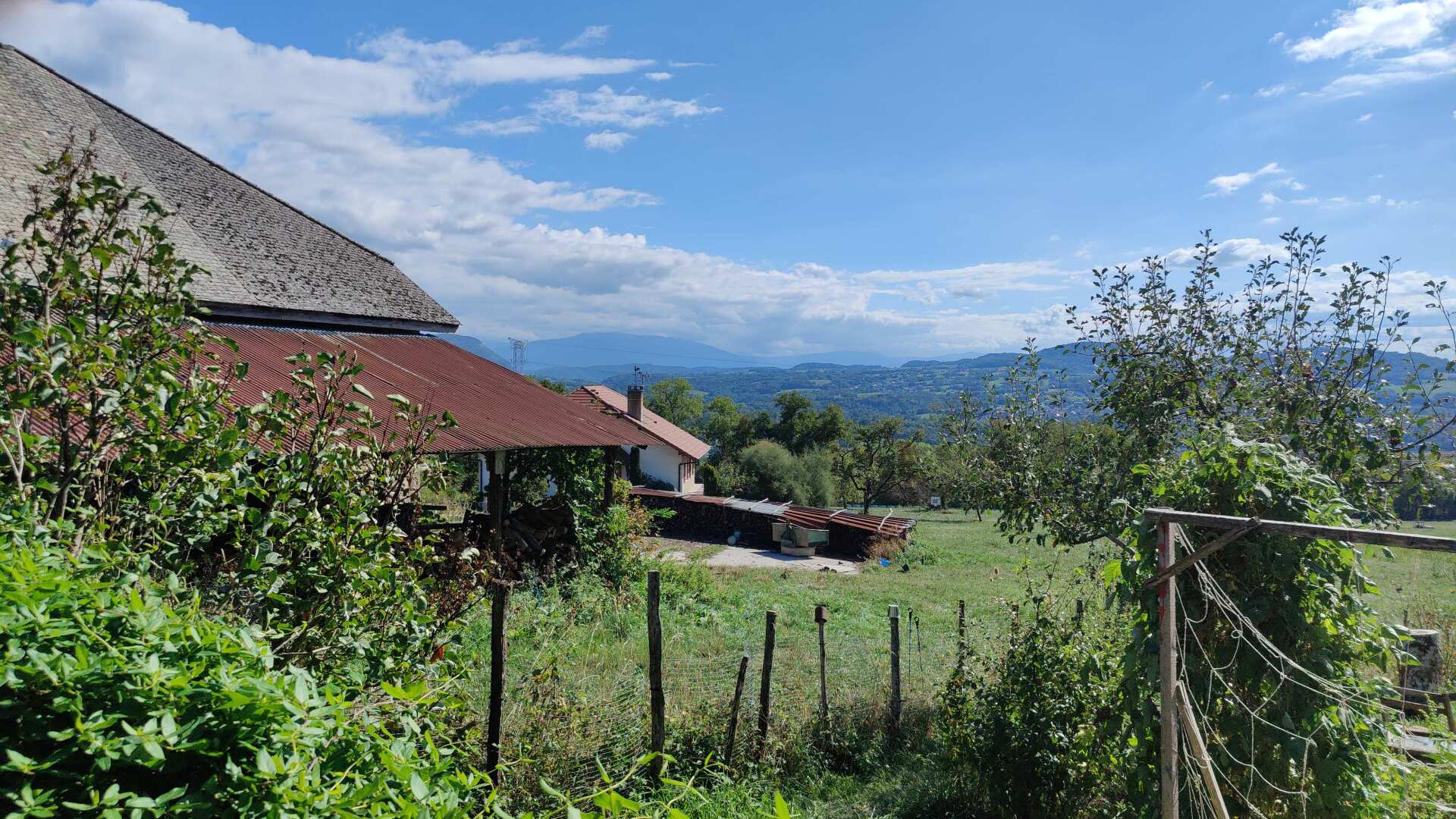
Gradually, the first foothills of the Alps come into view. Minzier, Savigny, and Marlioz are the names of the small villages.
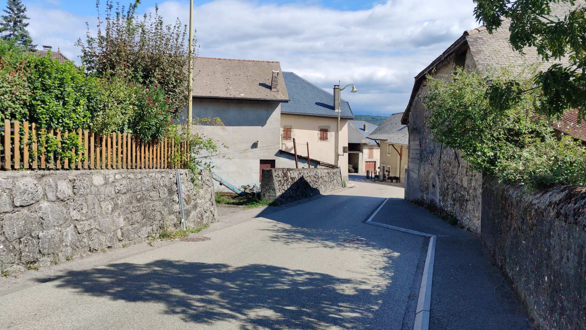
Before arriving at my overnight accommodation in a small village near Choisy, I stop at a restaurant. At first, the woman isn’t quite sure how to prepare two sandwiches without meat. But then, in addition to cheese and vegetables (crudités), she also suggests tomatoes and egg. For seven euros each, I get a very generous and delicious meal, and I didn’t have to go to bed hungry.
Day 19: Thirsty and without food
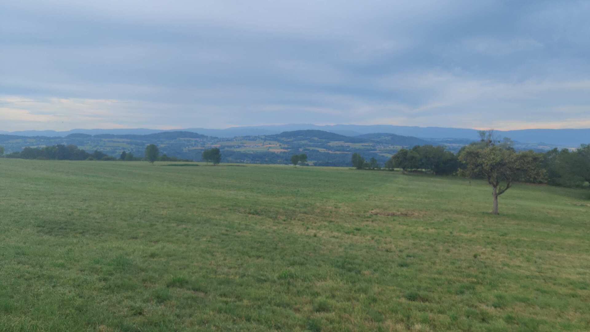
The next morning, I set off early. Soon I found myself in the hills. This was followed by a long climb up to almost 900 meters.
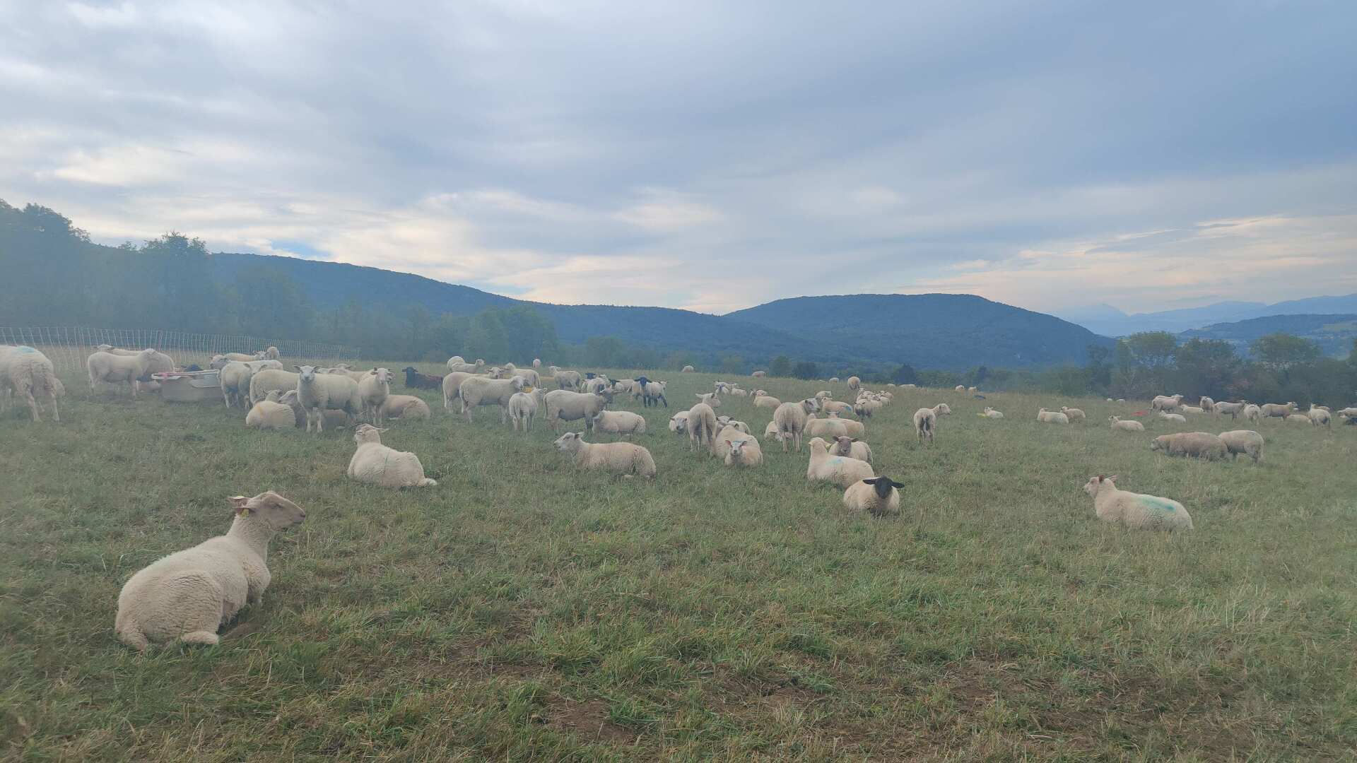
The pre-alpine character of the landscape is emphasized by a large flock of sheep, peacefully grazing on a sparse meadow.
Unfortunately, I can’t find any open shops in Choisy either, so I’ll have to go hungry over the hill.
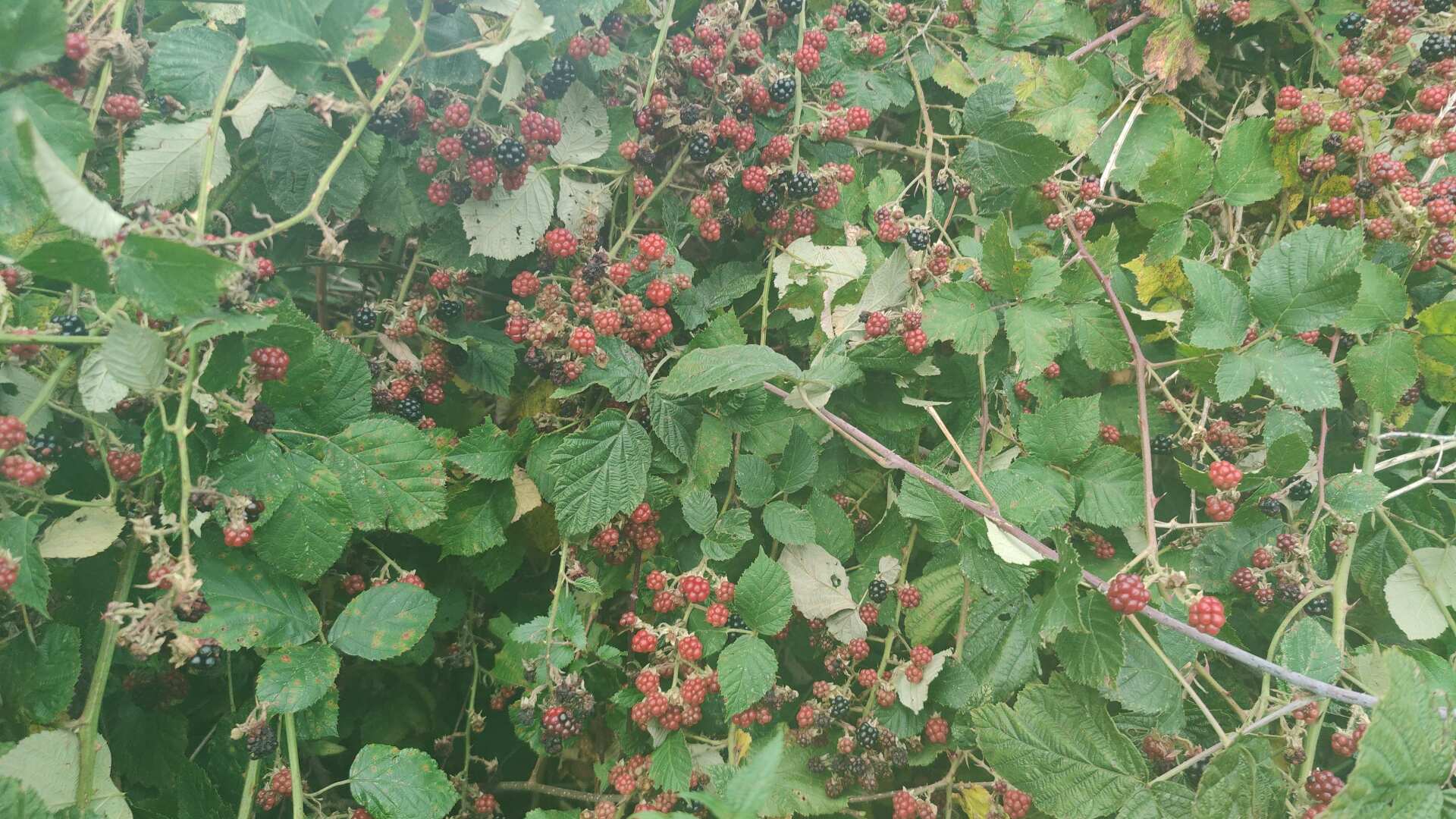
Eventually, I come across some bushes with blackberries. It will be my entire breakfast. In return, I get a magnificent view down to Lac d’Annecy, although only briefly. Otherwise, it is cloudy and overcast.
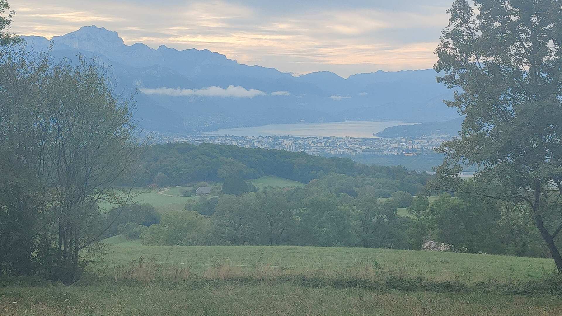
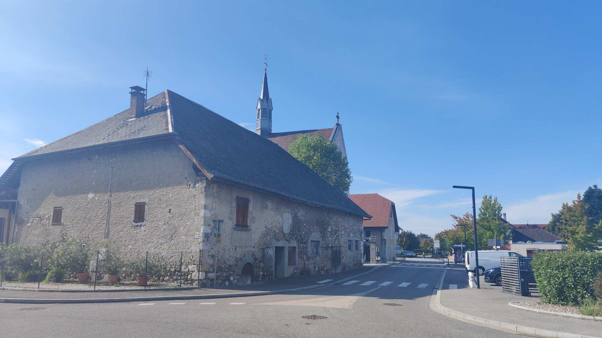
Further down the valley, I come across the small village of Metz-Tessy. I do find a sushi restaurant, but again, no store.
Next, I walk across the highway. The vehicles whiz past me at high speed. The next few kilometers are equally uninviting.
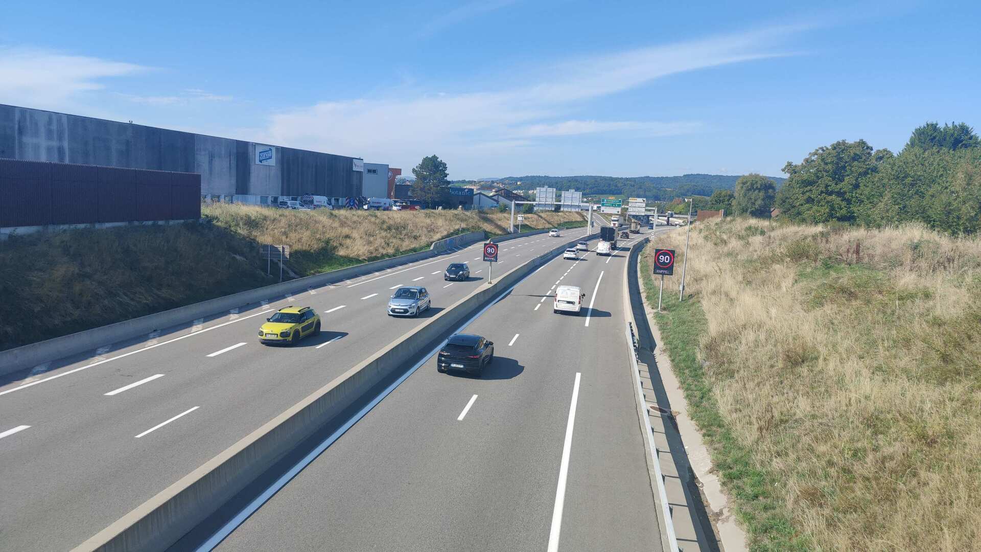
Industry on both sides of the road. Everything can be bought, except for food. I’m still feeling optimistic. According to the map, I’ll be hiking through villages for the next 10 kilometers; what could possibly go wrong?
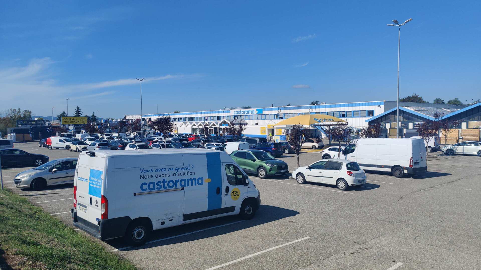
To put it briefly, pretty much everything. I see a small cafe that’s open, and further down the street, I see a bakery. When I get there, I see that it’s closed. I don’t want to walk back to the cafe, which I’ll later regret.
Then I walk along a main road for quite some time. Buses pass me almost every minute. But I can’t find a store anywhere, it’s a complete dead end.
Then I see ‘farm shop’ on my map. When I arrive, the farmer tells me that the shop hasn’t existed for quite some time. Strike two!
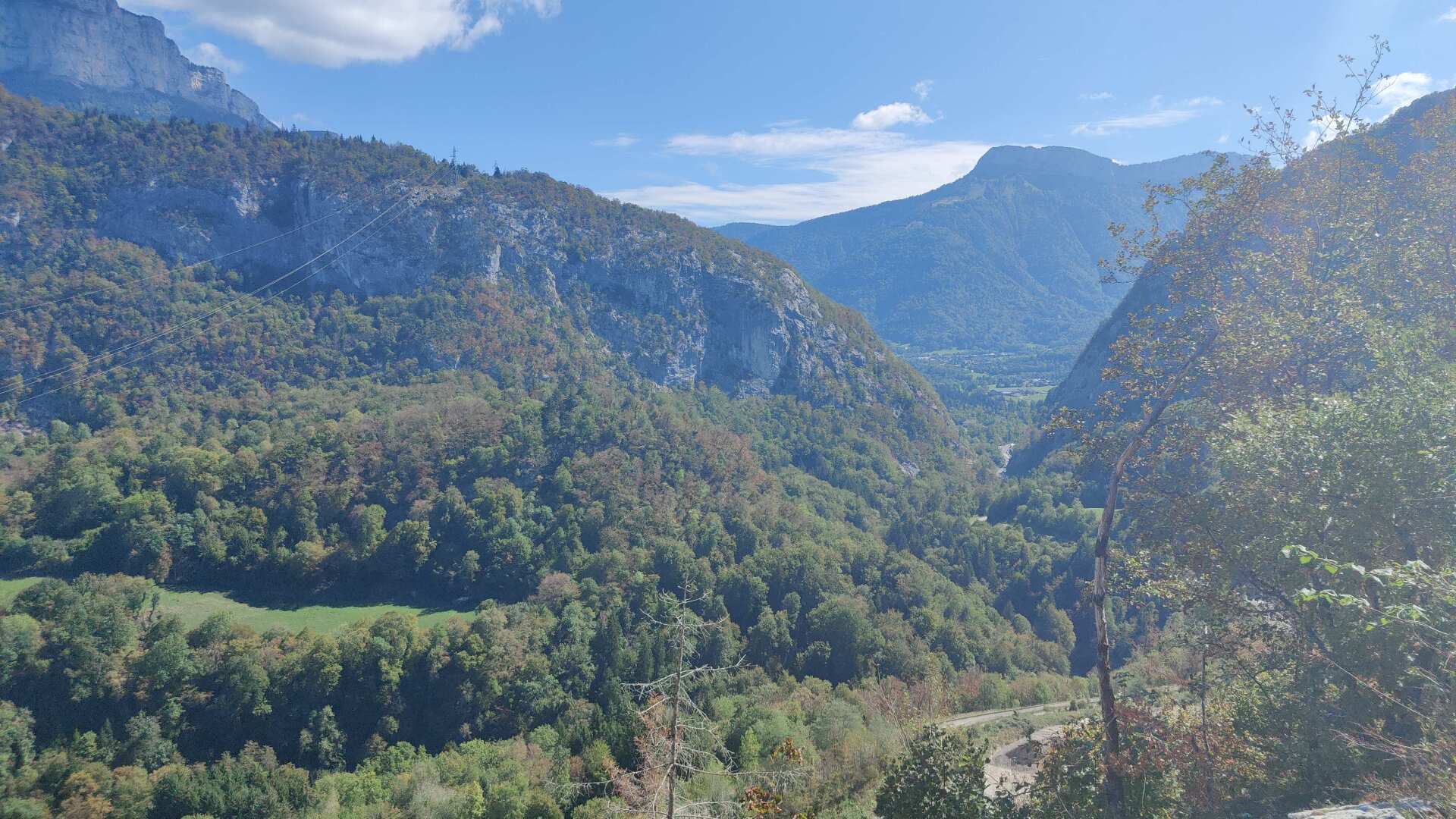
After another hour of hiking through the wilderness, I ask a construction worker on the roadside for water. He tells me that there’s a restaurant near the church in the nearby town of Provenant. When I get there, I find a restaurant and a cafe, but both are closed. Strike three!
Once again, I had to ask at a house for water and finally got the water I needed. As for lunch, it consisted of one and a half apples that I picked up from the ground. Half of that is due to the fact that the second apple was rotten.
After 32 kilometers, I arrive at the accommodation. The host is very friendly and brings me some fruit. Later, I have a delicious meal. The next morning, he makes a comment that I must have been very hungry last night.
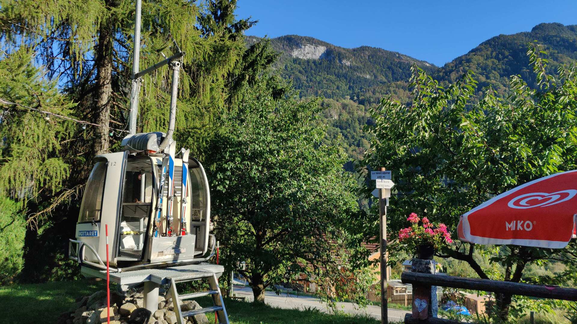
Day 20: A long journey becomes even longer
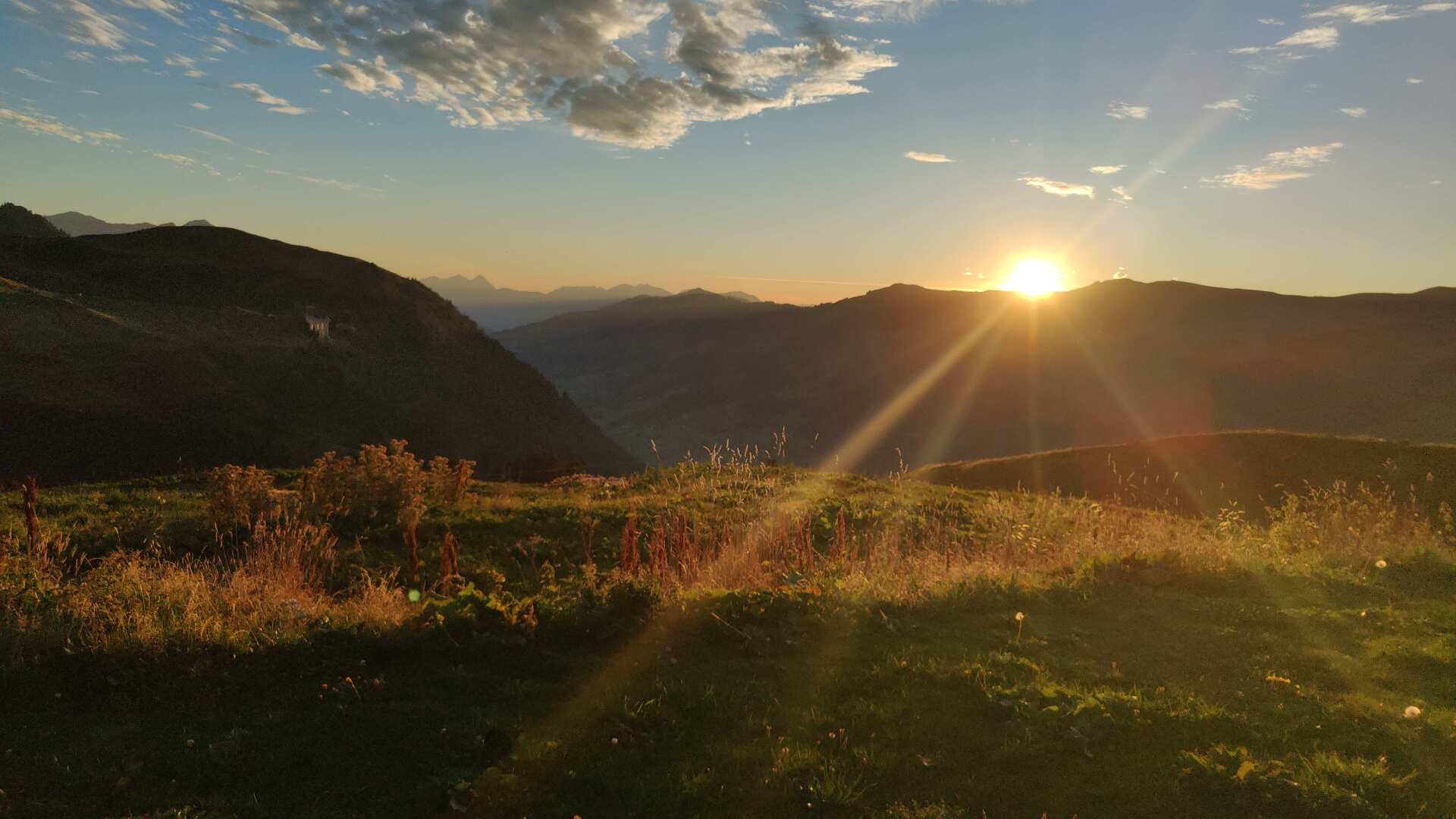
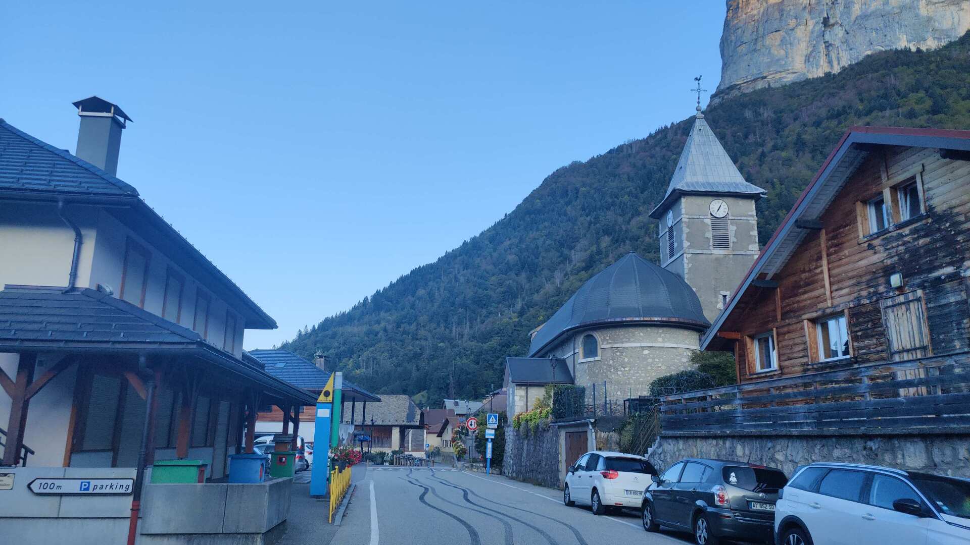
Early in the morning, I leave the small village of La Balme-de-Thuy. It is still cool this morning, and the shadows stretch deep into the valley. Well, I have now finally arrived in the mountains.
By the roadside, I see a grotto. Later, I read about the Grotto of Notre-Dame de Lourdes. It is a pilgrimage site modeled after the original grotto in Lourdes. Early in the morning, I am alone. The large parking lot around the corner suggests that there will be more activity later in the day.
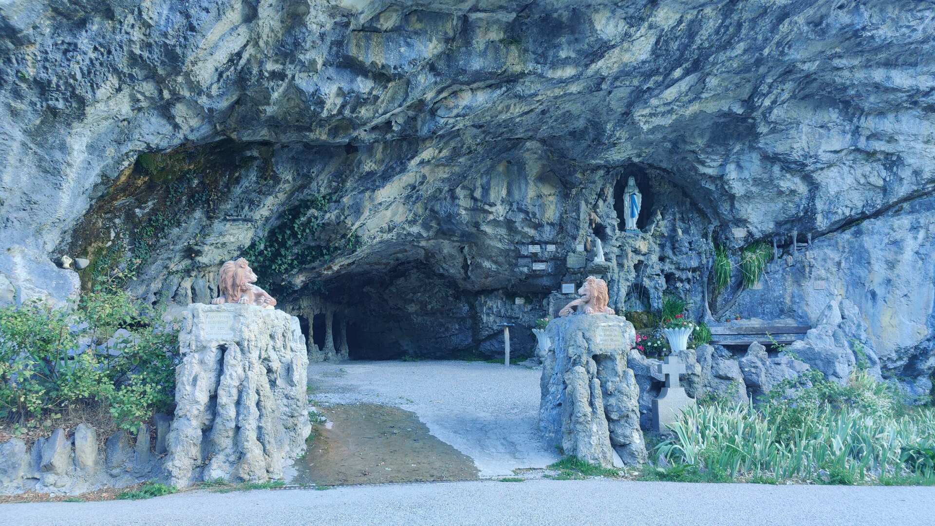
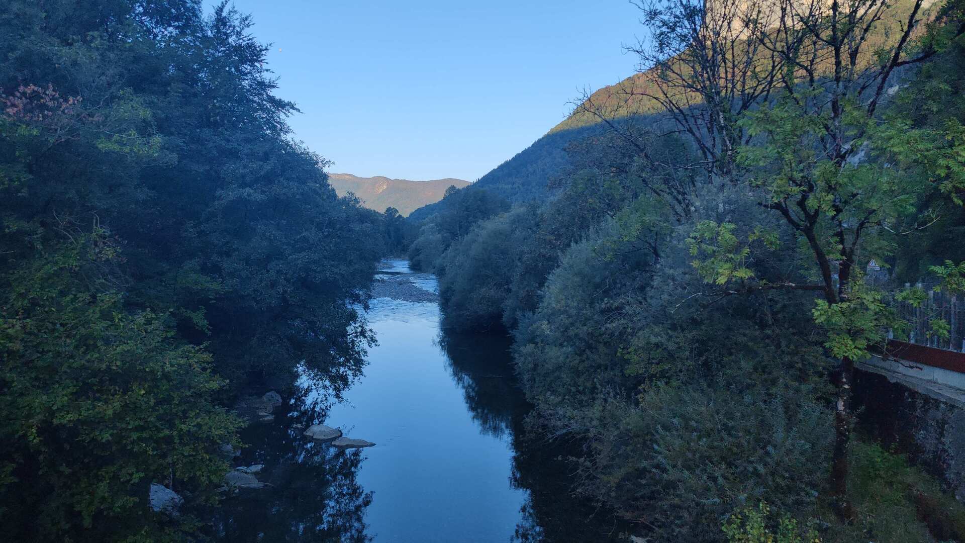
For me, the setting feels artificial. My first destination for the day is Thônes, and it’s a real place. The route follows the Fier River. It all sounds very religious. However, the path to Thônes leads through a substantial industrial area.
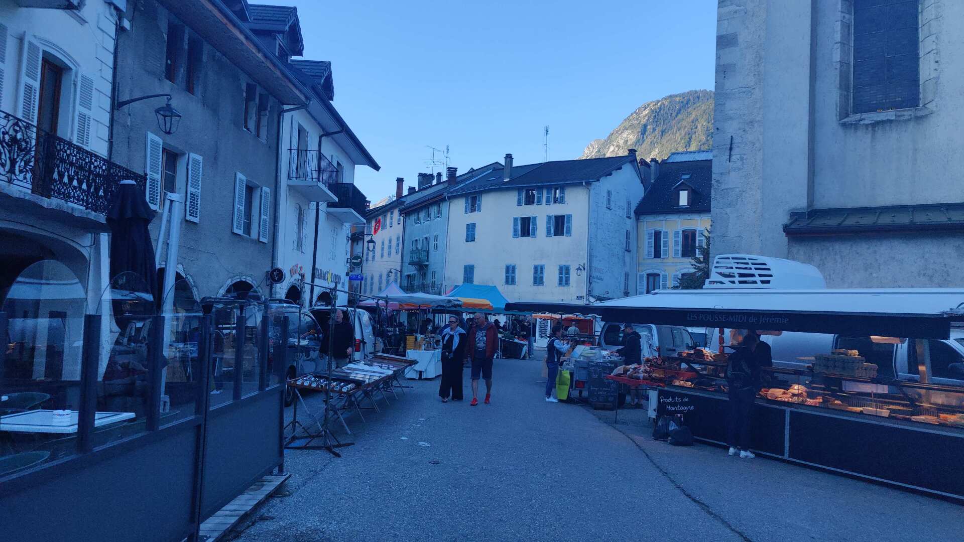
In the village itself, I come across a large market. This is practically a lifesaver. At the stalls, I can buy groceries and fruit, and the selection is abundant. The only question is how much I should buy, because I have a climb of over 1000 meters ahead of me. Four bananas and an olive bread should do, I don’t want to carry any more up the mountain.
At the beginning, the path is simply steep. Later, it becomes even steeper and the trail increasingly worse. At some point, I reach the point where I turn back. This means a detour of one or two kilometers, but in return, the grassy slope leading across a meadow can be traversed without any difficulties. At the top, the dogs of a farm are barking, so I quietly and in a wide arc make my escape.
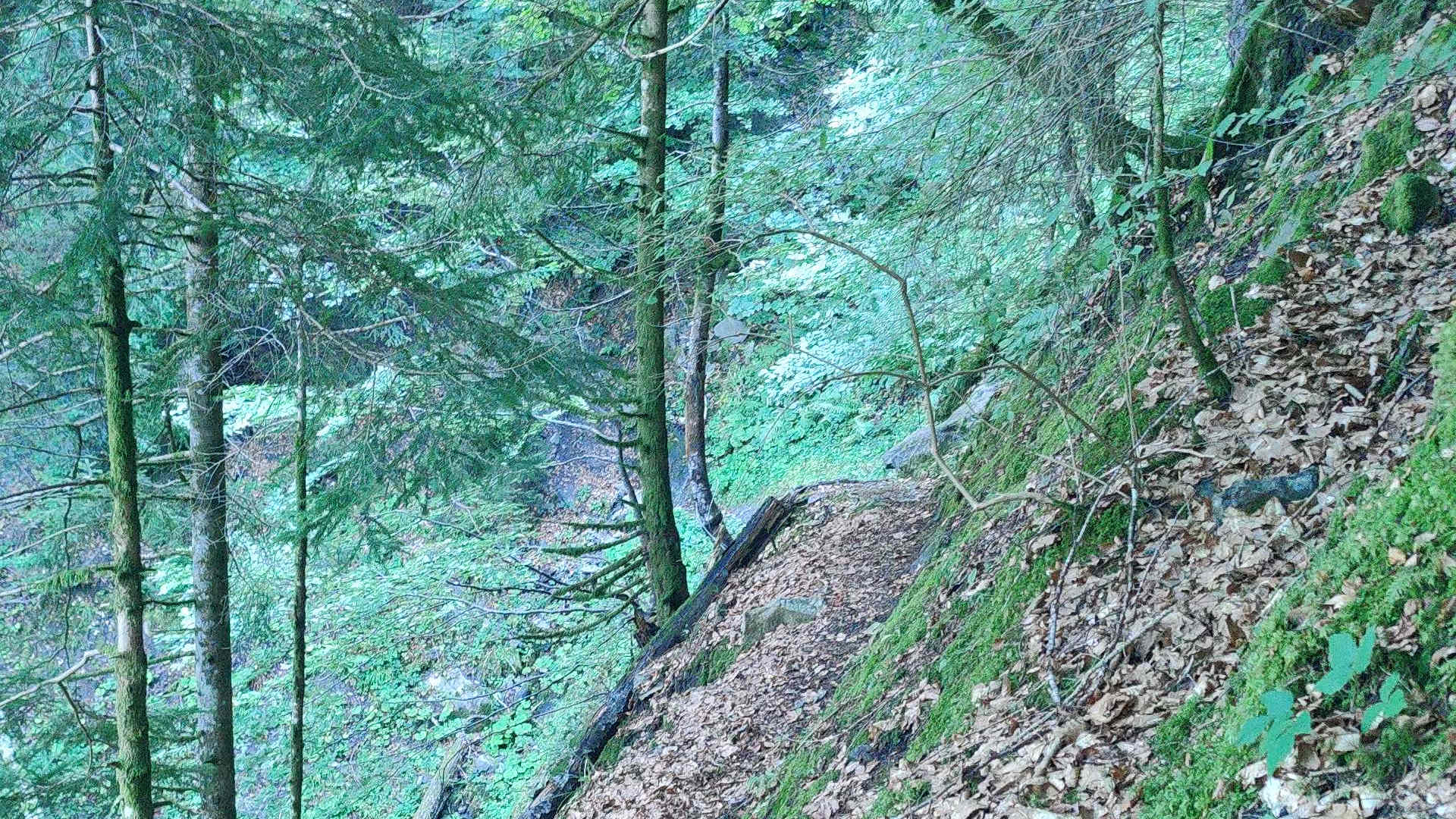
However, I miss the correct turn again and ‘enjoy’ another magnificent detour. Then, finally, it goes, well hidden, up a narrow but not difficult path.
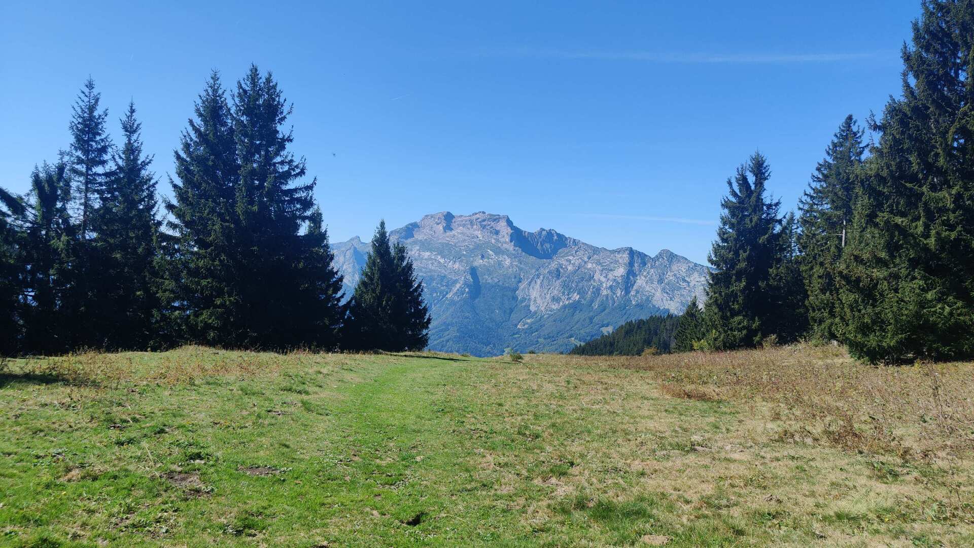
Once at the top, there are beautiful views of the Savoy Prealps. In the background, far in the distance, is probably Mont Blanc. The path leads along the slope to La Crox Fry. At almost 1500 meters, I enjoy a plate of pasta. Refreshed, I then follow a ski lift, going slightly downhill, and then uphill to the Col des Aravis.
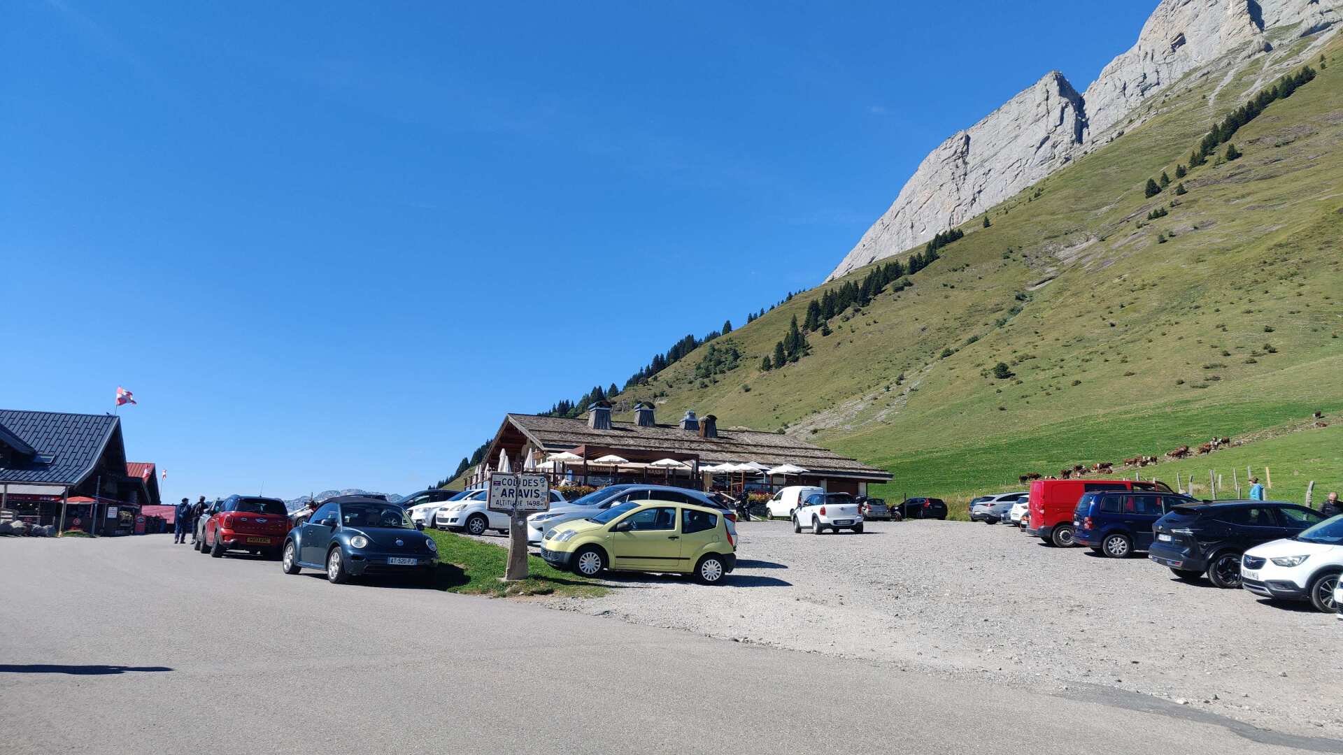
Up there, there’s plenty of touristy kitsch. I doubt that all these wooden souvenirs (which might just be imitations) actually come from the region. My interest lies more in the non-touristy pleasures. I’d like to buy an ice cream at the counter of a restaurant.
It takes a quarter of an hour for the machine to start. The service lady says ‘One minute’ repeatedly. A small cup of soft-serve ice cream costs 3 euros. Before that, she had to throw away four cups because no ice cream was coming out. And in the end, let’s just say, my cup contained barely any ice cream.
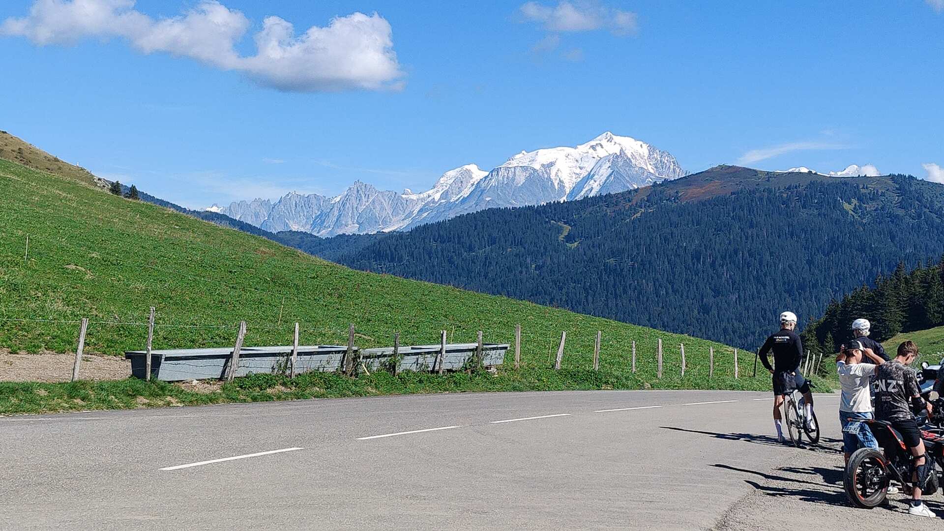
The view of Mont Blanc, on the other hand, is superb. The descent to Flumet follows, covering approximately 800 meters in altitude over 12 kilometers.
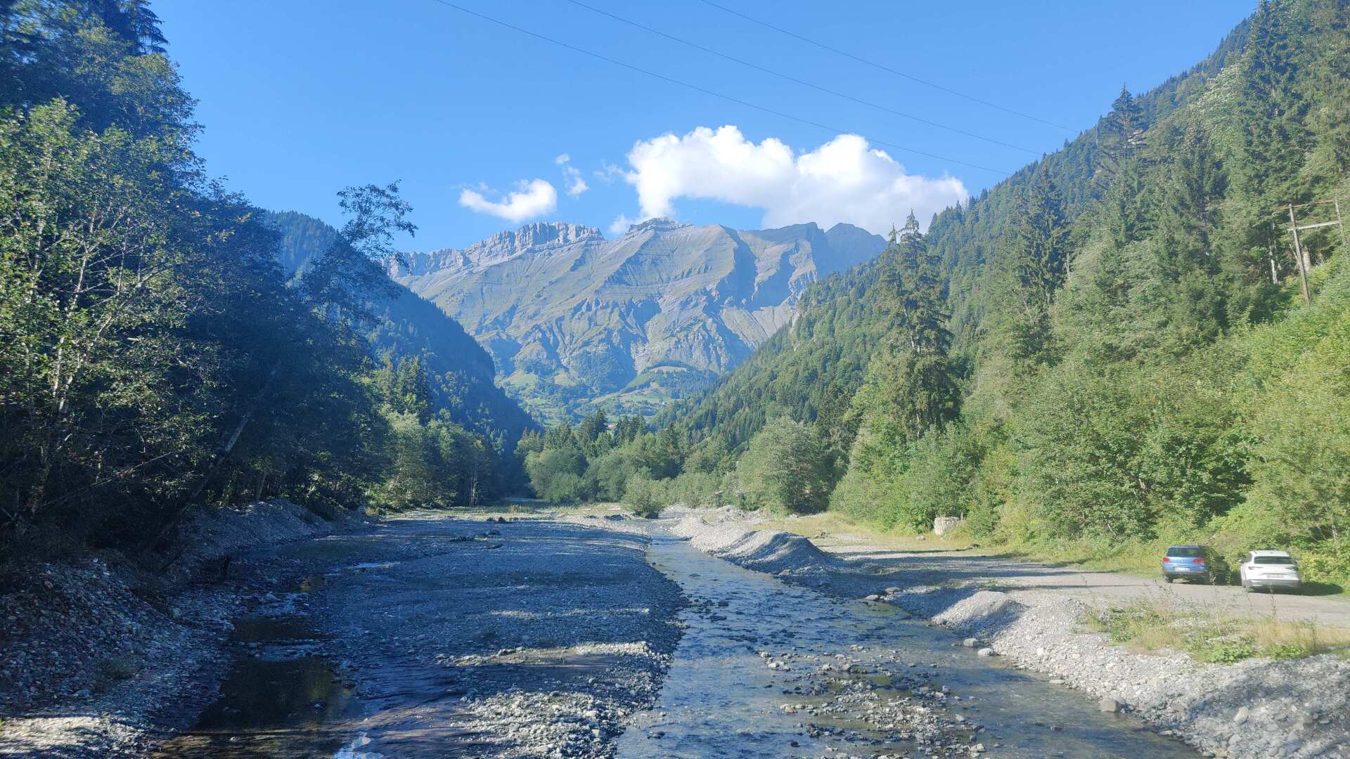
For a long time, I walk along the ‘L’Arrondine’ waterway. Two or three hikers come towards me. Later, I would have to take the hiking trail up higher. I decide to skip the detour and walk along the road instead. There is no sidewalk. After a few scooters and other cars, I finally see Flumet, my destination for the day. I’ve saved a significant amount of elevation gain by doing so.
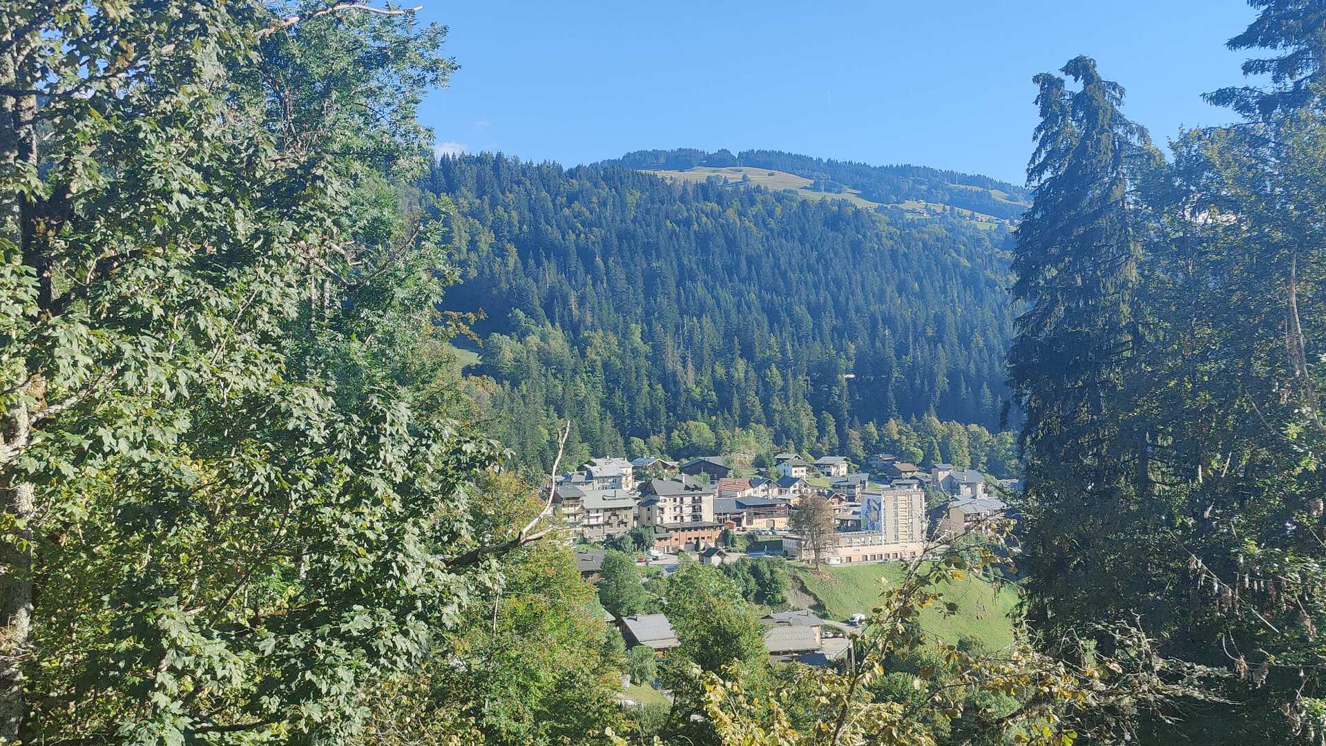
The small town of Flumet offers magnificent rows of colorful houses. I find affordable accommodation at the Hotel Mont Blanc. I am unsure whether to book breakfast, as I discovered a bakery at the entrance to the town. Nevertheless, I book breakfast; a wise choice, as the bakery was closed the next morning.
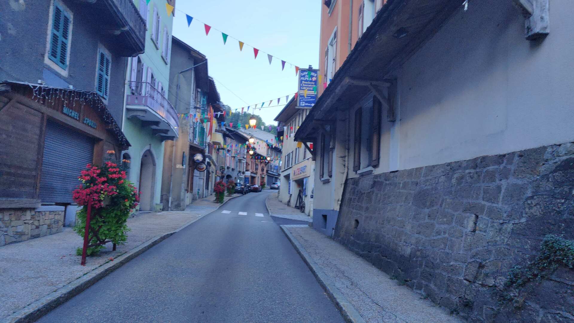
It was a tough day. Including the detours, it was probably around 2000 meters of elevation gain and about 33 kilometers. The walk to the restaurant, which is 50 meters away, requires a lot of motivation. But the pizza was of excellent quality.
Day 21: Luxury in the mountains comes at a price
Feeling refreshed and energized, I set off for today’s stage. Next up are approximately 1200 meters of elevation gain in one go, and for the first time, I’ll be going above 2000 meters. In short, I’ve arrived in the High Alps.
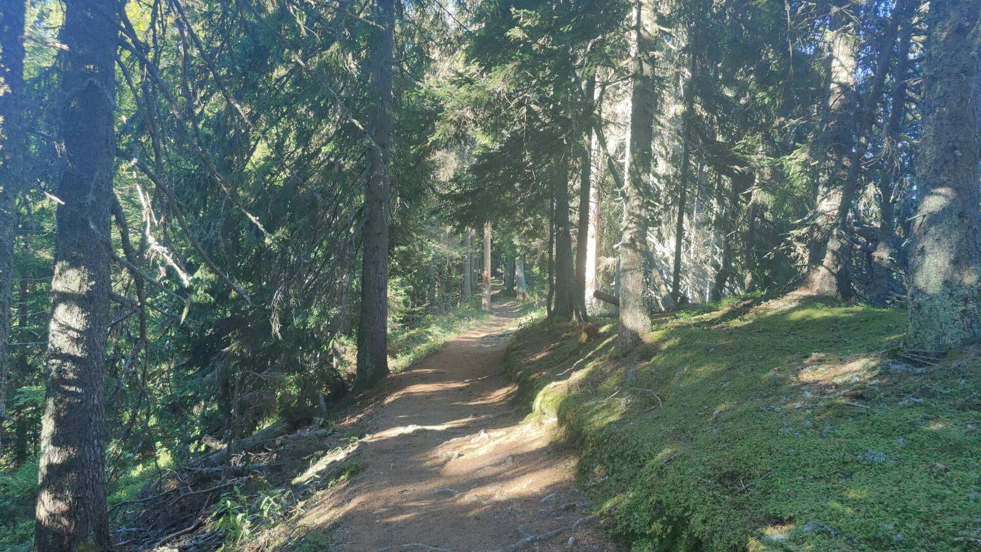
The path sometimes leads steeply uphill. The ski resort of Notre-Damme-de-Bellecombe is not particularly impressive in terms of its architecture. However, seen from a positive perspective, this creates an even stronger contrast to what follows.
Long, tranquil stretches of forest, beautiful views of the distant and nearby valleys. Apart from the effort of the climb, what more could a hiker’s heart desire?
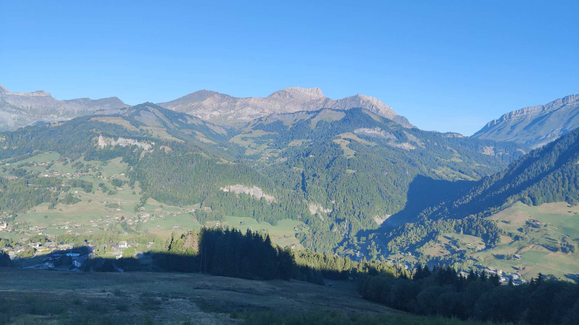
Up there, there’s a bit of a crowd for a short while. It’s Sunday, and a few families are out with their children. For a short stretch, the path is quite busy, almost like a traffic jam, but later it’s completely peaceful again.
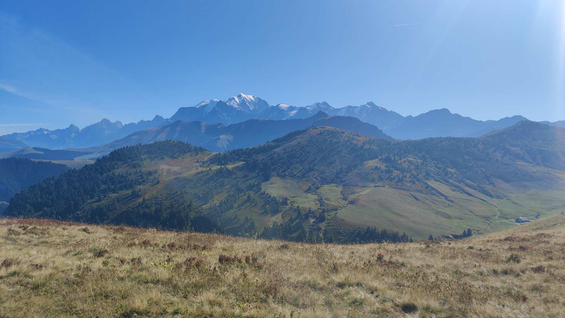
I am now well above the treeline. The view is breathtaking, although the intense sun is starting to drain my energy.
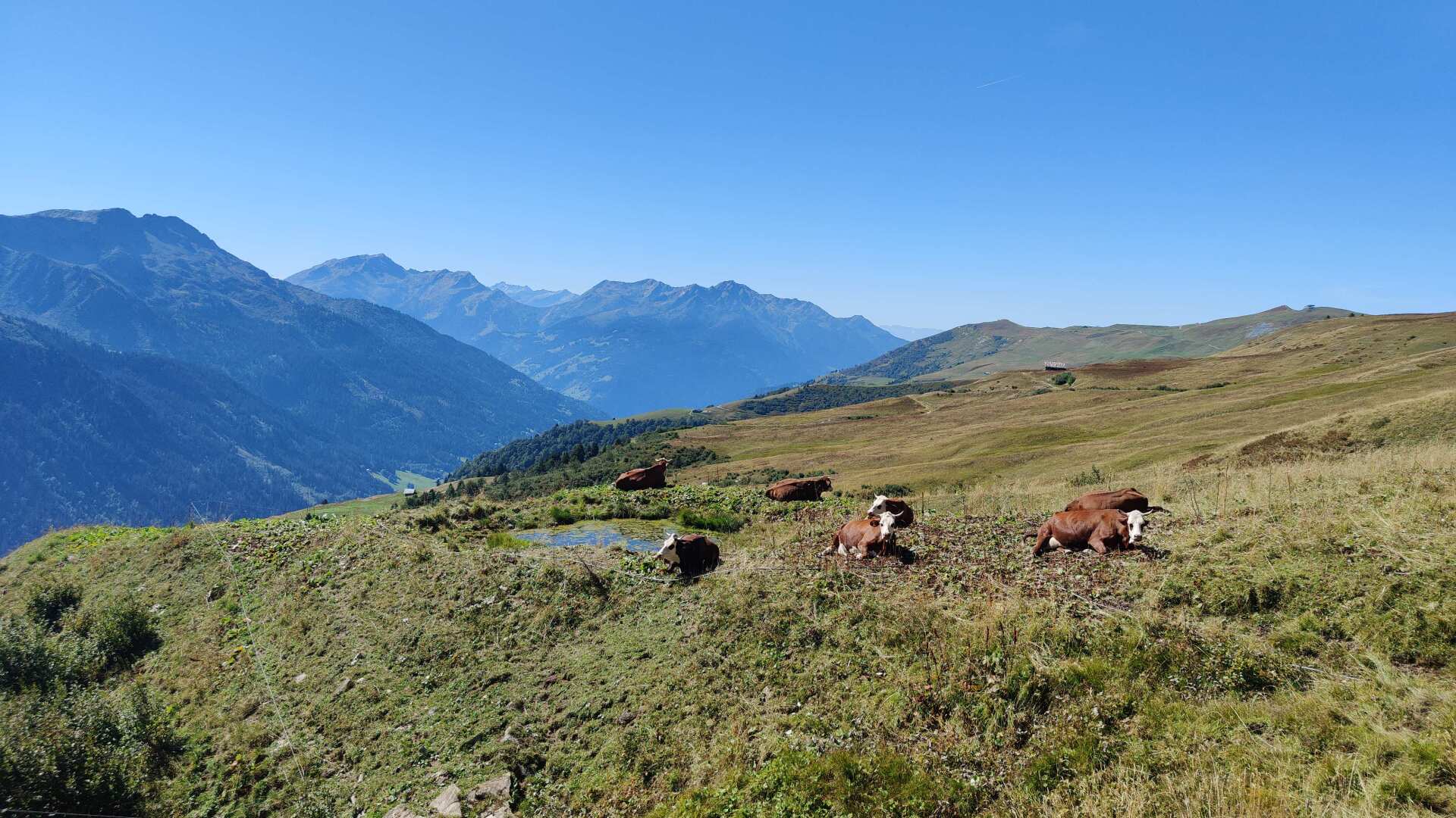
Along the way, I repeatedly encounter larger herds of cows. The only shade is to be found by leaning against the mobile milking stations, which are flown in by helicopter, on the right side.
However, there are even more cow pats there than along the path, so I’d rather take a rest by a small bush. It might not be completely sunny, but at least it’s odor-free.
I arrived at the accommodation already around half past two. The chalet is absolutely stunning, like something out of a postcard. I would have been happy with a simple refuge as well, but either they were already closed or fully booked.
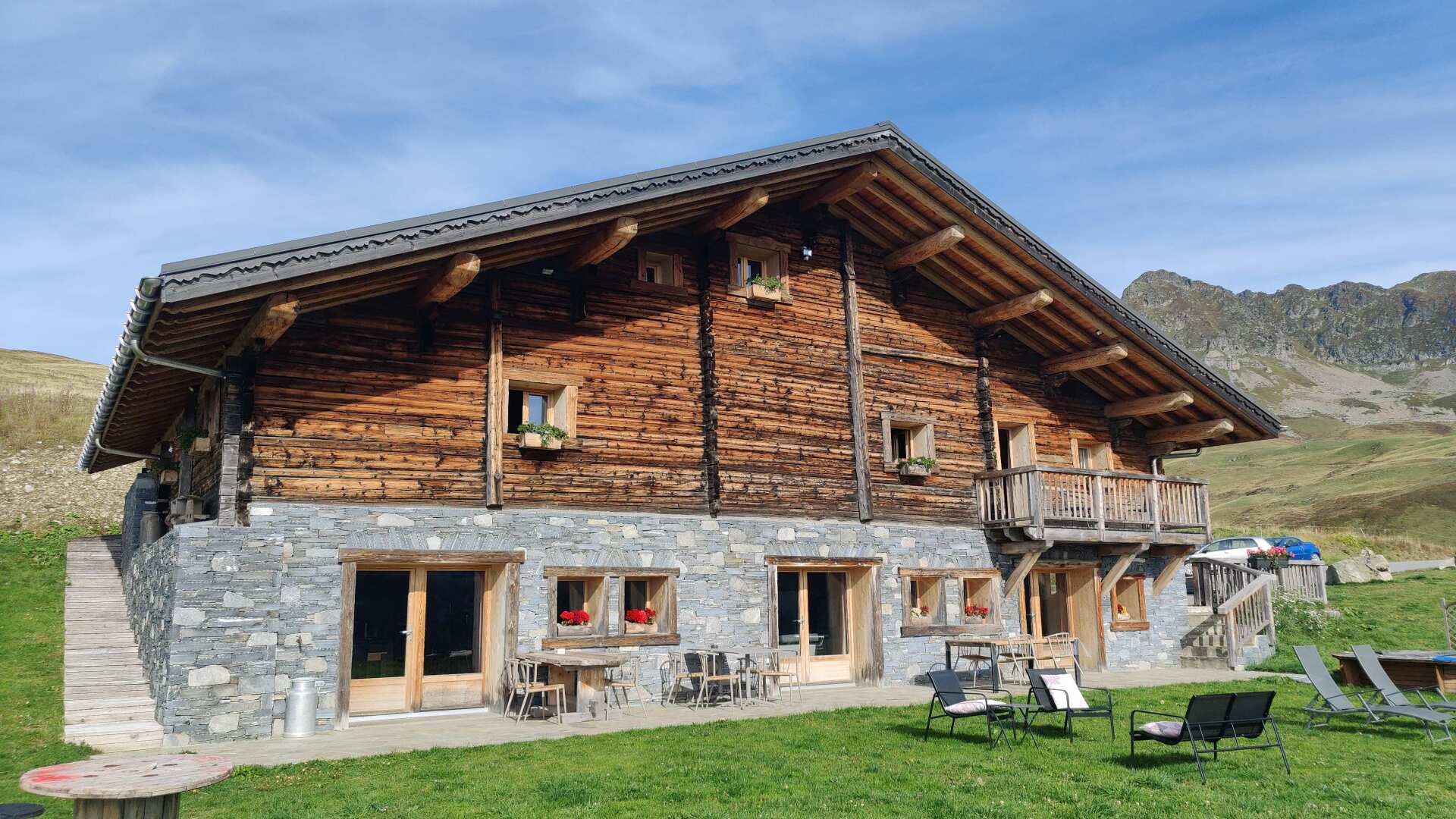
And since there was absolutely nothing along the way, I ended up paying a price that was justified by the high standard of the accommodation. Around 190 euros for a room. To be fair, a very, very lavish breakfast was included in the price.
In return, you get quite a lot, and the four-course dinner for 30 euros is reasonably priced, while the picnic for 8 euros is an absolute bargain.
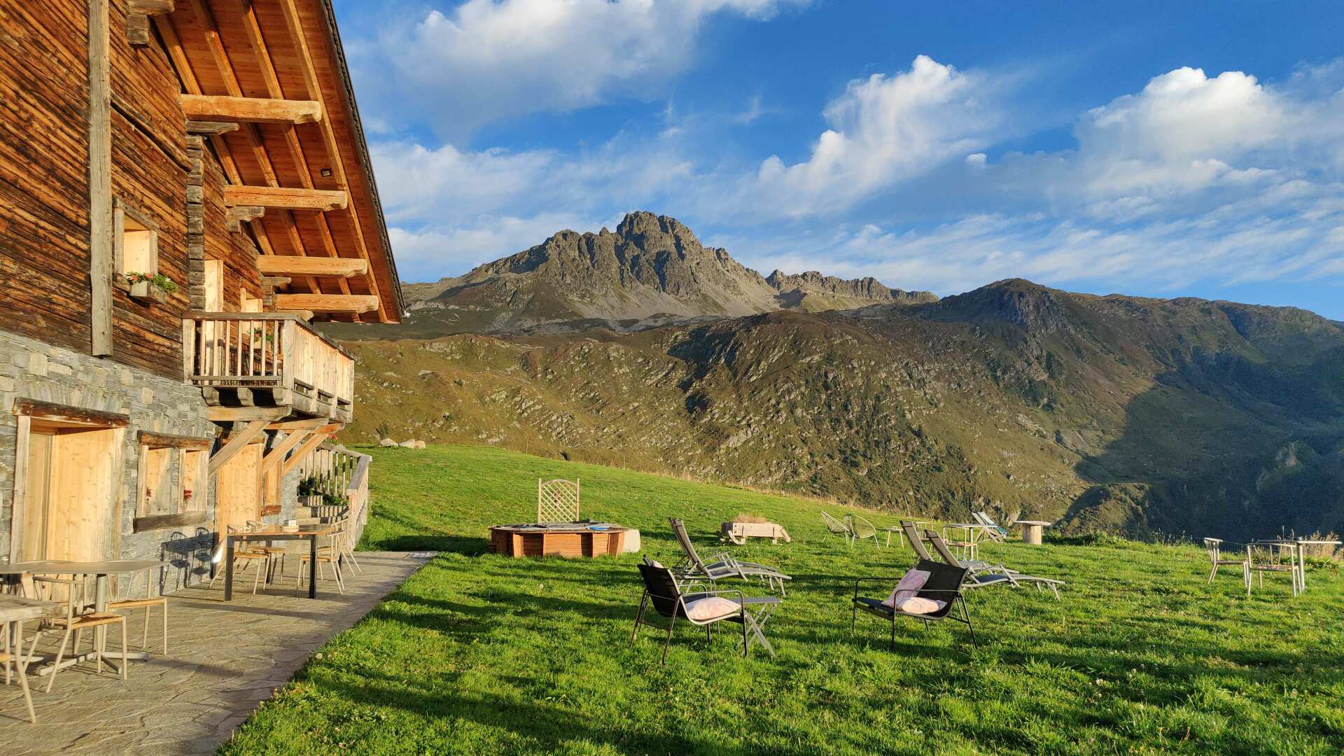
At this price, I feel like I’m among a clientele who would happily spend a hundred or two on a bottle of wine. I just settled for water.
It should also be noted that the hostess, despite the fact that I was now, in terms of attire, out of sync with the other guests, treated me very kindly.
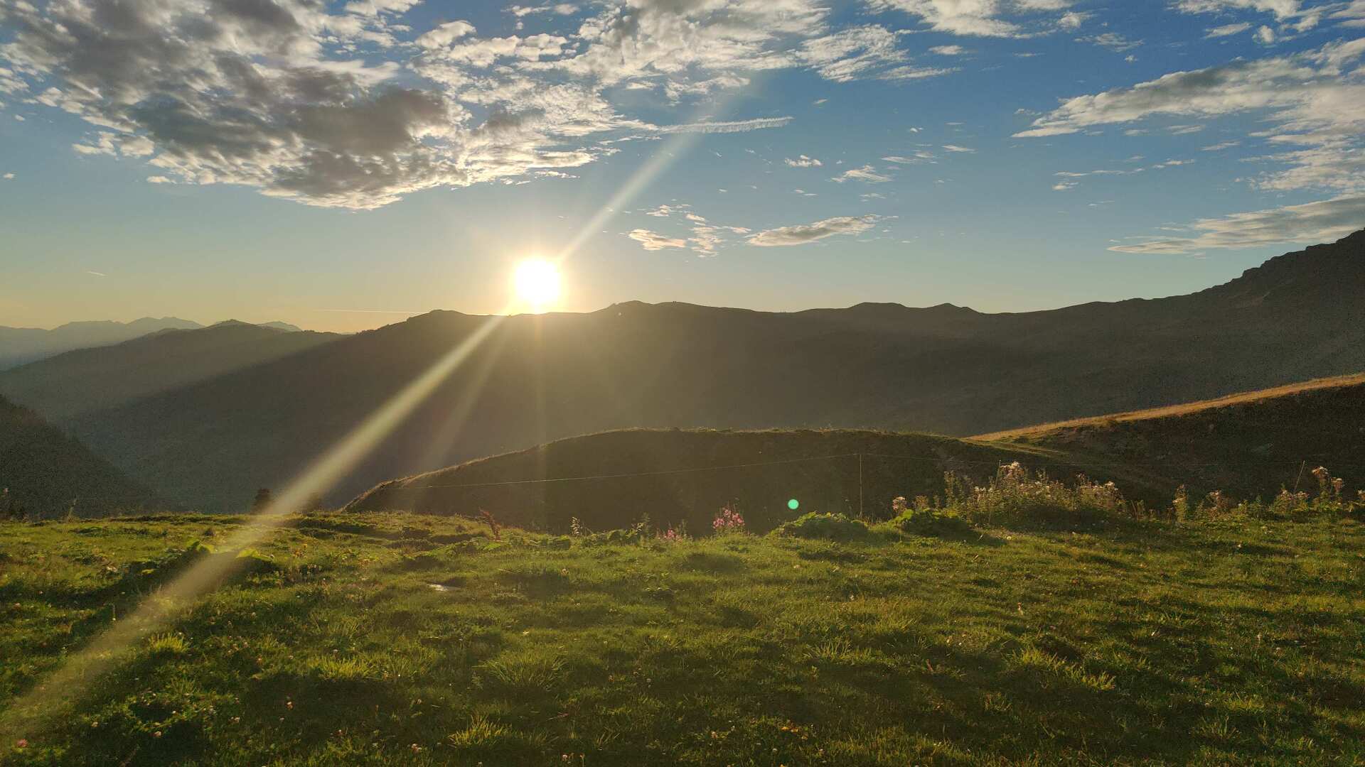
Das nicht ganz preiswerte Abenteuer wurde ferner mit einem Sonnenuntergang gekrönt, der einen den Preis vergessen lässt; zumindest bis die Abrechnung der Kreditkarte ins Haus flattert.
The somewhat pricey adventure was further enhanced by a sunset that made you forget the cost, at least until the credit card bill arrives.
Day 22: Despite a detour, quickly rise to the top
Today, we’re tackling three mountain passes. First, we’ll go to the Col de la Fenêtre. Initially, it’s a paved road, but the last section is rocky, although not technically challenging. A simple caravan with its door open stands at the roadside. The contrast with my luxurious mountain chalet for the last night is quite significant.
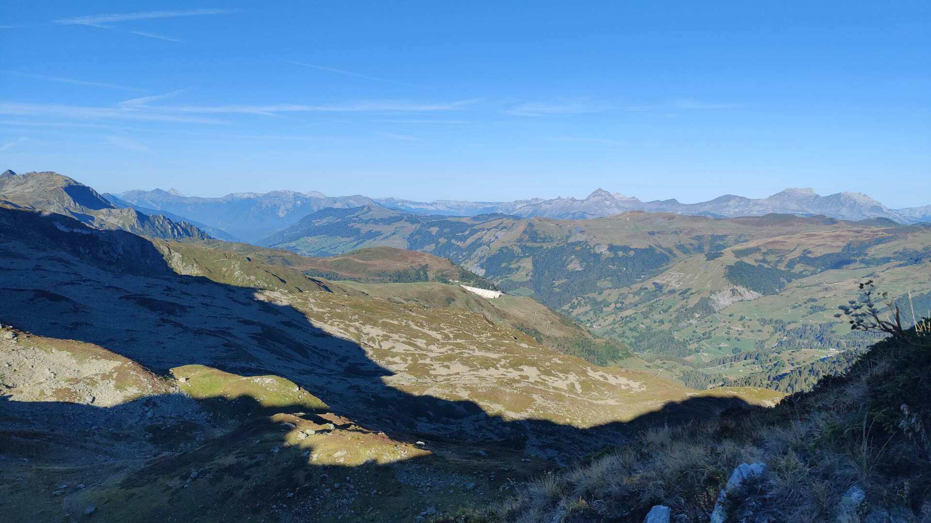
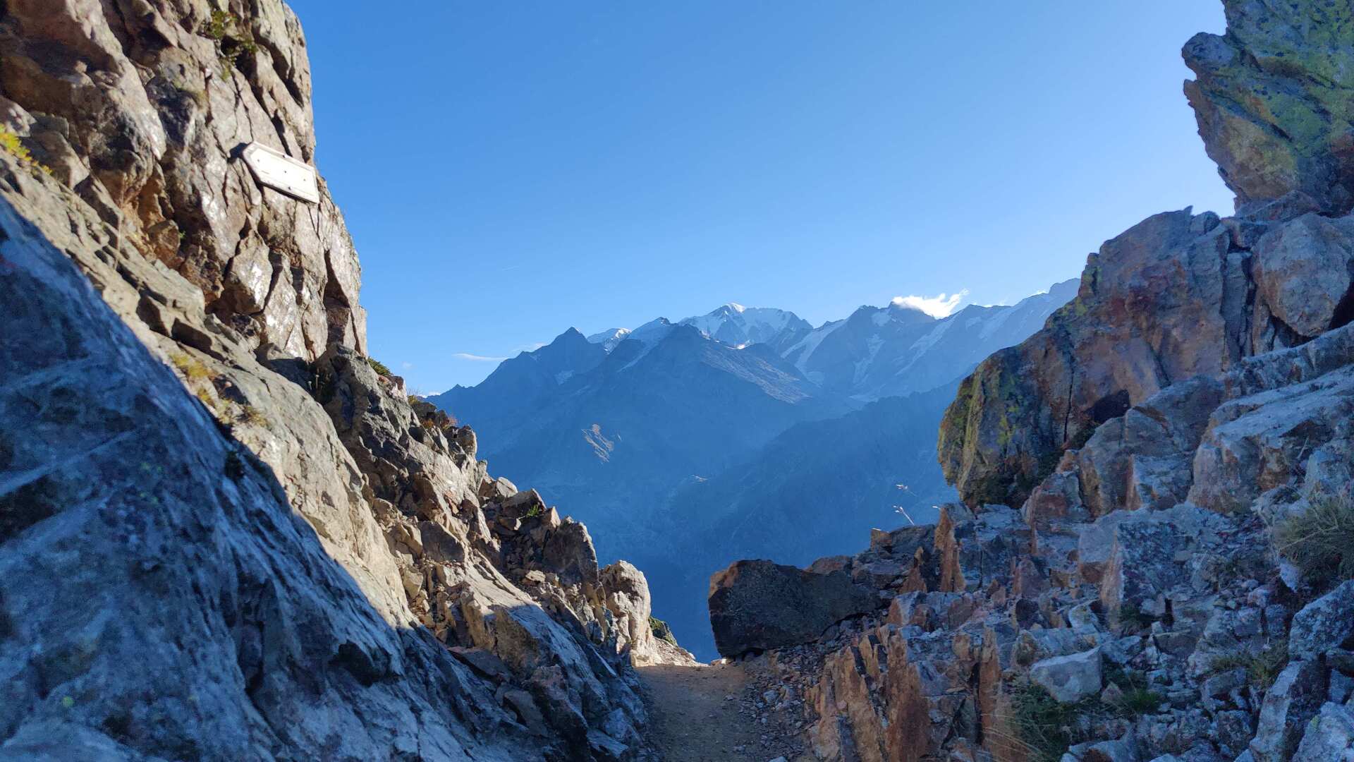
The pass is more like a rocky gap, and the descent is steep and strewn with stones. It’s not recommended to stumble, but it probably wouldn’t be life-threatening.
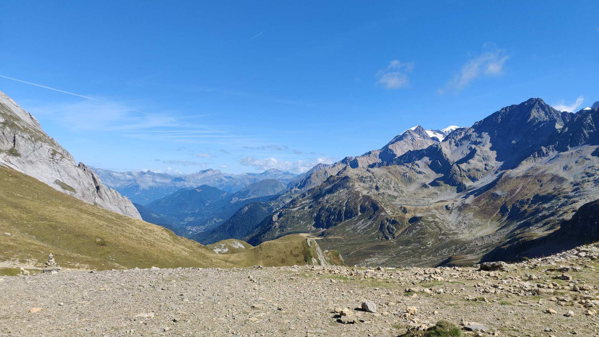
My route would take me directly across to the Col du Bonhomme. Signs warning of rockfall strongly advise against taking this route and recommend the main route via the Refuge de la Balme. This is an extra hour of walking, but it’s a safer way to reach pass number 2.
However, the main trail leading up to the Col du Bonhomme has to be shared with dozens of other hikers. We are now on the main route of the Tour du Mont Blanc. This is essentially the Rolls-Royce of French hiking trails.
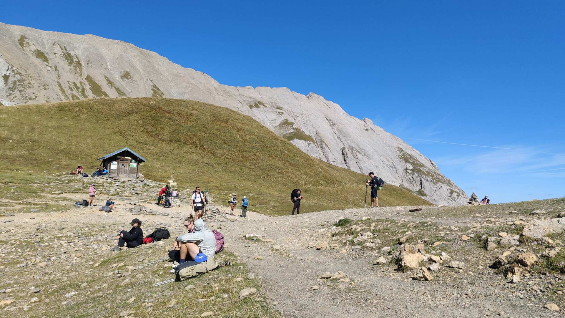
No one is hiking alone here. I know this section from last year, as the GR5 also passes through here. Everyone hikes at their own pace. The size of the backpack doesn’t primarily determine the pace, but rather fitness.
At the top of the pass, there are magnificent panoramic views. After the pass, the trail leads to the Réfuge de la Croix du Bonhomme.
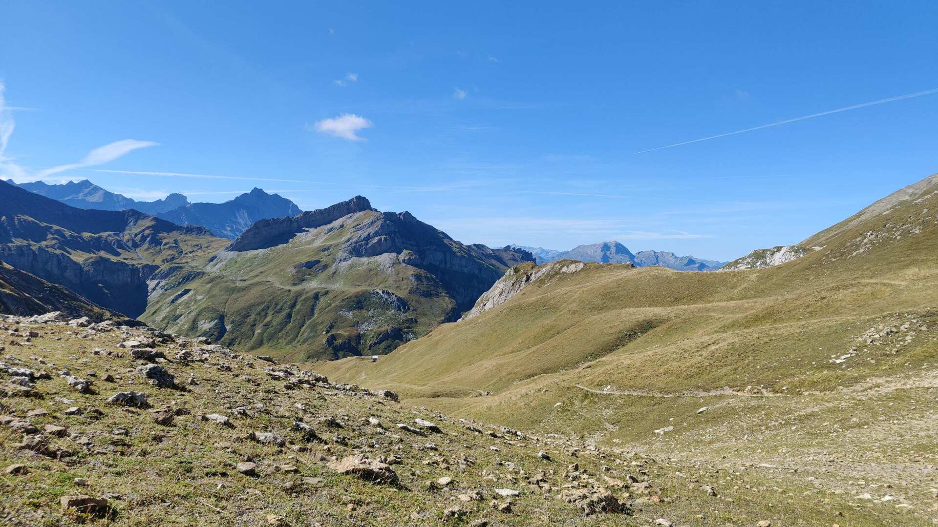
Unfortunately, this accommodation is closed until the summer of 2029 due to renovations. No wonder there was no space at the Réfuge de la Balme.
My path doesn’t lead to the hut; I turn off to the left shortly before it and head upwards. We’re going up to 2683 meters to the Col des Fours, my third pass. We find a very barren, rocky landscape.
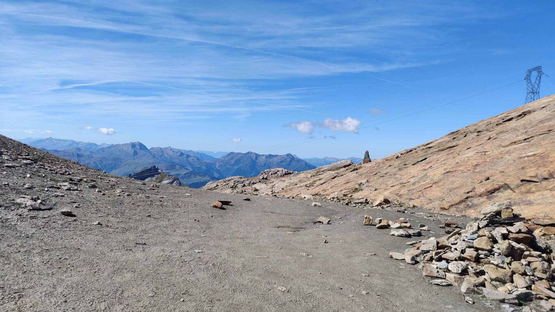
The descent is steep and the terrain is not very stable. Caution is advised. The passage would be even more difficult, or even not recommended at all, if there is still snow.
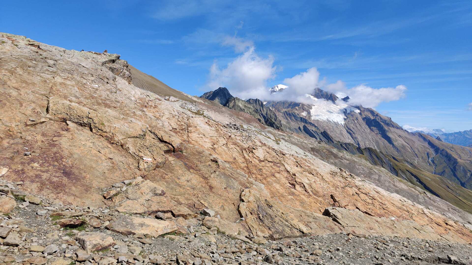
As mentioned, the terrain is steep, and any slip on snow would be dangerous. Also, the warmth can cause areas to become waterlogged and unstable. There have been, and continue to be, occasional (even fatal) accidents.
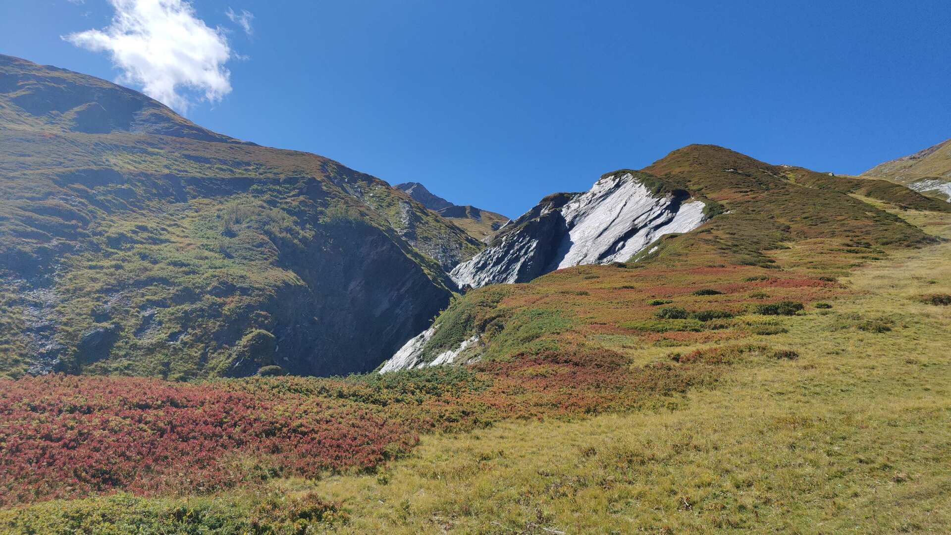
During my crossing in late autumn with stable weather conditions, the pass was quite easy to navigate (provided you have the appropriate level of fitness). After the upper, rocky section, there are also softer, grassy sections lower down.
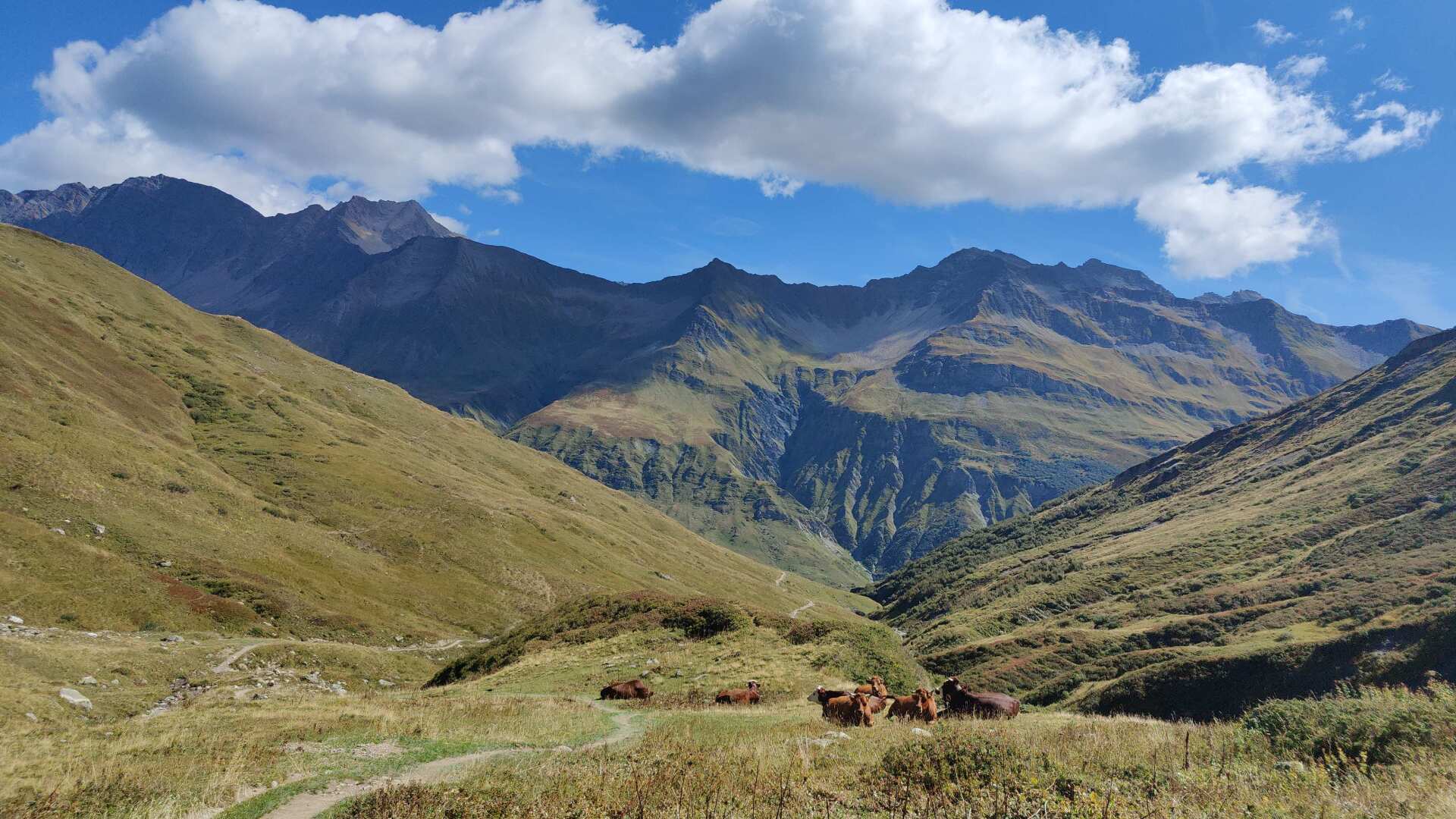
In total, there’s a 900-meter descent to the ‘La ville de glaciers’ alp. It can be said that I was almost alone on this section of the trail.
Perhaps most of those hiking the Mont Blanc take the route via ‘Les Chapieux’, even though it’s a detour of a few kilometers, as the trail is considerably less challenging.
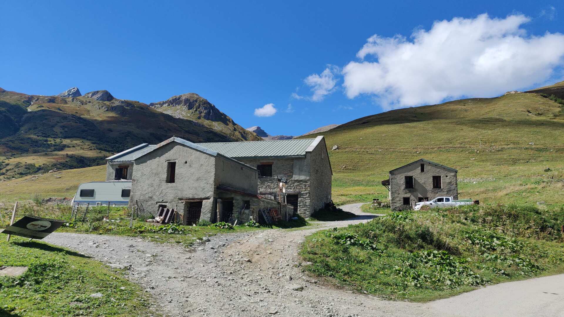
It’s just a stone’s throw to the ‘Réfuge des Mottets’ shelter. I needed about six hours to cover the roughly 18 kilometers and 1600 meters of elevation gain. With a certain satisfaction, I realize that the hard work in the Jura is starting to pay off.
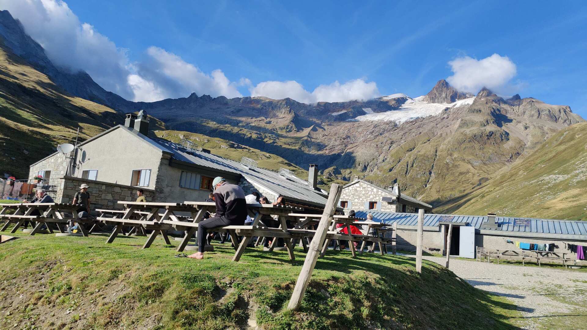
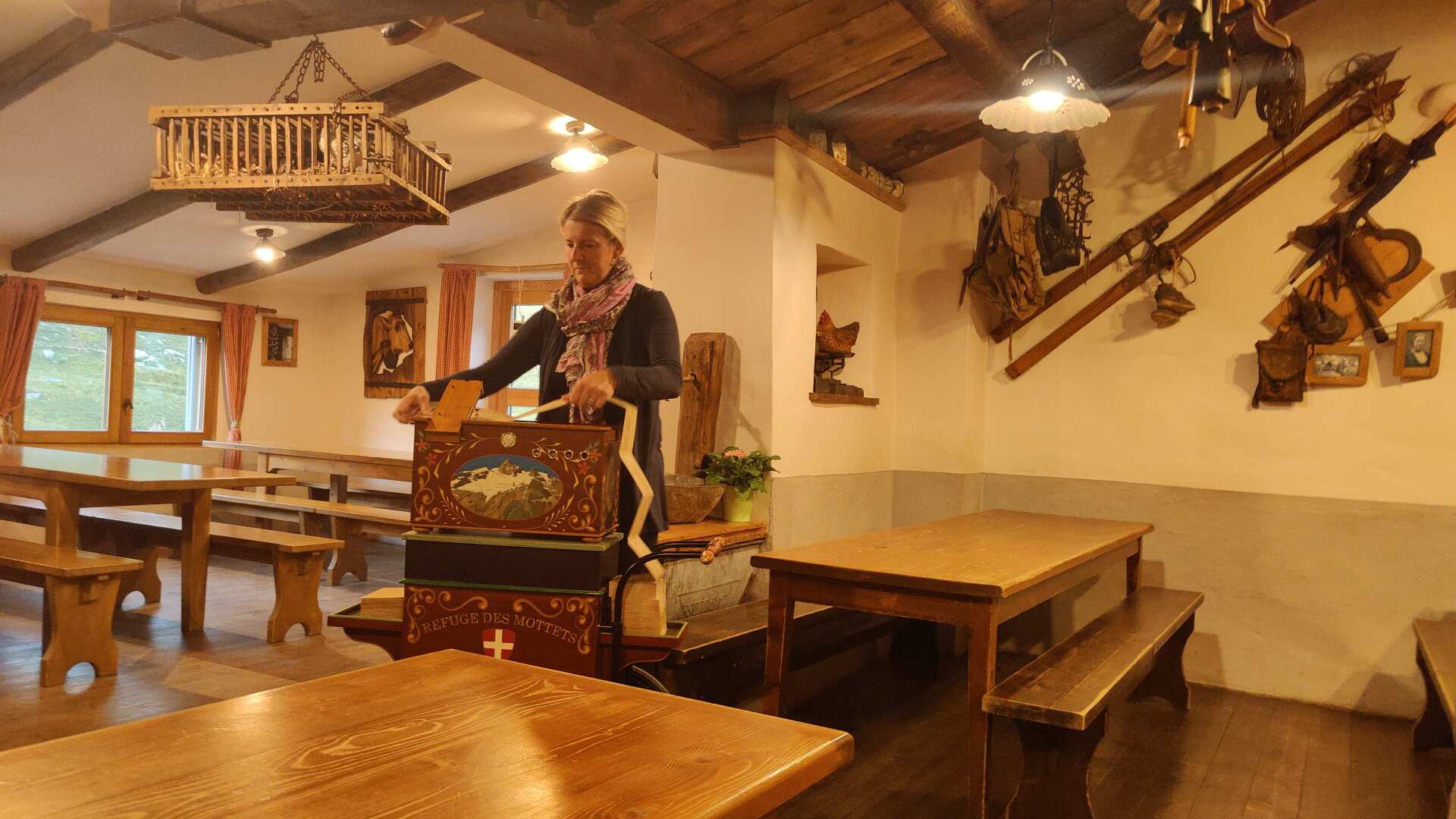
The dinner is excellent, and a barrel organ performance serves as the perfect finale. It truly is a wonderful end to a great day.
Day 23: Welcome to Italy
A younger man mentioned to me this morning that I had a good pace yesterday. And yes, I can see that things are going well right now. After about an hour, I covered the 4.2 kilometers and 600 meters of elevation gain to the pass.
Just a reminder: Not even a week ago, I needed about 2.5 hours to cover roughly the same distance in the Jura. My faster pace is also because I want to catch the bus to Aosta in the early afternoon so I can travel back to Switzerland from there.
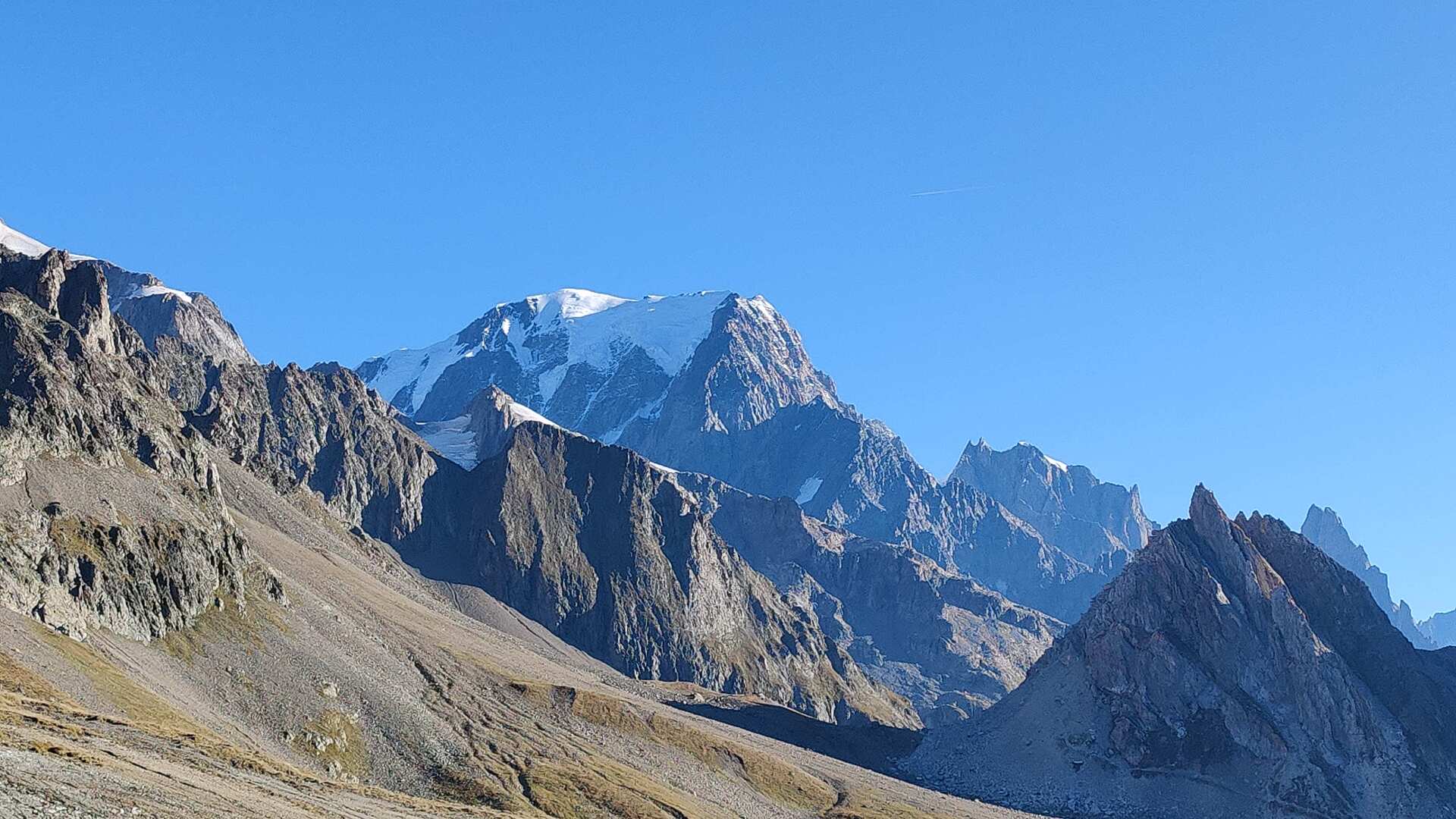
At the Col de la Seigne, you’ll find the most beautiful view of Mont Blanc at the end of the hike. The pass marks the border between France and Italy. Another milestone has been reached.
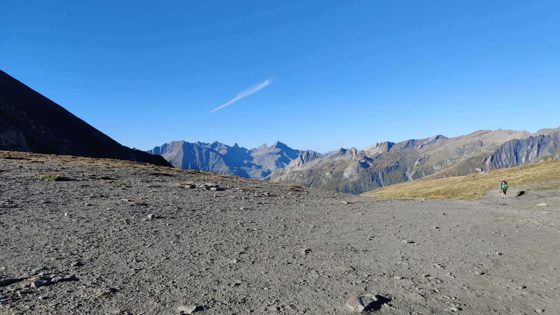
With a touch of sadness, I look back at France one last time. This wonderful country has accompanied me for about 500 kilometers. Furthermore, I can now confidently say that I am definitely on the second half of my tour.
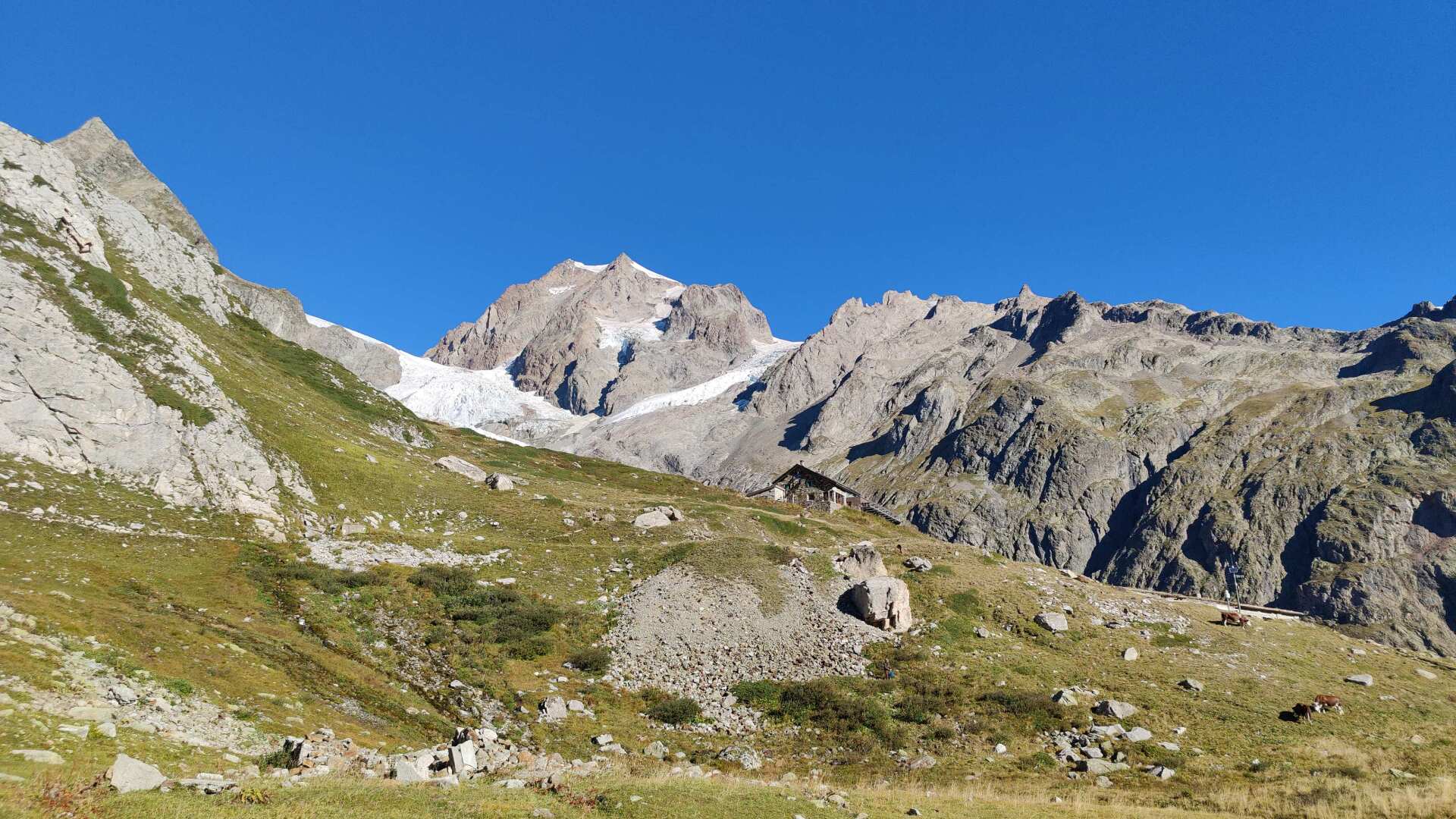
The distance to Bregenz still seems considerable. Italy alone will add another 500 kilometers to the journey. That’s quite a lot to cover on foot.
And yet, this morning I stroll down into the Aosta Valley with light steps. For once, the descent isn’t very steep, and I’m further accompanied by a backdrop that is already quite enchanting.
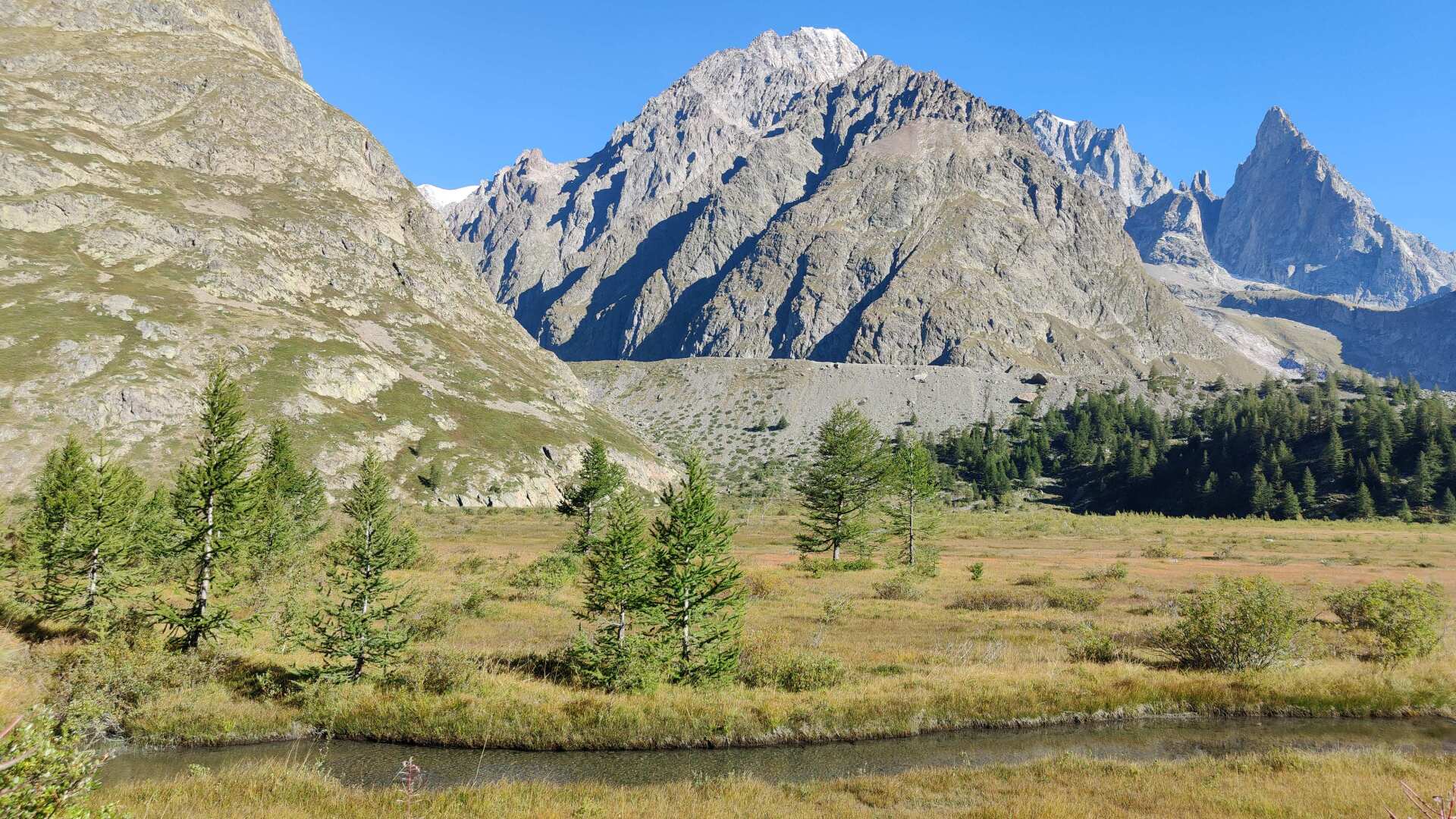
Rugged rocks, adorned with glaciers, contrasting with lush meadows and a vast, valley-filling bog – it is a truly breathtaking scenery.
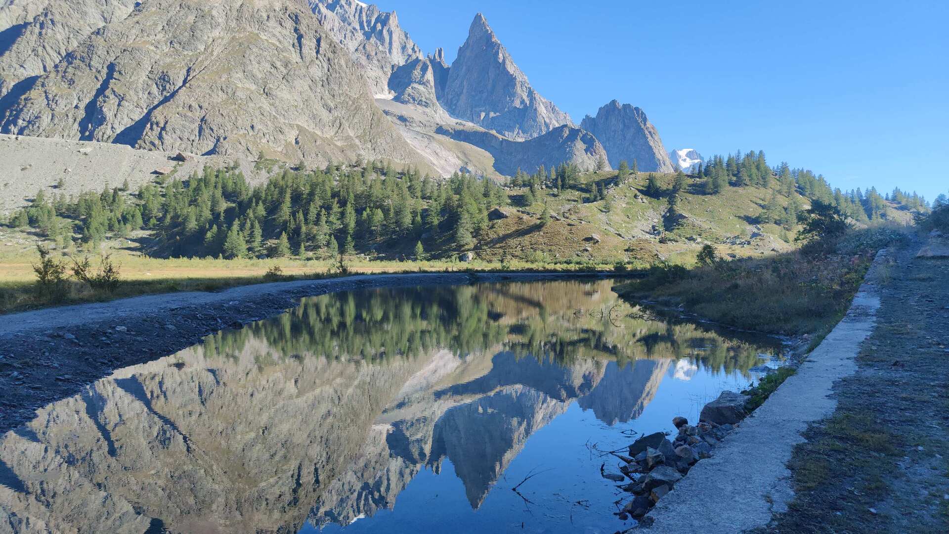
At the top, I have the path to myself, but further down in the valley, I encounter more and more people coming from the opposite direction, heading uphill. Most of them are walking, but some are also on two wheels.
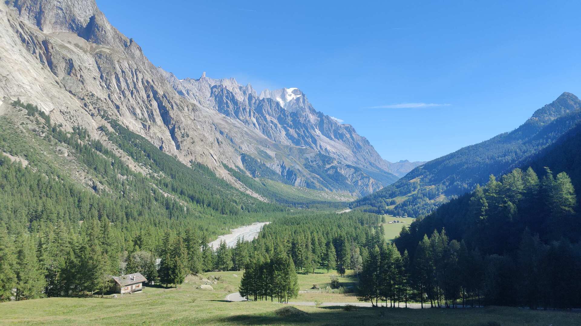
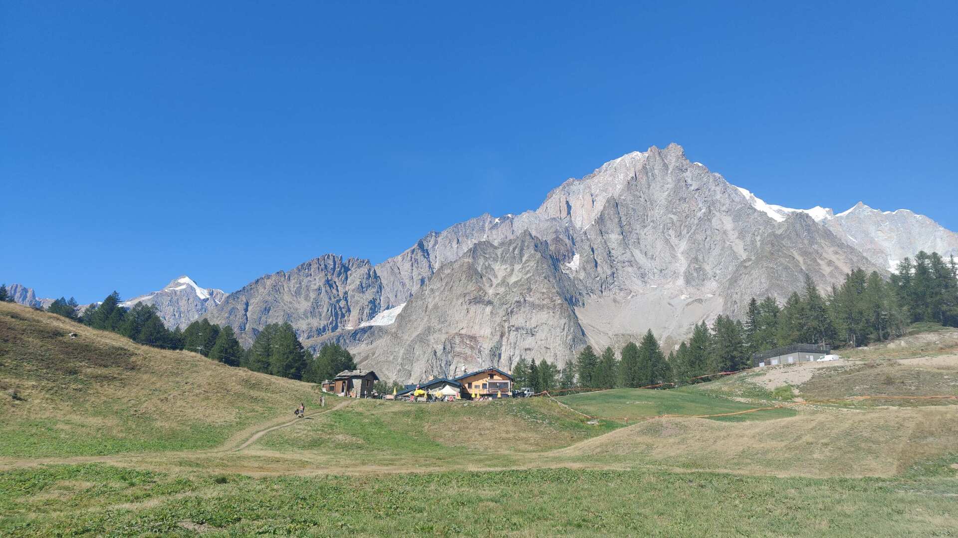
I could now walk along the road all the way to Courmayeur. A bit faster, although it involves another 400 meters of elevation gain, I’ll take the shortcut through the ‘La Visaille’ ski area. The ascent along the slope shows that even in late summer, there is no grass, but rather a gravel slope.
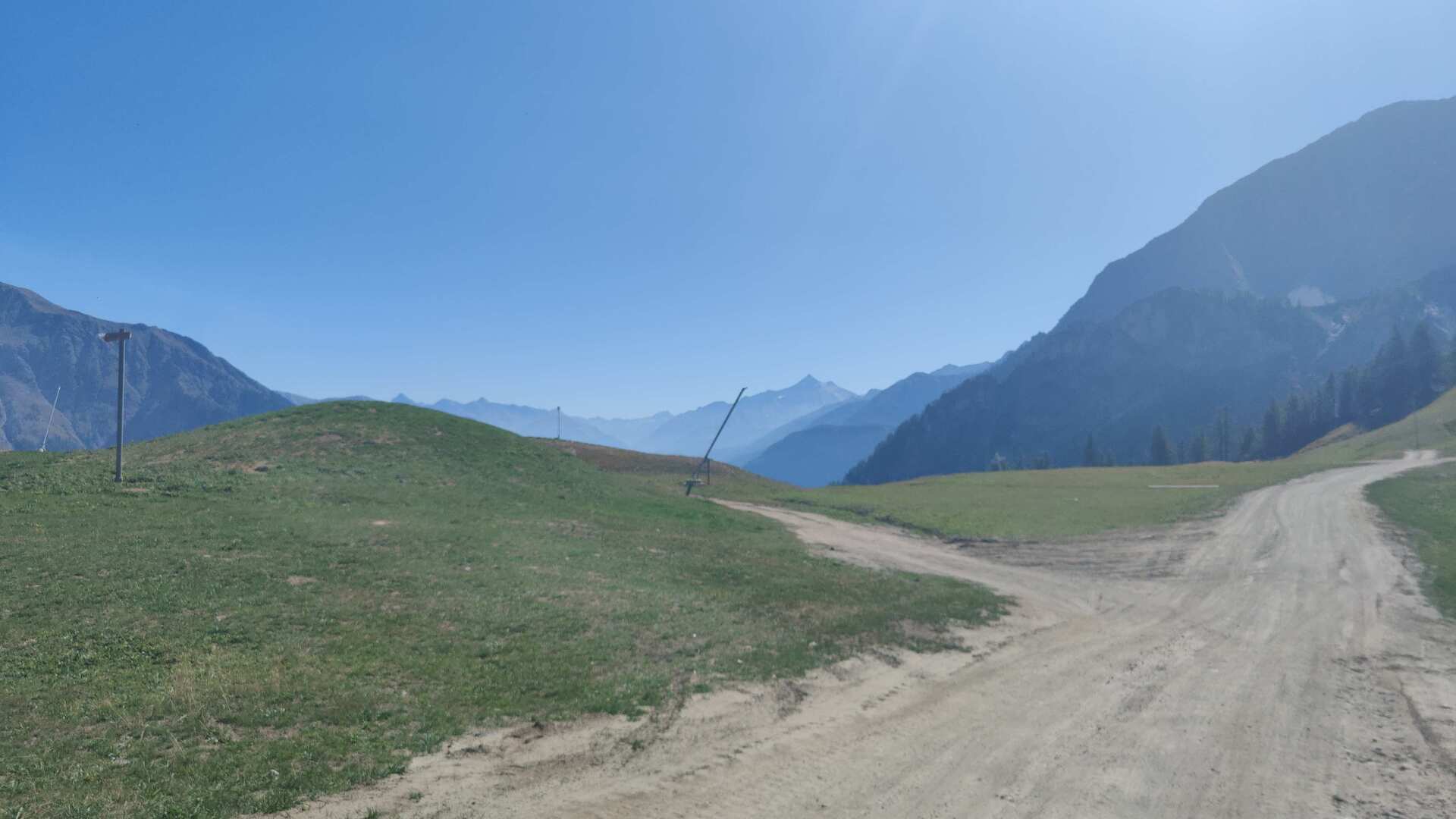
At the top, you get the first wide view of the Aosta Valley. However, it’s not exactly easy to take a landscape photo. There are poles or snow cannons everywhere. It would be nice if it were different.
The descent into the valley is very steep. However, thanks to the many hairpin bends and shade, the thousand meters of descent are less daunting than expected. At the bottom, I leave Courmayeur to my right and head directly to the highway. The path on the map turns out to be nonexistent, and the only way leads through a landfill.
Eventually, I heard the wail of sirens. I must have triggered some kind of sensor or trap. Luckily, no one showed up. But that loud “jum-jam” sound reminds me of a very unpleasant encounter I had in southern Italy. I was walking past a landfill and took out my camera. Shortly afterward, a sports car with Albanian license plates came speeding toward me.
The man behind the wheel pulled out his smartphone and took a picture of my face. He threatened me, saying that if I published my recordings, they would find me, everywhere! It will leave its mark even years later.
With quick steps, I approach Pré-Saint-Didier, my destination. The name reveals that the French language is still widely spoken in the upper Aosta Valley. The sign on the school says “École,” and even the street names don’t necessarily indicate that I am in Italy.
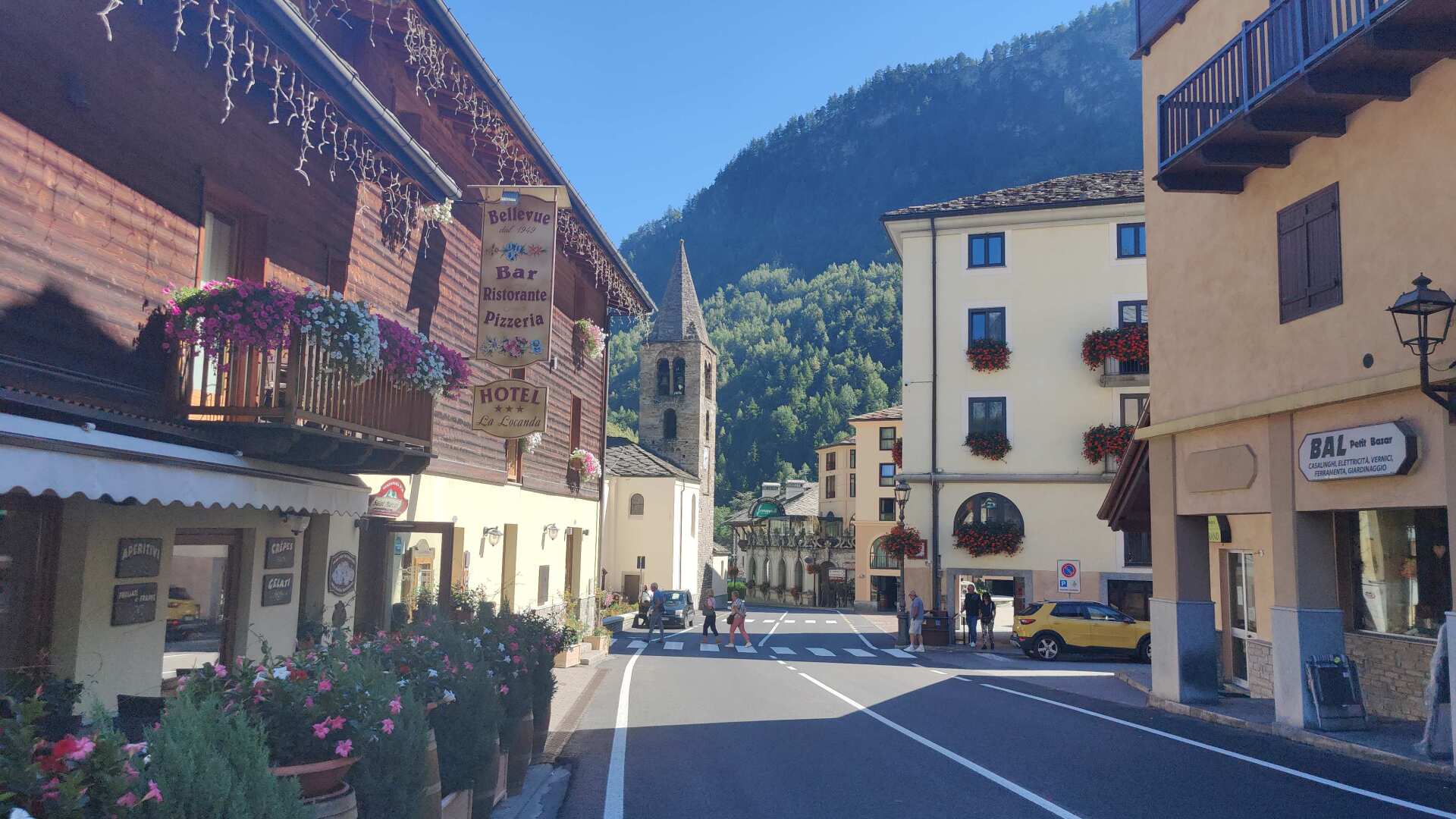
In principle, I should have arrived at the bus stop at 2:50 PM to catch the bus to Aosta, and I was already there before 2:30 PM. However, when the bus was supposed to arrive, it didn’t show up. Furthermore, there were no bus markings on the road leading to Aosta.
I ask a man. He picks up his phone and asks. Then he points towards the village and says ‘Pullman, Eglise’. I run back quickly. There’s no bus there either. Eventually, I spot a small sign that says Aosta, with an arrow pointing left and the indication 50 meters.
My sprint across the small alley to the main street is unsuccessful. I can just make out the bus pulling away. Instead of getting on the bus, I end up making a kind of crash landing on the lawn. The bus is gone, but at least I found the bus stop.
An hour later, a bus was scheduled to arrive. It arrived on time, but it was completely full. I barely managed to squeeze into the aisle. Later, the bus passed by several stops, leaving entire groups of waiting passengers behind.
I ask a woman if the bus is always this crowded. She says that school has started and the price of gasoline is currently very high. I think that in Switzerland, no driver would even consider taking the bus because of the higher gas prices, while in the Aosta Valley, the bus is so crowded that not everyone can even get on.