The summer of 2026 was so hot that I simply didn’t feel like continuing the hike. That’s why I didn’t start the next stage until September 1, 2026. The solitude of the Jura was beautiful, but it was also (somewhat) challenging logistically.
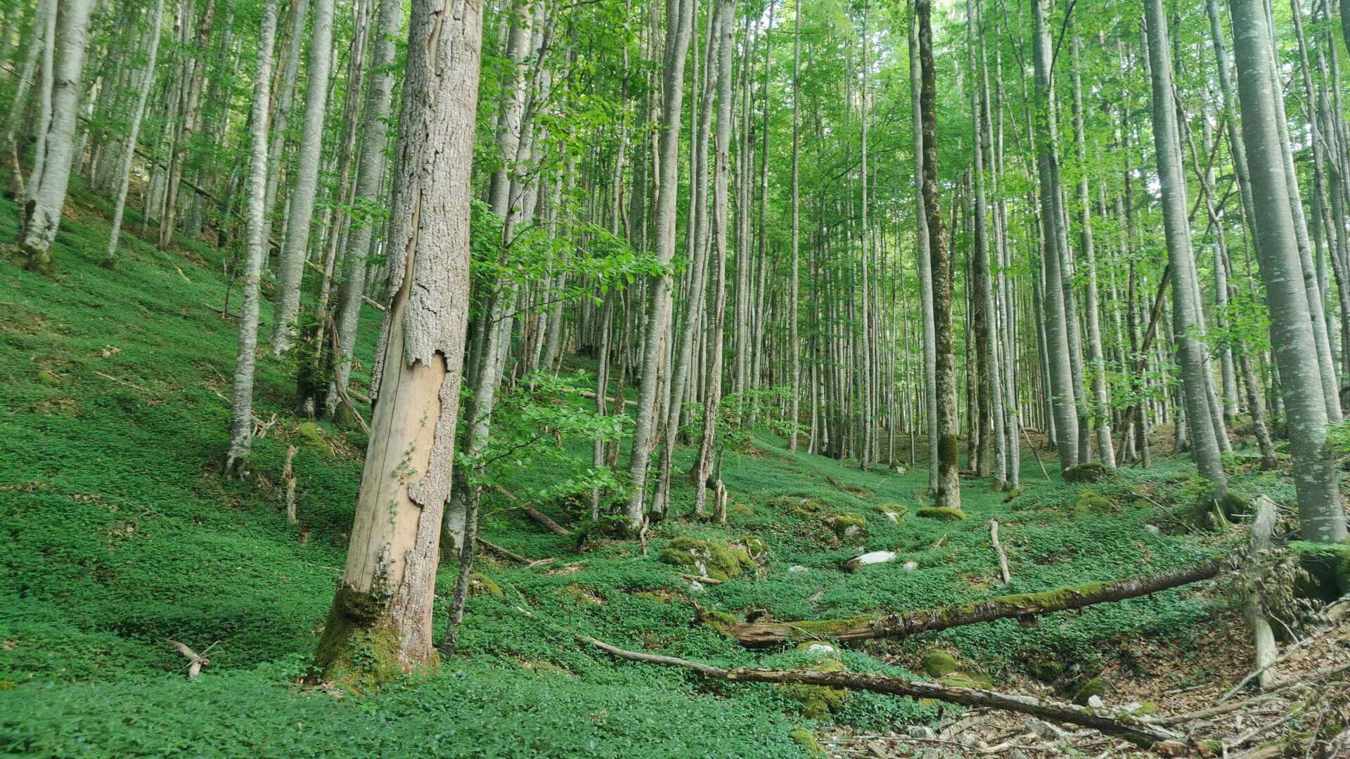
Day 13: Almost stranded without accommodation
As early as May, I had the unpleasant ‘experience’ that the return journey from Pontarlier was anything but easy. Getting there from Zurich is even more difficult. The fastest route goes via Basel and Dijon. This is quite a ‘significant’ detour, but at least it allows you to reach Pontarlier shortly after 11 a.m.
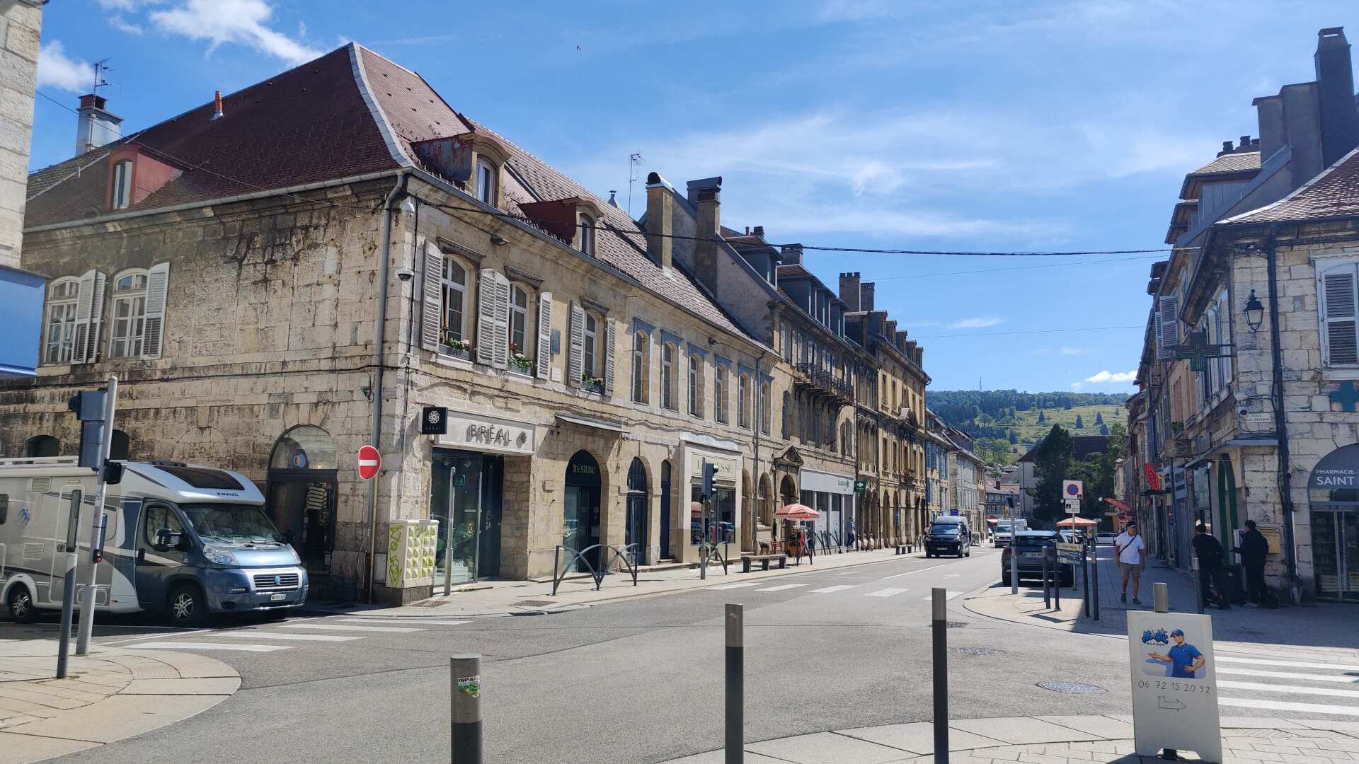
At least, according to the timetable. In reality, the super-fast TGV got stuck somewhere on the route between Dijon and Lausanne. At least, the connecting train from Frasne waits for half an hour. The French national railway company (SNCF) seems to be ‘more generous’ in this respect than the German railway company (greetings from Singen).
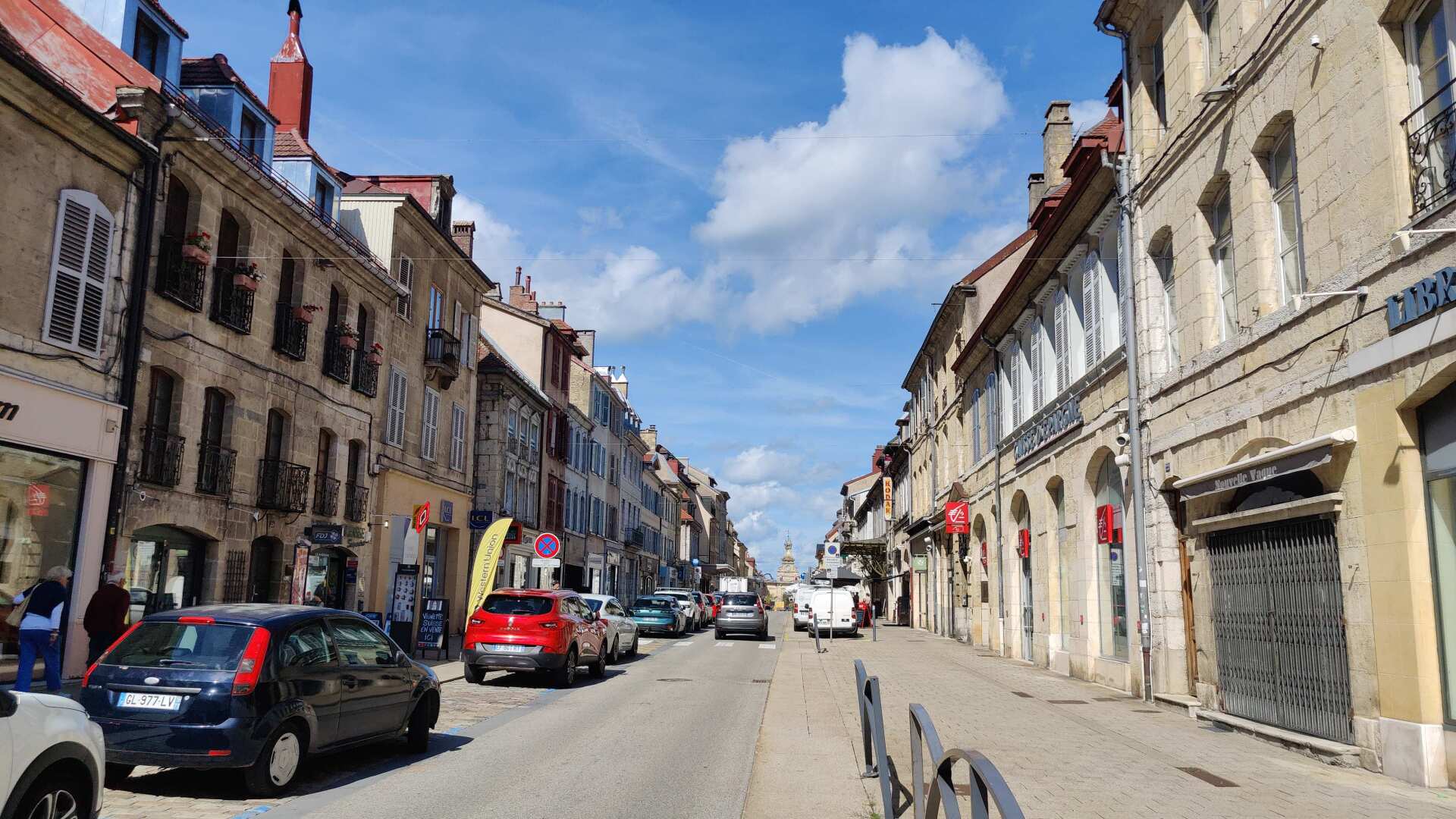
In the old town, I’ll get something to eat. At the pharmacy, I’m not sure if I should buy more blister plasters. I still have three left, but it’s better to be safe than sorry.
It was a wise decision. Because for the next five days, I would have to treat at least one new blister every day.
Beyond Pontarlier, I encounter the Doubs again. A majestic river continues to flow alongside me.
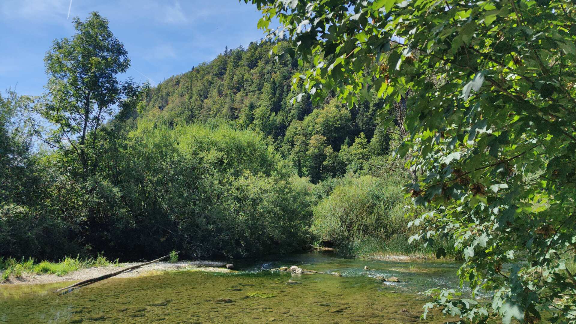
In principle, I could have simply followed the Doubs river. That route would have been a few kilometers shorter. However, the route I took has the advantage of allowing me to visit the Château de Joux.
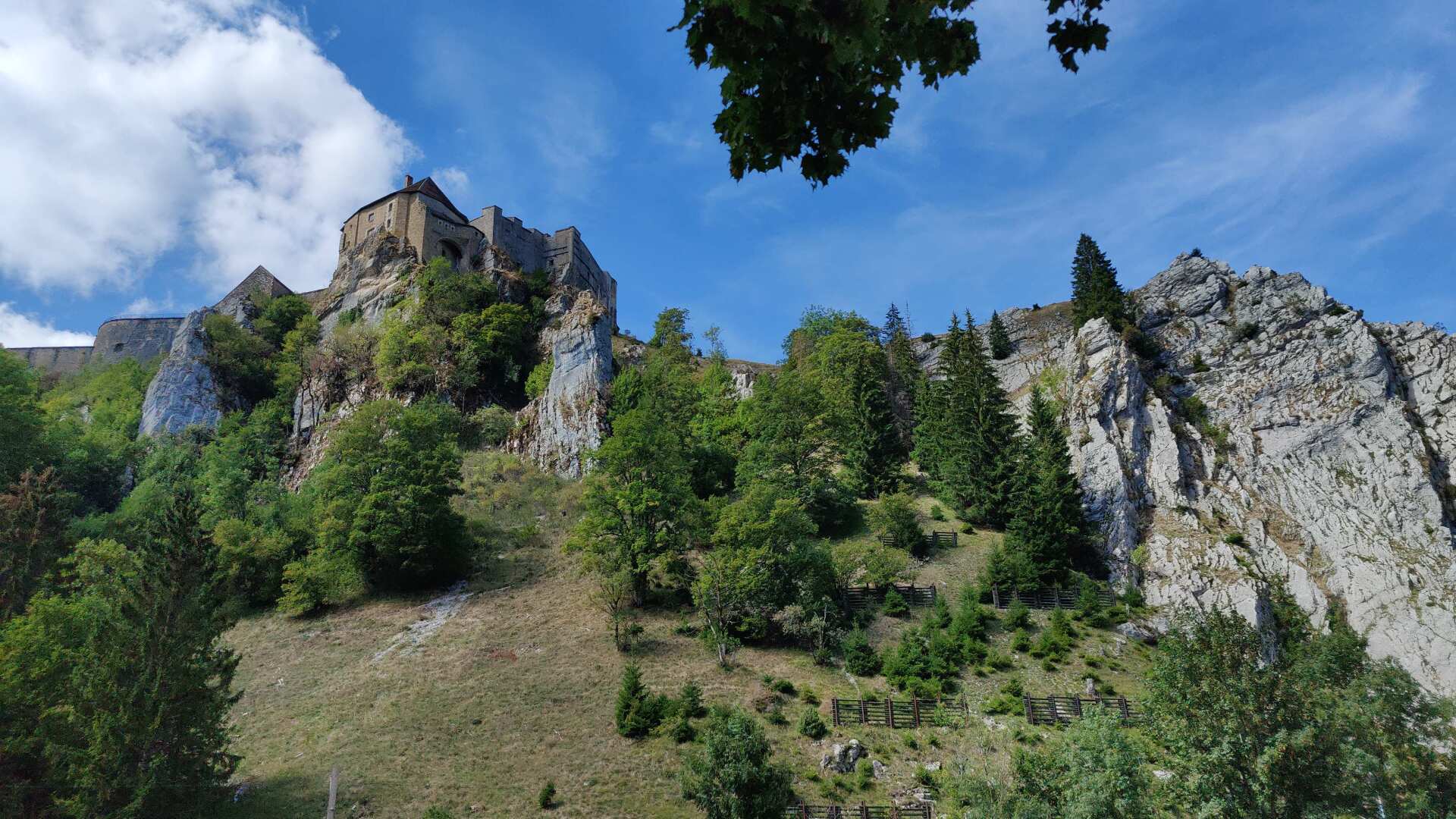
Just then, I receive a message saying that my accommodation for tonight has been cancelled. The alternative options suggested by the booking platform aren’t very appealing. The suggestions within a 20 to 50 kilometer radius aren’t really inviting to walk to.
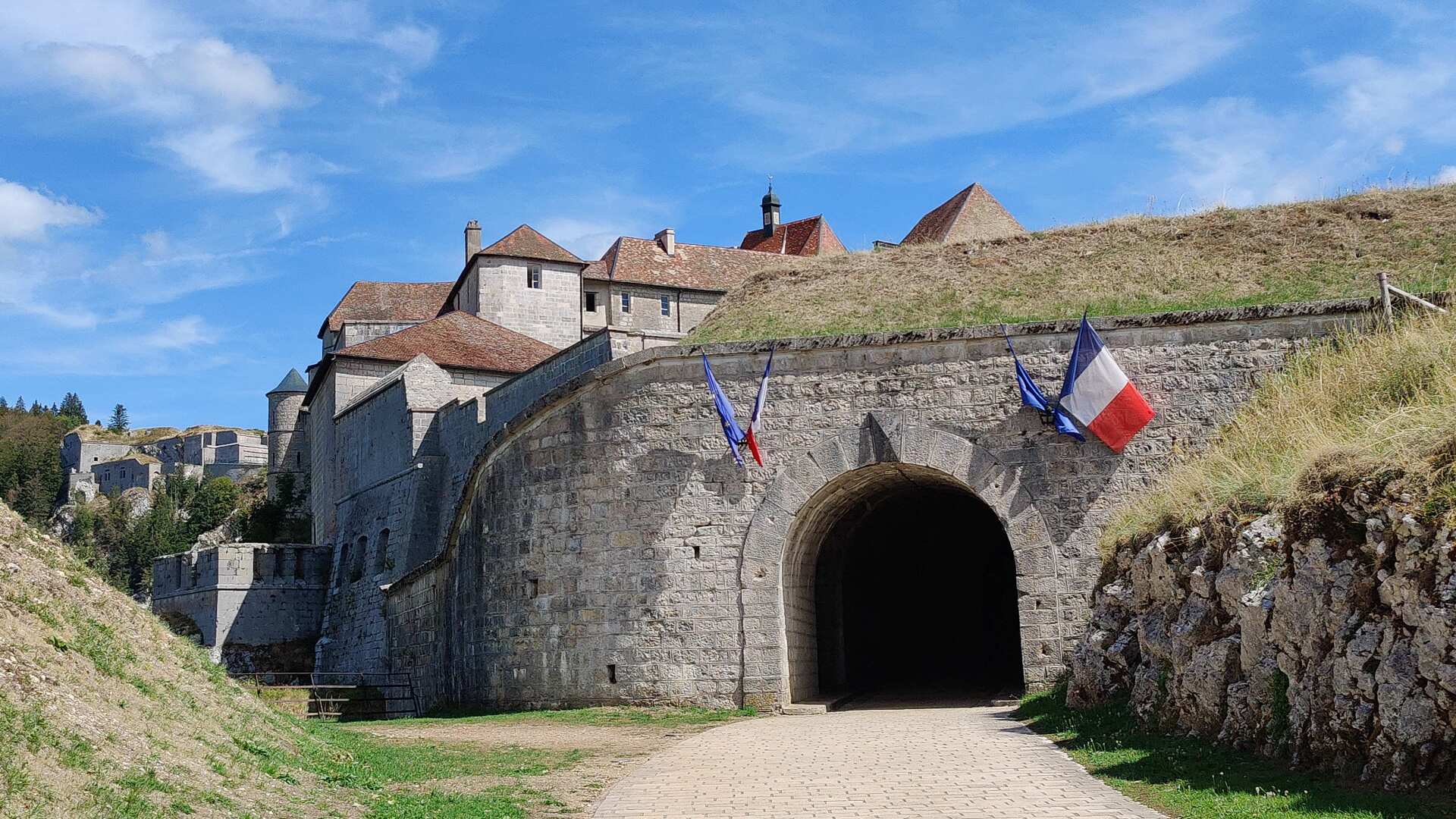
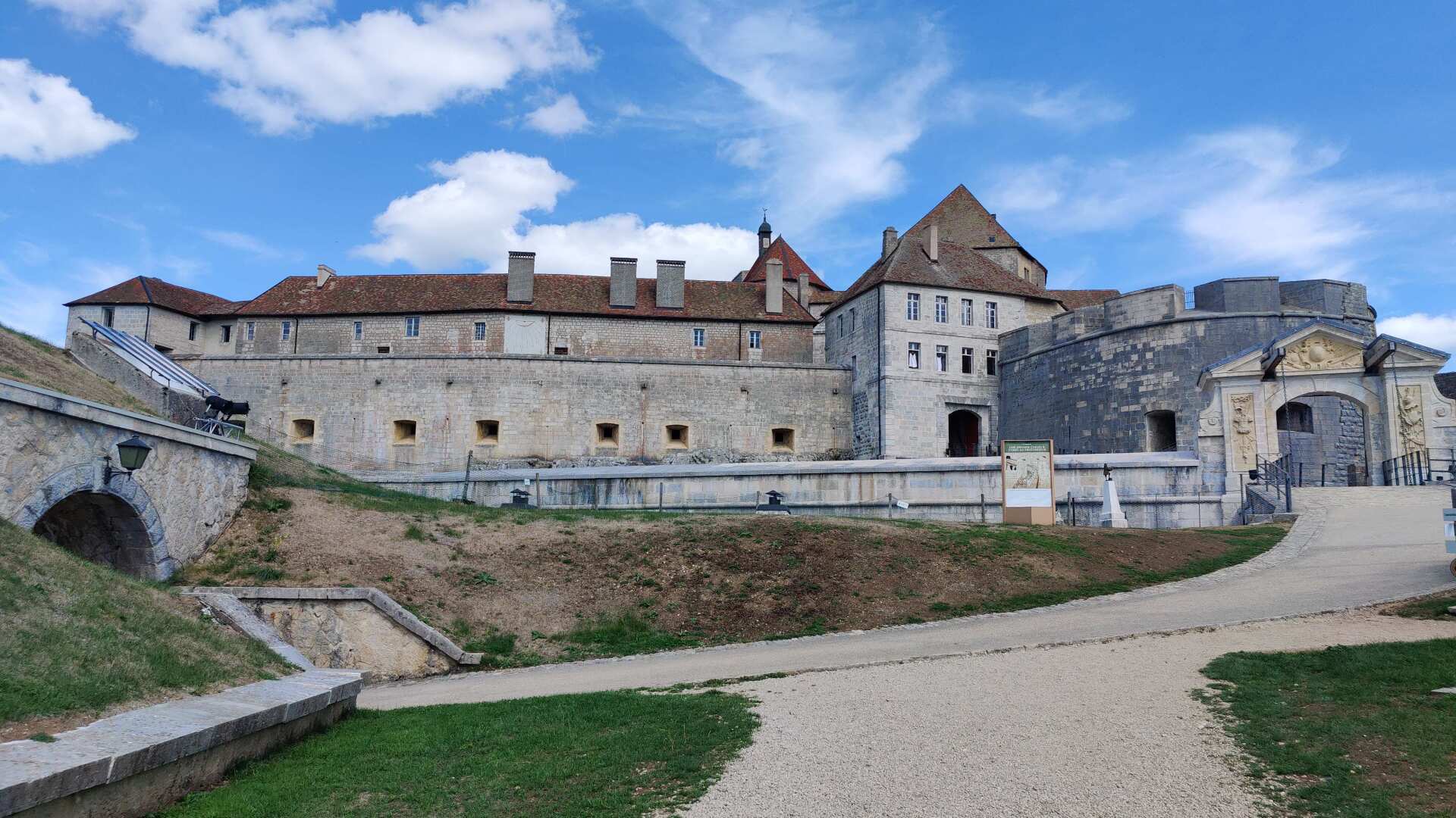
In a somber mood, I stroll through the fortress. These are indeed very impressive walls, and the complex is immensely large. But my thoughts are focused on my overnight accommodation. I can already imagine myself spending the night outdoors, in a medieval style.
At the very top of the castle, a huge, deep well is reached. According to the arrow, the tour should lead down the stairs. However, I’m not sure if that’s the case. With each “level” I go down, I see even more floors extending into the depths.
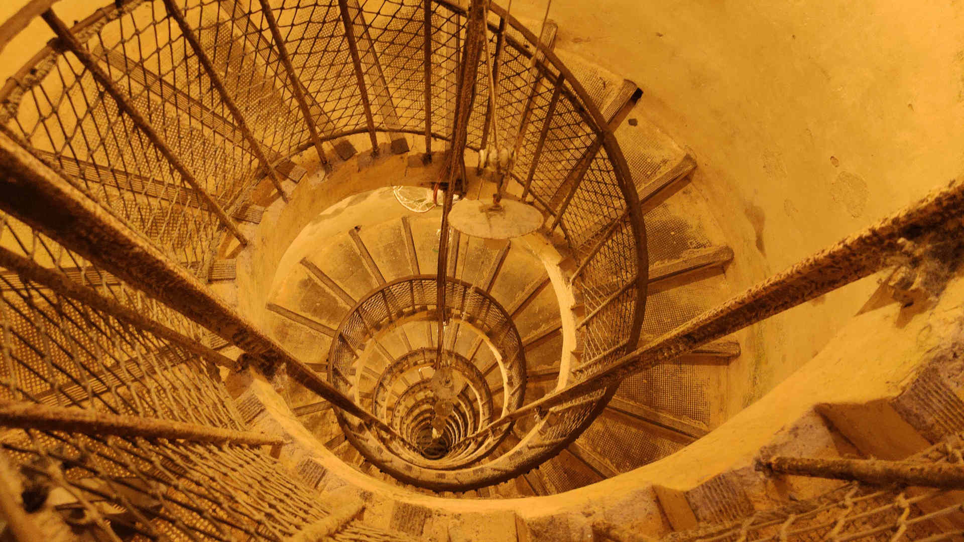
I turn around and retrace my steps, going back the way I came. The place is definitely worth a visit, but I simply don’t have the time. I can’t find a single available room online. Either everything is booked up, or the number I have doesn’t work anymore.
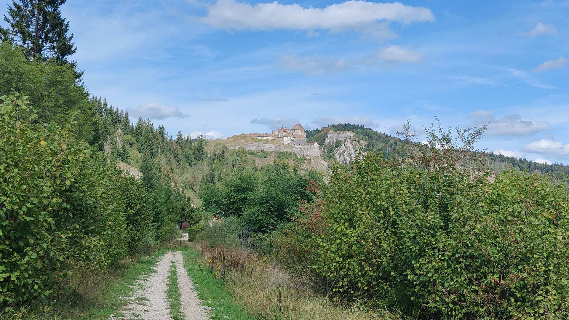
With very mixed feelings, I continue on my way. Just under two hours today are enough to make me question the entire project. I remember a night about 40 years ago in Spain when I couldn’t find a hotel. It was a miserably long night; I slept somewhere outside, behind some bushes. In the distance, dogs were howling, I was hungry, and the night was cold and long.
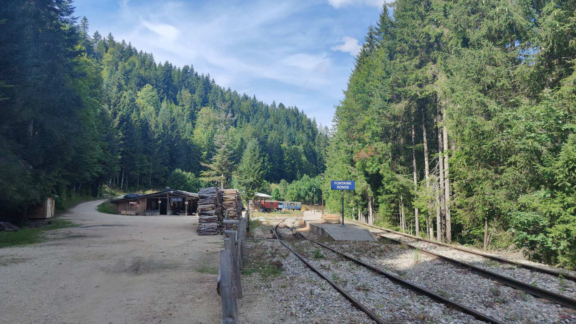
As I walk along the path, lost in thought, I come across an old railway track. Sometimes, one or two wagons are left standing there. Later, I arrive at the empty Fontaine Ronde station. I later find information online that this was the former line between Pontarlier and Vallorbe. A section of it is operated by a heritage railway on select days during the summer. But today, there is no one there.
On the map, I see that there should be a hotel called Etoile des Neiges in the nearby town of Métabief. But no one answers the phone there either. Shortly after four o’clock, I arrive. The door is open, and a sign at the reception says that check-in is possible from 5:30 PM, so the day, or at least the night, seems to be saved.
Waiting in the empty hotel lobby is boring. That gives me the idea that I could still walk the remaining four kilometers to the ‘booked’ accommodation today and then take the bus or a taxi back, so tomorrow it would ‘only’ be 25 kilometers instead of 29.
So I continue on my way. In Longevilles Hautes, a woman stops me and asks if I’m looking for something. I say yes, that I’m looking for a hotel room. She replies that it might be difficult, and that I’d probably have better luck in Métabief. She also says that she has to go back there anyway, and asks if I’d like to come along.
Of course, I won’t say no. On the way, I ask if there might be a bus. A bus? No, nothing goes through here – and the Etoile des neiges is also the only hotel for miles around. The room isn’t cheap. The alternative of spending the night outside would be the even worse option.
During dinner, I meet a group of e-bikers from Switzerland, and I don’t hear much French spoken among the guests.
Day 14: No taxi, but a ski jump instead
Before I continued on my way yesterday, I took a picture of a taxi sign. However, no one answers when I call either of the numbers on it. I ask the hotel owner to call a taxi. He says it will be difficult.
He calls someone and asks; there are no taxis in Métabief. After a short (unsuccessful) attempt at hitchhiking, I bite the bullet and walk the four kilometers again.
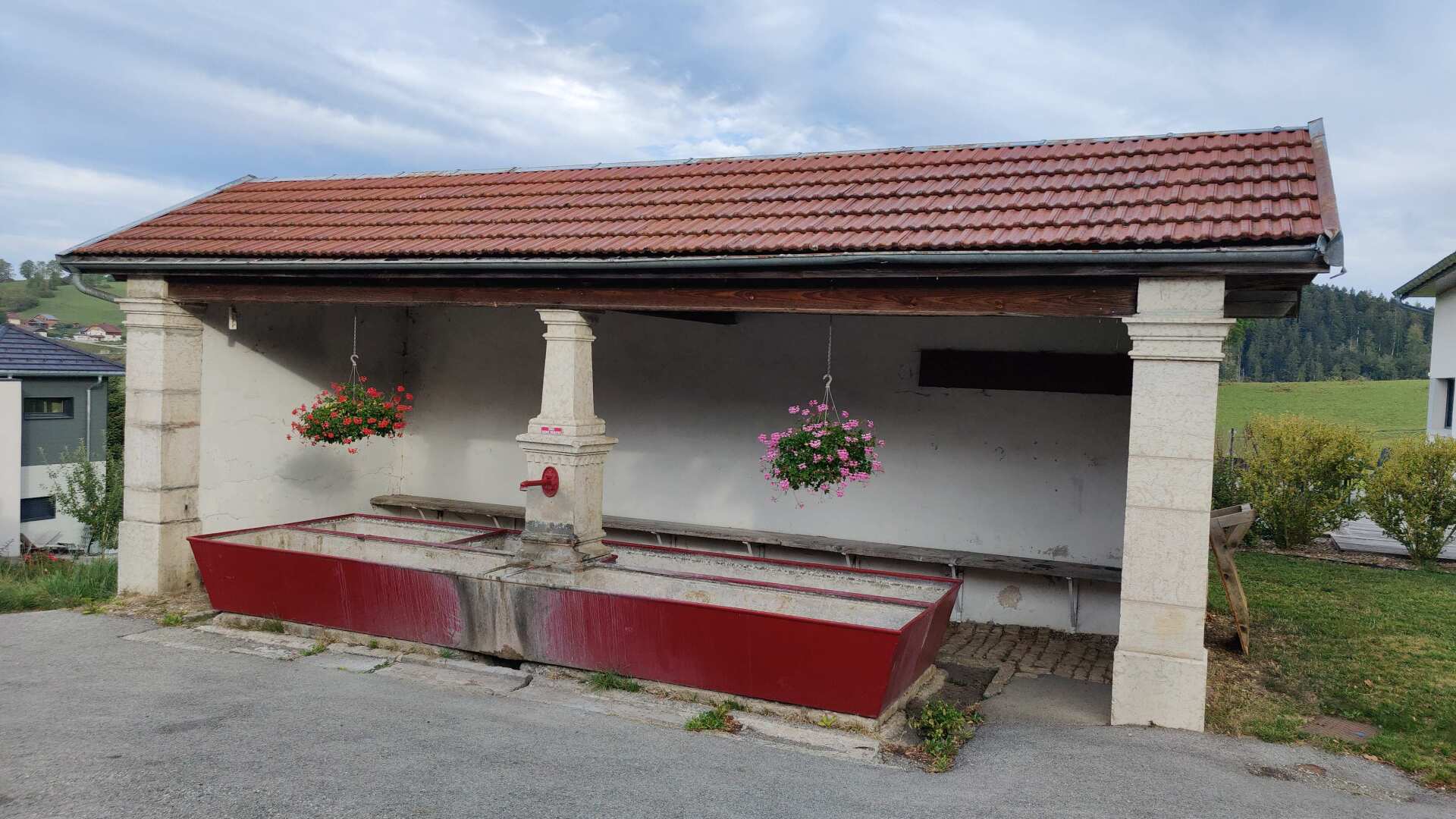
Along the way, there are some magnificent fountains, but they have no water. Everything seems a bit deserted. I arrive at the hotel where no one was available yesterday. It seems no one will be available today either, but at least there’s still a sign that says ‘Hotel’.
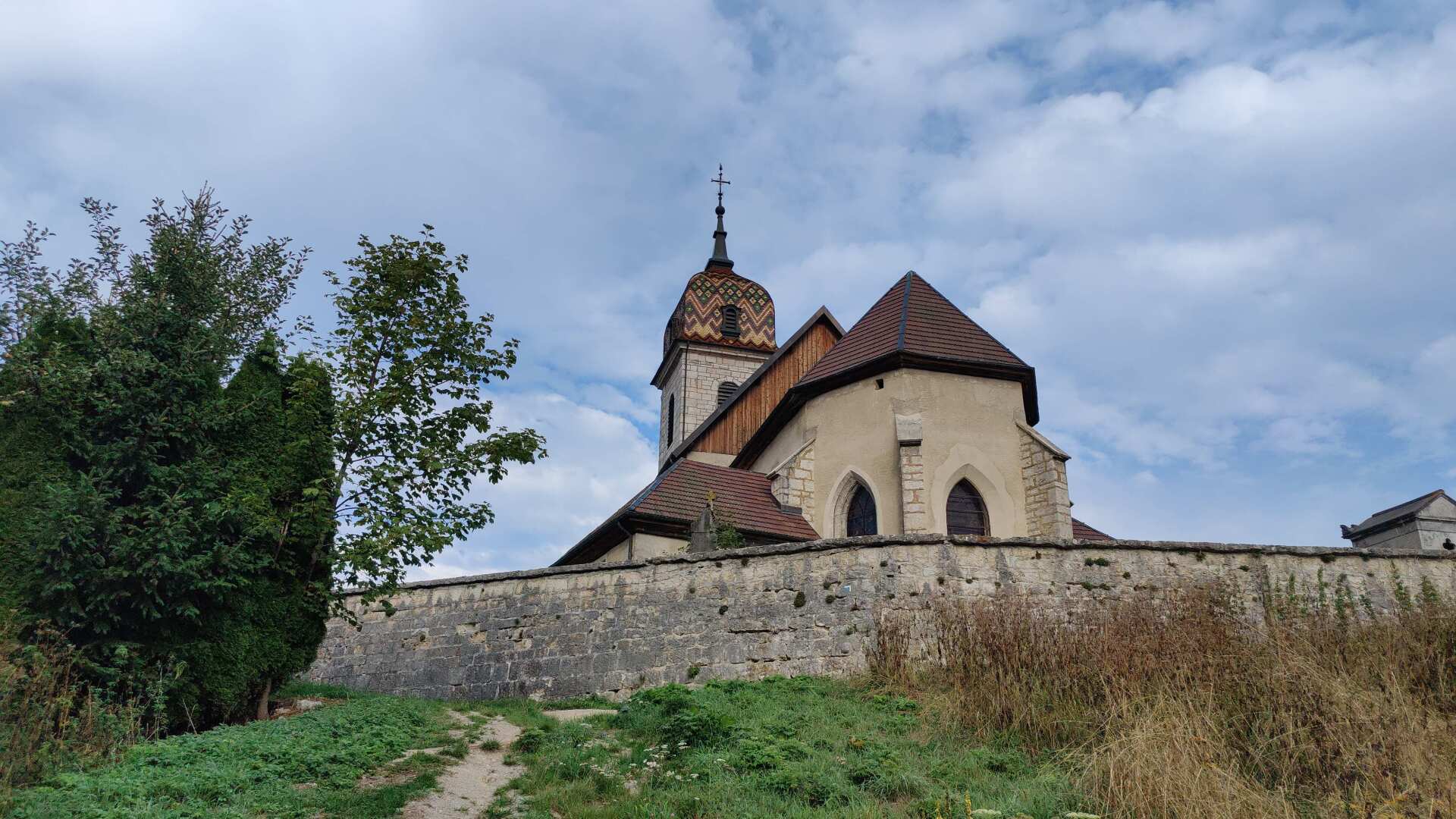
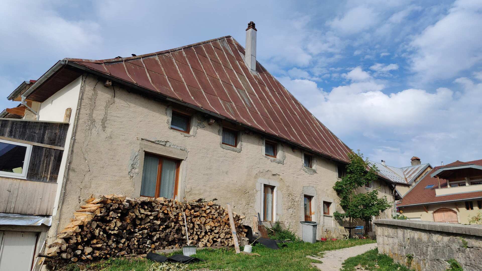
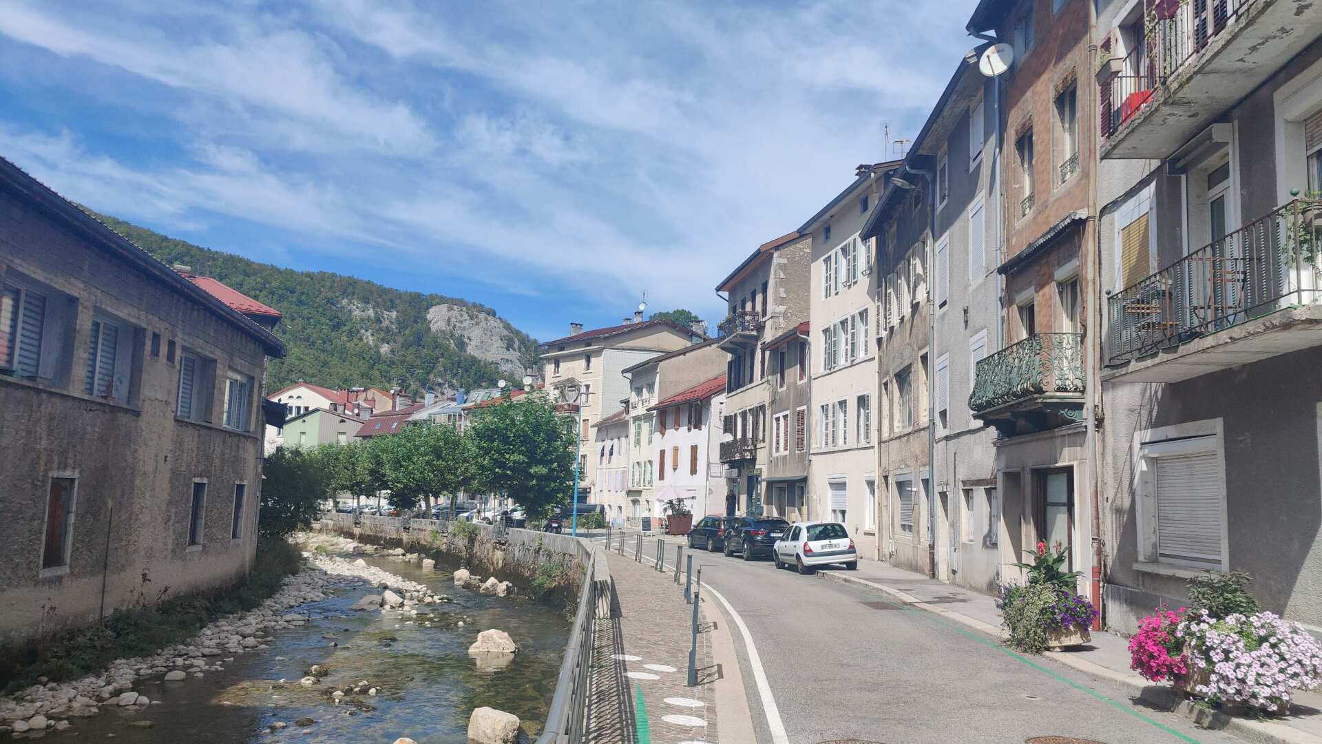
The town of Rochejean boasts magnificent old buildings. However, there doesn’t seem to be a hotel here, and unfortunately, I can’t find a shop either. Lunch will be rather meager. Rice cakes, either with white or dark chocolate.
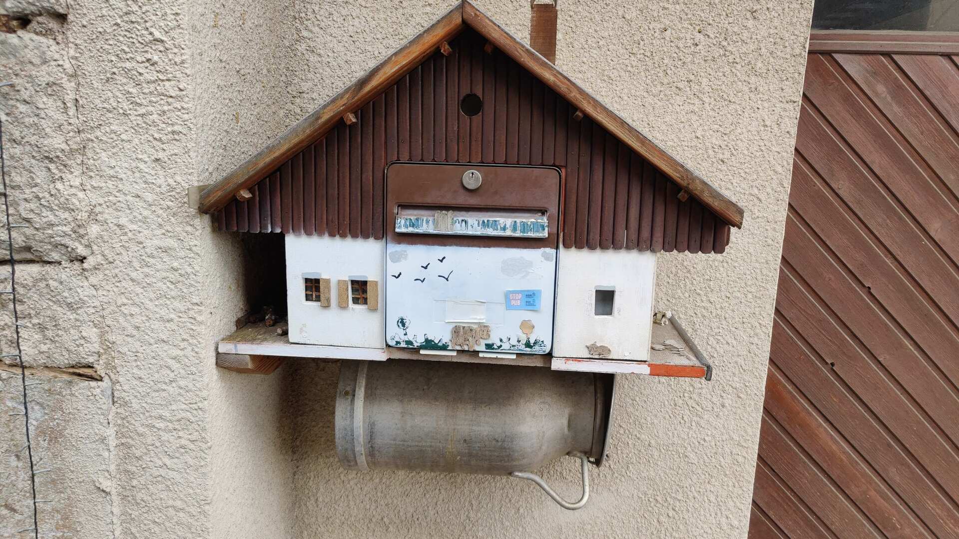
I walk past a lovingly handcrafted mailbox. Whether the milk box is hidden on the ‘ground floor’ or attached underneath in a milk can would have to be tested. But as a (stranger) passing by, it wouldn’t be appropriate to investigate.
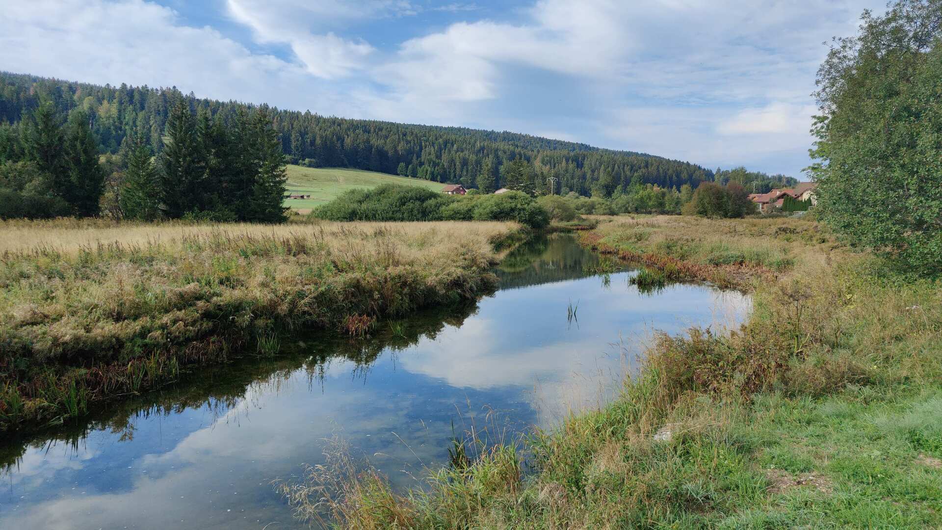
I come across a now rather small river, it is still the Doubs. Unfortunately, there is no hiking trail along the picturesque waterway. My path leads to the left, into the hills.
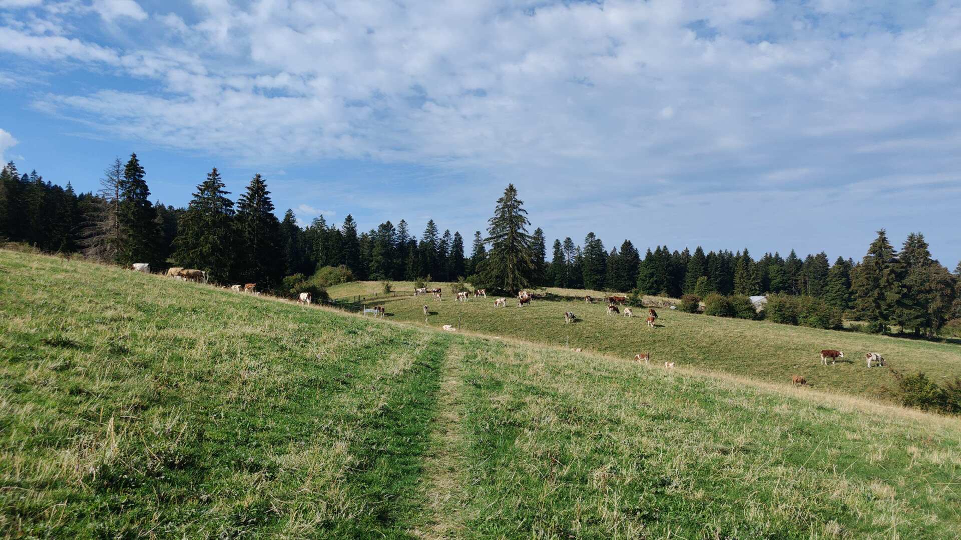
It’s a steep climb. There are few views of the valleys, but many grazing cows. The tinkling of the bells should be the only source of noise for a long time. Anyone who hikes here in the Jura will truly find pure peace and quiet.
However, the ascent is not fruitful; we descend back into the valley. Down below, I encounter several cars. A large number of day-trippers are waiting, presumably to explore the source of the Doubs.
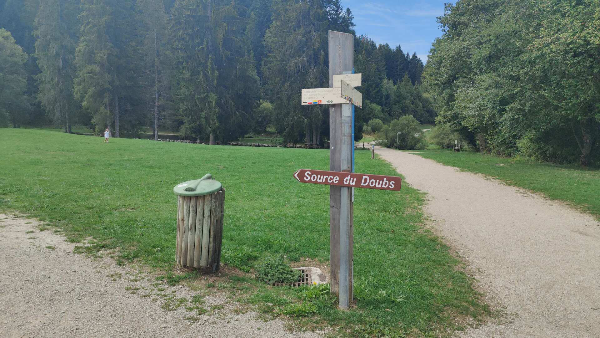
The sign points to the left, and I have to go right. I miss the spring. After the four extra kilometers I walked this morning, I don’t have the energy for any more detours. So I miss the impressive karst spring. It’s somewhat unforgivable, but it reflects my current state.
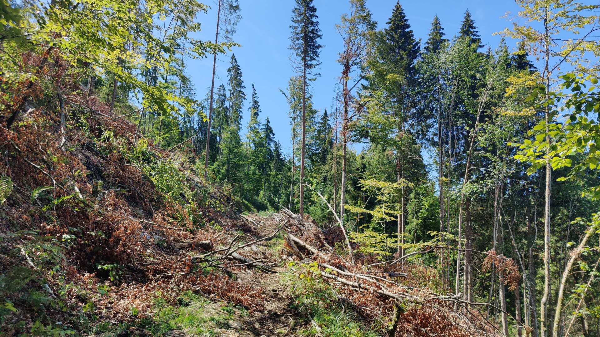
I am slowly making my way through the very hilly forests. Often, I have to climb over tree trunks and branches. I arrive at the impressive ski jump near Chaux-Neuve.
A few teenagers are playing soccer down on the runway. I find a long water hose. The source, the water tap, is soon located. However, I can’t detach the hose, and the water coming out of the end is very gray.
I ask a man for drinking water. He directs me to the caretaker, who fills my bottle with crystal-clear, cool water. Now I can tackle the climb.
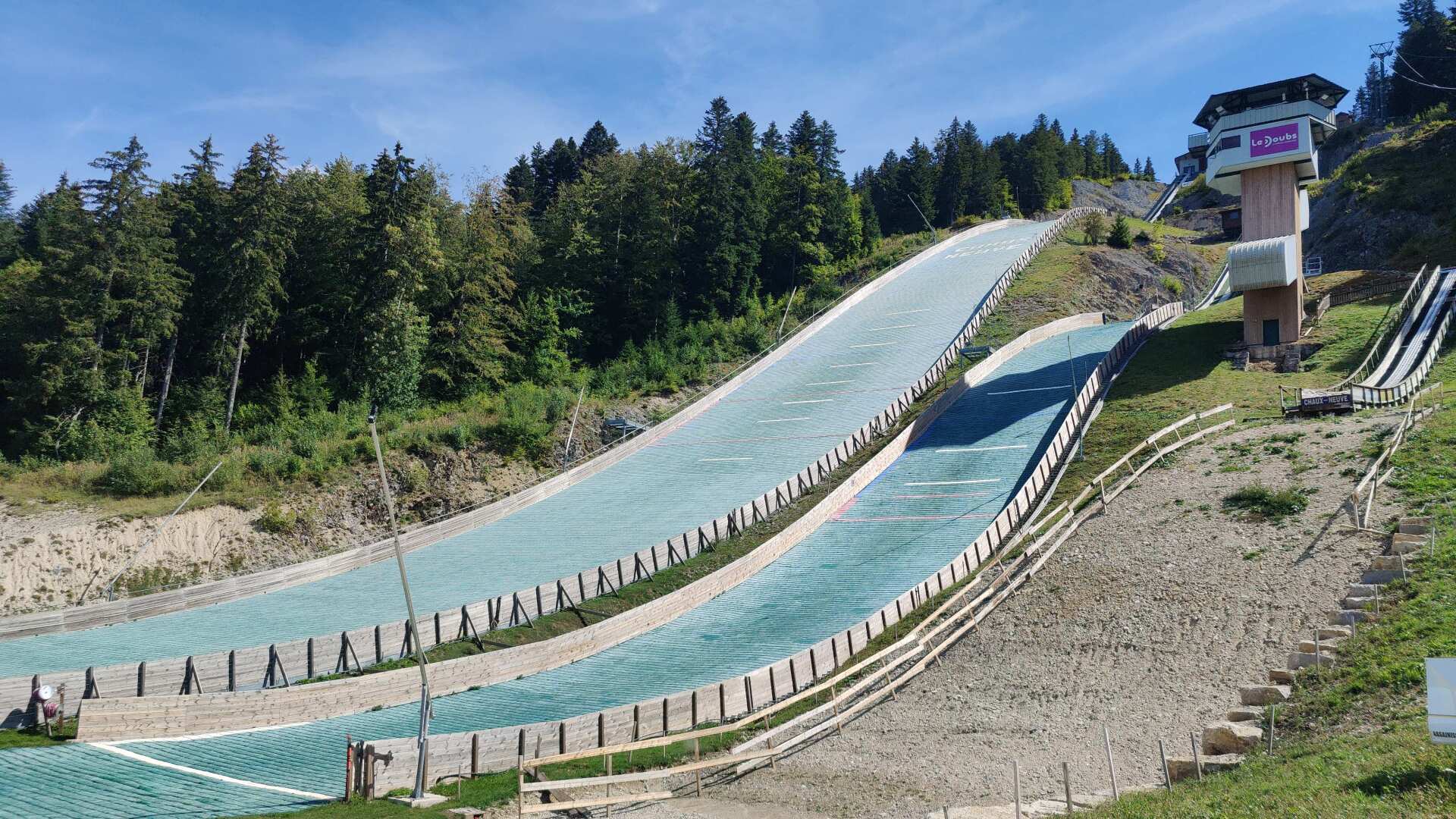
There are hundreds of steps leading up. The sun is blazing, and by the time I reach the top, my water bottle is almost empty. If I had my skis on, I could be down in seconds.
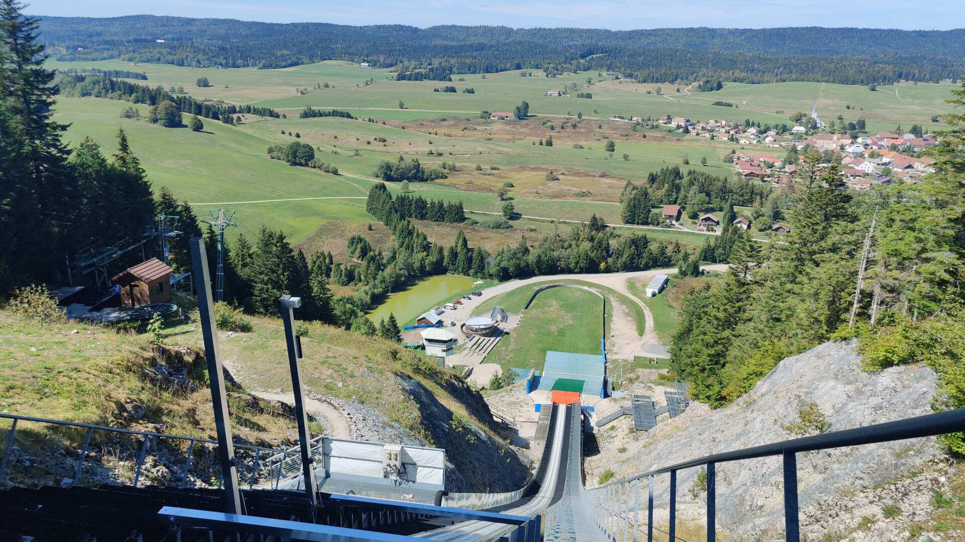
But aside from the fact that I would be on skis, I wouldn’t have the slightest bit of courage to do it, and I think that’s probably for the best. The Côte Feuillée facility is one of the largest ski jumps in the world. According to tremplins-chauxneuve.fr, anyone can try the jump (for 120 euros) in winter or summer, although ‘only’ on the ski jumping simulator.
Up above, the path to happiness runs relatively smoothly through the vast landscape. However, the last few kilometers to my accommodation seem to drag on. I spend the night in a kind of circus wagon on a husky farm. I ask for drinks and food. When it comes to ‘beverages,’ they have homemade syrup or local beer in impressive bottles.
I’ll go with the syrup. Food should be brought along. The hostess eventually brings me a large piece of cheese and half a pack of pasta. There was a kitchenette in the main building, about 100 meters away. But I’m so tired that I just eat cheese and (again) rice cakes.
Day 15: Cliff faces and beggars
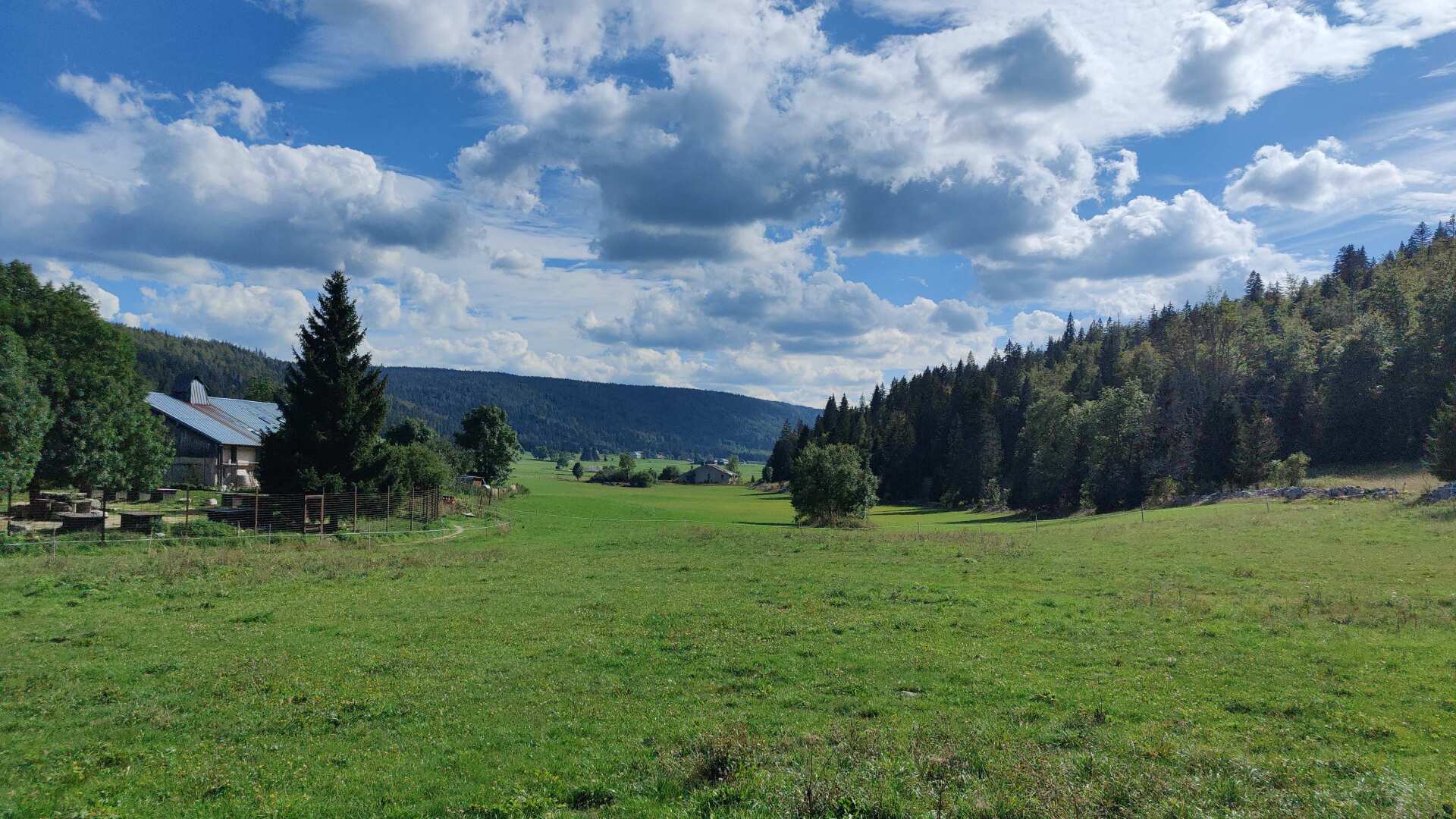
I slept well (and for a long time). My path led me across the meadow, but this time I prefer the road. The surface is definitely harder there, but it is dry. Because in the meadow it would be very wet in the morning, and I can gladly do without that. Moreover, there is almost no traffic on the country road.
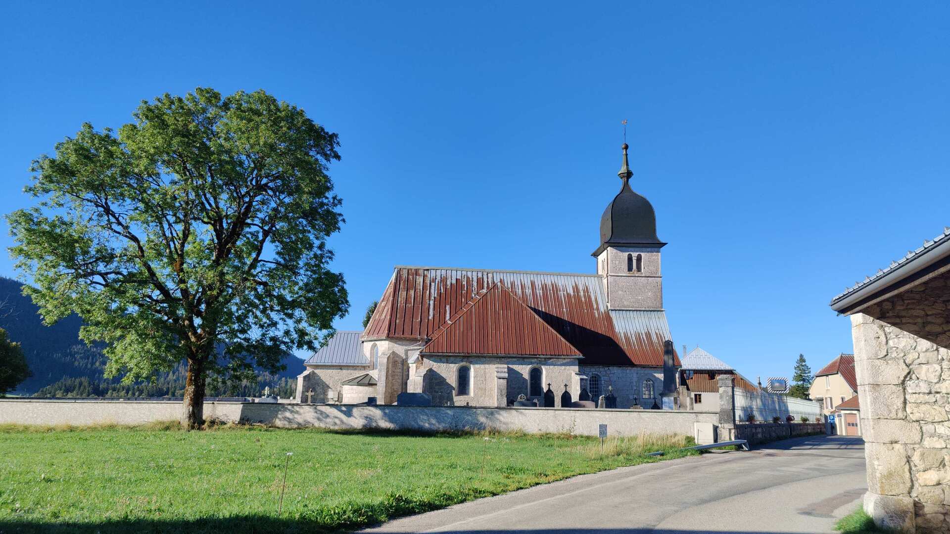
In the village of Chatelle-des-Bois, everything seems to be closed. There is supposedly a restaurant and a cheese shop. I didn’t see the small grocery store. In the end, I didn’t really look for it, because I knew that there were two large shops about 10 kilometers away.
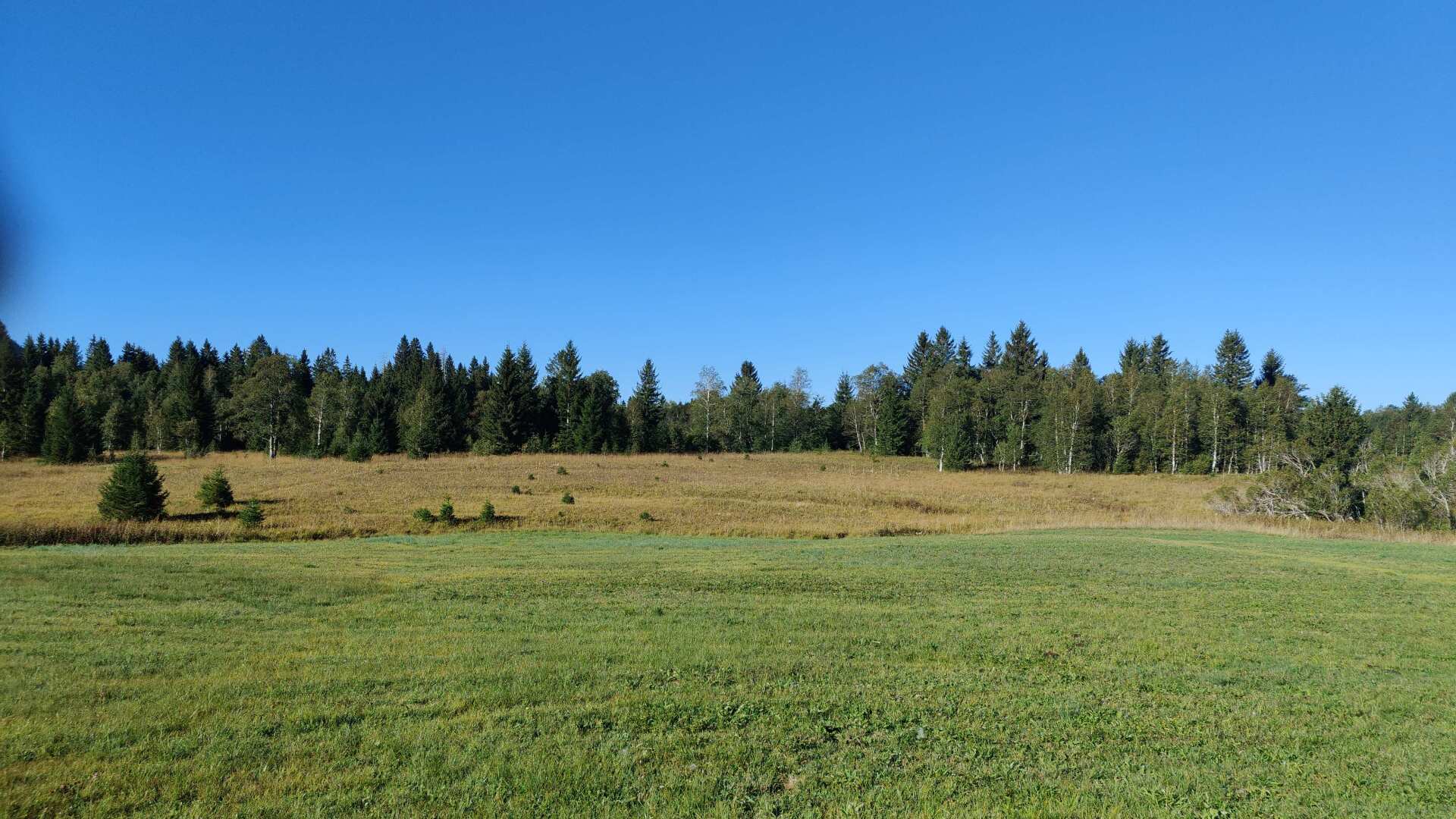
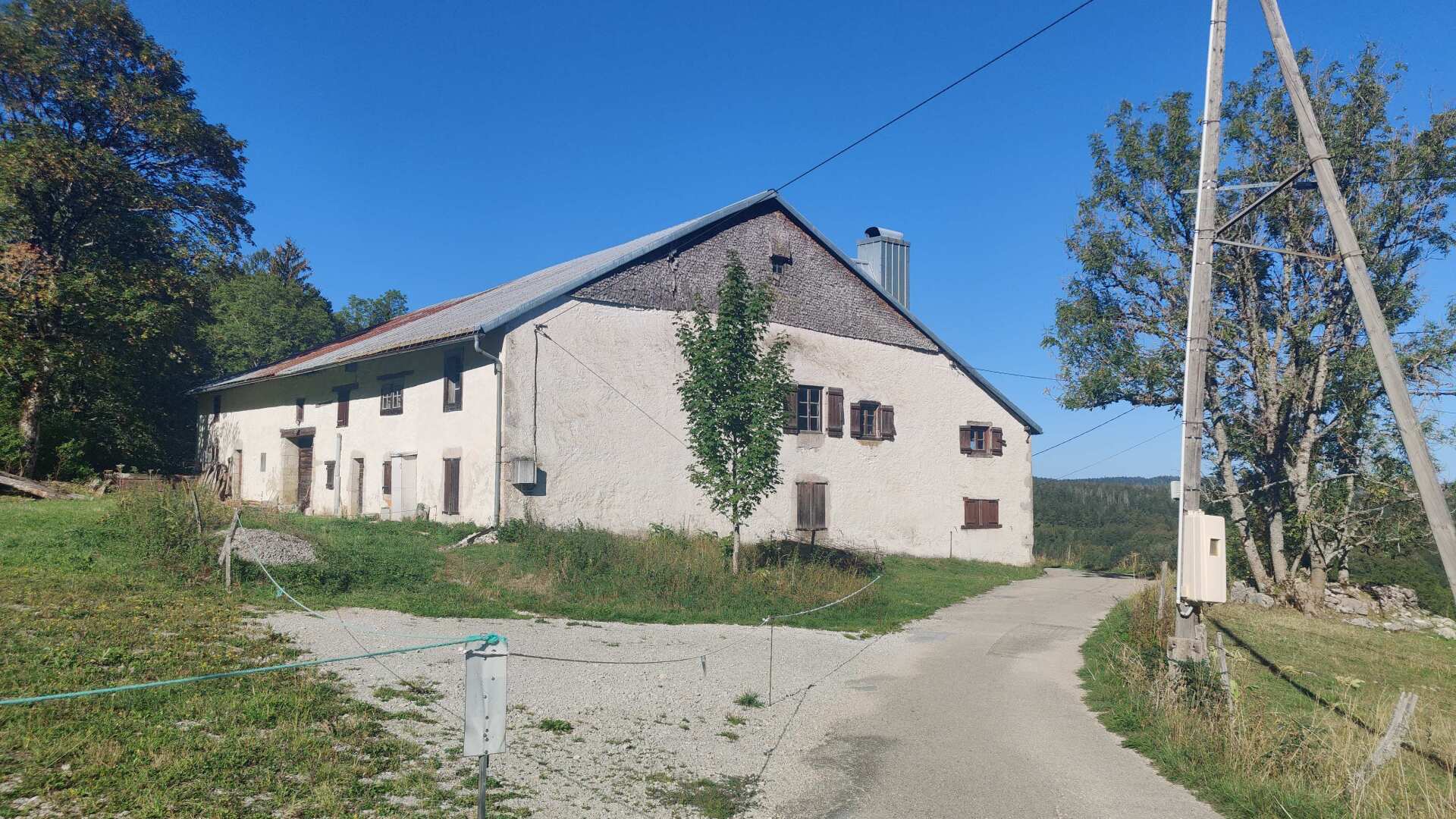
It leads through a high moor. Later, I briefly search for the path. These are rarely traveled paths, but all the houses are of impressive stature.
Later, my path leads me past small lakes. A car ‘rattles’ past me on the gravel road. The driver rolls down the window and asks if it’s possible to get through. I check my map and suggest that turning back would be better. The car drives on, but a quarter of an hour later it returns, driving slowly. Getting ahead on two legs is much easier in this case.
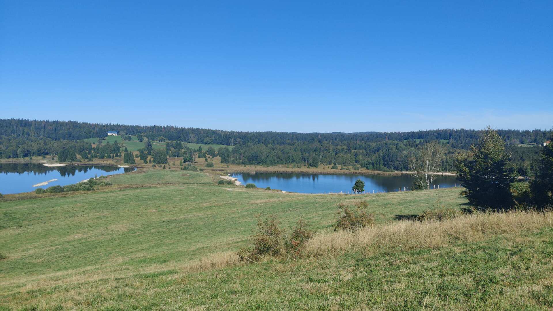
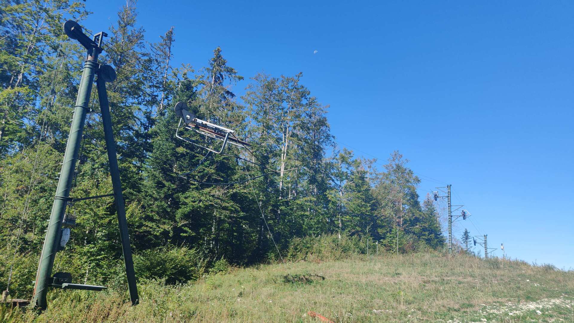
A farmer is mowing a meadow with little grass. The dry summer is leaving its mark. Later, we pass by abandoned ski lifts. The facilities don’t give the impression that skiing is still done here, although I’m not saying that this is actually the case.
I slowly start to feel a rumble in my stomach, and in my thoughts, I’m already at the two supermarkets. Meanwhile, I’m wandering around aimlessly. The path leads back through mud and a rough descent. Just before Morez, the path leads directly into a rocky area.
The decision to turn back comes quickly; there’s no safe way through for me. The detour of about 2 kilometers is still quite steep, but at least it’s a path. I’m tired and need to watch out so I don’t fall.
Having arrived downstairs, I’m covered in sweat. I treat myself to a large portion of falafel at a small snack bar (which seems to be the only open restaurant). I’m the only customer.
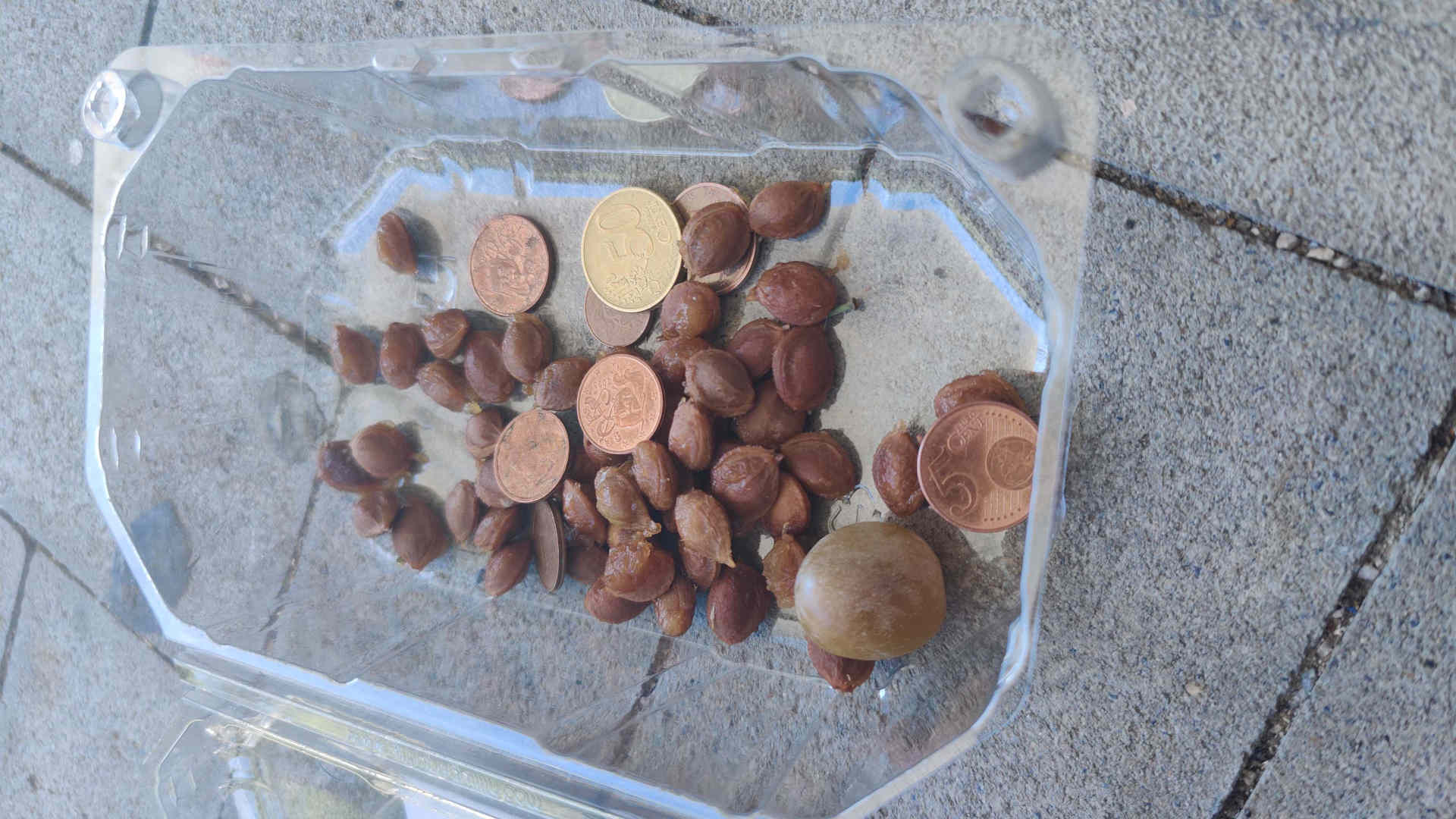
Feeling refreshed, I tackle the short walk to the supermarkets. The selection here is impeccable, but somehow it also overwhelms me. So I only buy a package of mirabelle plums, which I immediately devour in front of the store. In a rather uncouth manner, I spit the pits into the plastic container of the fruit.
Cars keep driving by. Mostly older people come to shop. A man with a cane throws a few coins into my trash can, probably thinking I’m begging. Well, the cherry pits could also pass for 1-cent coins, but I’m still a bit shocked. Do I look that worn out, like a beggar? I guess so.
There are still eight kilometers to go until the destination, Prémanon. First, the road winds upwards in long curves. The asphalt is scorching hot, and I take refuge in the shade of a house twice. Later, the climb becomes steep and rough. It’s only 400 meters of elevation gain, but I’m still glad to be at the top and reach the destination.
Prémanon doesn’t exactly exude exceptional elegance, if I may say so. There are a few older buildings, and surrounding them are many rather large holiday resorts.
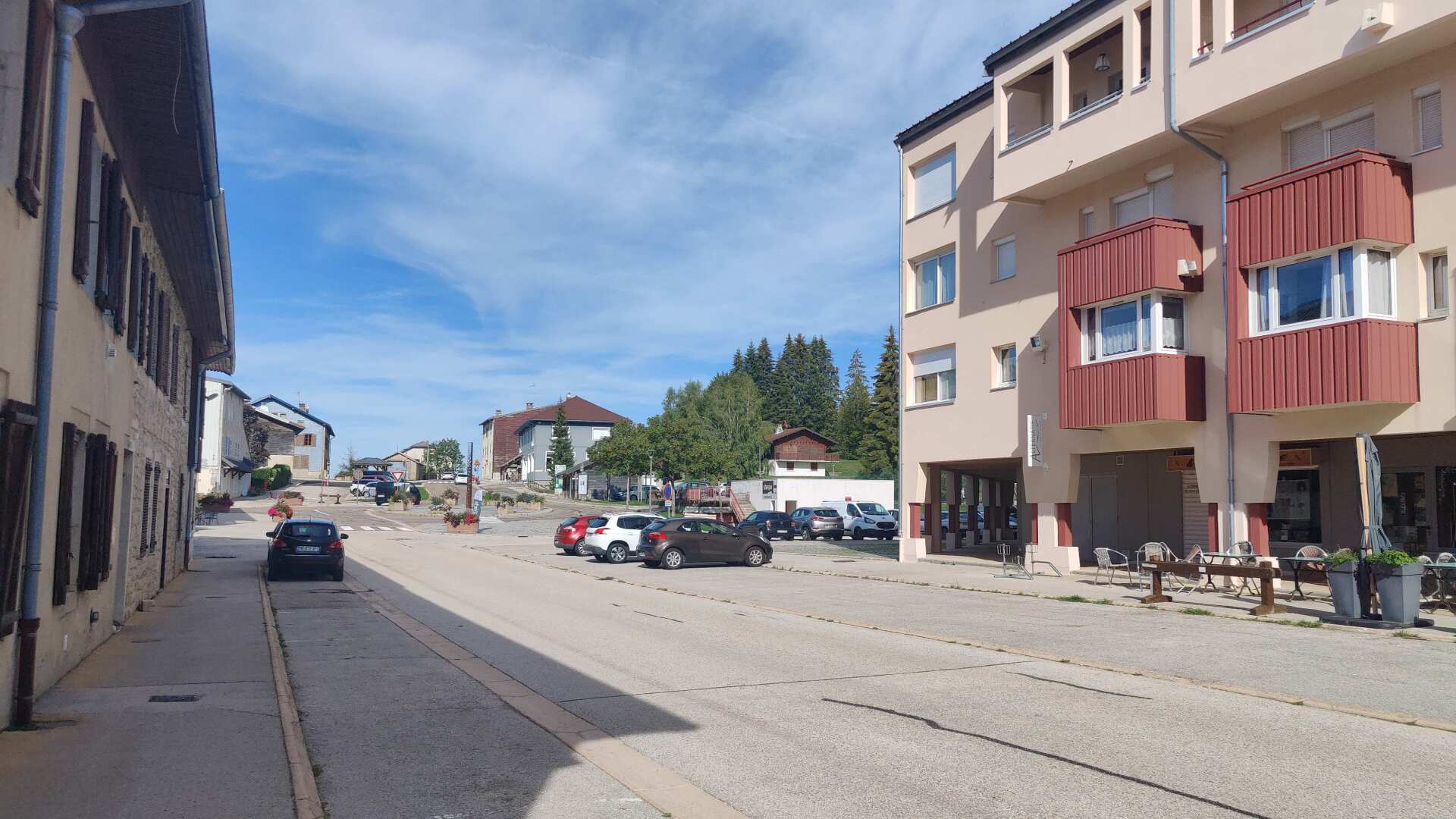
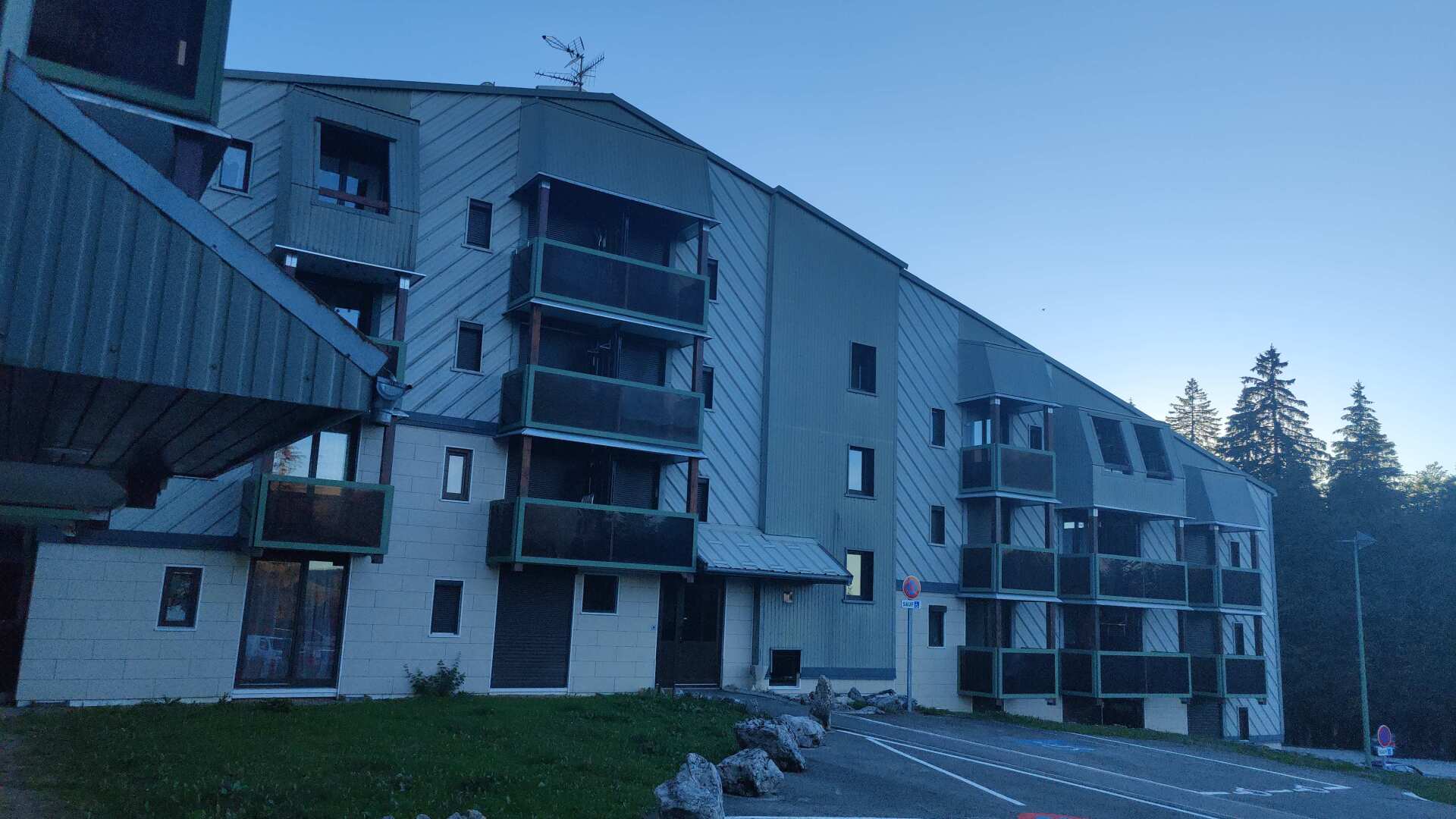
Finding the keys for the holiday apartment proved difficult. Without a detailed video, we wouldn’t have been allowed in. The complex is huge, so it feels quite anonymous.
The apartment itself is secured with a heavy lock. Nevertheless, I slept well and peacefully, as there was no one else there.
Day 16: Lonely landscape, scorching temperatures
It was hot yesterday afternoon, and it will probably be the same today. On my right, I pass the Musée des mondes polaires. It is dedicated to Paul-Émile Victor and offers an immersion into the life of the famous French polar explorer. The building seems a bit oversized, and of course, everything is closed at this time.
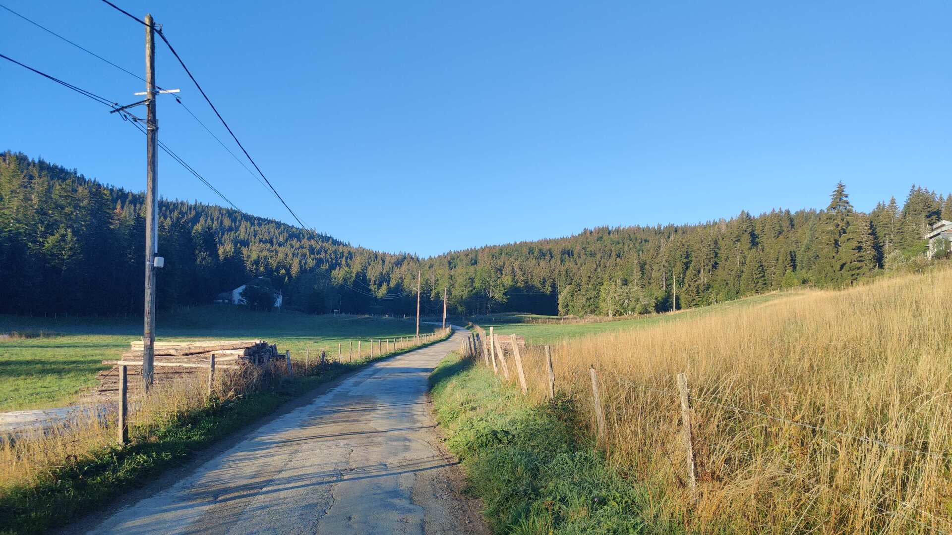
Soon I will be back in nature. First on a country road, and later I will hike across vast alpine meadows. In between, I will hear the roar of some chainsaws.
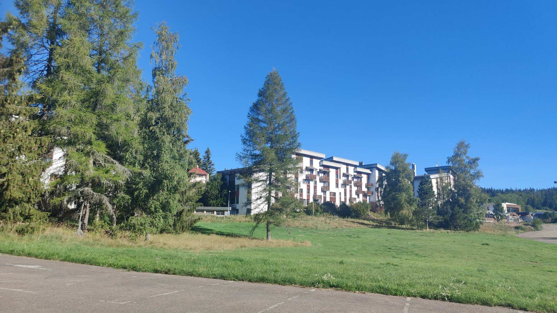
After about 10 kilometers, the isolation comes to an abrupt end. Large holiday resorts appear again. The parking lot in front of them is no less small. But it seems as if no one is here either. There’s no restaurant, no store, only a veterinary practice. A few hundred meters behind it, there is a pharmacy, just on the side of the road.
And there is indeed life in the village of Lamoura, albeit mostly for medical purposes. I myself am not exempt from this. I buy another tube of arnica cream, which my feet gratefully appreciate. My stomach, on the other hand, remains without replenishment, and unfortunately, this will continue to be the case until I reach my destination in Lélex.
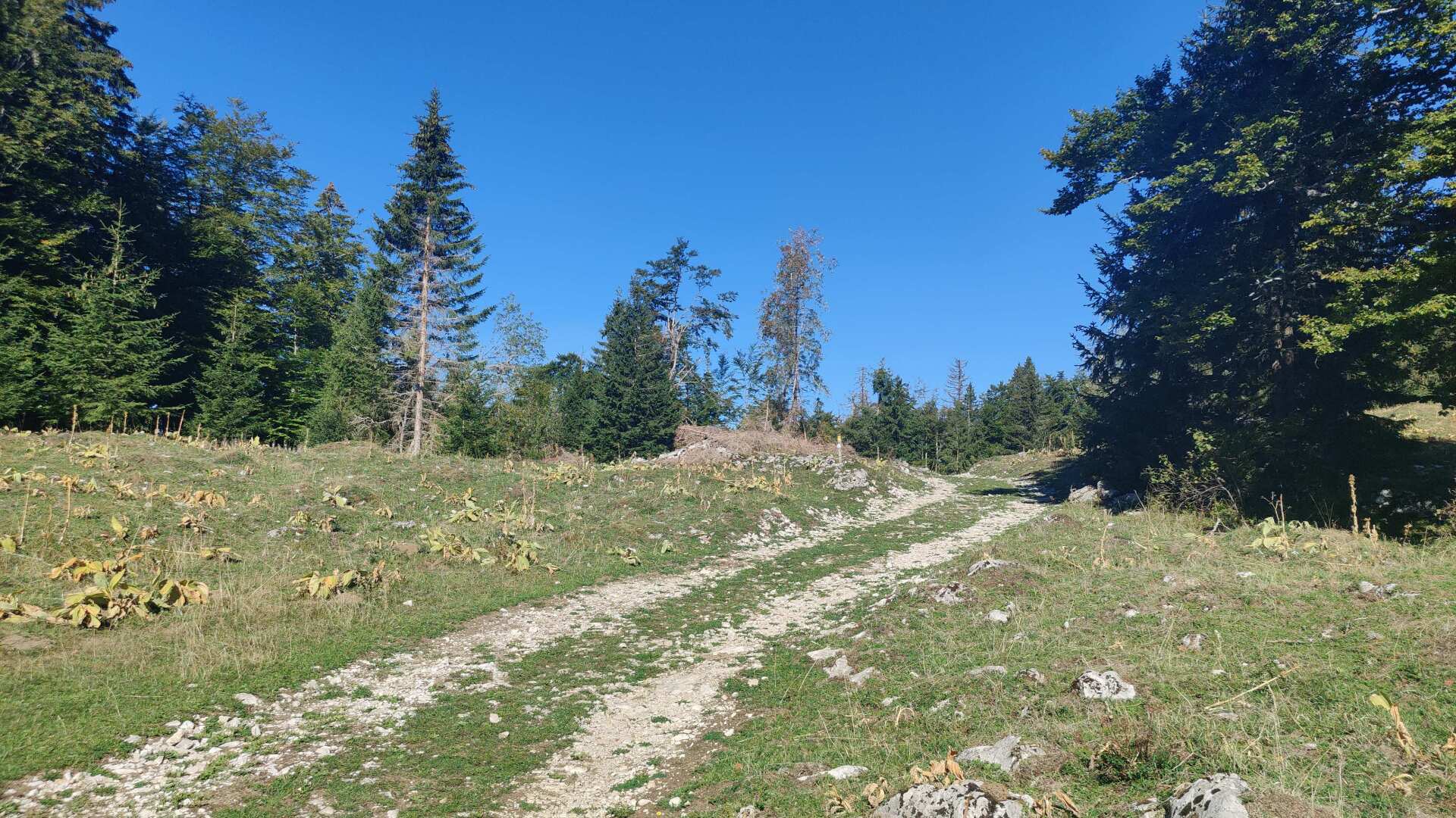
Once again, I pass by disused lift installations, the path leads upwards again, and finally I see it: the long-awaited first and highest range of the Jura mountains. Behind it lies Lake Geneva.
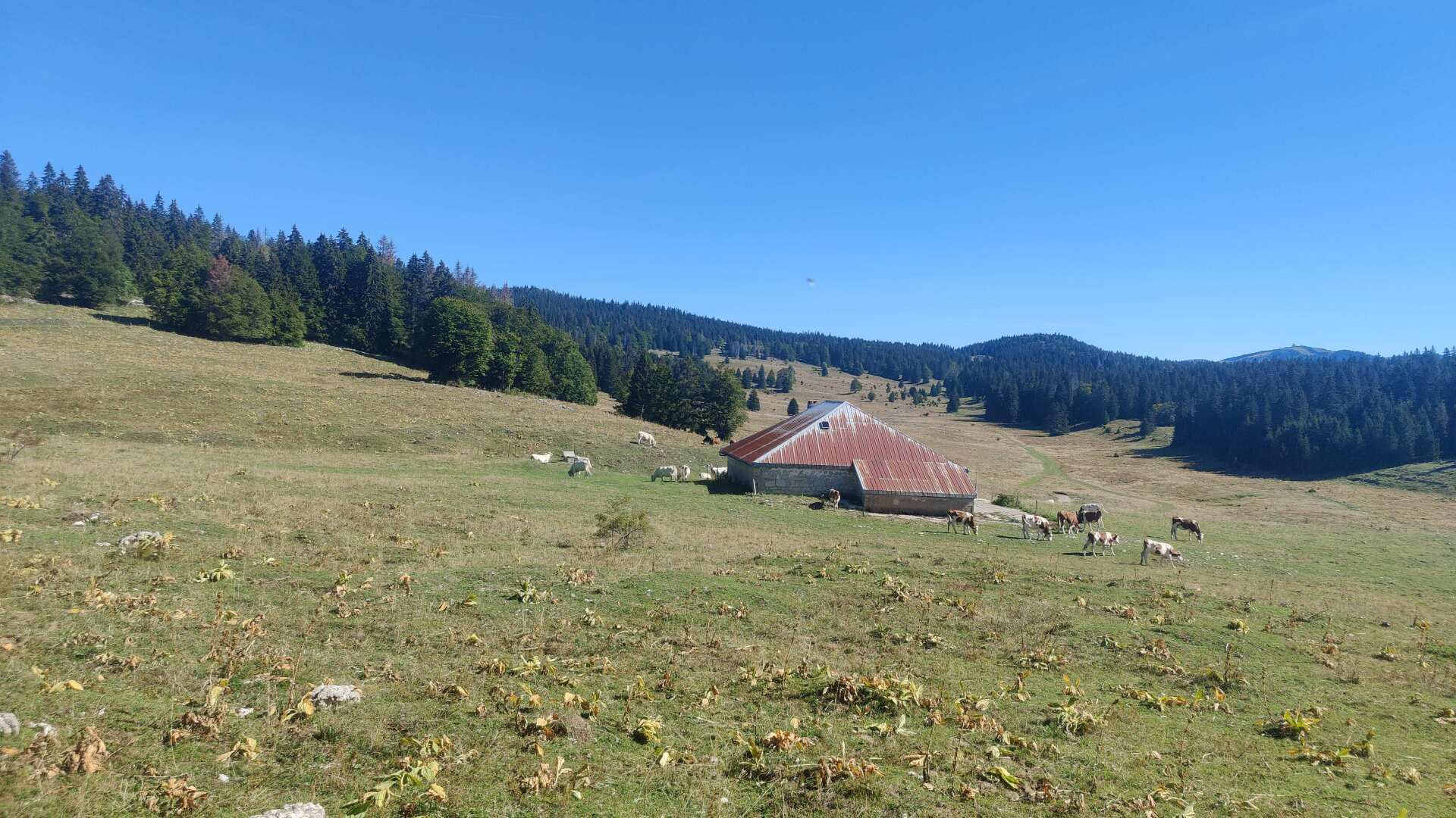
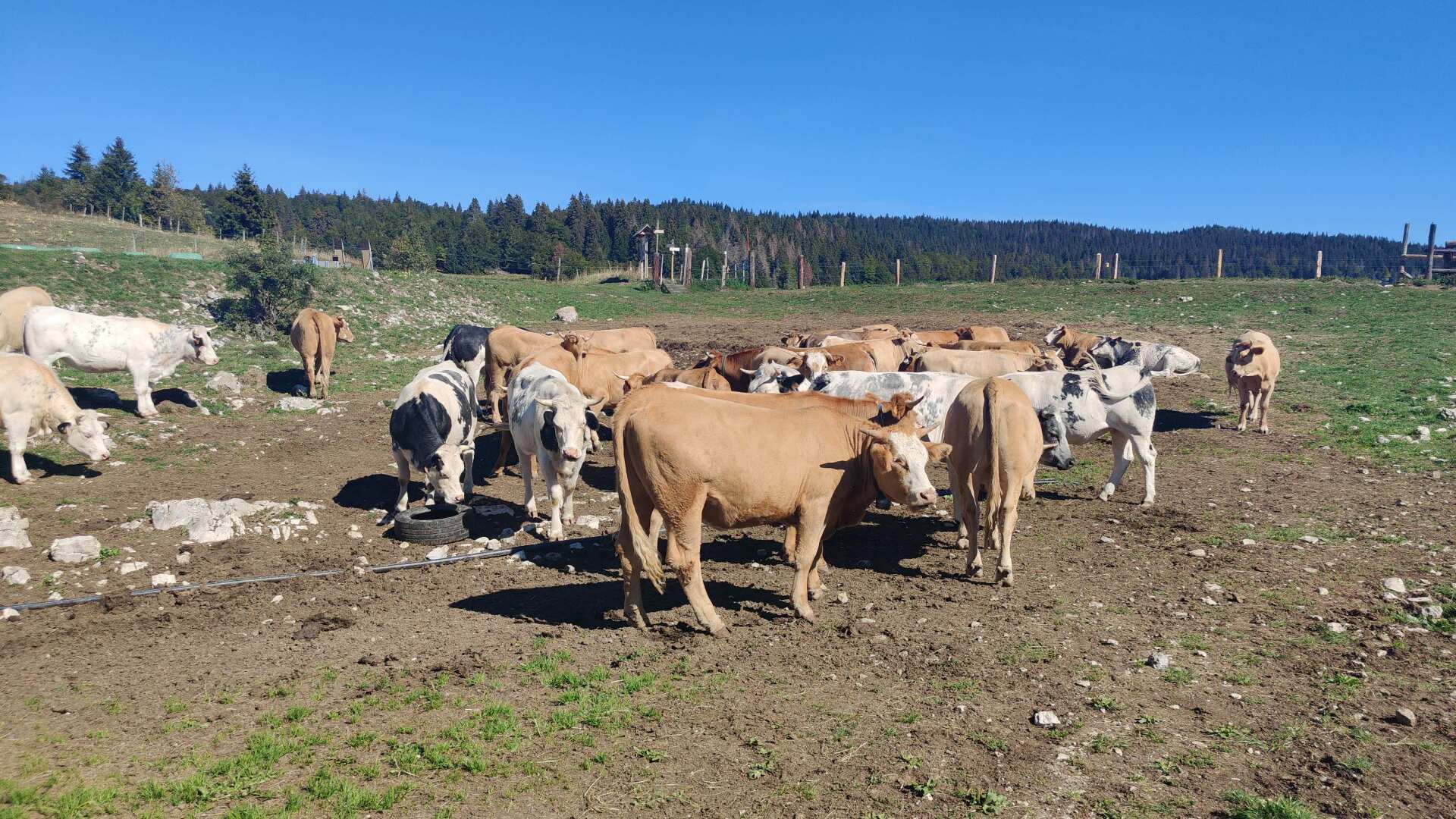
Of course, I don’t see the lake; instead, I have to walk right through the herd of cows. All the four-legged animals are gathered around a large watering hole. I am quite thirsty, but the murky, dirty water isn’t exactly inviting me to “stop for a drink.”
My path continues along the second Jurkette ridge, heading west. I cross a major road, and the path goes up and down along a gravel road. Sometimes in the blazing sun, but thankfully often in the shady forest.
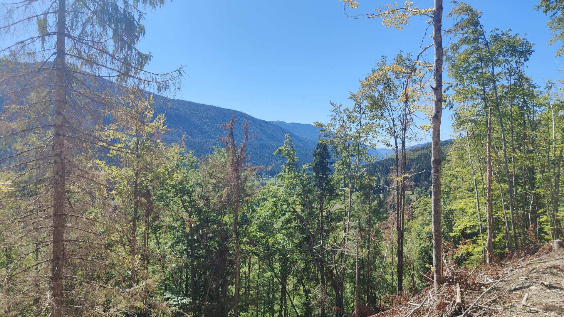
In the end, the path descends steeply towards Lélex. Furthermore, the water has been flowing westward for some time now, and I haven’t been able to pinpoint an exact watershed between the Rhine and the Rhône.
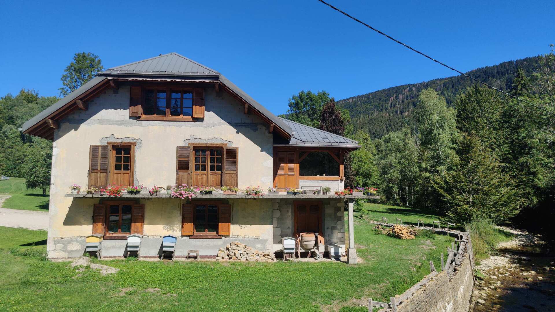
At the entrance to Lélex, I finally come across the first shop, a butcher’s. The selection of meat products is extensive, but when it comes to drinks, it’s either beer or nothing. At least the bottle isn’t small. My thirst is great, and so I then stagger along the last kilometer.
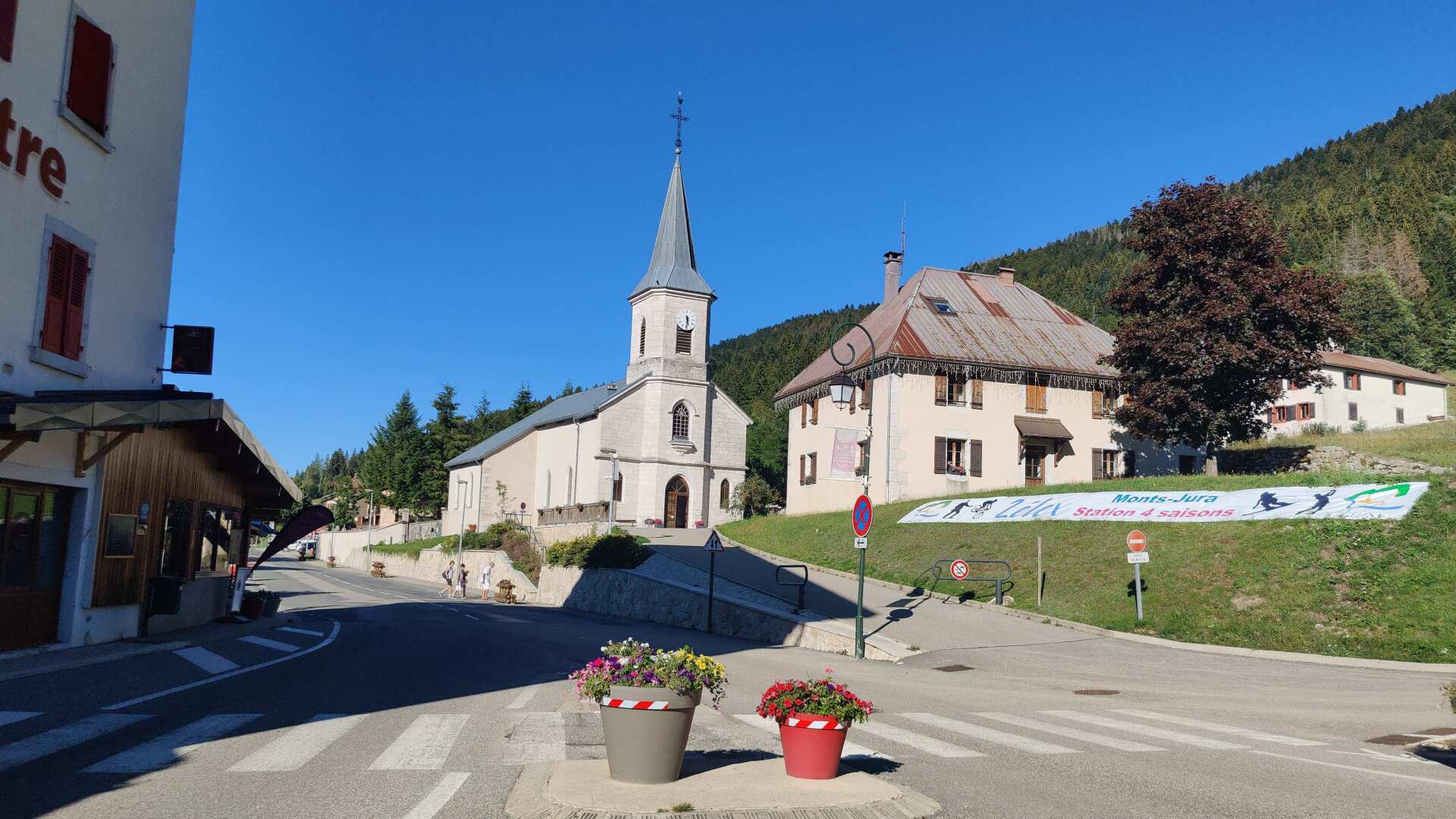
In the city center, I buy food and four liters of drinks. I need to stock up for today and also create a supply for tomorrow.
Day 17: Exhausted and without a view of Lake Geneva
In theory, I’m running downstream, so the path should be downhill. In reality, for the first 10 kilometers, the path follows the river and gains several hundred meters in altitude, and of course, loses even more.
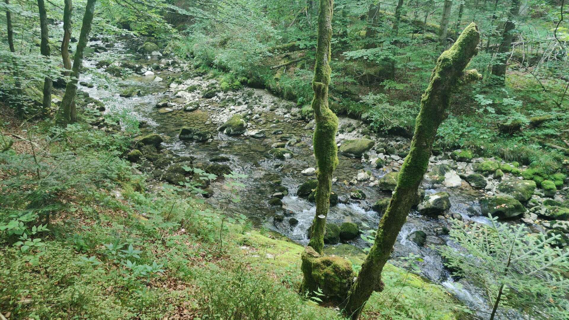
However, the scenery more than makes up for it. Accompanied by the tremendous roar of the stream, the trail leads through a very primeval forest. The ascents are rough, as are the descents.
I’m traveling completely alone, and after two hours, I hear a child crying in the distance, along with the voice of a clearly unhappy mother. What it was about, I can’t tell because the sound is lost in the rushing of the water.
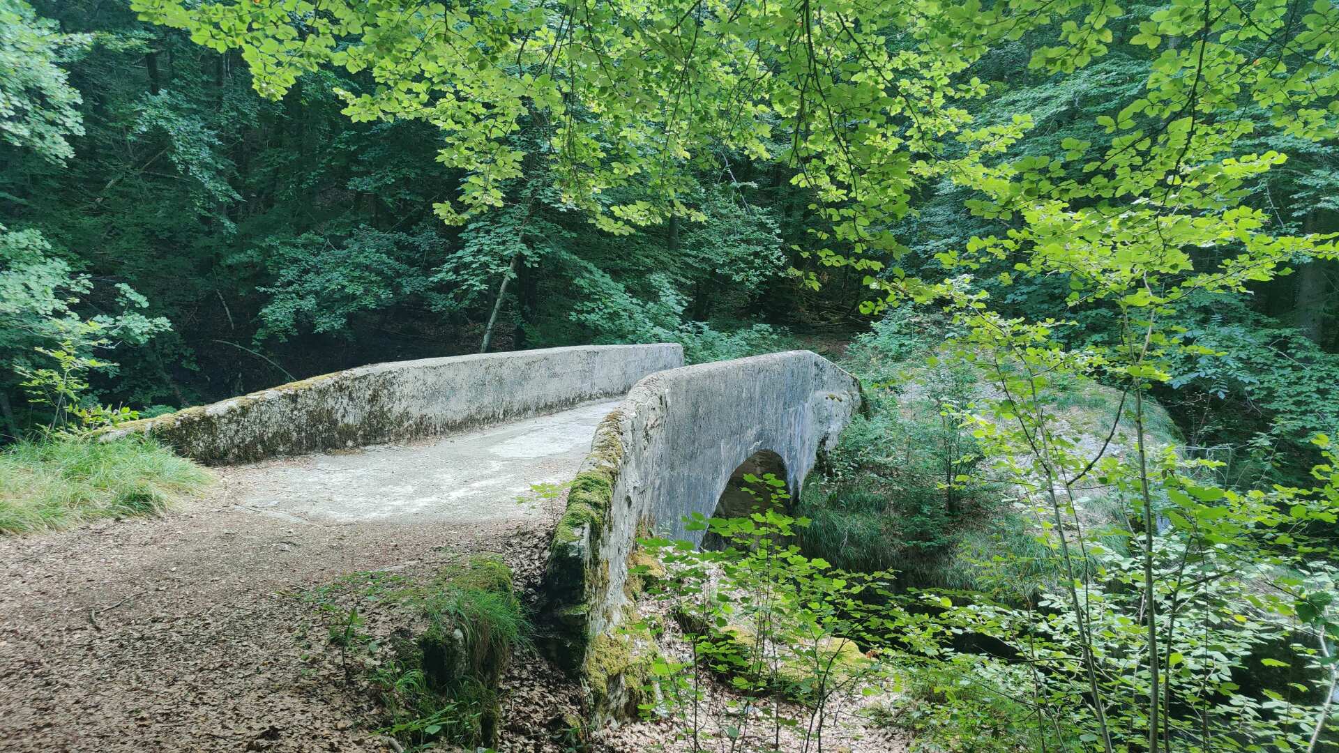
Finally, the long-awaited bridge leads to the other side of the valley. The ascent towards the Rhine Valley begins. Along the way, I find wild plums hanging from the trees. Later, I would regret not having eaten more of them.
The trail leads uphill, passing through the small village of Rosset. A trail runner speeds past me. I can’t keep up; it seems like today isn’t my day. This is confirmed a little later when I realize I’ve lost the trail.
There are markings everywhere, but I can’t (seem to) make out a path anymore. The GPS is pointing sharply to the right, and lo and behold, I finally find something that looks like a trail.
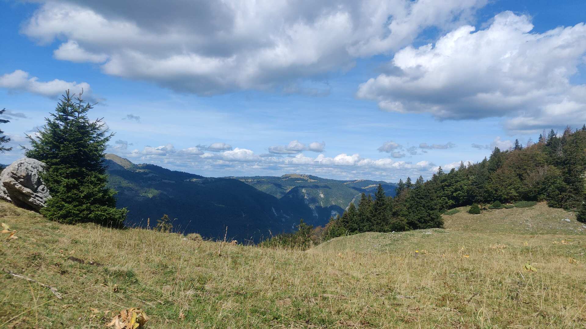
Until I finally get to Crete, it’s going to be a truly tough journey. I’ll need a lot of breaks, and I’ve already finished the whole bottle, a little past the halfway point.
It should also be noted that the trail is practically impassable without GPS assistance. The path is rather unimpressive, but it does offer some support. Away from the path, it’s not exactly rocky, but it is very steep and slippery.
Finally, at the top, at the Passage du Gralet, there is a great view. However, it’s only a view back towards the Jura mountains; the view towards Lake Geneva remains completely obscured by trees.
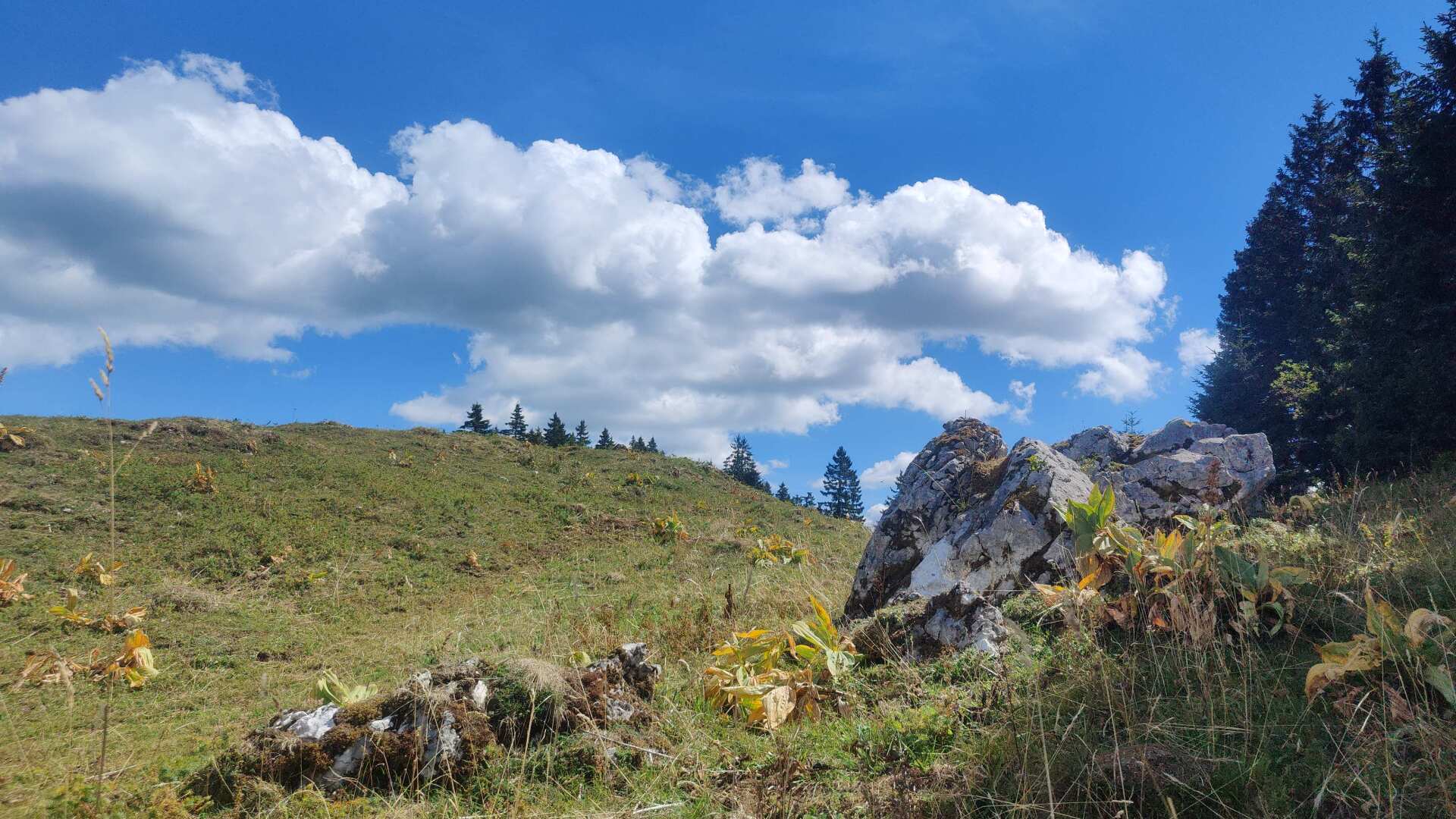
The sign says it’s a 2-hour hike to the next village. It was going to be a long, arduous descent, and especially a thirsty one. Along the way, I tried to find refuge among the lush green ferns. It was a rather bitter experience in terms of taste; my mouth remained sticky and dry.
Having arrived at the village of Feigères, I ring the doorbell of the first house. I don’t have to ask for long, a friendly man fills my bottle and hands me bread and cheese. That’s all he has to offer, unfortunately.
For me, this is a real feast right now. I’m very grateful, and I’m also finding out that there’s nowhere up there to get a drink or something to eat. And yes, the paths are rarely used.
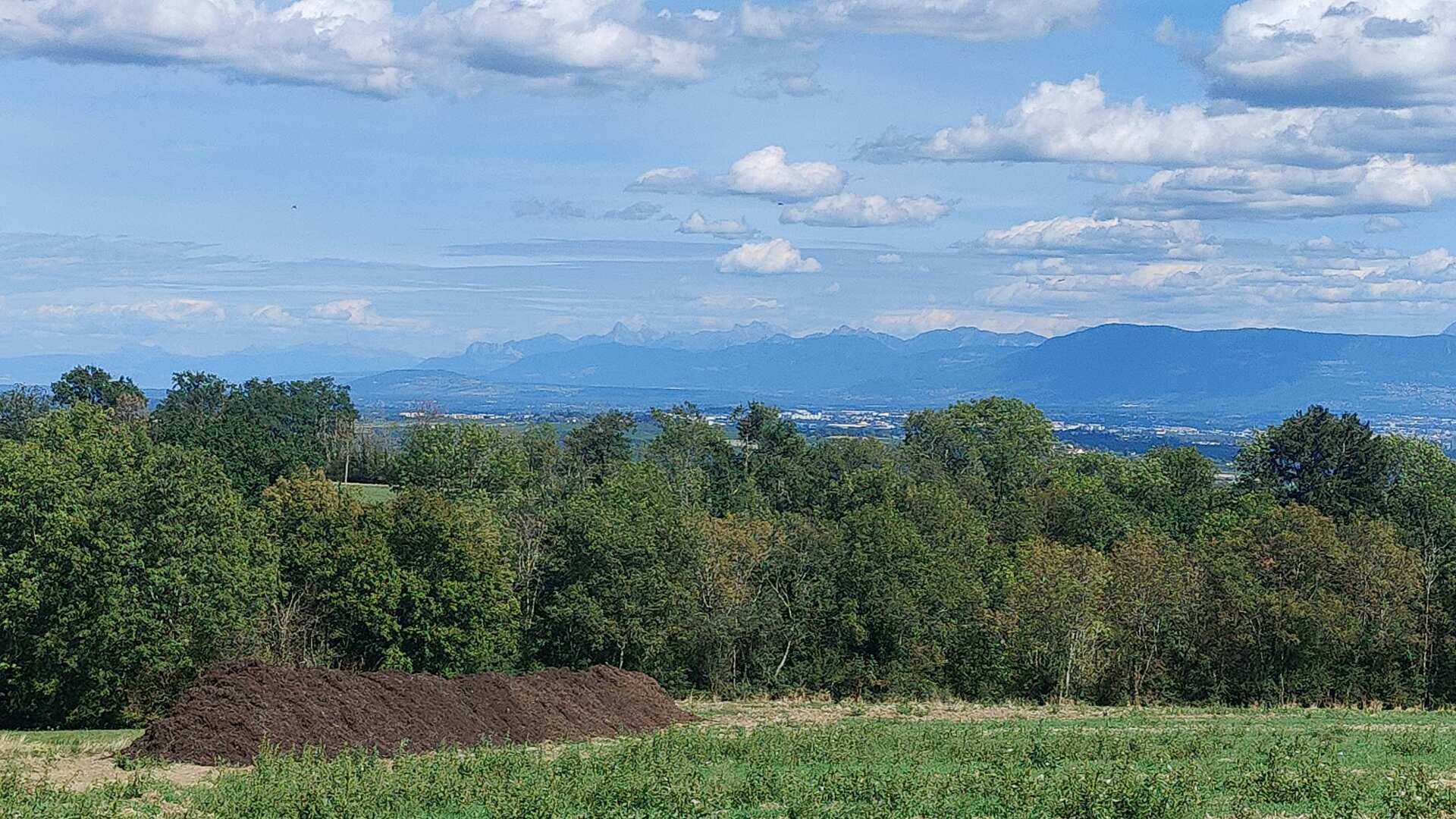
Feeling refreshed, we now head down a gently sloping plain towards the Rhone. It’s hot this afternoon. In principle, I wanted to run all the way to the river today. However, there’s no bus there, and it’s also unclear whether there will be one in the next town.
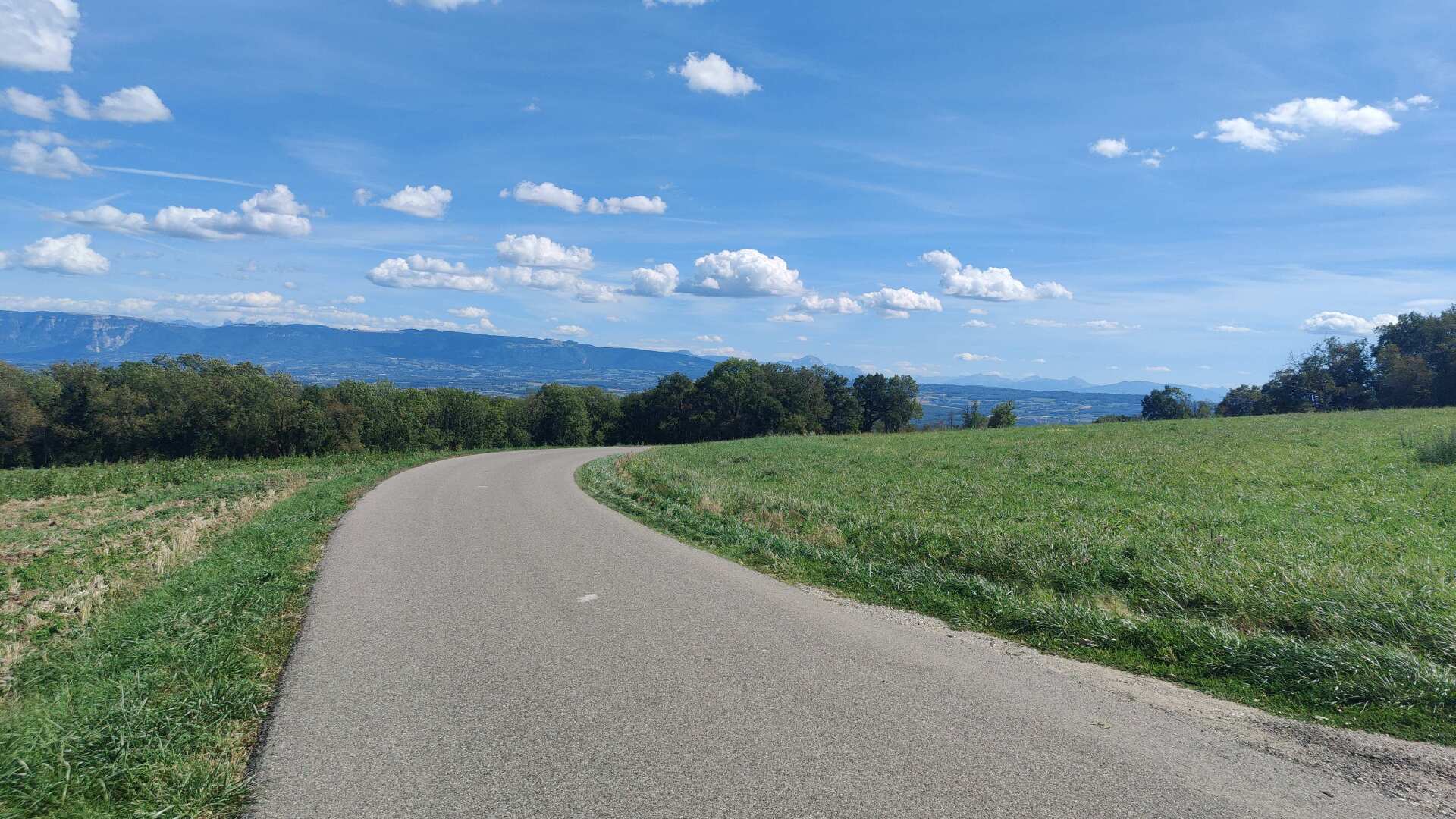
In the end, I’ll settle for Farges. At least there’s a bus station there with a schedule. However, it’s proving difficult to find out when the next bus will leave. According to the online schedule, I would arrive in Geneva at 9 p.m., which would be a full four hours.
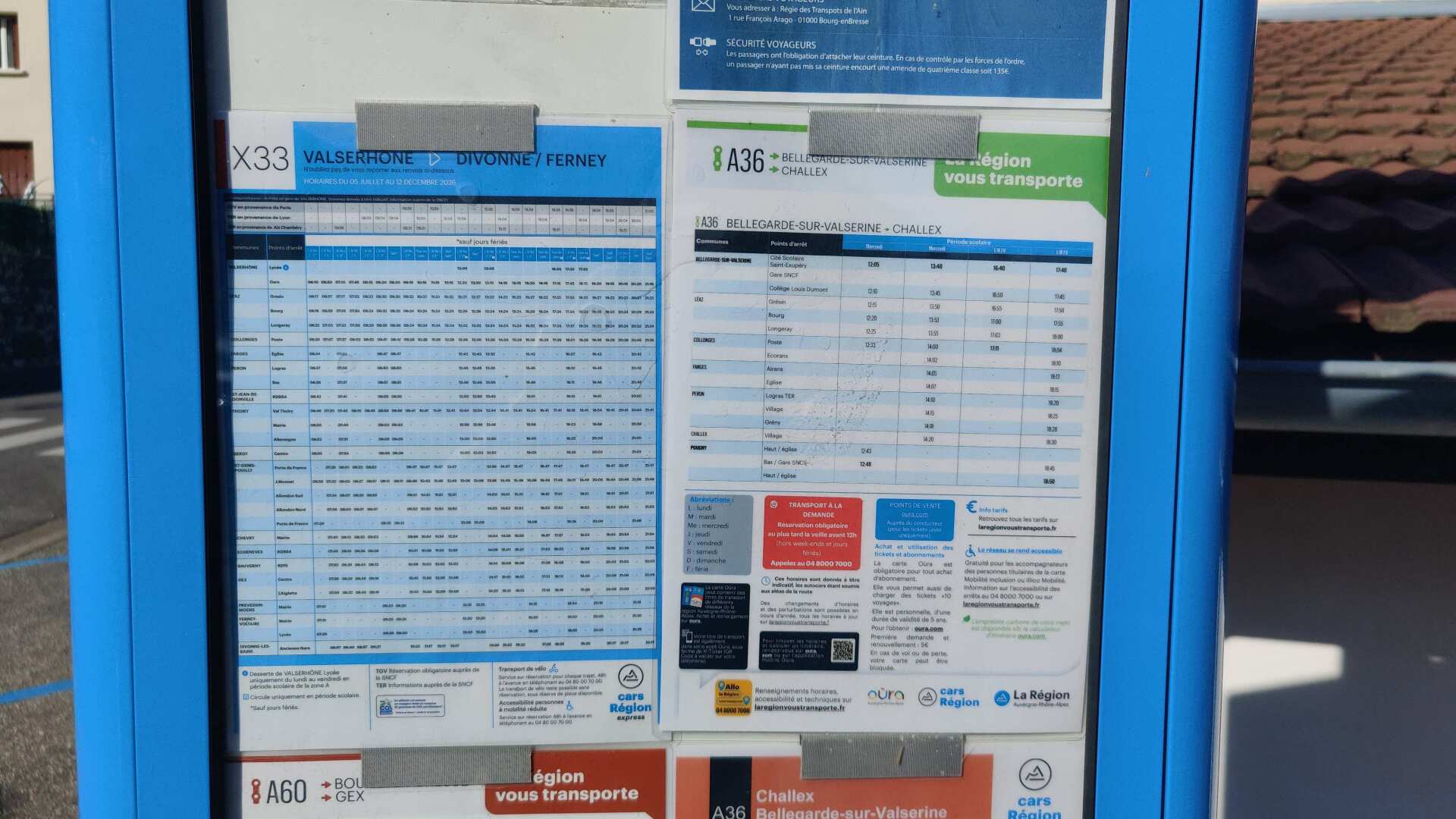
I’m ordering a taxi. Then, for 50 euros, we’ll take the highway to the border. After that, I’ll take the tram from the CERN terminal, which takes 30 minutes to get to Geneva Cornavin train station. This way, I saved almost three hours. So, today I saved money on food and supported the local taxi industry.
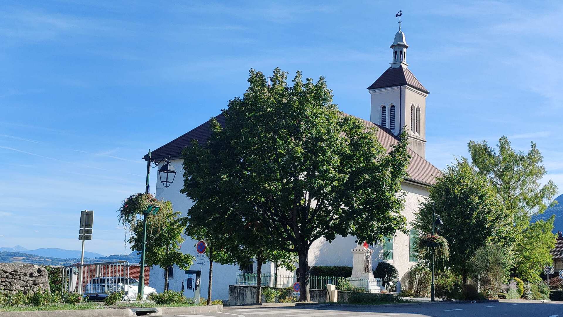
I missed reaching the Rhone today by a few kilometers. But does it really matter? I’ve already hiked 525 kilometers; it would have been 530 to the Rhone. 1291 is still a long way off anyway. Content, I board the train in Geneva; a break is deserved and necessary.