After a few days of rest, the journey continues in the Aosta Valley. I know that the road ahead is still long and autumn is well underway. If I want to reach Bregenz this year, I need to hurry. This is even more true since I’ve only covered about half of the distance.
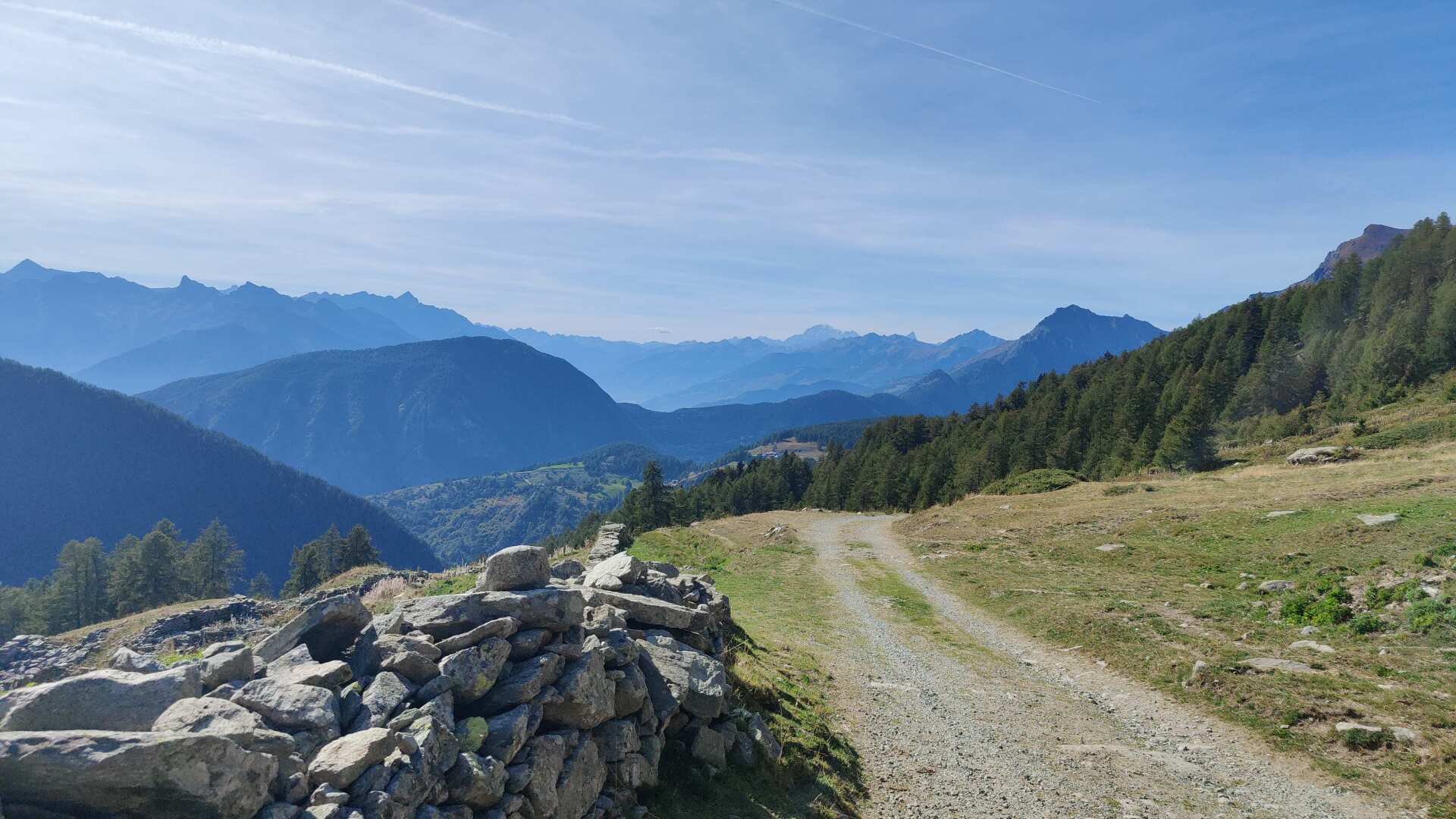
Day 24: Lonely and steep along the valley
I’m starting in Pre Saint Didier. Getting to the Aosta Valley from Zurich or Basel isn’t straightforward. The morning bus connection from Martigny leaves at 8:35. That’s not enough time. Only if traveling from Bern or Valais can you catch the “early” bus. All other connections mean you’ll need to stay overnight the evening before.
I’m staying overnight in Valais, and I’ll be ready to start around noon. At an altitude of over 1000 meters, it’s hot, very hot even, on this 19th of September. In terms of climate, we are very far south, as evidenced by the numerous vineyards shortly after the start.
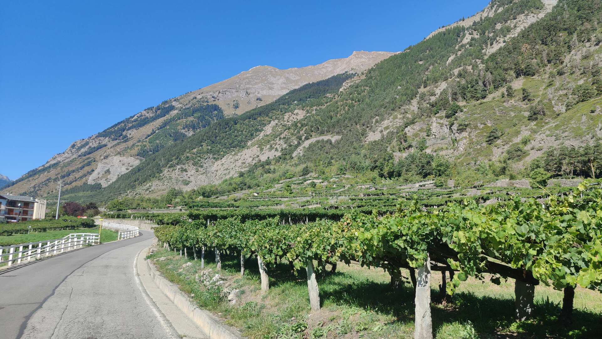
The ubiquitous irrigation systems along the path also bear witness to the southern exposure. Anyone who positions themselves appropriately will receive a welcome cooling.
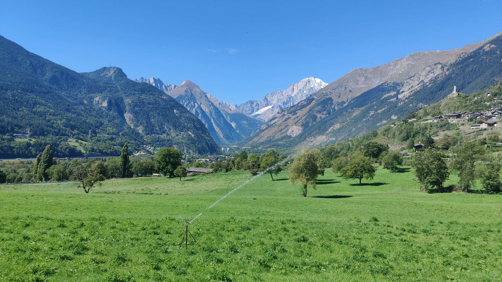
In the hamlet of Morgex, I’ll treat myself to a pizza. It can be observed that, even though the place names still sound French, Italian is predominantly, or almost exclusively, spoken.
Well-fed, I continue on my way, with a slightly uneasy feeling. I’m going to be walking uphill for quite some time. If there isn’t a path leading upwards around the bend, I’ll have to take a detour of many kilometers. To my surprise, the path at the end is actually quite well-maintained.
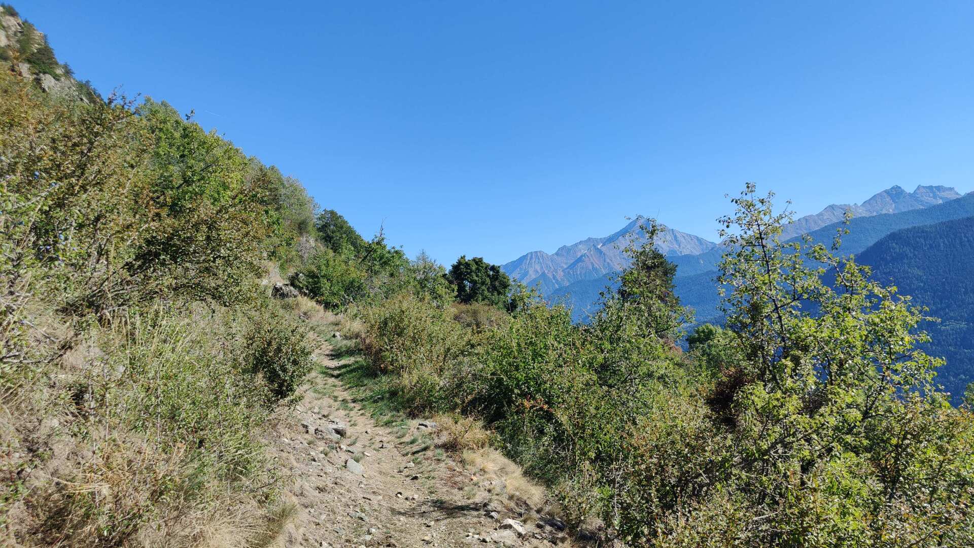
However, the ascent is massive. It goes steeply upwards. I am completely alone. Anyone who hikes without water will suffer on the first part. I was prepared, but the sweating is still beyond what I would have expected at 1500 meters in late September.
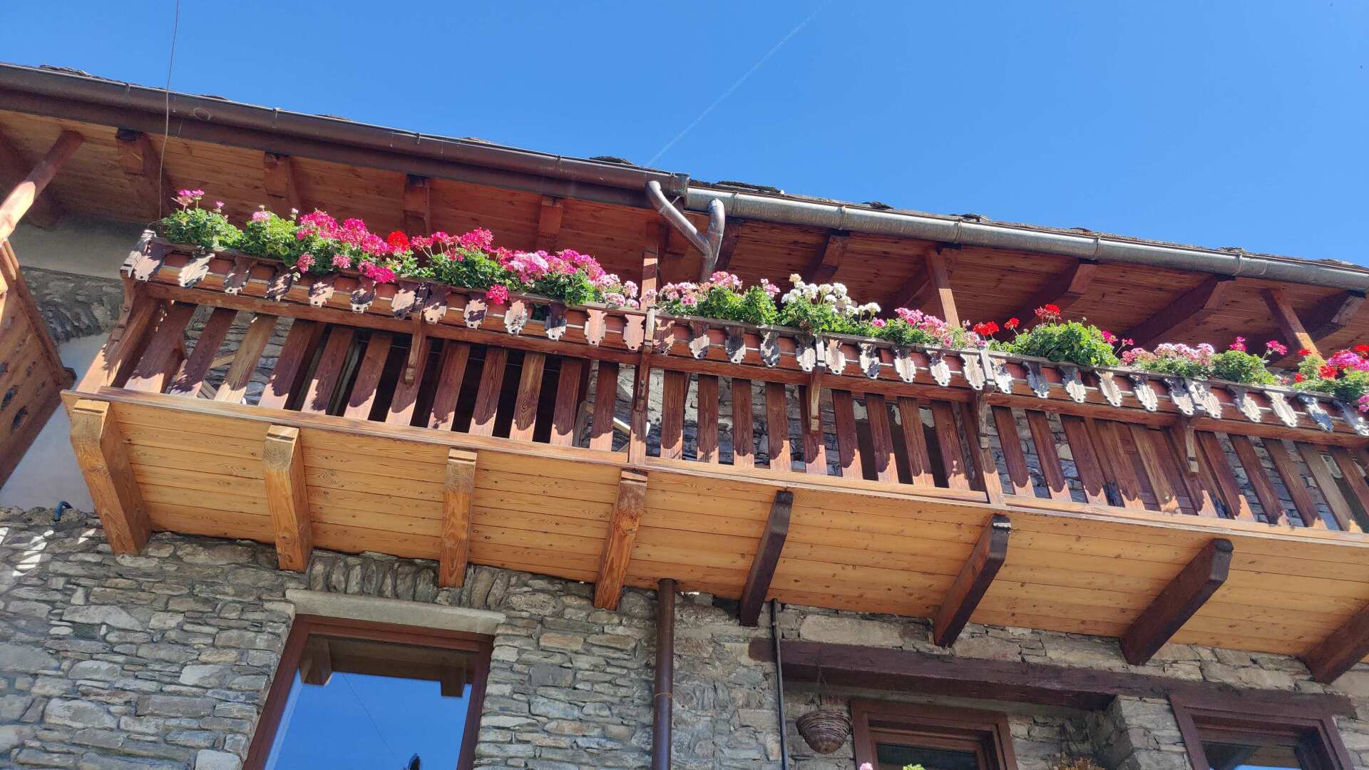
Compensation can be found in a comprehensive view of the valley and in the very picturesque hamlets. Later, a shady section of the path follows a canal for a longer period.
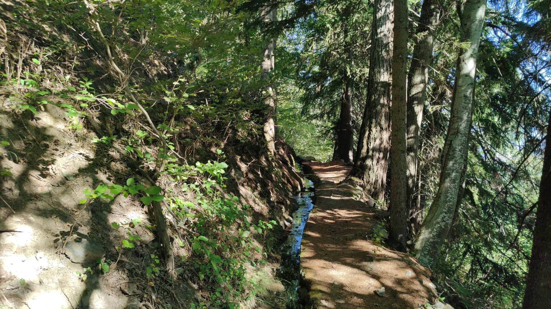
At some point, the wetness disappears downwards, and later, my path does too. I search, and lo and behold, I eventually find the path at the end. Sometimes it’s gentle, then rough, as it goes downwards. Often across meadows, occasionally through thorny bushes.
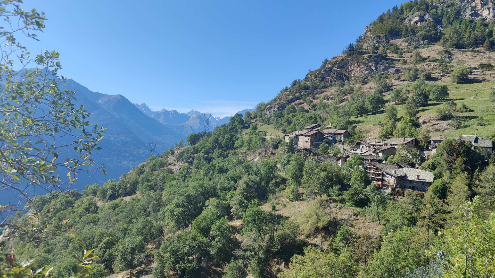
Down in the valley, I’ll soon be in Saint Pierre. Although “soon” is more of a hope than a certainty, as I won’t actually be there until after seven in the evening.
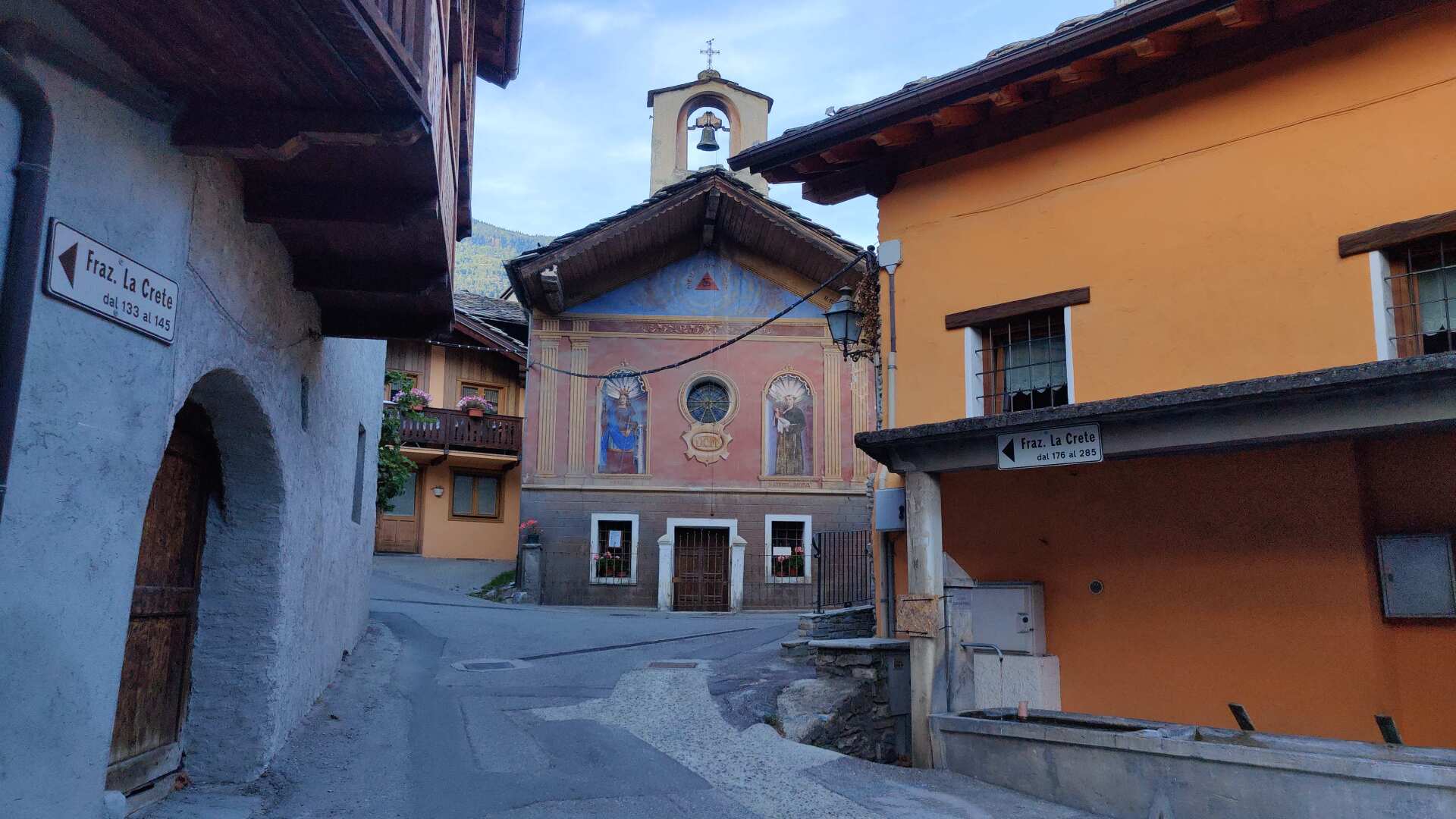
To compensate, I enjoy visiting the small village of Montovert, which at first glance offers everything that defines a typical Italian village: narrow streets, colorful house facades, and a magnificent church in the center. And to prevent the idyll from becoming overwhelming, a few cables hang around somewhere in the area.
25 kilometers and 1100 meters of elevation gain in about 7 hours (including breaks). I wasn’t slow, but I wasn’t particularly fast either (for my standards). Tomorrow, it will be over 35 kilometers with not much less elevation.
I wonder if I might have overdone things, but I soon fall asleep, exhausted, so the question remains unanswered. And I should mention here that I didn’t find the answer even in the following days.
Day 25: Long stretches on the Via Francigena
I set off early, and breakfast isn’t just left unfinished, it’s non-existent. After about 11 kilometers, Aosta will be reached, and that’s where I’ll eat. But after only an hour, I’m already wandering through the vineyards, hungry.
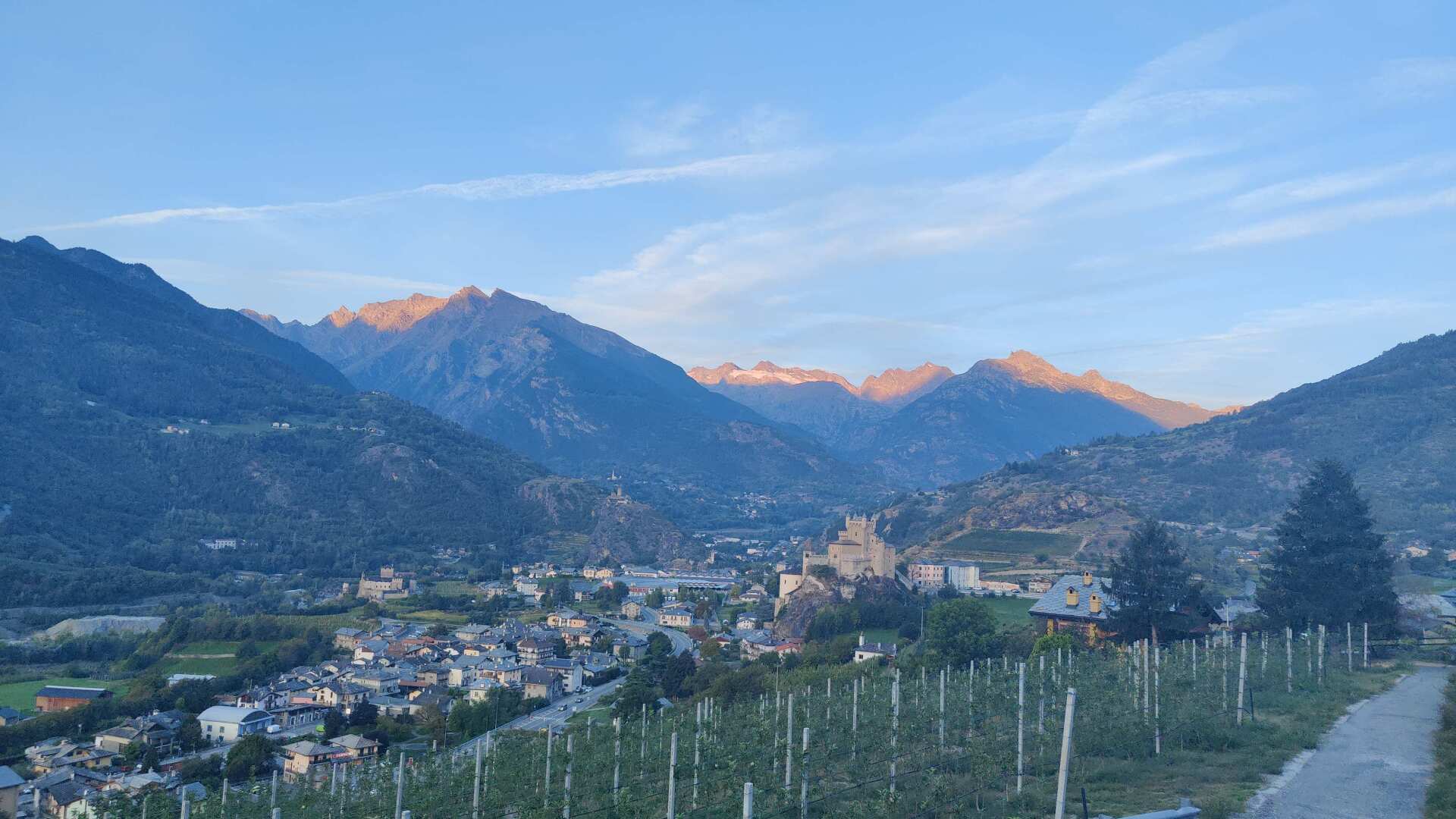
I find myself snacking on some grapes along the path. I do so with a guilty conscience, though, because I’m picking the fruit from vines that don’t belong to me. I tell myself that the main harvest is already over, and I’m just picking up what’s been left behind. Whether that’s true or not, I don’t want to investigate further.
The grapes are extremely sweet, almost too sweet to be refreshing, although complaining about it would be completely inappropriate, and an empty stomach wouldn’t have been a better option right now.
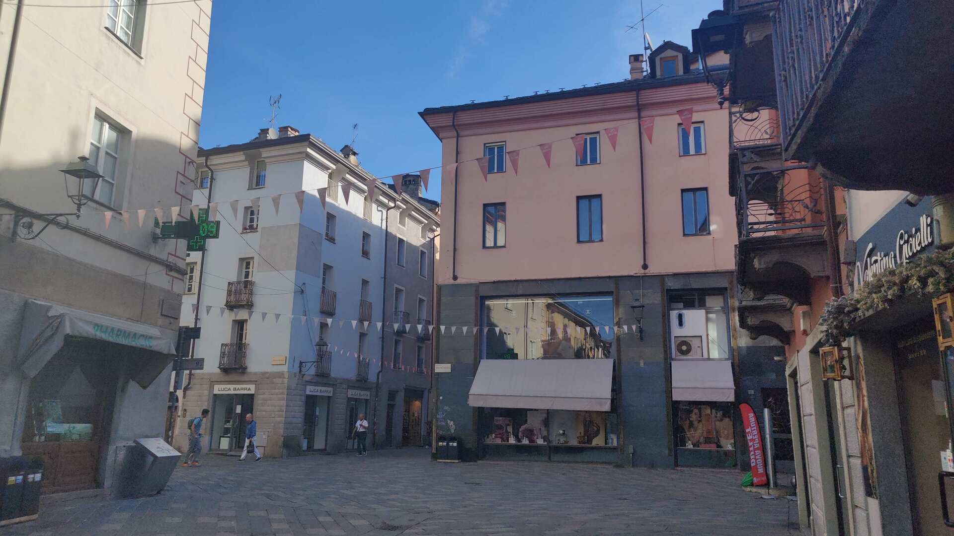
The suburbs of Aosta are not small, nor is the old town of Aosta. With all these lavishly furnished shops, it’s a real pleasure to stroll through the city and grab a bite to eat along the way.
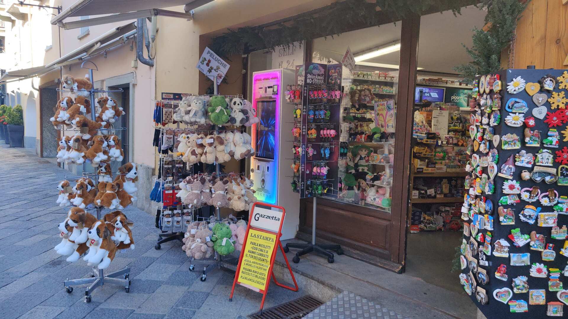
In stark contrast, there are the souvenir shops with the Berry dogs. However, it should also be noted that the vast majority of visitors can be found in the numerous tasting shops. In short, the plush dogs and other souvenirs remain in a noticeable minority.
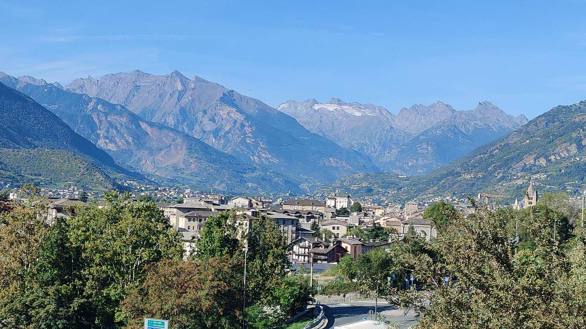
At the western end of the city, I encounter hordes of tourists. The groups are quite large. They are led by a banner or a person with a pole and a flag. The cacophony of languages is considerable.
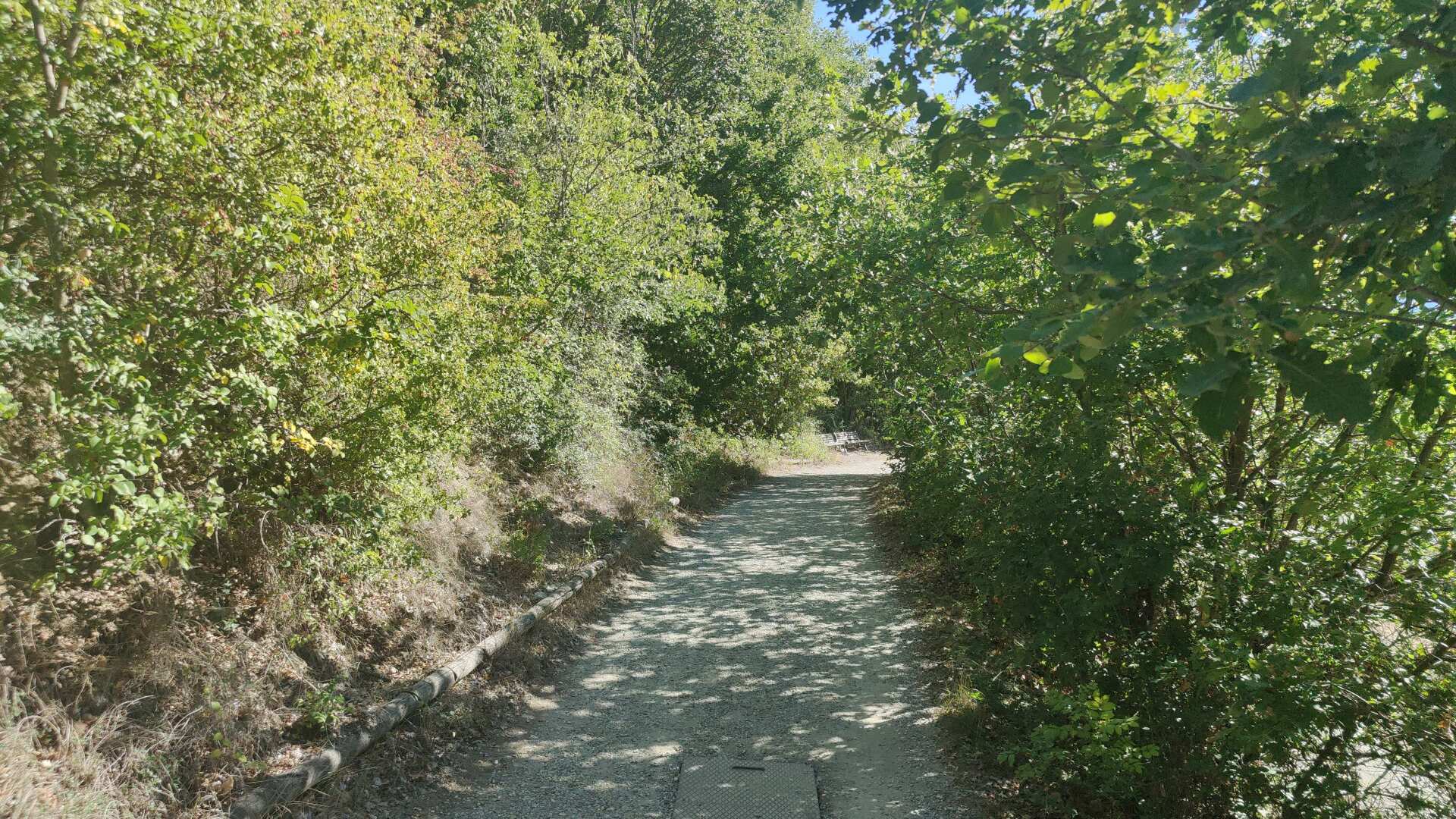
All this hustle and bustle is unnecessary; I’ll just keep walking. Soon I’ll be alone again. Today I’m hiking on the Via Francigena. I can see trail markings everywhere, but I don’t see anyone else who seems to be on a pilgrimage or wearing pilgrim attire.
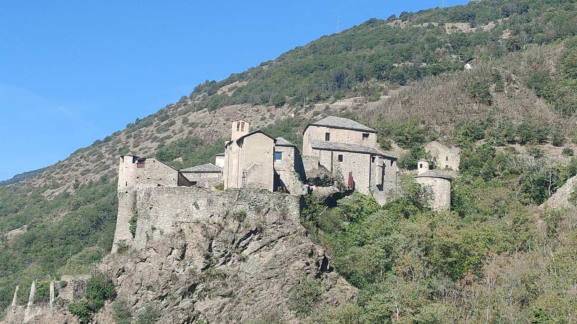
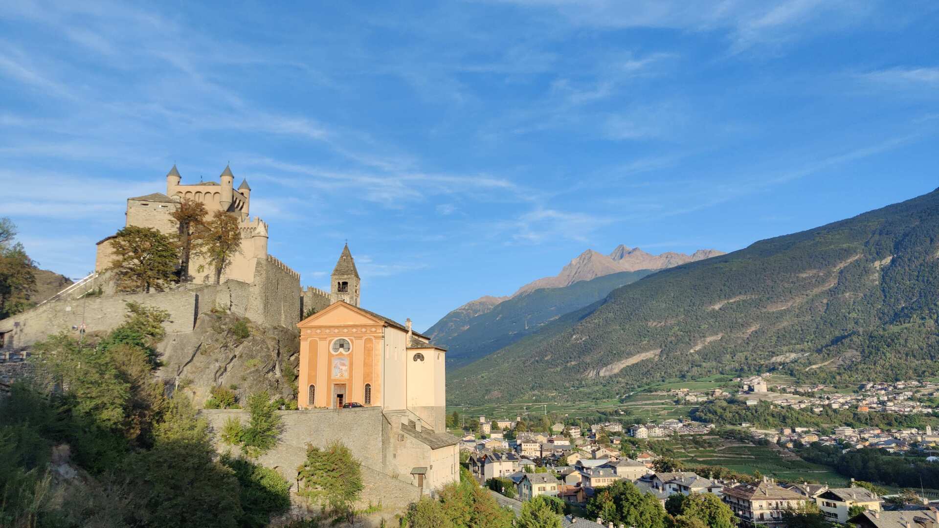
The path leads upwards, and after another hour, you will reach Castello di Quart. The view of the valley is magnificent and all-encompassing, and the Mont Blanc still graces the horizon.
More than ten years ago, I hiked through here with my family. I was a complete novice when it came to satellite-assisted navigation (GPS).
We hiked up many hills, only to discover at the top that there was either a way back or a path through the thicket. Today, I realize that the Via Francigena trail leads very gently and easily along the slope above the valley floor, heading south.
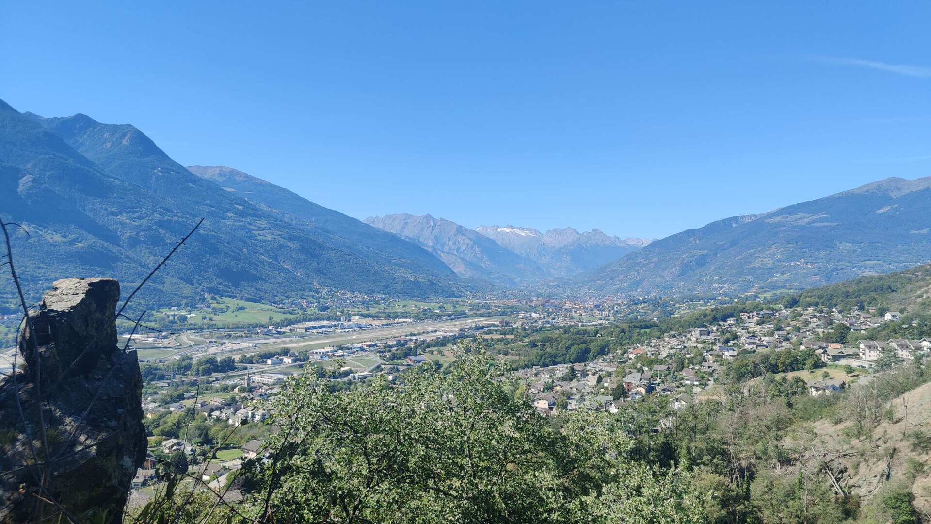
Small villages follow, and more than once I am called out with “Buon Camino.” Even though I’m not walking to Rome, these friendly greetings are particularly welcome today. I feel a bit sluggish and tired, but after each “Buon Camino,” I continue running as if revitalized (at least for a while).
The signs of the Via Francigena are everywhere, but no matter how much I look around, no one seems to be walking towards Rome.
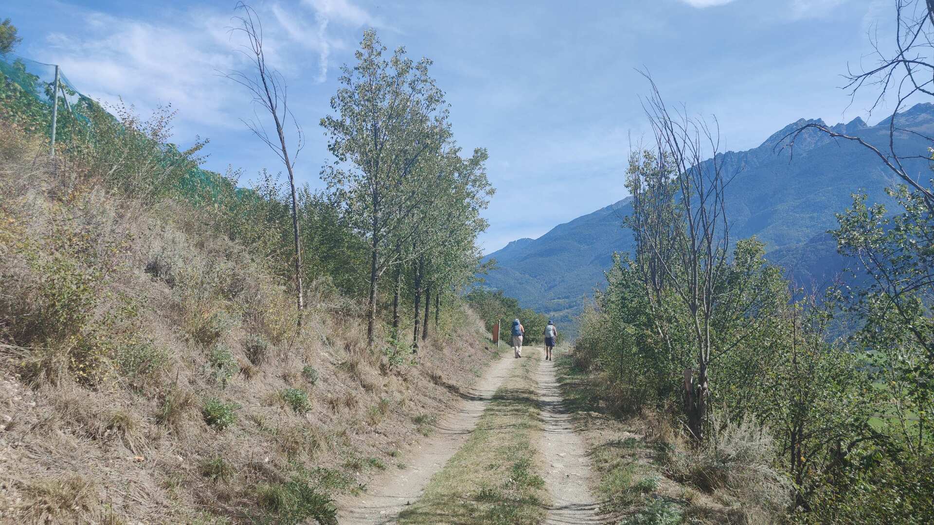
Along the way, you can find many churches. These usually offer a water fountain somewhere and a welcome respite from the heat inside. And as a bonus, you get a chance to immerse yourself in the world of the church.
During one of these historically significant breaks, which I take mainly to rest my feet, I happen to encounter a group of pilgrims, and they are quite an international bunch. Two of the four members are from Canada, and the other two are from Australia.
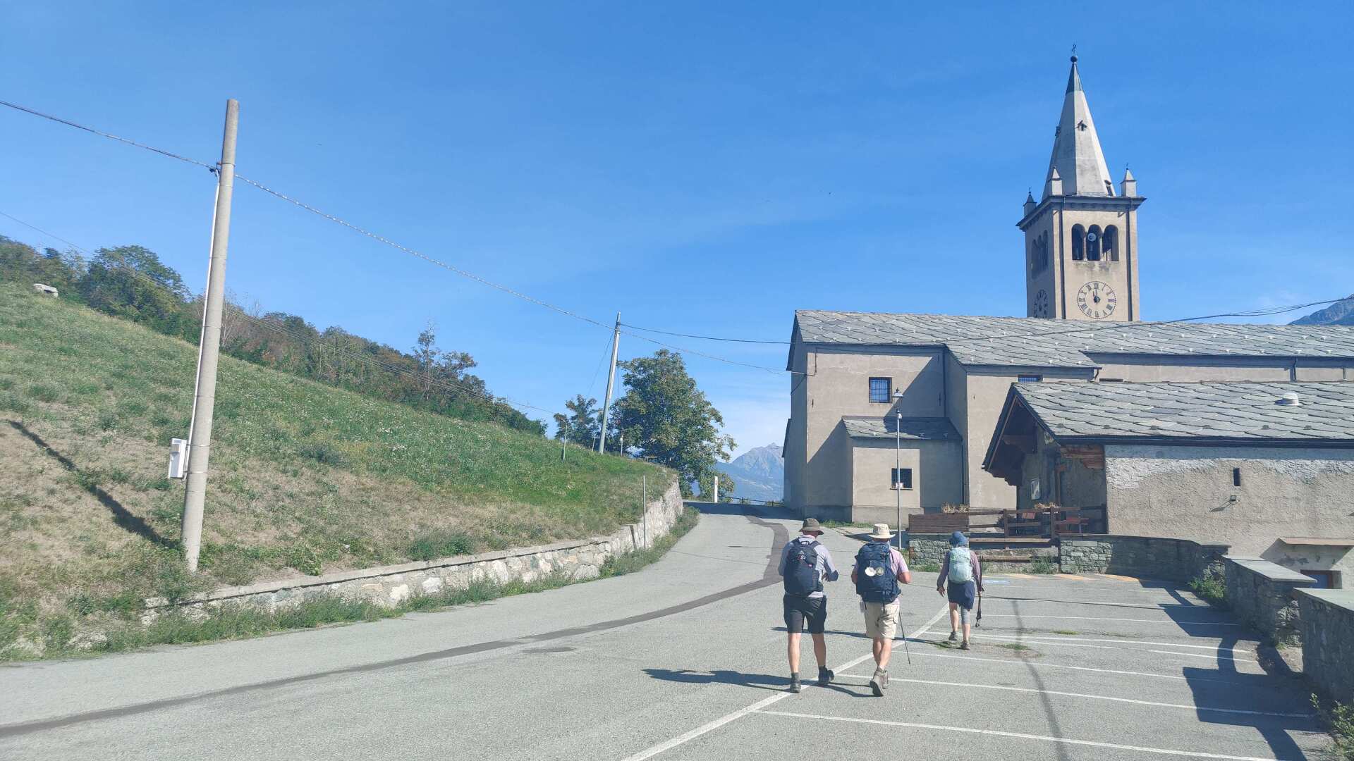
I walk a good distance with the small group. It’s nice to be in good company for once. I might even be able to convince them to do an interview for my documentary.
My (unintentional) running gag is that I often only realize after a minute or two that I haven’t pressed the record button. So, we end up cheerfully performing the intro twice, even though it’s a bit embarrassing for me. But all in all, it’s just not been my day.
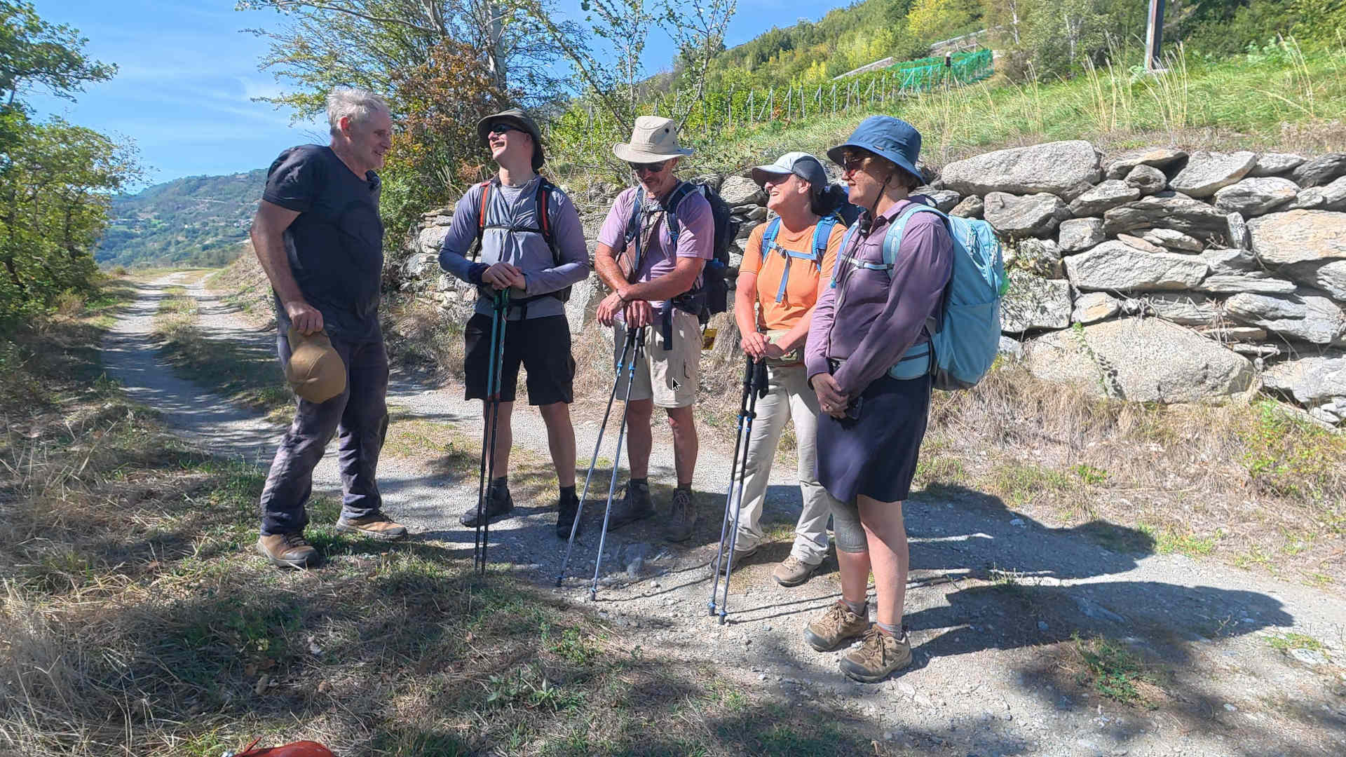
While hiking the pilgrimage route in Italy, the group appreciates the landscape, culture, and especially the cuisine; moreover, the people along the way are said to be very friendly (which I can certainly confirm).
Unfortunately, our paths will soon diverge. You have reached your milestone, while I still have approximately eight kilometers to go.
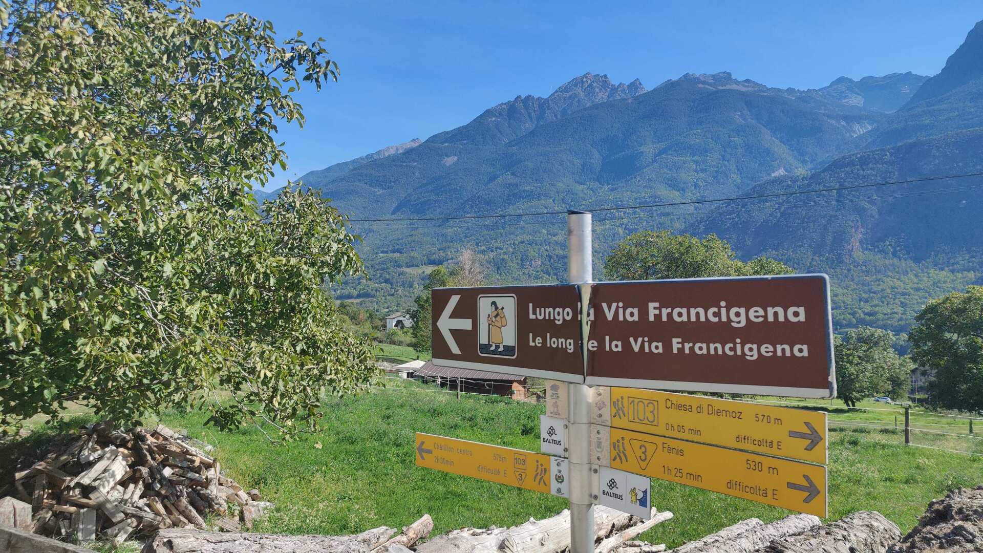
The village of Chambave offers narrow streets, but unfortunately, there are no open restaurants or shops. I’m living off the supplies I brought from Aosta. Since I bought plenty there, it should also be enough for dinner later.
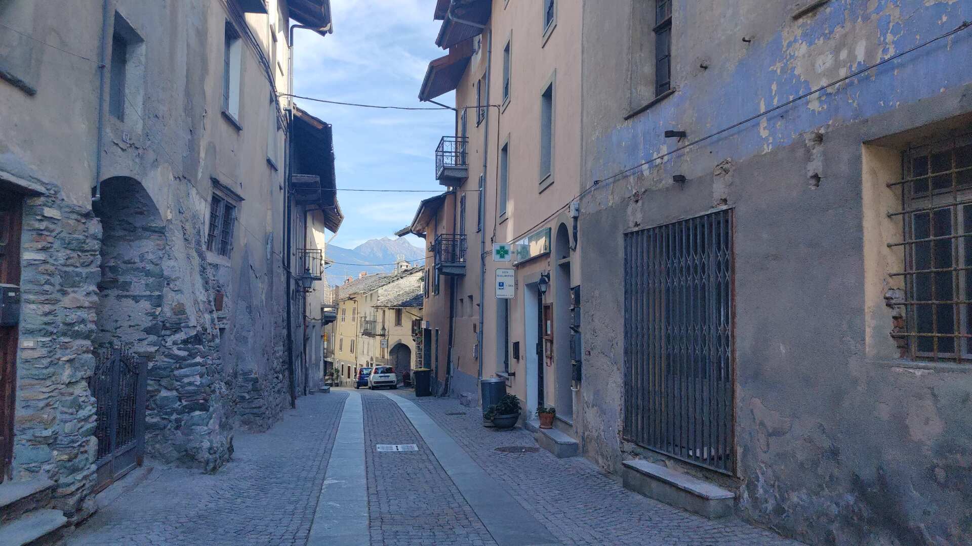
The final stretch is both rugged and romantic. In the evening, at the accommodation just before Châtillon, I realize I must have caught a cold.
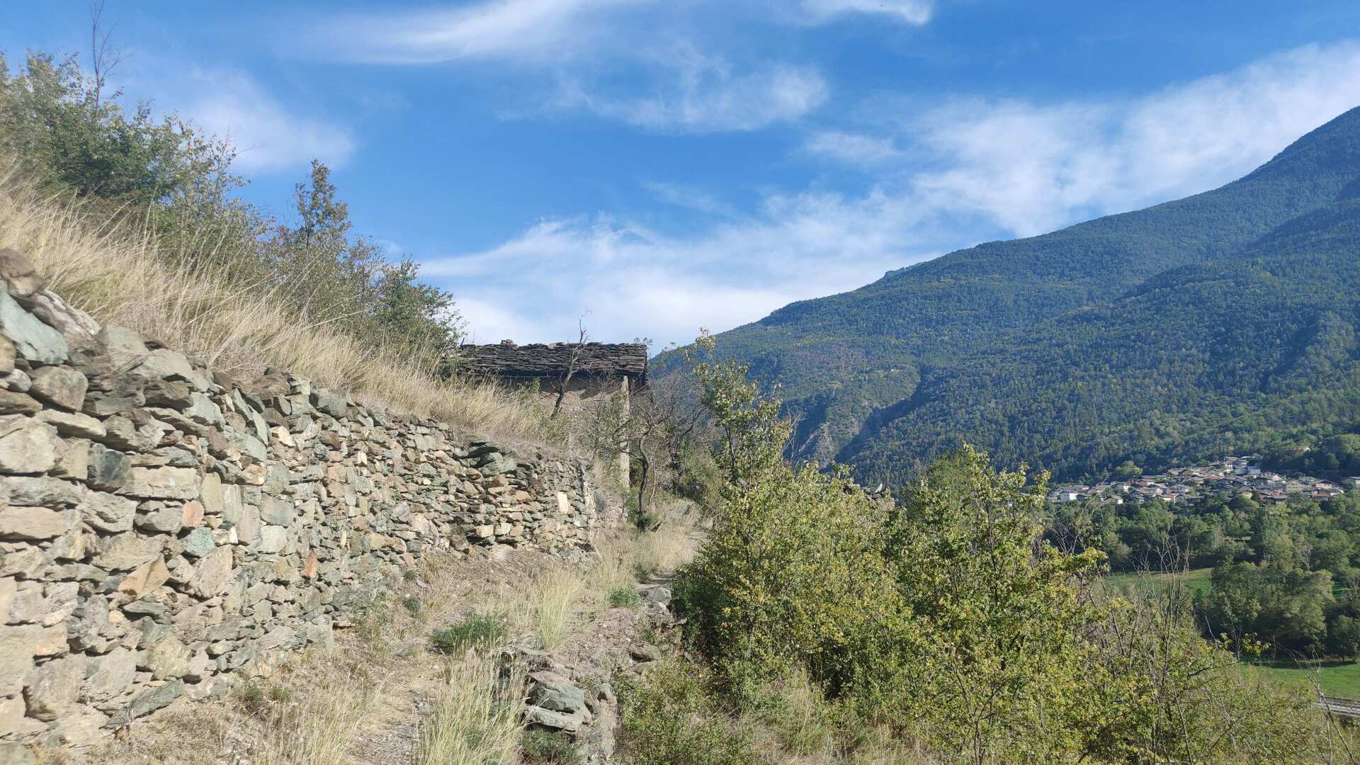
It could be a beautiful day; tomorrow we’ll be covering 25 kilometers and gaining over 2000 meters in elevation.
Day 26: Scaling new heights with a cold
The cold didn’t disappear overnight. Dinner turned out to be a bit meager, so I’m looking forward to Châtillon, or the corresponding store where I can buy things.
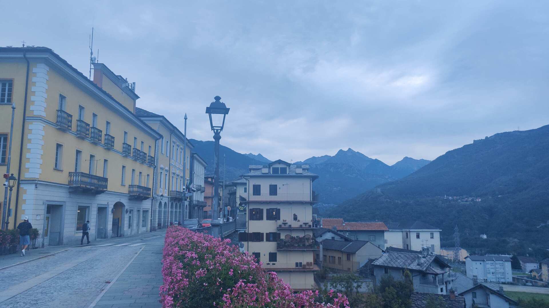
I’m shopping like crazy. Bread, cheese, yogurts, fruits, chocolate, 2.5 liters of drinks. The ultimate challenge is to eat enough so that I can pack the rest into my backpack without being crushed by it.
The climb to the Col du Joux (still a French name) is both long and steep. However, it initially follows a very gentle slope along the hillside. This is a bit of a trick, because you think you’re already climbing, only to later realize, when the real ascent begins, that you’re actually still down in the valley.
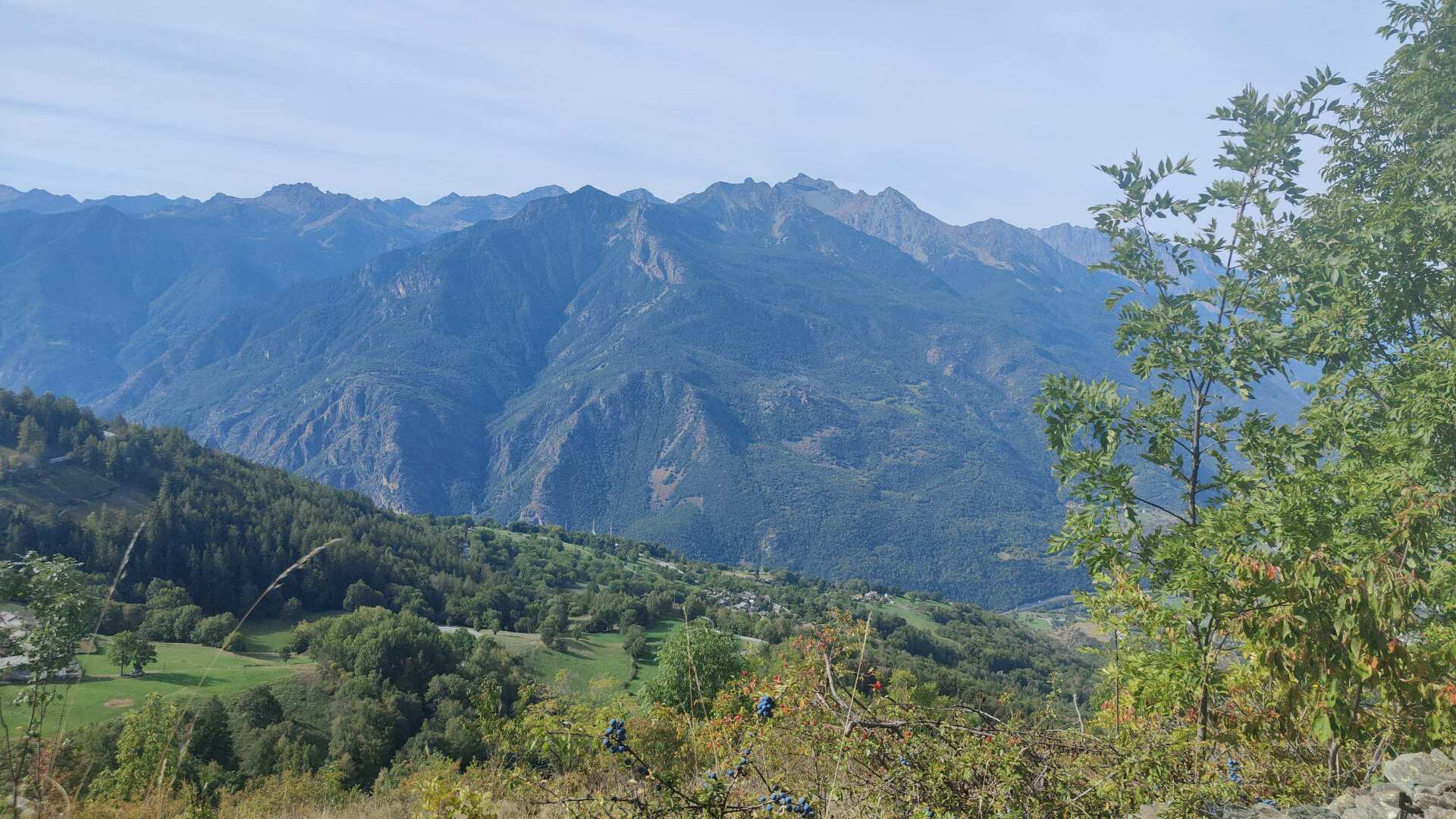
We’re going uphill for a good 1100 meters. There aren’t many flat sections in between. I can feel my pulse, and the cold I have. Sometimes it feels like my pulse is too high, and whenever I look at the map, I realize that I’m further along in my mind than I am on the trail. Also, I need these little breaks so I don’t get out of breath.
I’m not even going particularly slowly, but the price of making progress is quite high. I trudge upwards, feeling weak. And I know that once I reach the top of the pass, I’ll have completed half of the journey, not counting the descents, which will be of a similar magnitude.
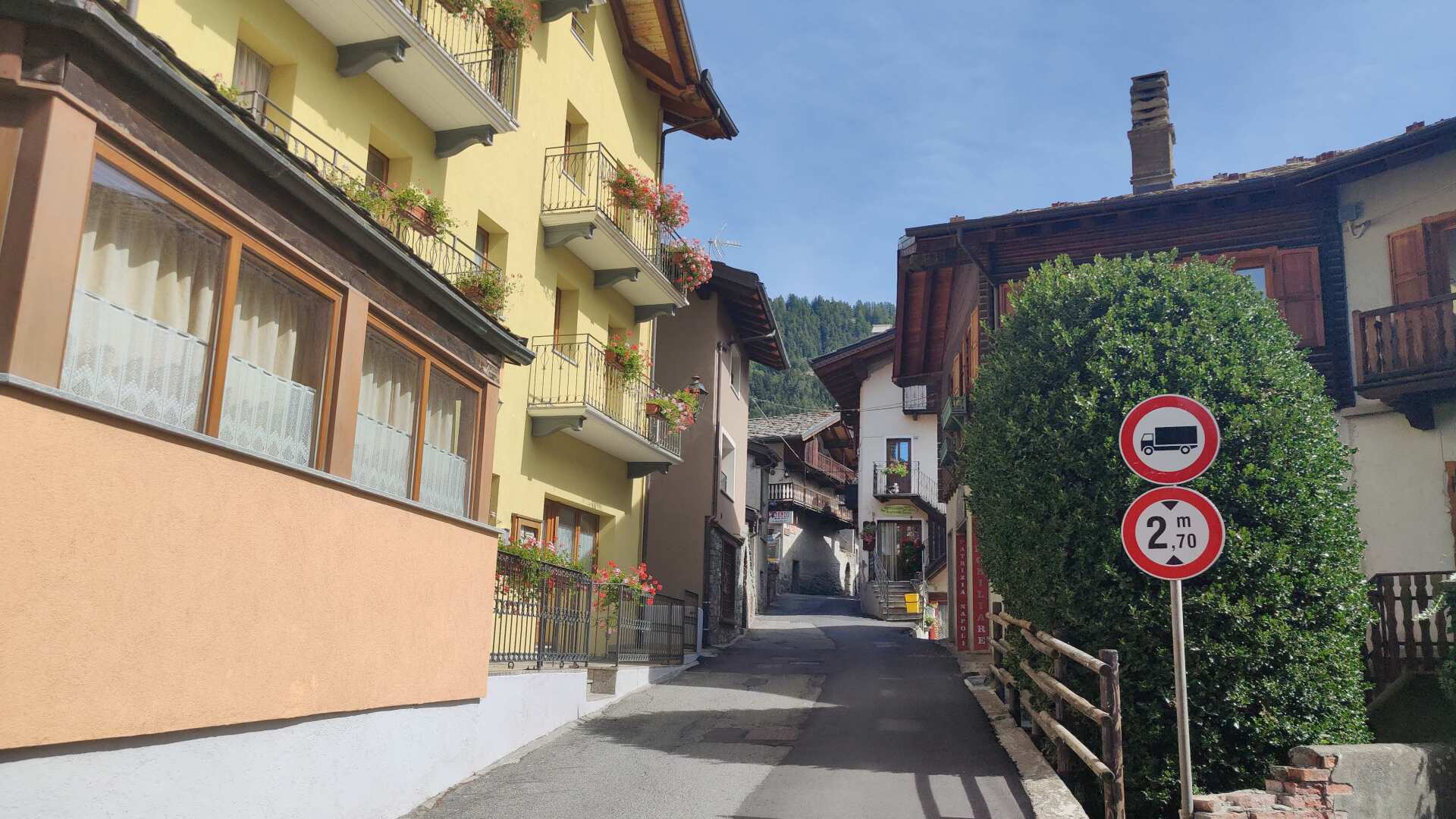
Shortly after twelve, I’m wandering around the only place in town, the small village of Brusson. The shops are either not suitable (sports and souvenirs) or closed (bakery). Luckily, a restaurant is open.
I’m eating everything on the plates. It’s delicious in every way, but the prospect of another 1100 meters of elevation gain is definitely dampening my enjoyment.
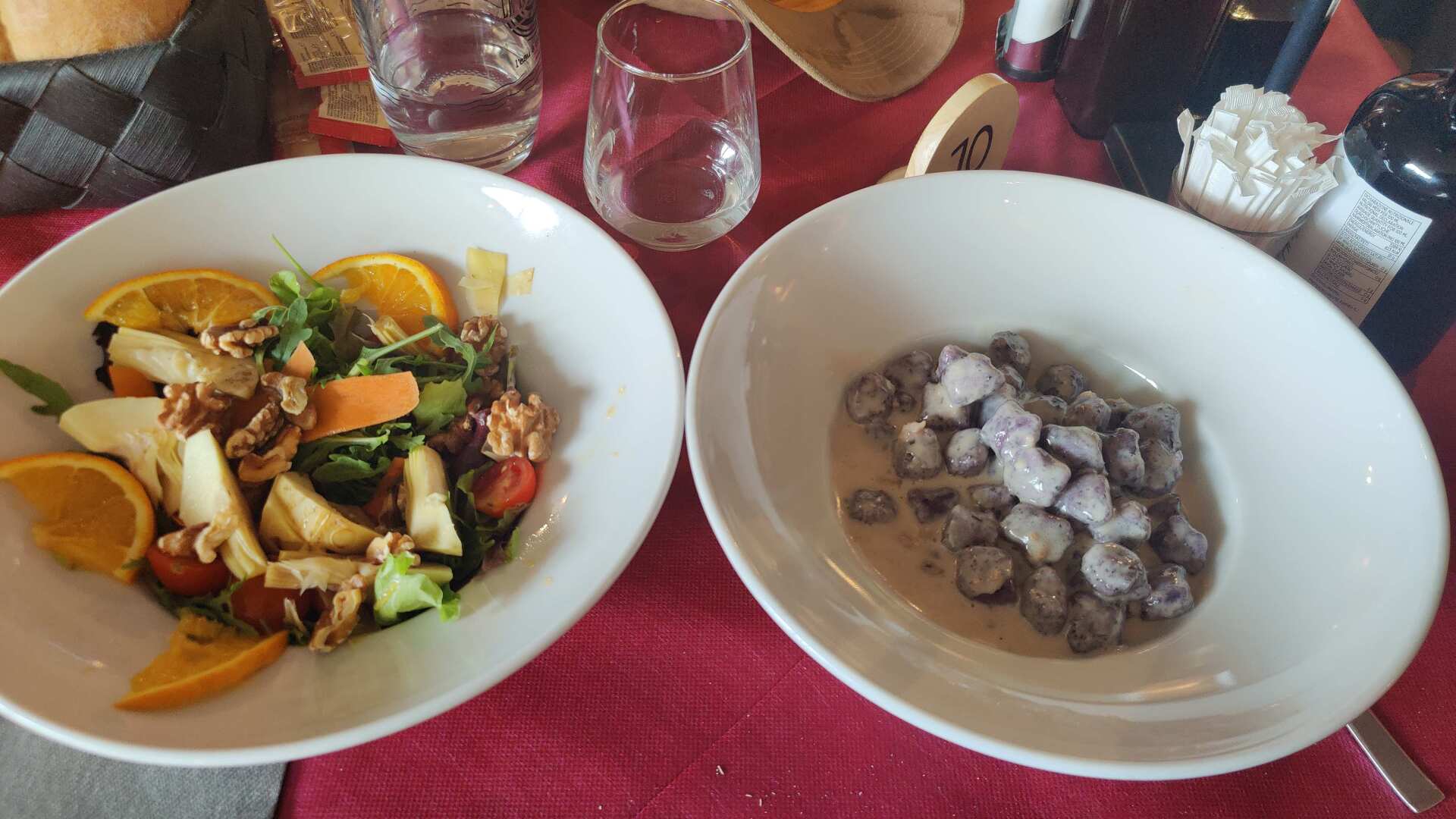
The fear shouldn’t be entirely unfounded. The climb after the hamlet of Capella di la Croix (which still has a French feel) is even steeper than the one in the morning. I count hairpin turns, stones, trees, and who knows what else. Exhausted, I finally reach the small chapel. Luckily, the fountain in front of it provides water.
Fortunately, the path after that isn’t quite as steep. It’s followed by truly picturesque alpine settlements. The dog in the photo wasn’t exactly a source of joy. Or, let’s put it this way, he had plenty of time and inclination to launch a barking attack. Wildly and helplessly, I wave my poles around.
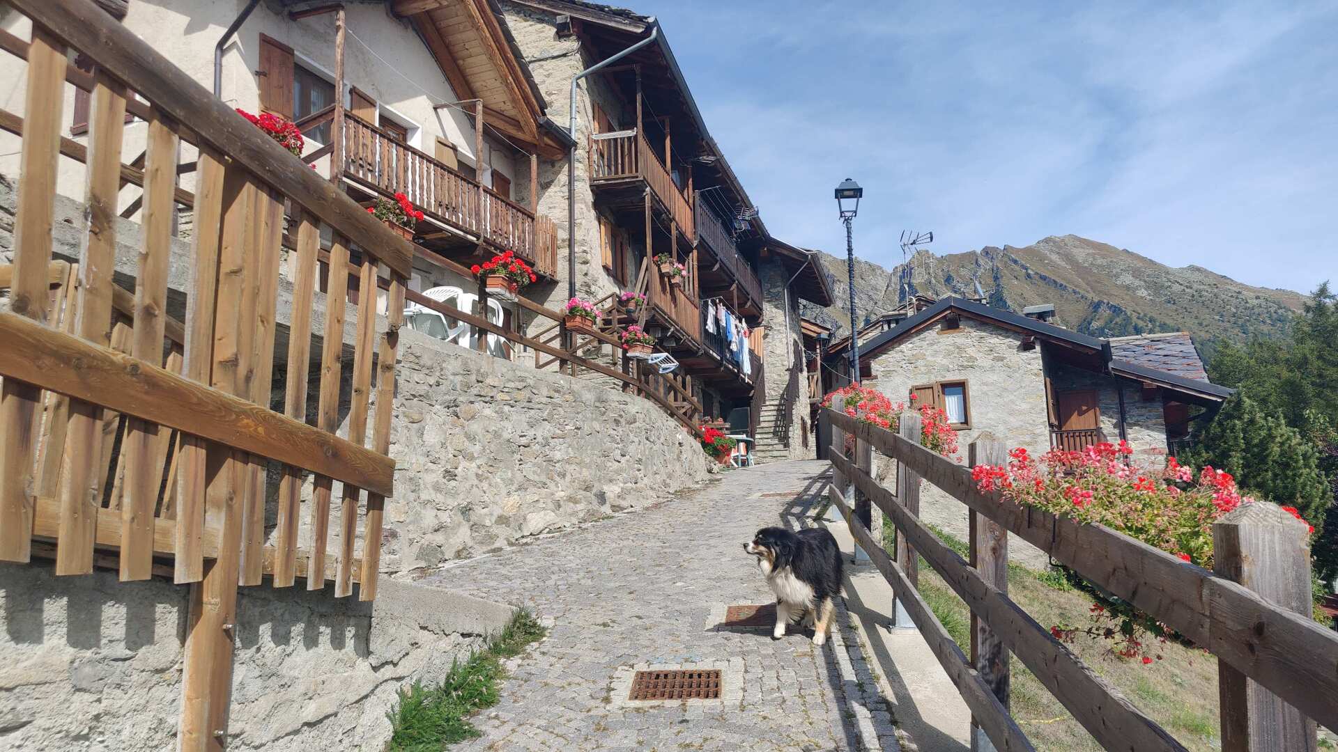
Eventually, the relieving whistle pierces the human air, and the animal luckily scampers away, not without a hearty growl in the meantime. Afterwards, things become more pleasant. On a road, it goes uphill. Steadily, but not too steeply.
From up there, one could enjoy a panoramic view of the entire Aosta Valley, but I don’t feel like it right now. I feel like the mule in the picture, being dragged across the pass with a lot of luggage, against its will.
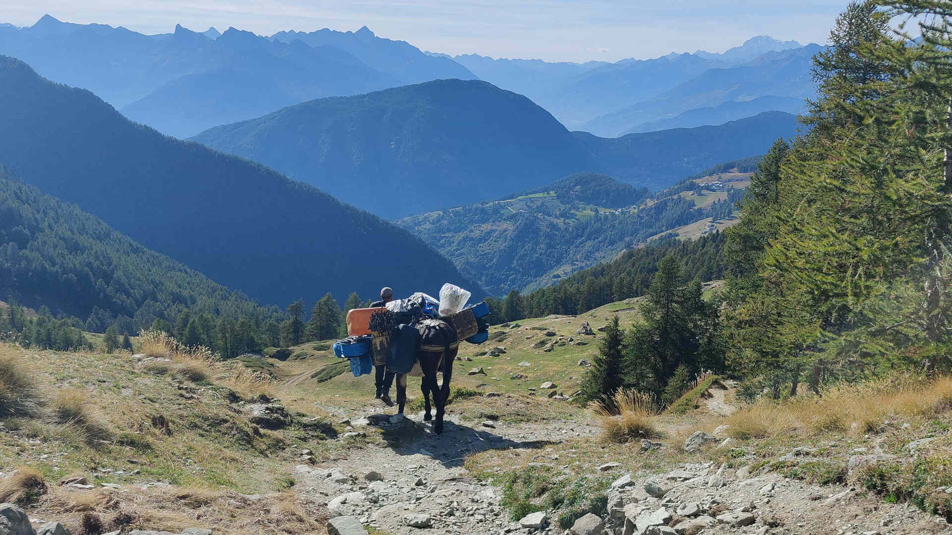
And although my backpack is quite modest compared to the pack animal, I stumble across the pass more on all fours than on two legs.
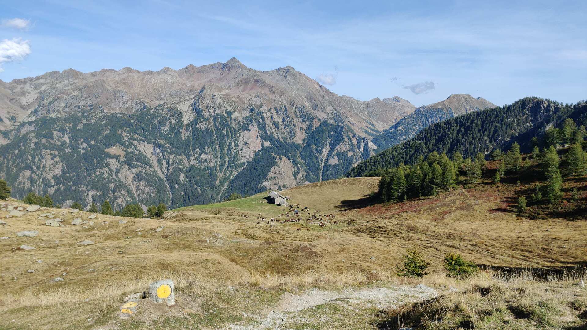
Fortunately, the first part of the descent offers a brief respite. The section leading down into the valley is gentle at first. But I also know that there are still almost 800 meters to descend to Bieltshocke.
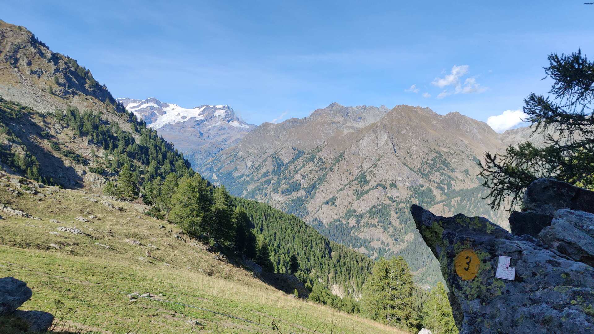
The only downside to the subsequent rough descent is that it offers a fantastic view of the Monte Rosa massif.
And yet, I was so looking forward to this day, as my destination for today is the municipality of Grossoney Saint-Jean. Despite the name, this place is a Walser settlement. The Villa Friedau, where I will be staying tonight, is a testament to this.
Unfortunately, I don’t arrive until half past six in the evening. A lively older woman waves to me at the entrance. I wave back tiredly. I’ll be in bed soon (in the best sense of the word) and I read the email that the local Walser Museum would have welcomed me until 5:00 PM. That was beyond my capabilities that day.
Day 27: Following the Walser Trail and Lost Paths
The next day isn’t any shorter; there are fewer meters to climb uphill, but more to descend. At breakfast, I ask at the reception if they know anyone who speaks Walser German. Yes, her mother speaks Walser German. She was here last night. We waved at each other, but we didn’t exchange any words.
Her mother lives somewhere else and doesn’t know if she’ll be able to come here soon. After waiting for an hour, I set off. Along the way, I ask at a bar if anyone speaks Walser German. A man replies to me, mostly in Italian rather than German, that there are still Walser people on the other side of the valley, in Rosazza, but here, that’s not really the case anymore.
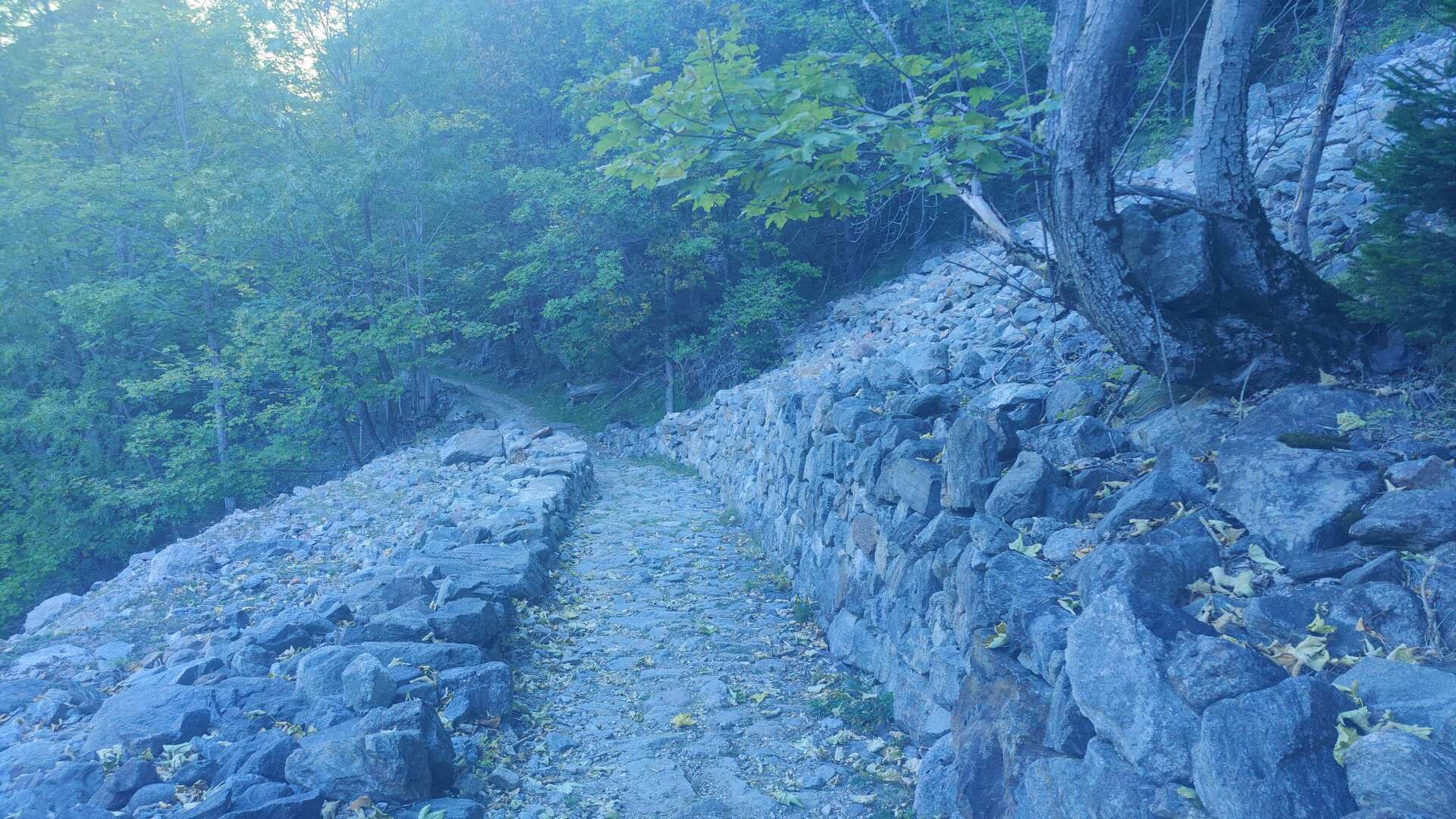
Soon the path will lead upwards, becoming rocky. The bridle path is well-preserved, but rough, stony, and today it even seems to be sloping steeply. I still don’t feel fit.
After about two hours, I’ve covered the first 600 meters. I reach a high valley; it’s pure mountain idyll, except instead of enjoying it fully, I’m just coughing my way through.
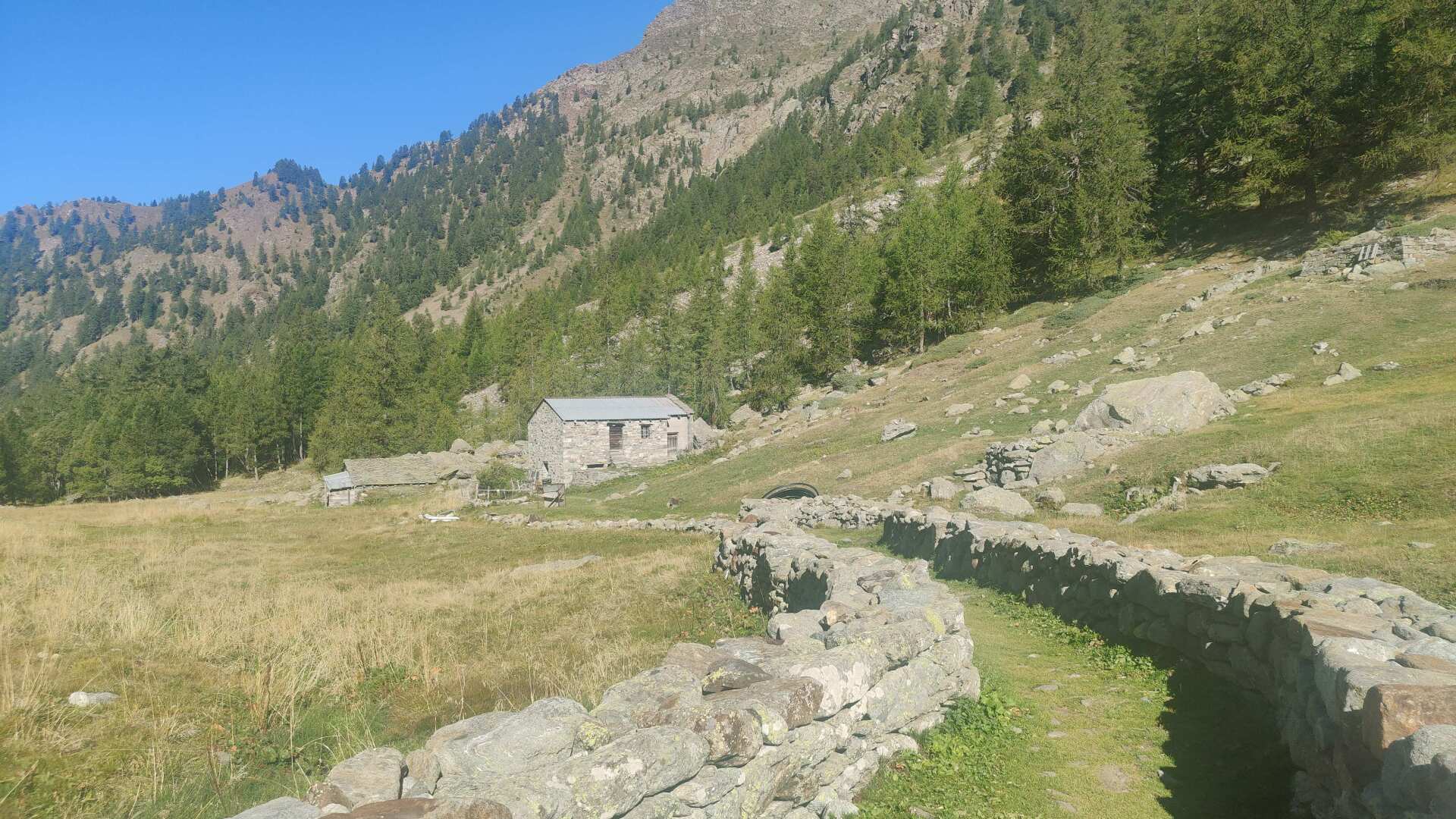
Far and wide, there are no people. Only at the Alp Bieckene do I see a flag. And indeed, an older woman is waiting for me. I’m just about to ask if she speaks Walser German. She answers with a strong ‘Yes’ and introduces herself as Lydia.
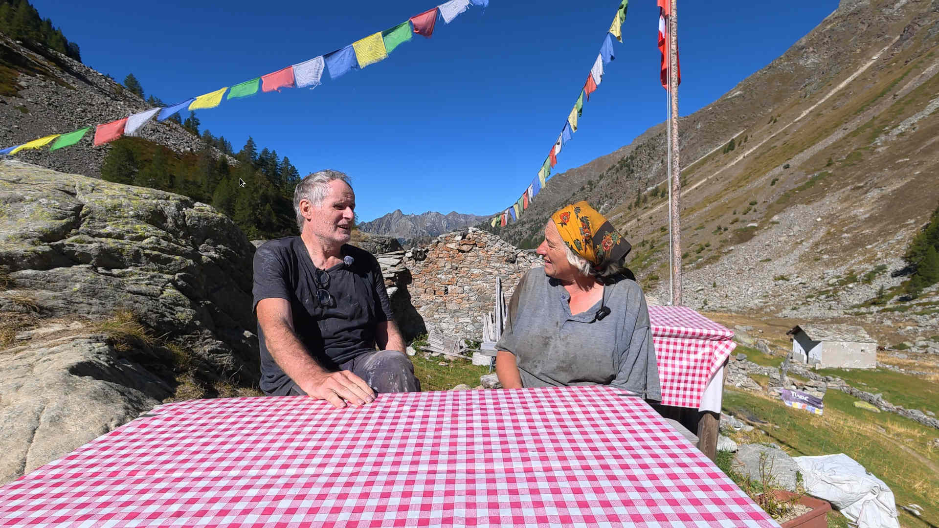
The day is saved, and it feels strangely surreal. Deep in the heart of Italy, I’m speaking the local dialect, and we’re communicating perfectly. I tell her about my project, and Lydia is happy to participate in an interview.
As I unpack the tripod, she says with a mischievous grin, “You’ve brought a whole studio with you.” To conclude, she offers me a tart with chocolate and pear, and there is water with lemon. In conversation with Lydia, I learn a lot about the last Walser people and that (almost) everything was carried up the mountain with mules.
Only a few items would be flown in by helicopter. They had 20 cows and twenty “animals we don’t milk.” I replied with “cattle,” which they confirmed with a nod.
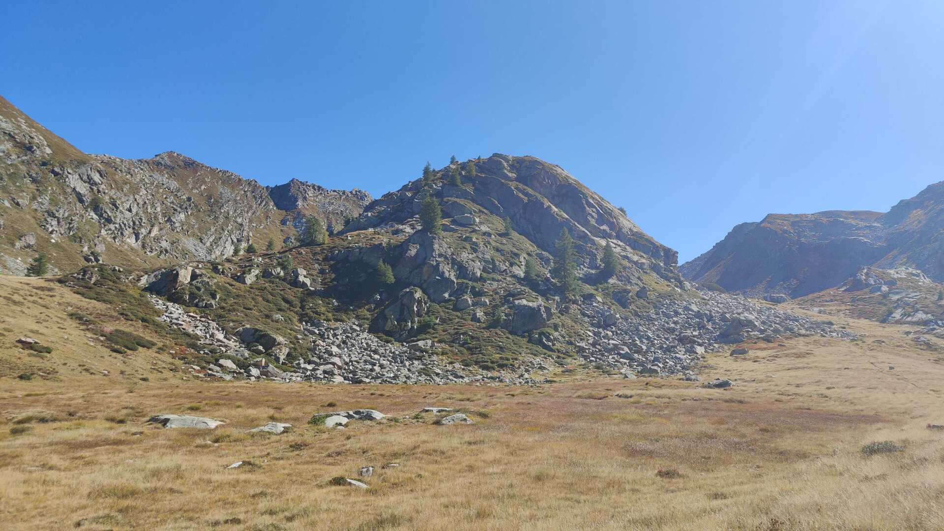
I would have liked to stay longer, but I have to keep going. The climb to the pass doesn’t feel too difficult or long. There are still about 400 meters of elevation gain over four kilometers. I’m relishing the memory of this wonderful encounter with Lydia. Thank you!
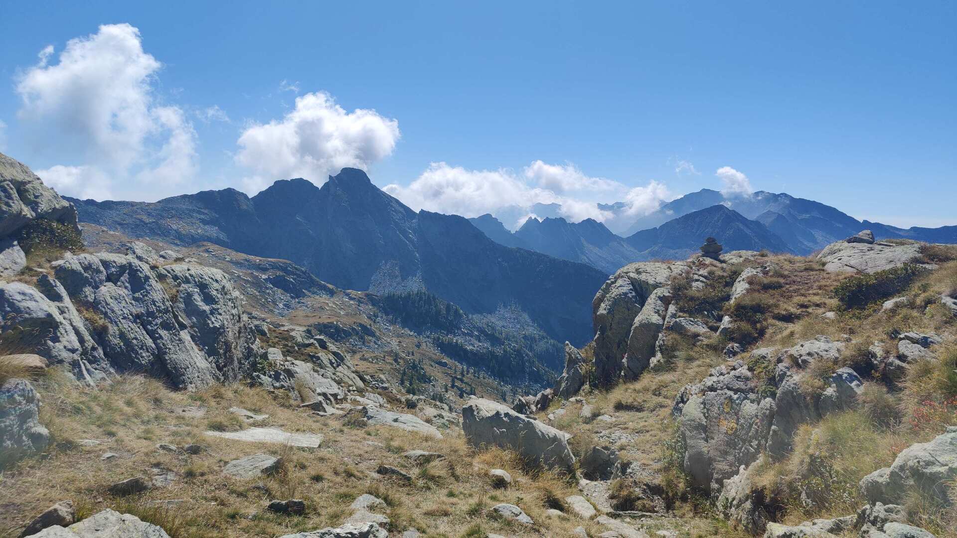
Unfortunately, I can’t quite carry the almost euphoric feeling over to the other side of the pass. On the other side, it becomes rocky and rough. I lose the trail and spend what feels like over an hour looking for sparse trail markers. I feel like I want to go down, but in reality, I’m going up.
It’s eating away at my self-confidence – and my strength. I don’t have much water left. Up here, when I finally reach the second pass, I’m greeted by fog.
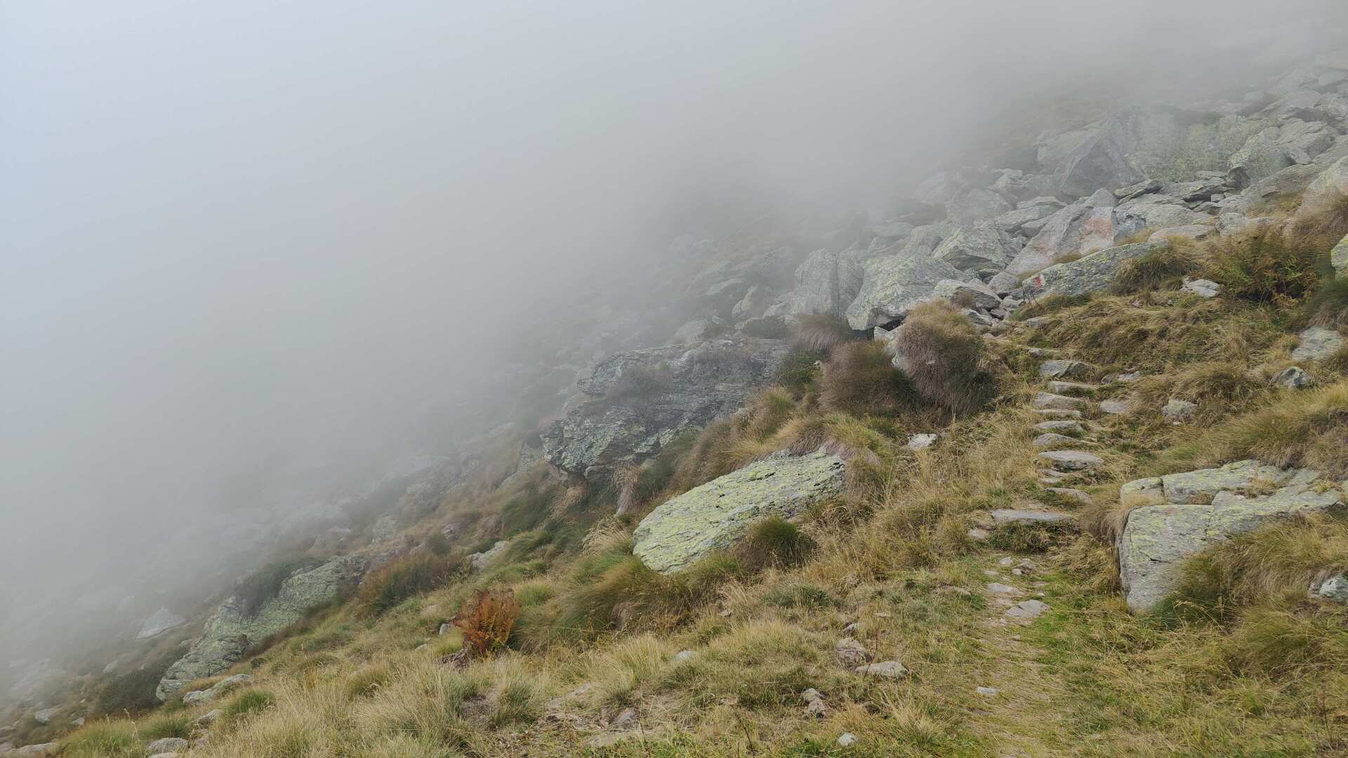
My path leads me to the Rifugio Rivetti, which is located at approximately 2200 meters. Luckily, the hut is open. Two large glasses of lemonade are quickly emptied. The later descent, however, takes longer.
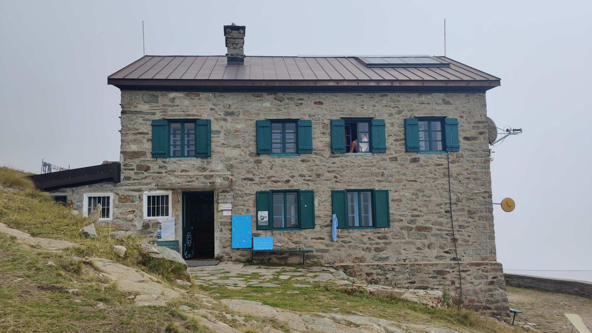
Piedicavello is a challenge that has to be earned. With a total descent of over 1600 meters at a stretch, it’s no easy feat. I’m making progress, but I can’t shake off the fatigue even during the descent.
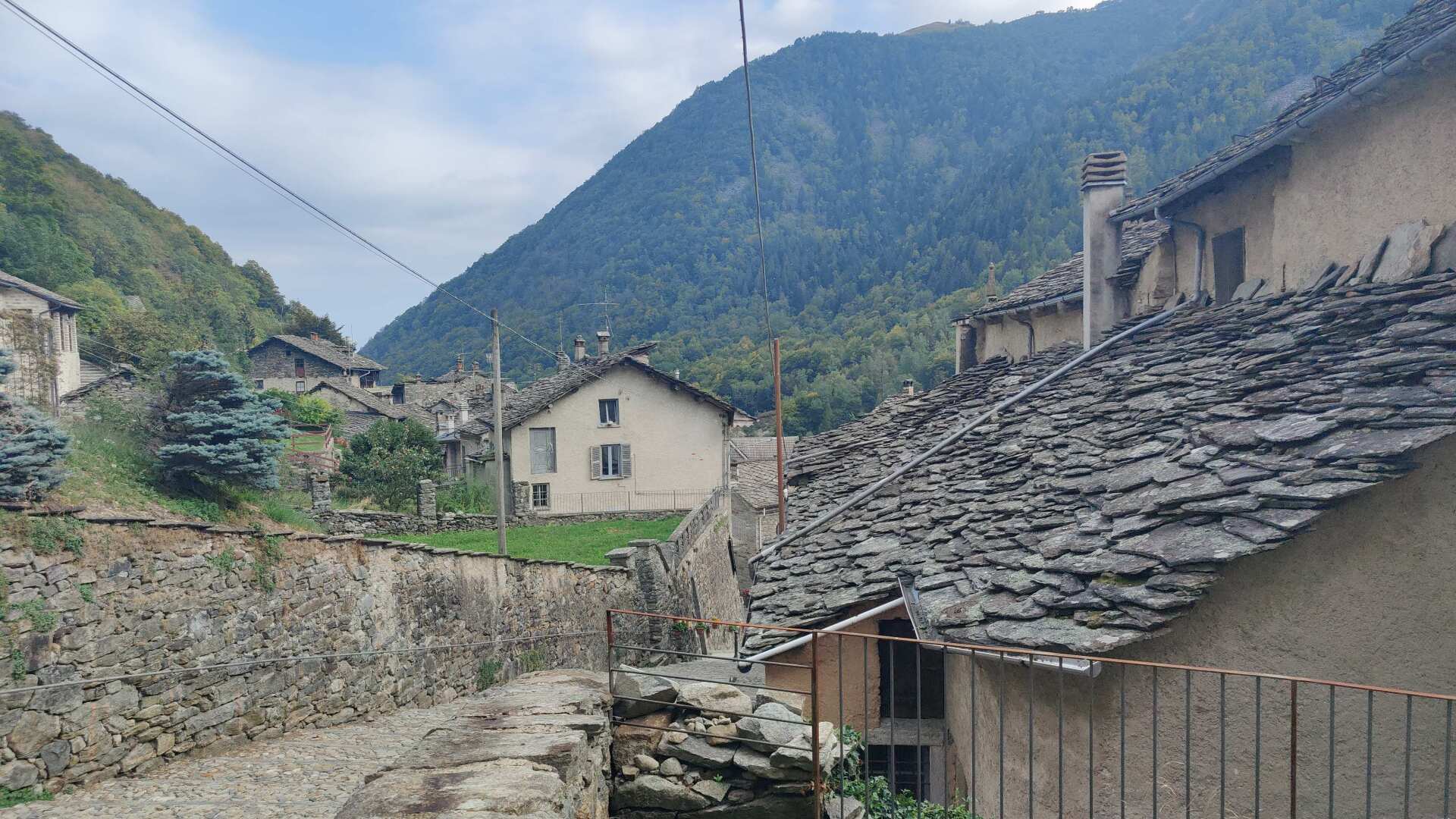
In Rosazza, there is probably the narrowest main street in Italy that runs through a town. One car can just about pass through in one direction. However, a car and a pedestrian can only pass each other if the pedestrian takes refuge in the narrow alcoves between the houses.
This should also be encouraged, as the cars waiting to pass had already been stopped for a long time at the traffic lights before the village and now want to finally move forward. Accordingly, the driving style is aggressive. As mentioned, the only way to avoid an accident is to swerve to the side.
Furthermore, it should be noted that the search for Walser’s traces is being neglected due to the late hour.
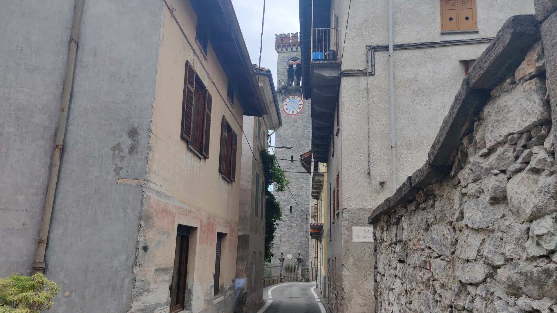
Even today, I didn’t arrive at the accommodation until half past six. To my pleasant surprise, the host greeted me in German (but not in Walser German). He works half the time at the B&B Fontana and spends the other half of his time as a musician, mostly in Germany, Austria, or Switzerland, playing piano in hotels with many stars.
The service at the B&B clearly lives up to the quality suggested by its star rating. Drinks and fruit are provided in the room, and a large bathtub with a whirlpool function offers plenty of relaxation. There’s even a sauna that’s heated and ready to use right in the room. In the end, it’s these very welcome amenities that help me forget the hard day at the end of it.
Day 28: Following the road, over highs and lows
The breakfast was delicious, but my mood is still rather low. I’m now at 750 meters, and I’m going up to almost 1600 meters. And I still feel tired, very tired.
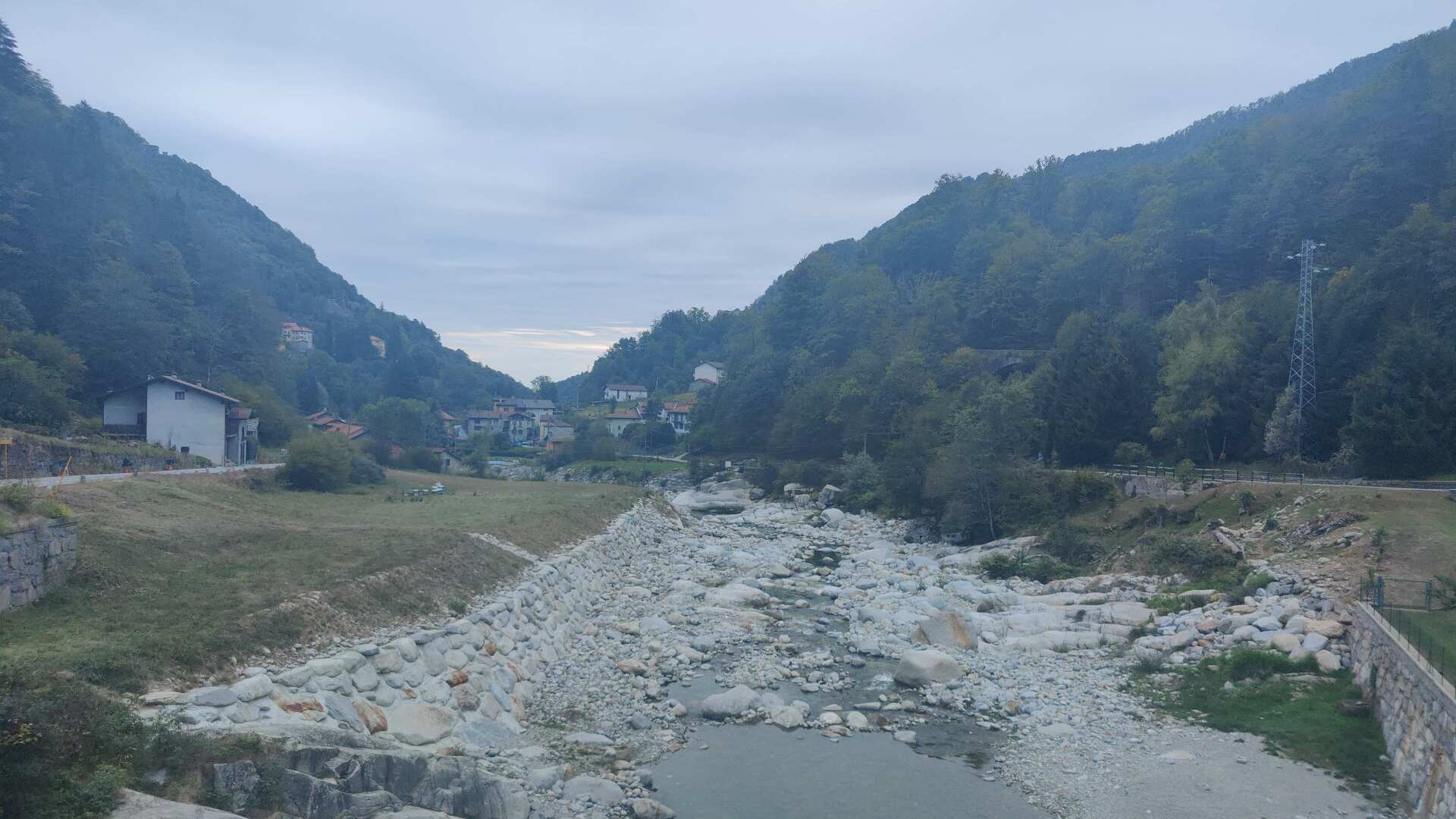
Slowly, I trudge upwards along a narrow path. I consulted the map. Contrary to my initial intention to follow the hiking trail for the entire route, it became clear to me this morning: wherever possible, I will take the road. It’s not shorter, but it will probably involve a few fewer meters of elevation gain.
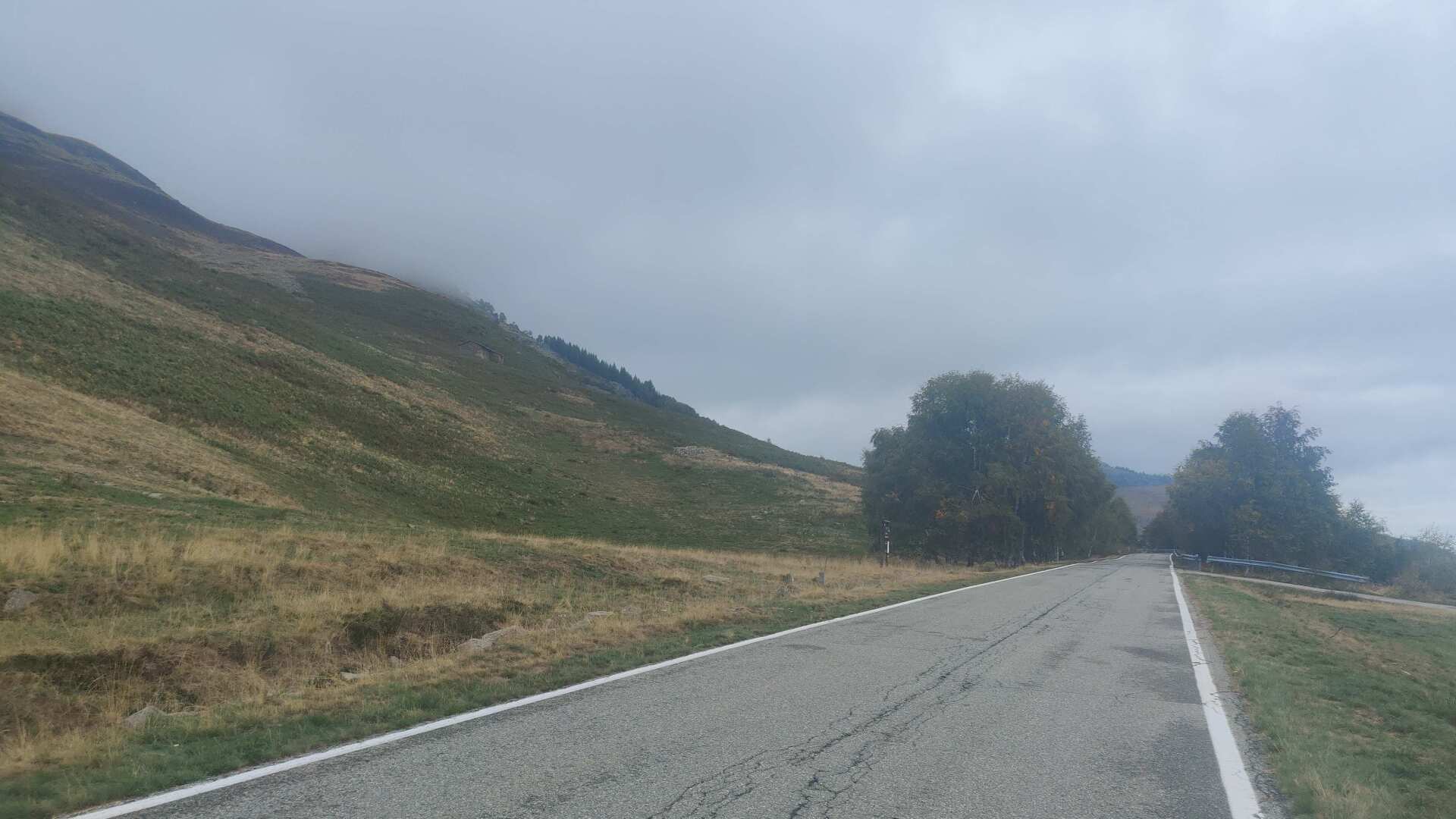
However, by the time I reach the road, the first two hours will have passed. The transition from the narrow, rocky path to asphalt is significant. Fortunately, one thing remains the same: I’m practically alone on the trail.
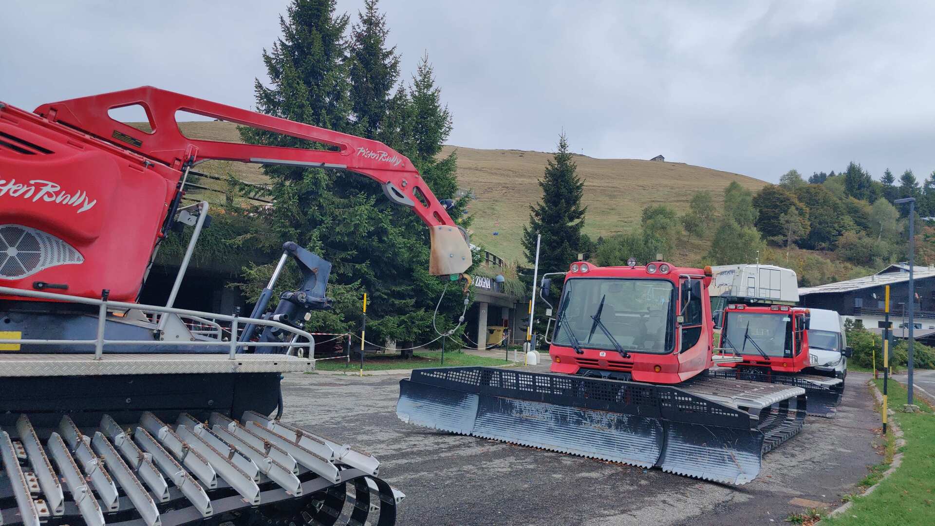
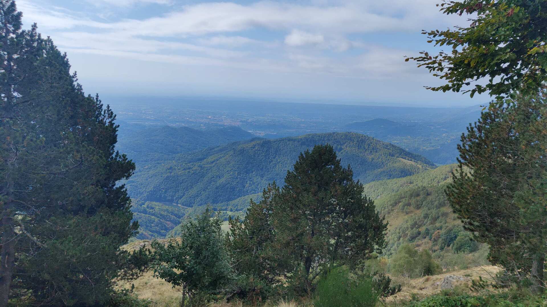
Bielmonte is advertised as the “Balcony of the World.” At first glance, I see more of a terrace for snowmobiles. However, if you look to the right, you will indeed find an impressive view stretching out over the vast plain.
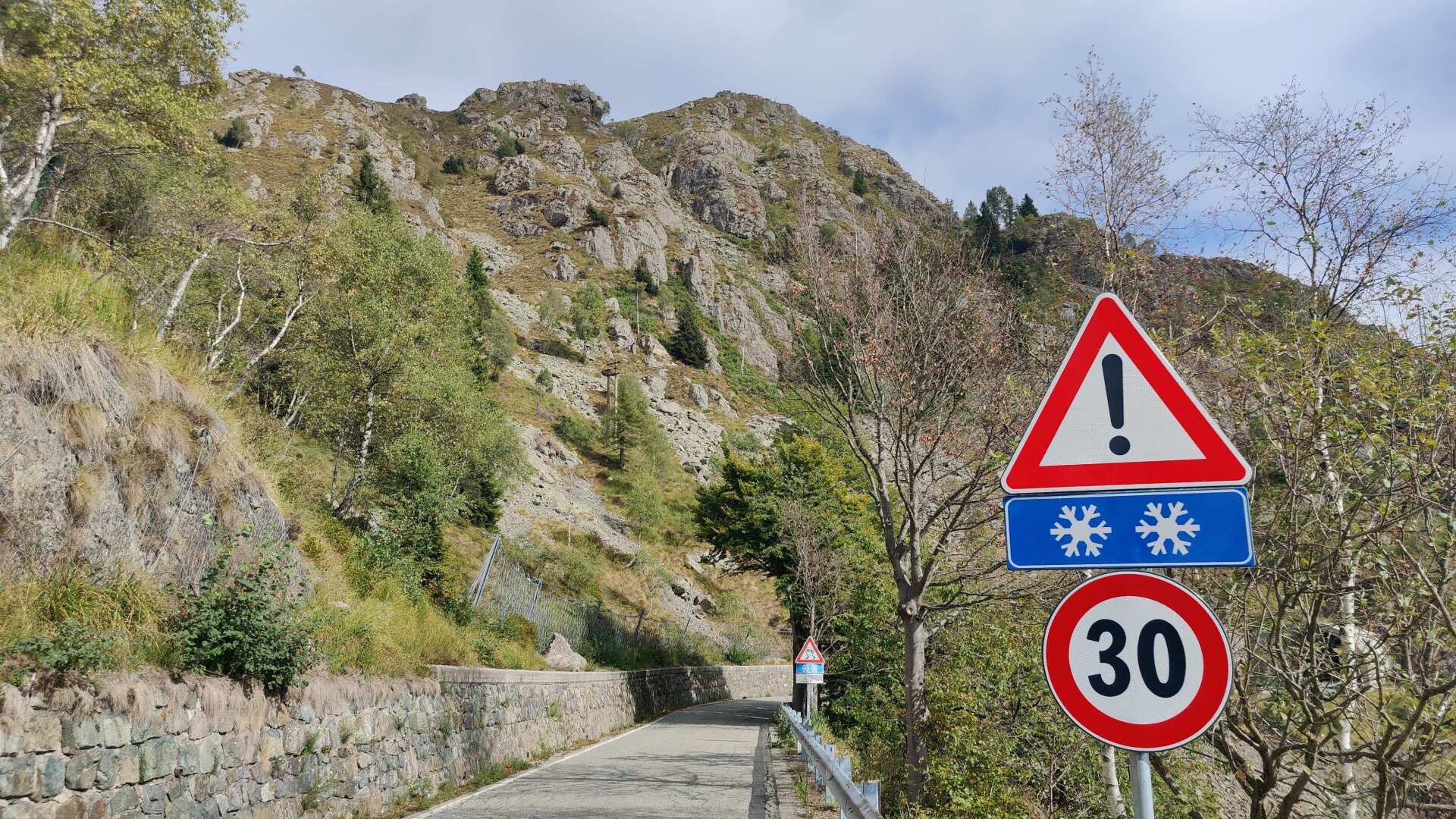
The road then gently and gradually leads downwards. Anyone who looks up will see jagged and rugged rocks. I am not unhappy to be hiking here and not up there. Especially on a day like today, the choice was and is the right one.
I’m making good progress until I reach the point where the trail leads back towards the main path. There, the scrambling starts again. Then come countless little hills, up and down. The view is fantastic, but I’m much more looking forward to a descent.
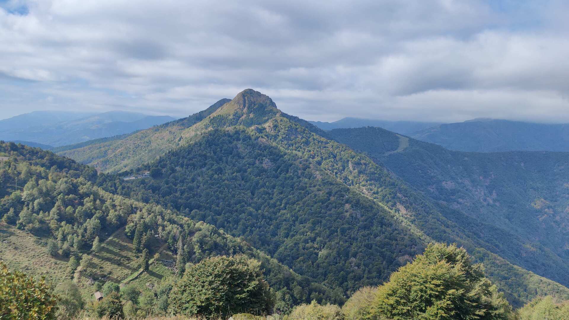
Unfortunately, this rollercoaster of a journey is dragging on endlessly. Without this annoying cold, all of this would be a dream come true. But as it is, it’s the line between heaven and hell.
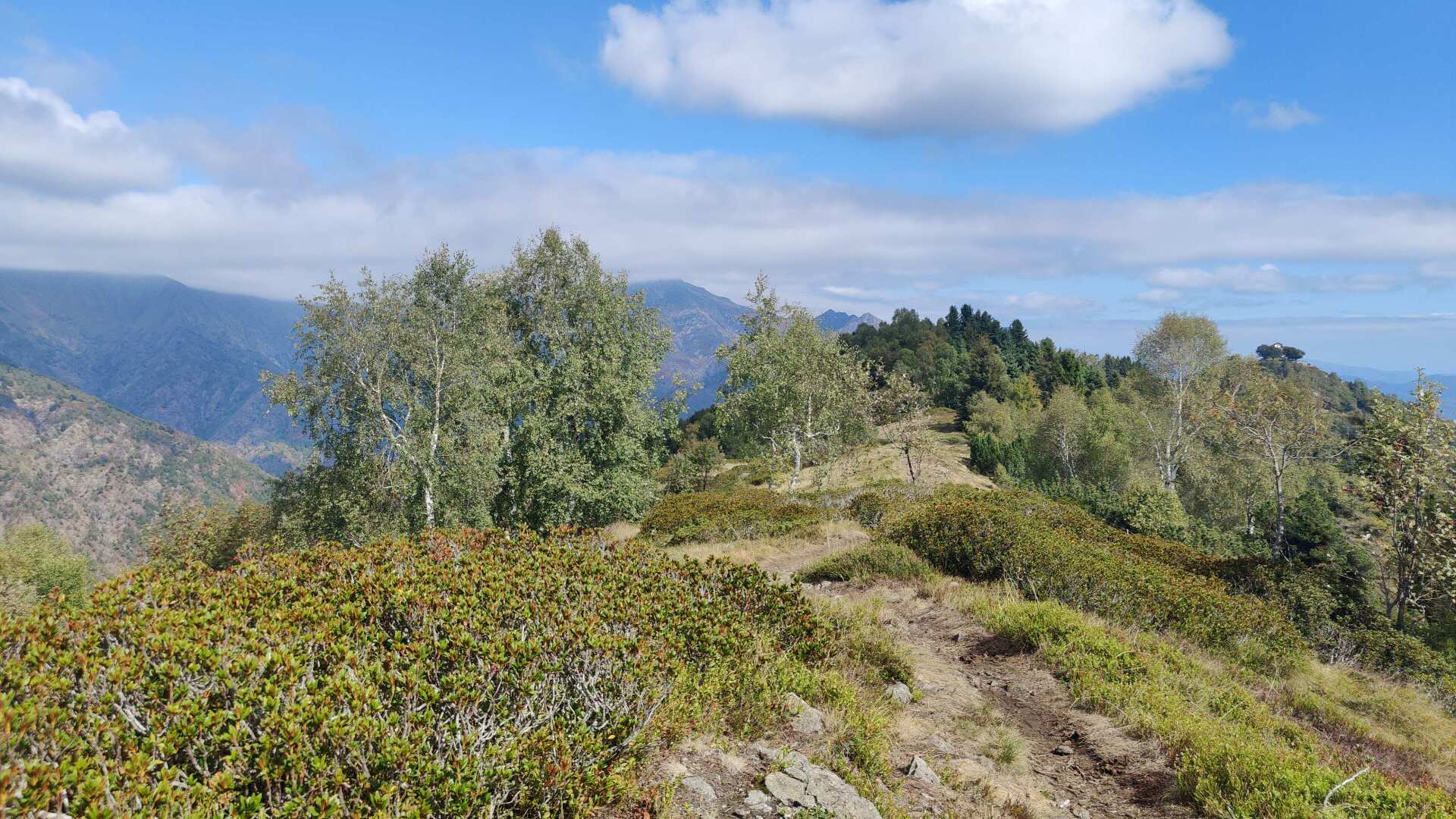
Finally, the descent begins. 1000 meters of elevation loss. Luckily, it wasn’t as bad as expected. The path is often soft and leads steadily, but not steeply, into the depths of the forest.
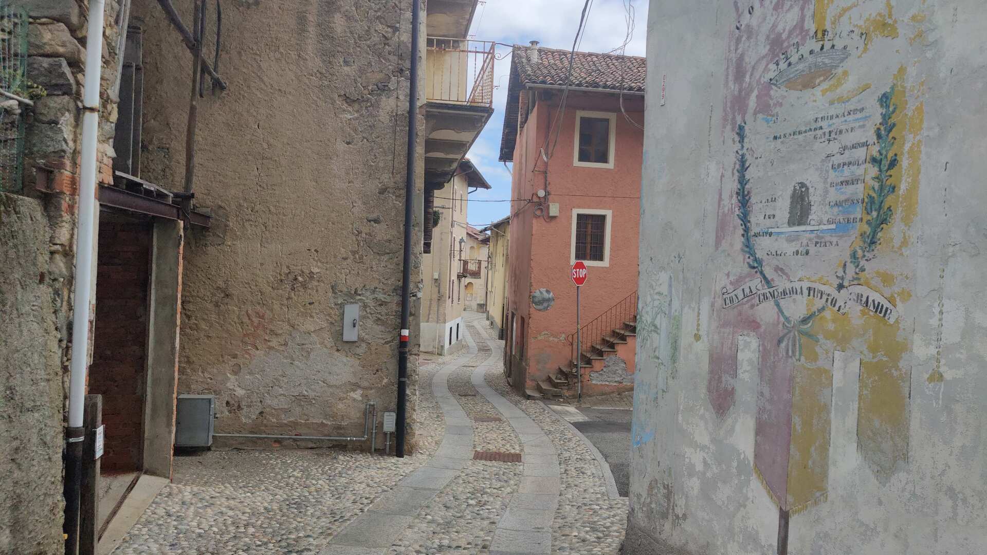
The anticipation of finding food and refreshments in the first place turned out to be a miscalculation, because there was nothing there. As beautiful as Castagnea is, there is no place to stop and eat. Instead, I encounter barking dogs in an oversized enclosure that stretches for several hundred meters.
Fortunately, the fear that the fence might eventually have a hole in it did not come true. Four huge dogs against a hiker with two short sticks, it would have been a hopeless gladiatorial fight in ancient Rome. And Nero wouldn’t even have had to move his finger, the dogs would have taken care of it first.
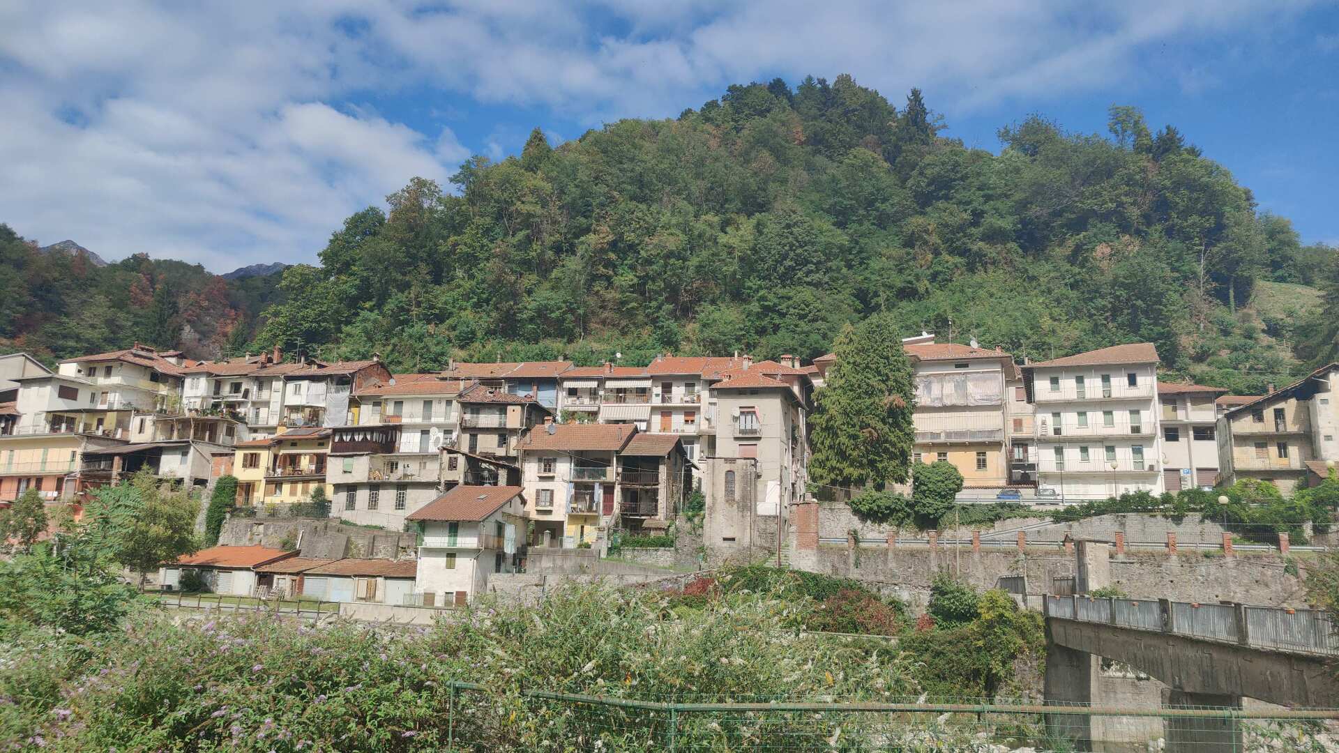
In Coppola, there’s finally a restock. At the first kiosk, I buy drinks and snacks. The woman directs me to the vending machine outside. I pay 2.60 for two drinks. Since I don’t have any coins, I put a 20-euro bill into the machine. I receive a receipt indicating the amount owed, but there is no change given.
Nobody needs to complain. As long as the kiosk is open, the change is inside. Well, if the store had been closed, it would have been a very expensive purchase.
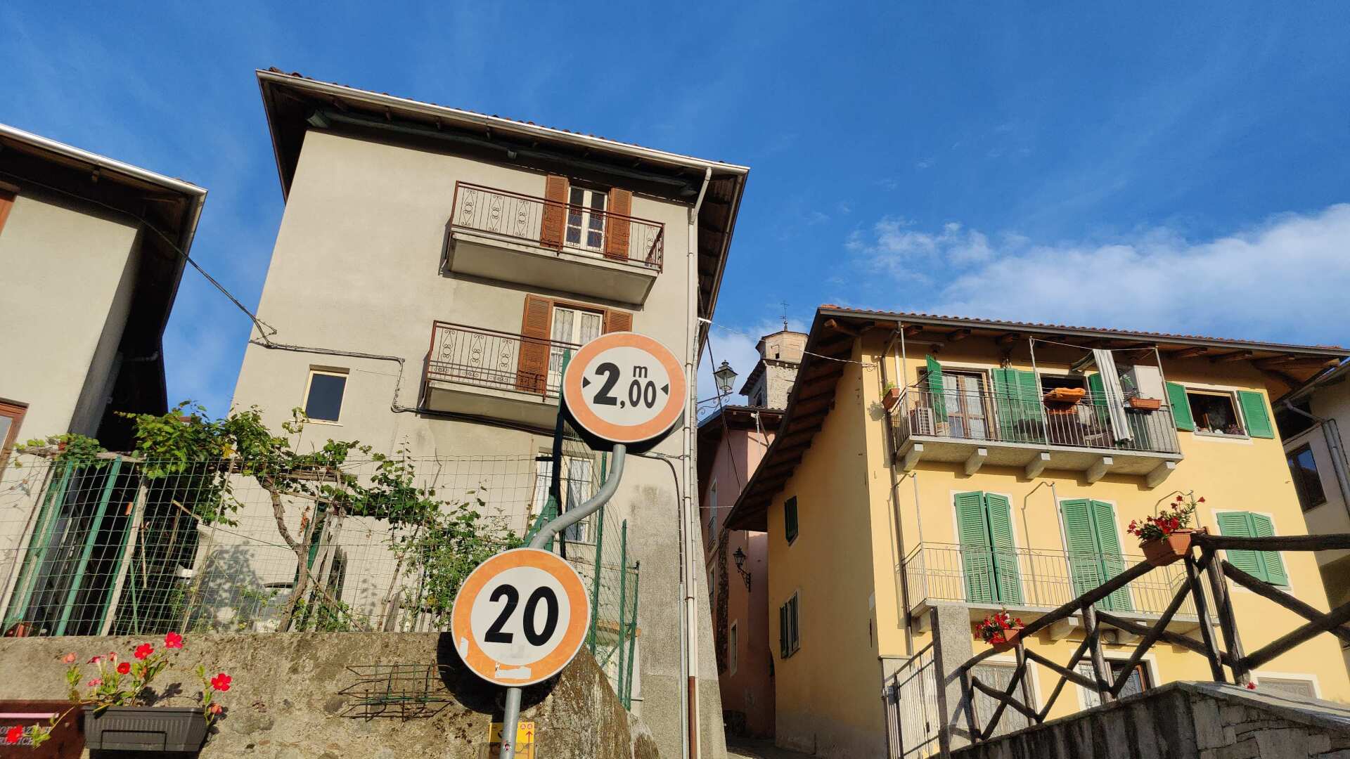
I’ll run along the road again until I reach today’s destination. As tired as I am, I’m calculating the difference between the uphill and downhill sections. With 150 fewer meters uphill and 600 meters less distance, the main road is the obvious choice for today. In the end, it’s still almost 30 kilometers and probably 1500 meters of elevation gain.
Day 29: Not short, but horizontally aligned
According to the planned route, I was supposed to cover 37 kilometers and 1900 meters of elevation gain today. The evening before, I wondered who on earth planned this route. I looked for alternatives and found a flatter option. It’s not shorter, but it has over 1000 meters less elevation gain. It often follows the road, but at this point, I don’t care.
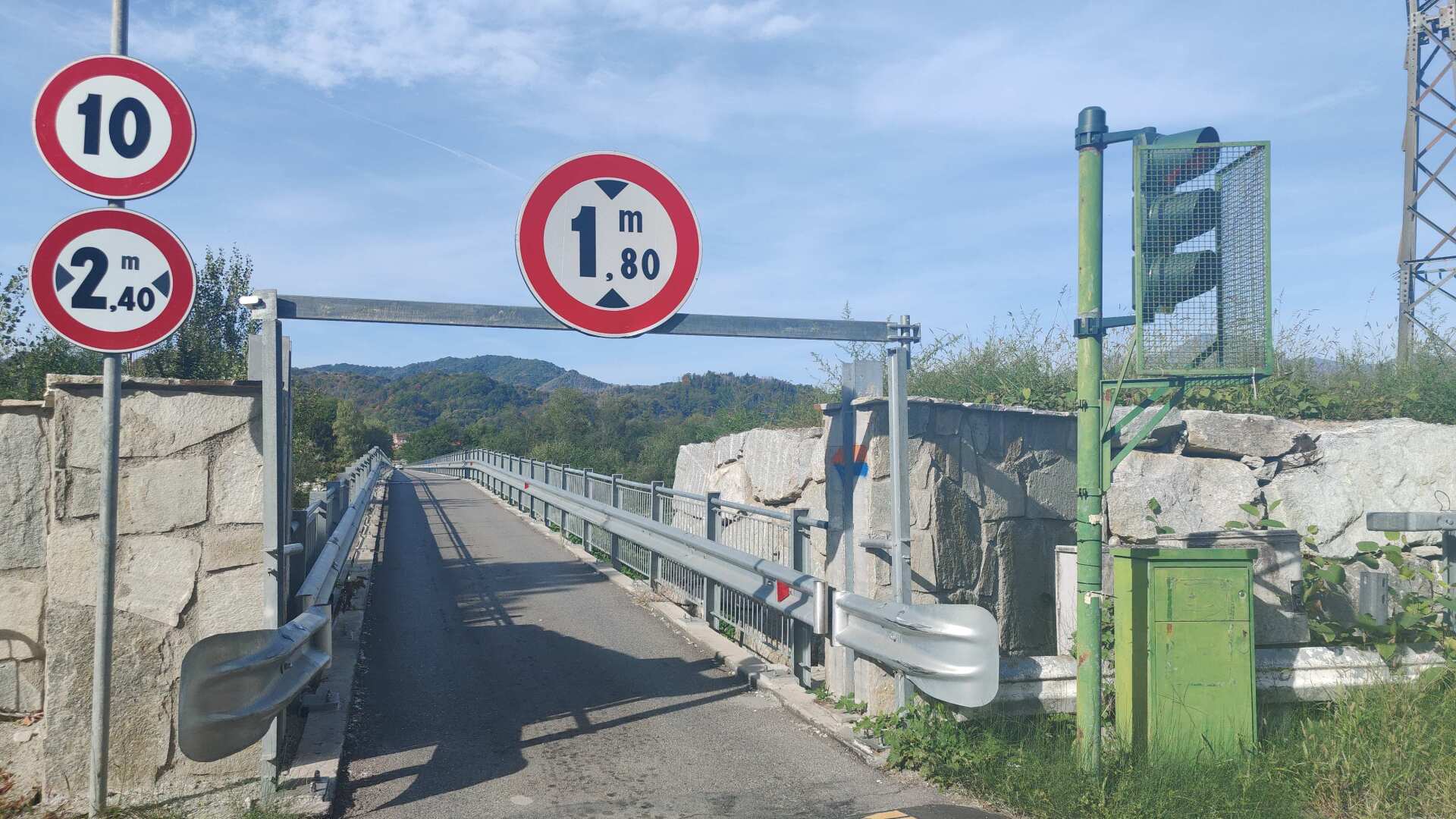
In principle, it would have been possible to travel 35 kilometers. But the route planner simply wouldn’t let me go that way. I found the reason on site, or rather, before the bridge. The bridge, which is about 1 kilometer long, is just barely wide enough for a vehicle to pass. The height is limited to 1.8 meters. And to prevent anyone from trying, there’s a barrier at the top.
A speed limit of 10 kilometers per hour would have been manageable for me, and probably for the cars too, but it felt like they were all speeding along at 50. In short, since there was absolutely no space for pedestrians on the side and even the vehicles would definitely not be driving within the permitted limit, not passing through or following the route planner’s advice wasn’t such a bad thing after all.
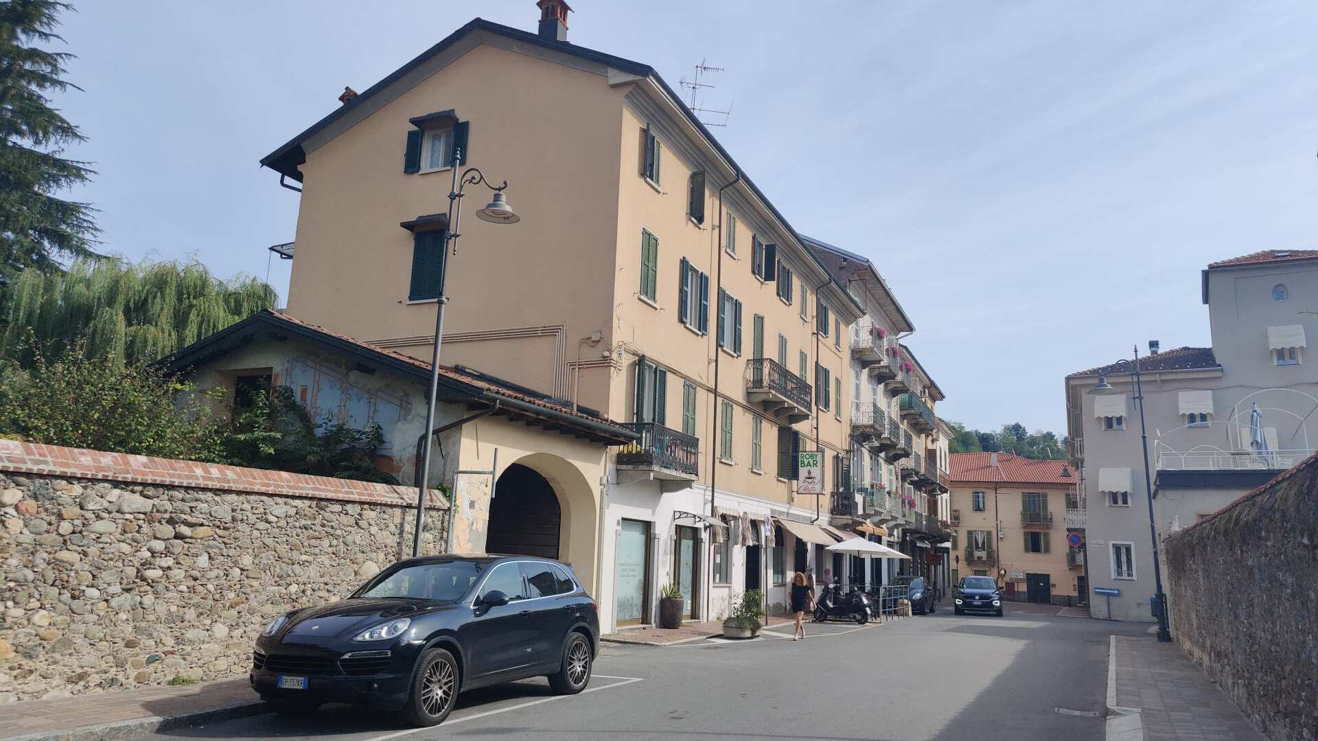
So, my route leads from Borgosesia down the road to Grignasco. It’s neither charming nor free of cars. It’s simply the gateway to a path leading to Lake Maggiore if you want to avoid climbing a good 1400 meters in altitude. Apart from that, the path from Grignasco onwards is very beautiful.
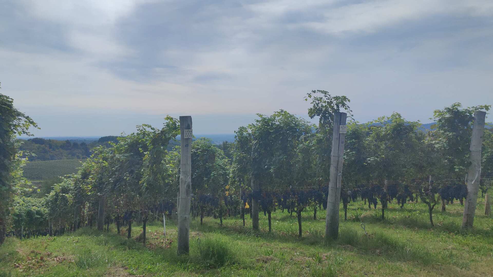
After a short climb, the path leads through extensive vineyards. Although sometimes on asphalt, it is almost traffic-free. Moreover, the path passes by the Santuario di Boca.
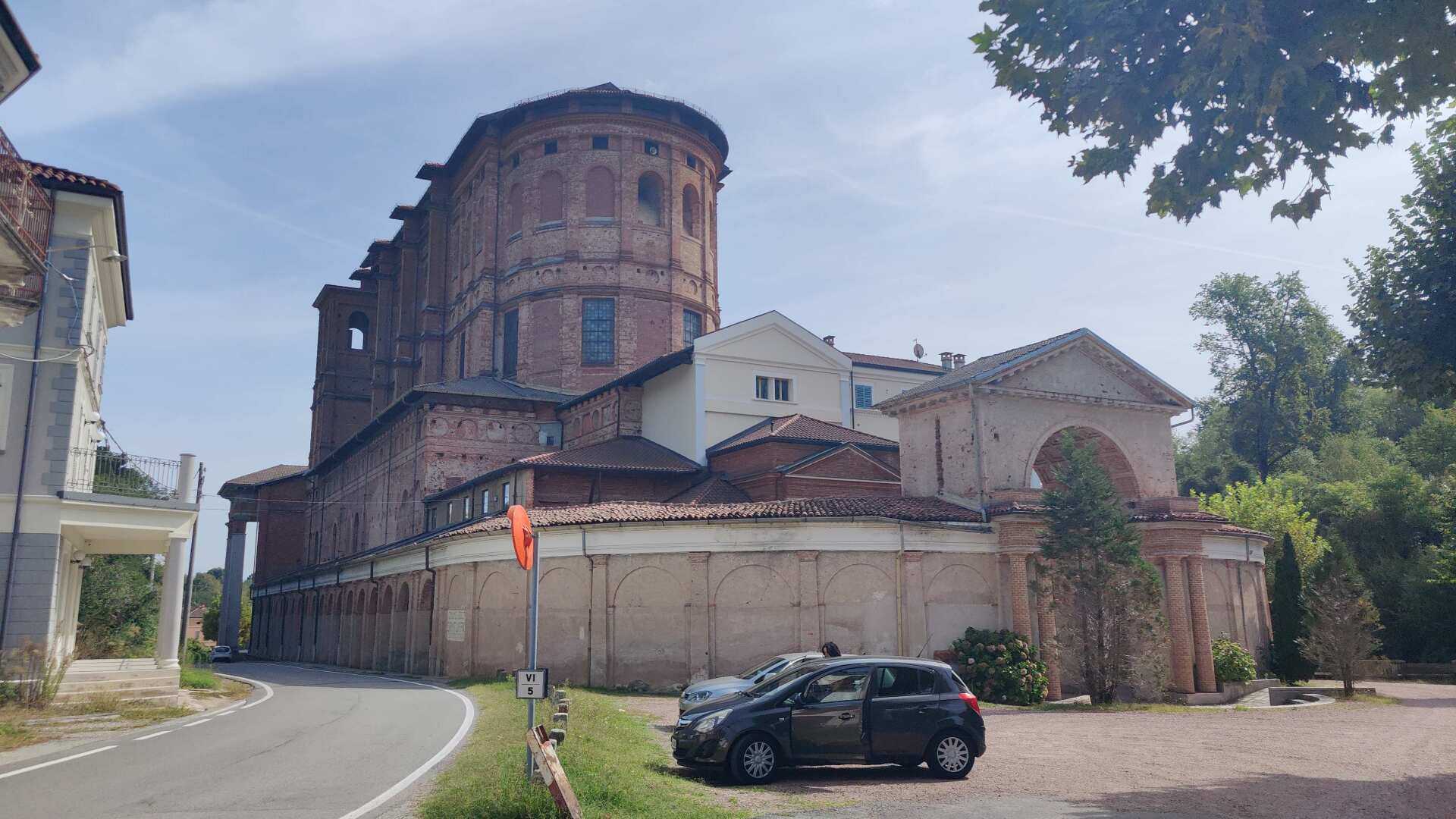
A tall, slender building looms imposingly. At first glance, I would have guessed it was an industrial complex, but at the very back, there’s a chapel. It’s not small, but compared to what awaits you on the other side, it’s rather modest.
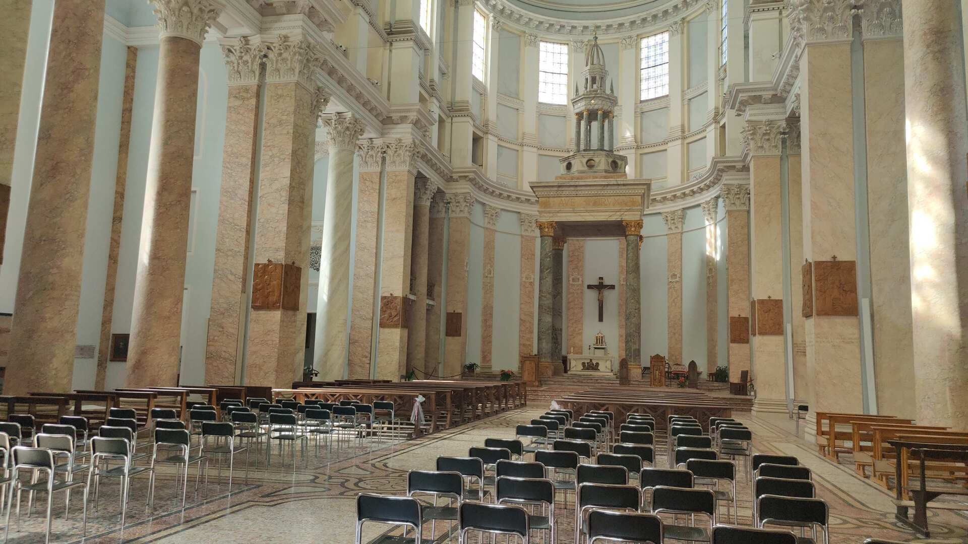
On the other side, a monumental site awaits visitors. The Sanctuary of the Holy Cross of Boca dates back to the 16th century. A painting created to console after a fatal accident is said to have attracted so many pilgrims that first a small church, and later a larger one, had to be built.
In the 18th century, a very impressive structure was built, but it collapsed in 1907. Afterwards, between 1914 and 1918 (during World War I), the church was rebuilt, and during the reconstruction, 10 meters were removed from its height.
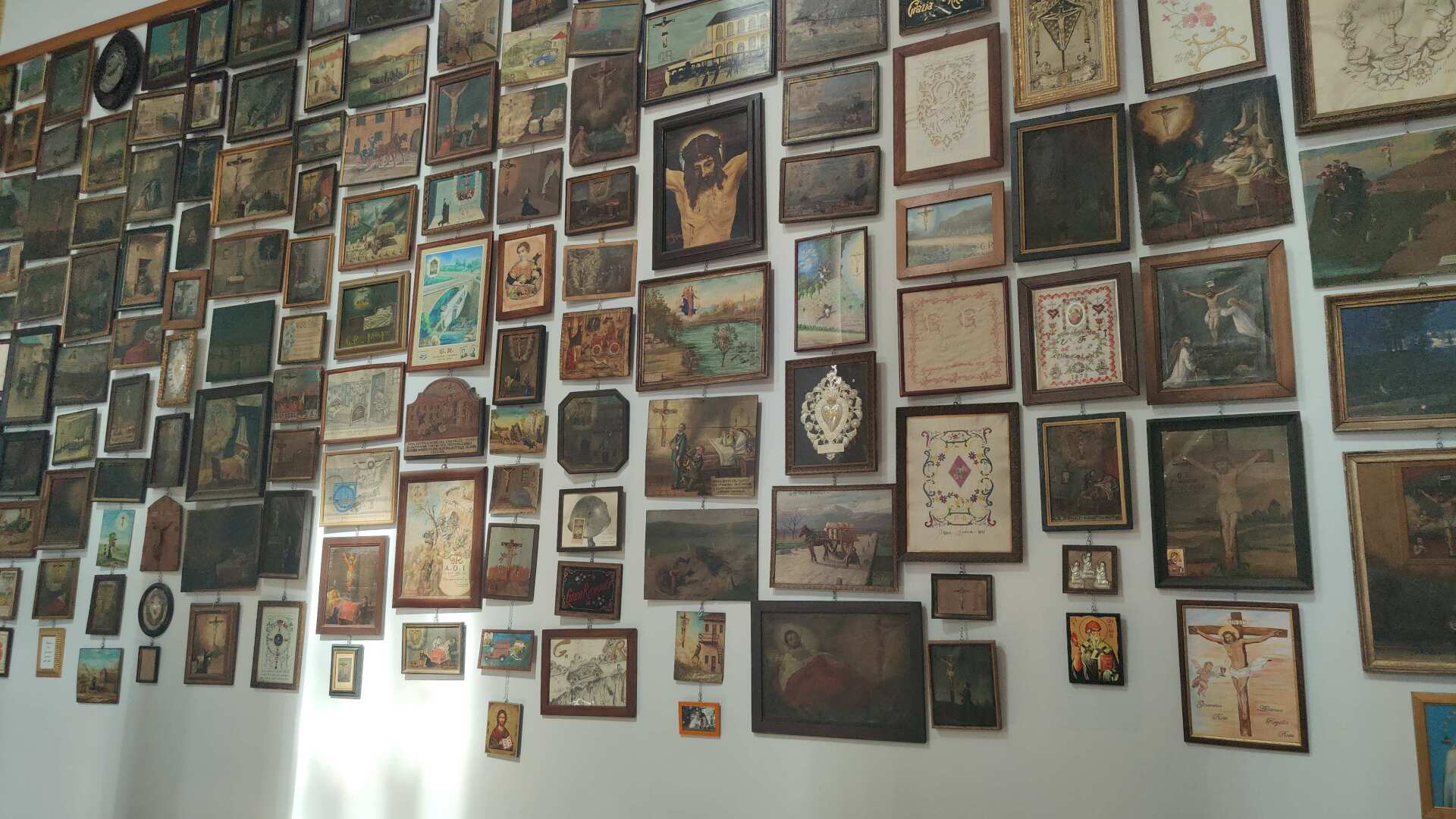
This unusual history of the church building can still be seen in the structure today. The back part of the church was expanded, but not in a single, cohesive manner. The facade in front is very monumental. Overall, the location is very special because it is in a remote area where one would not expect to find such a building.
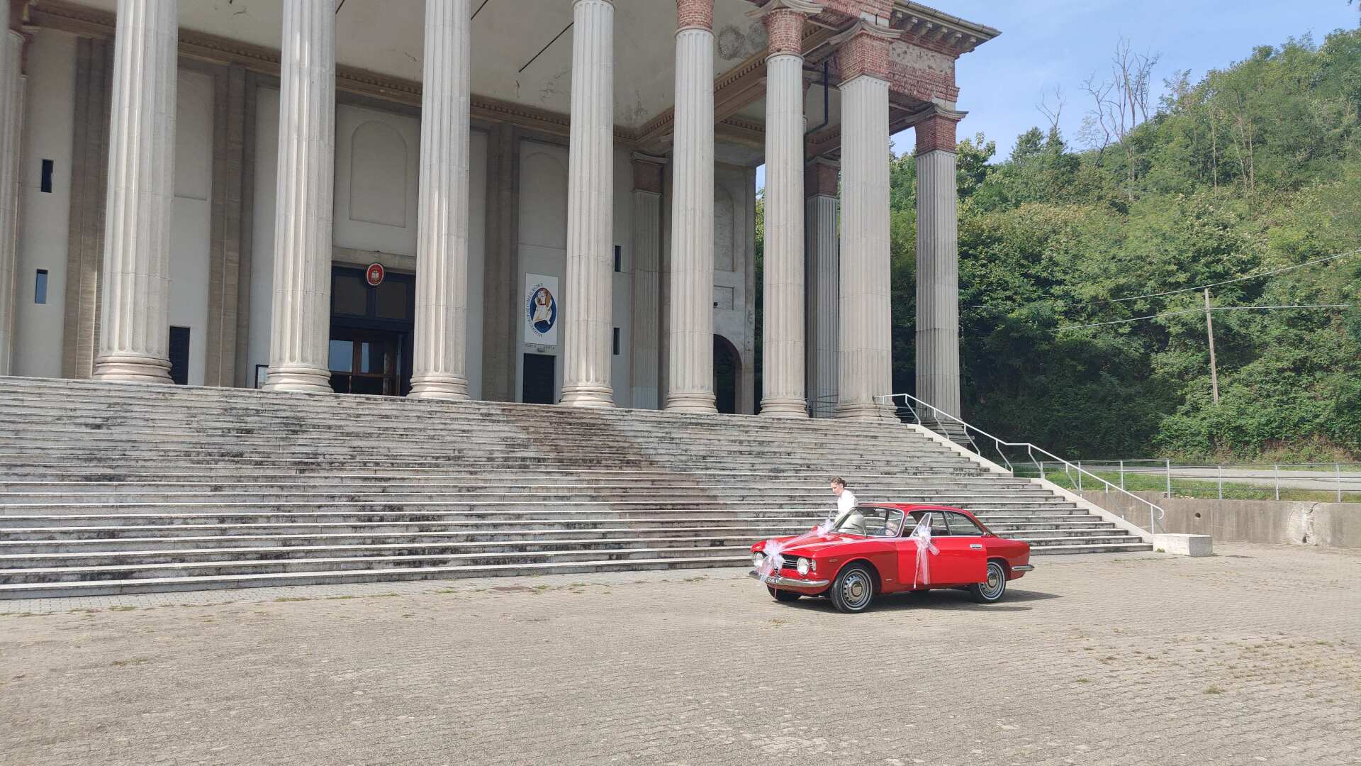
During my visit, I almost missed seeing a couple get married. At least I was able to catch a glimpse of them as they drove away in their stylish vintage car.
The cacophony of the remaining guests was likely as loud as the church bells, which, according to legend, once drove away thieves who were attacking a merchant, and which is now considered a miracle of the Santuario di Boca.
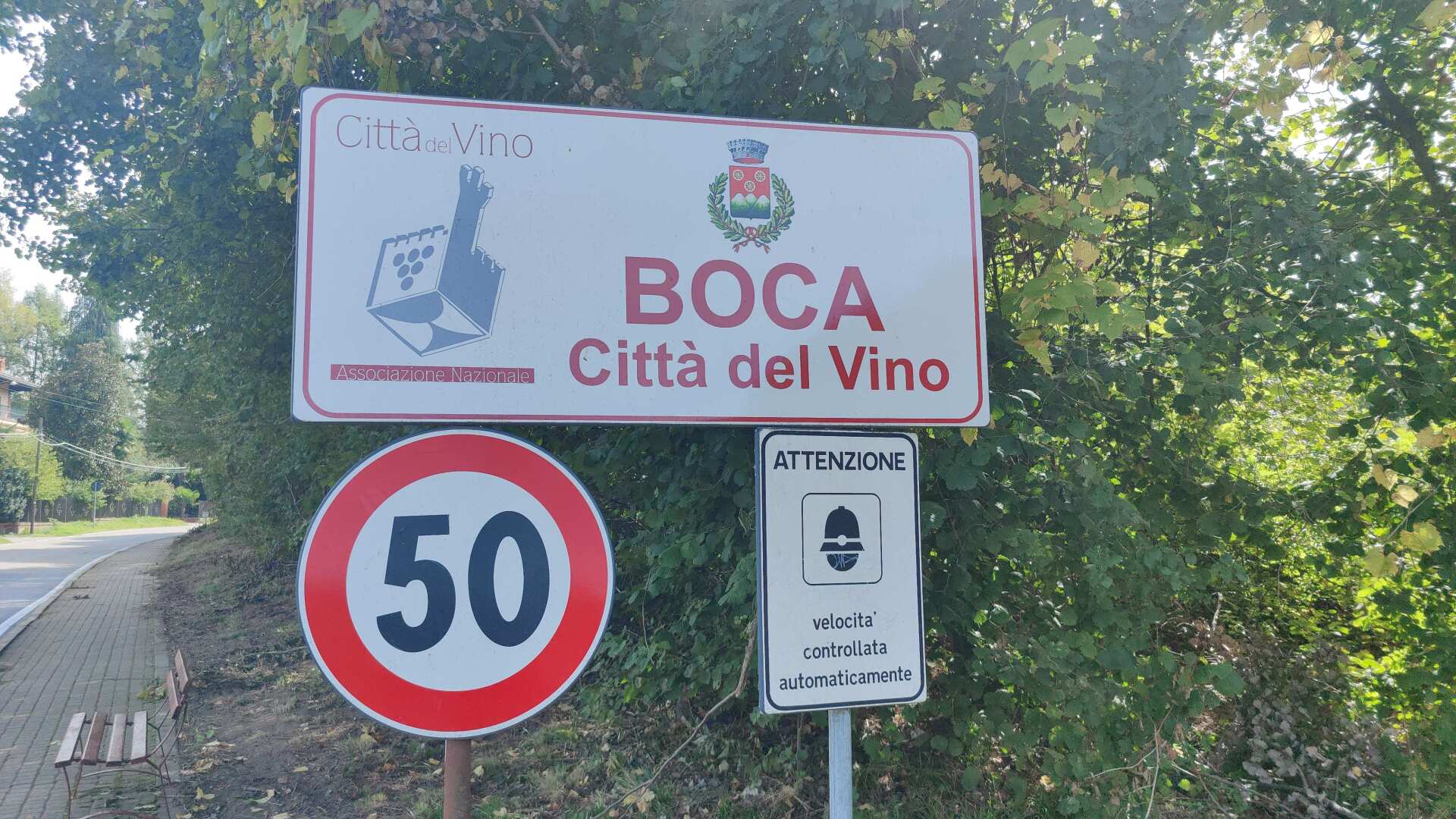
My hike is less about spectacular sights and more about the daily realization that there are no shops or places to stop for refreshments, even in nearby Boca.
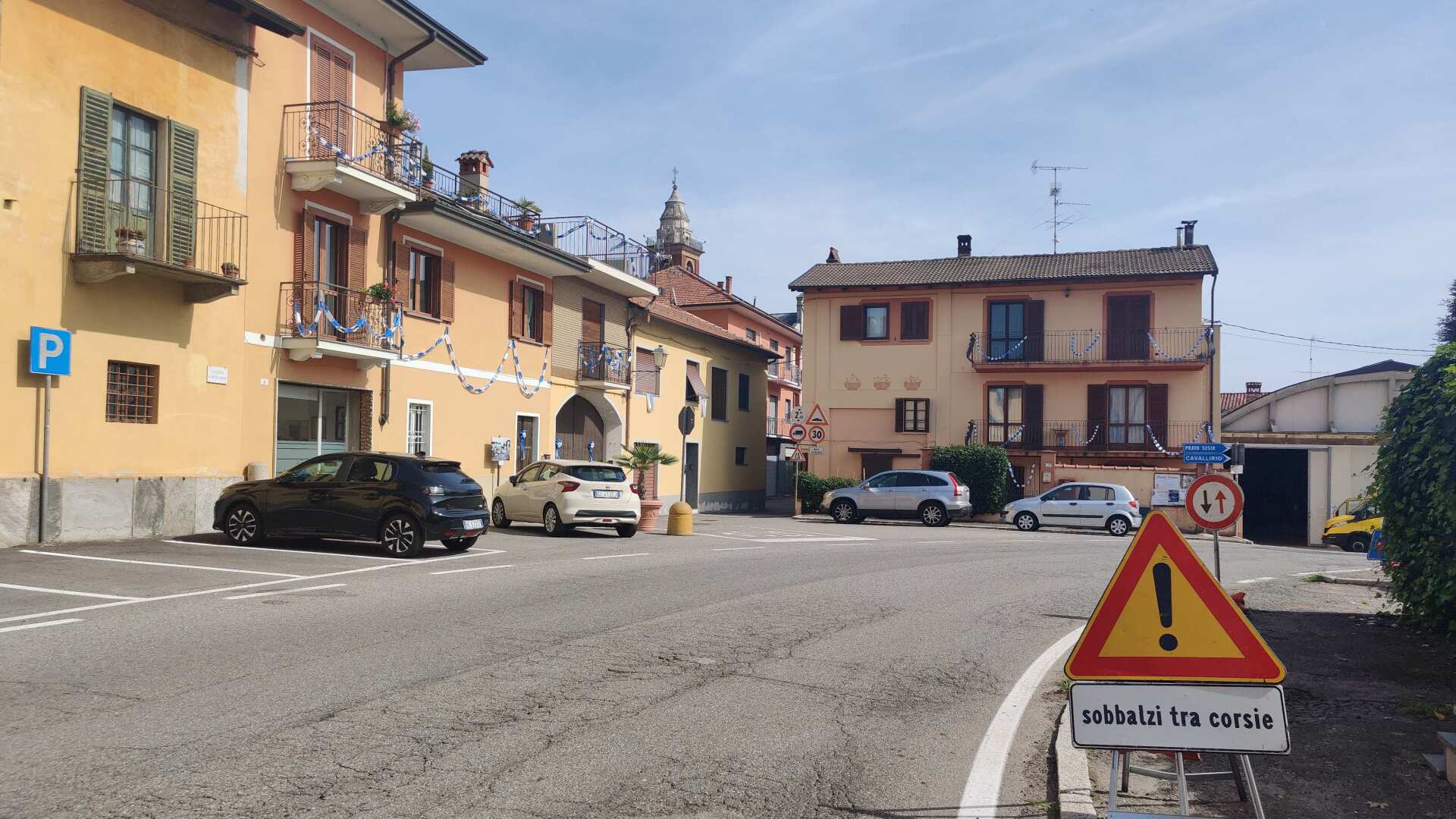
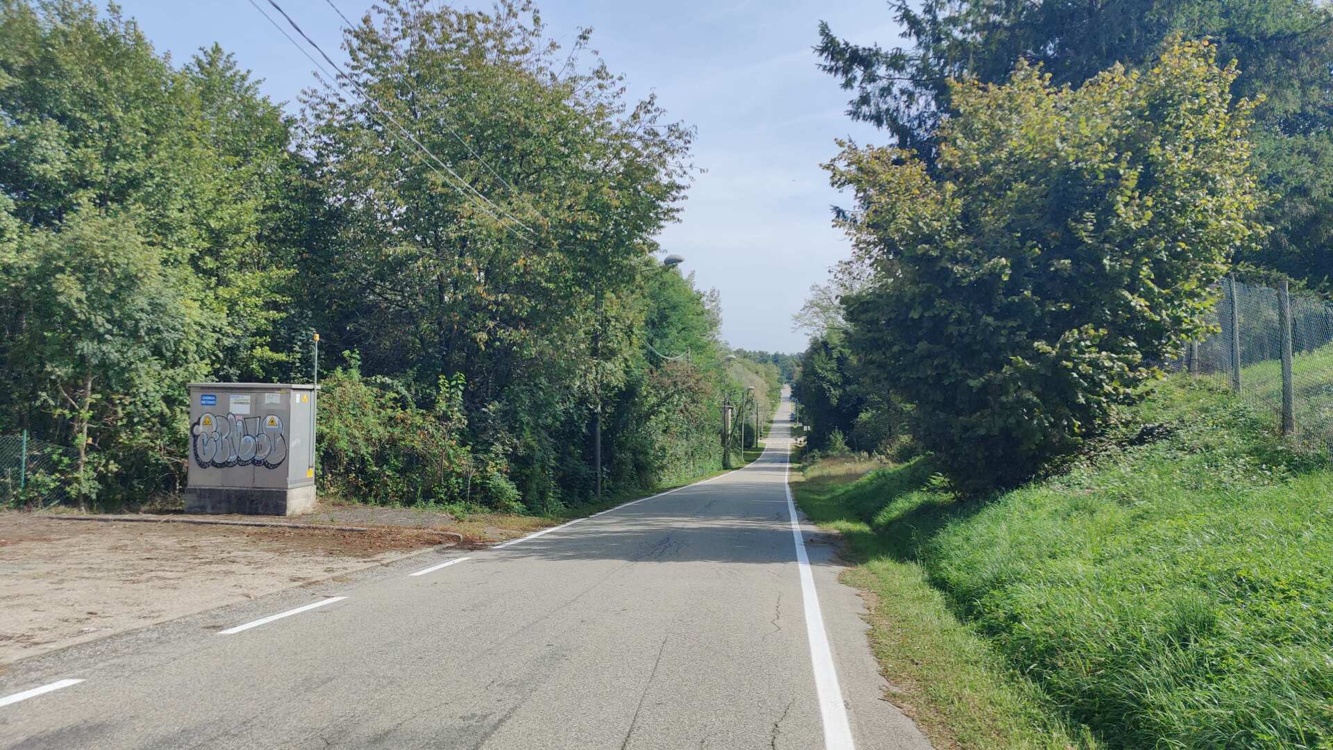
Before I finally reach truly dreamlike paths, there’s a long, straight country road that leads me on a detour, even as far as Sweden.
The last 15 kilometers are absolutely beautiful. The path leads across meadows, through small forests, and along romantic little streams through the gentle landscape.
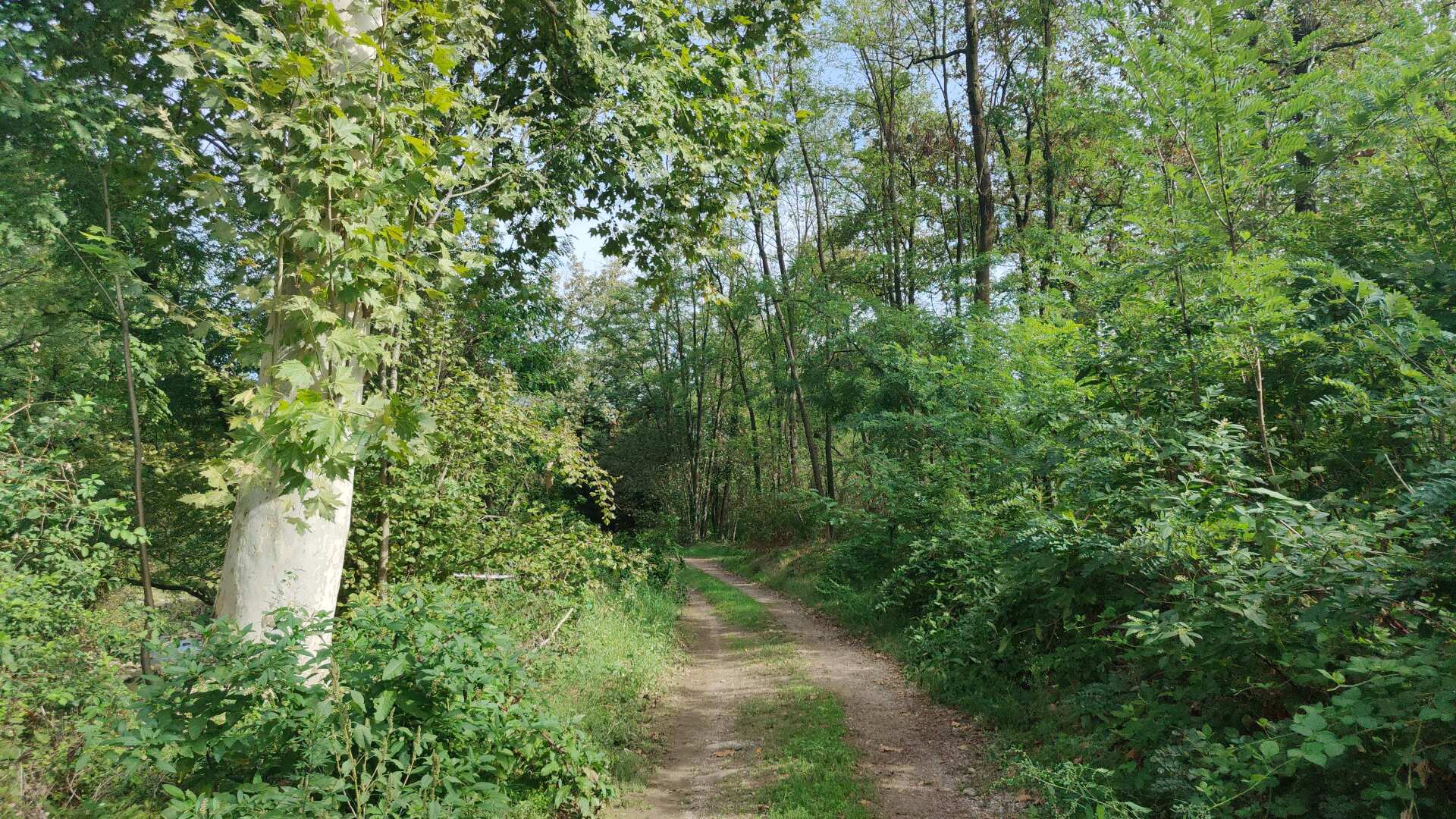
The mountains are far away. And eventually, even if it’s late, there will finally be the cool delight of a generous serving of ice cream at the ice cream parlor. It might not quite fit with the pictures here, but in the end, the hiker doesn’t live solely off nature.
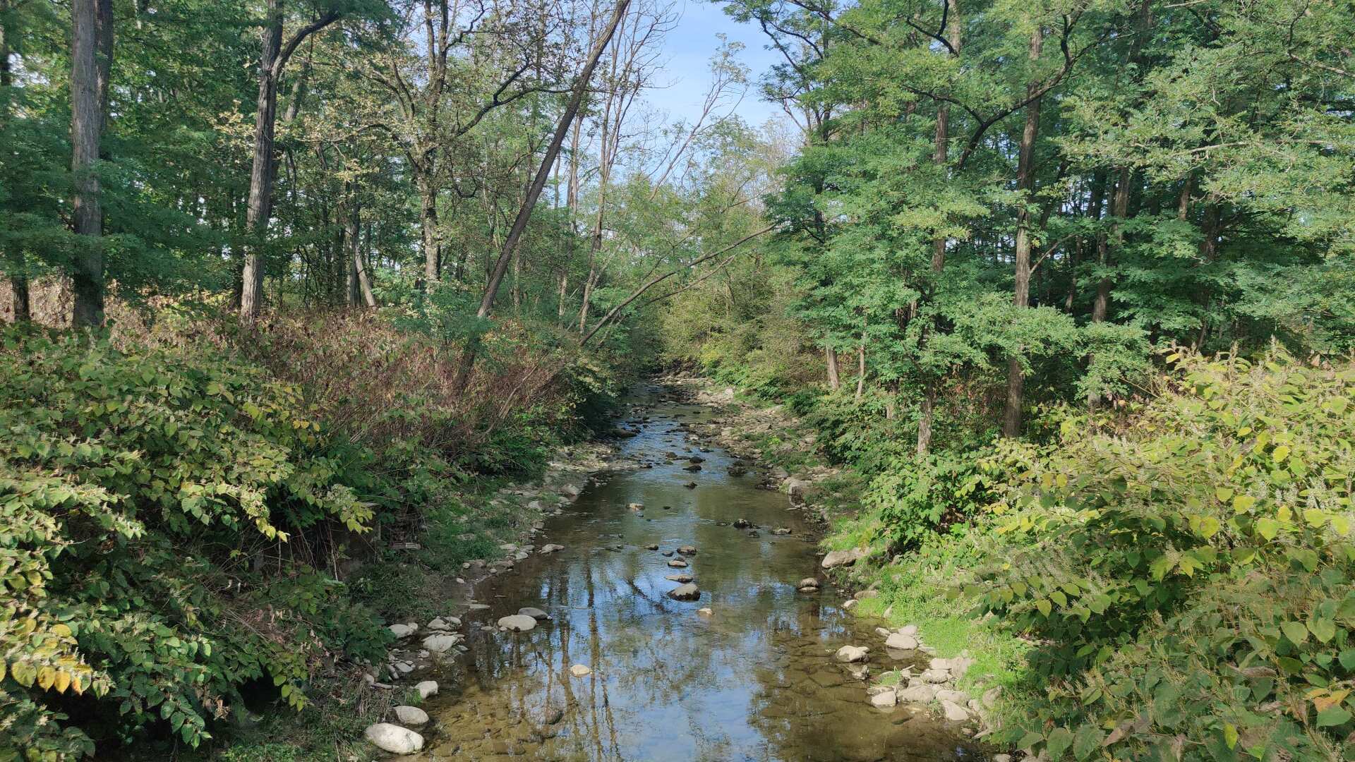
Furthermore, the idyllic atmosphere is abruptly interrupted when I begin to have some difficulty finding the way towards the end of the stage.
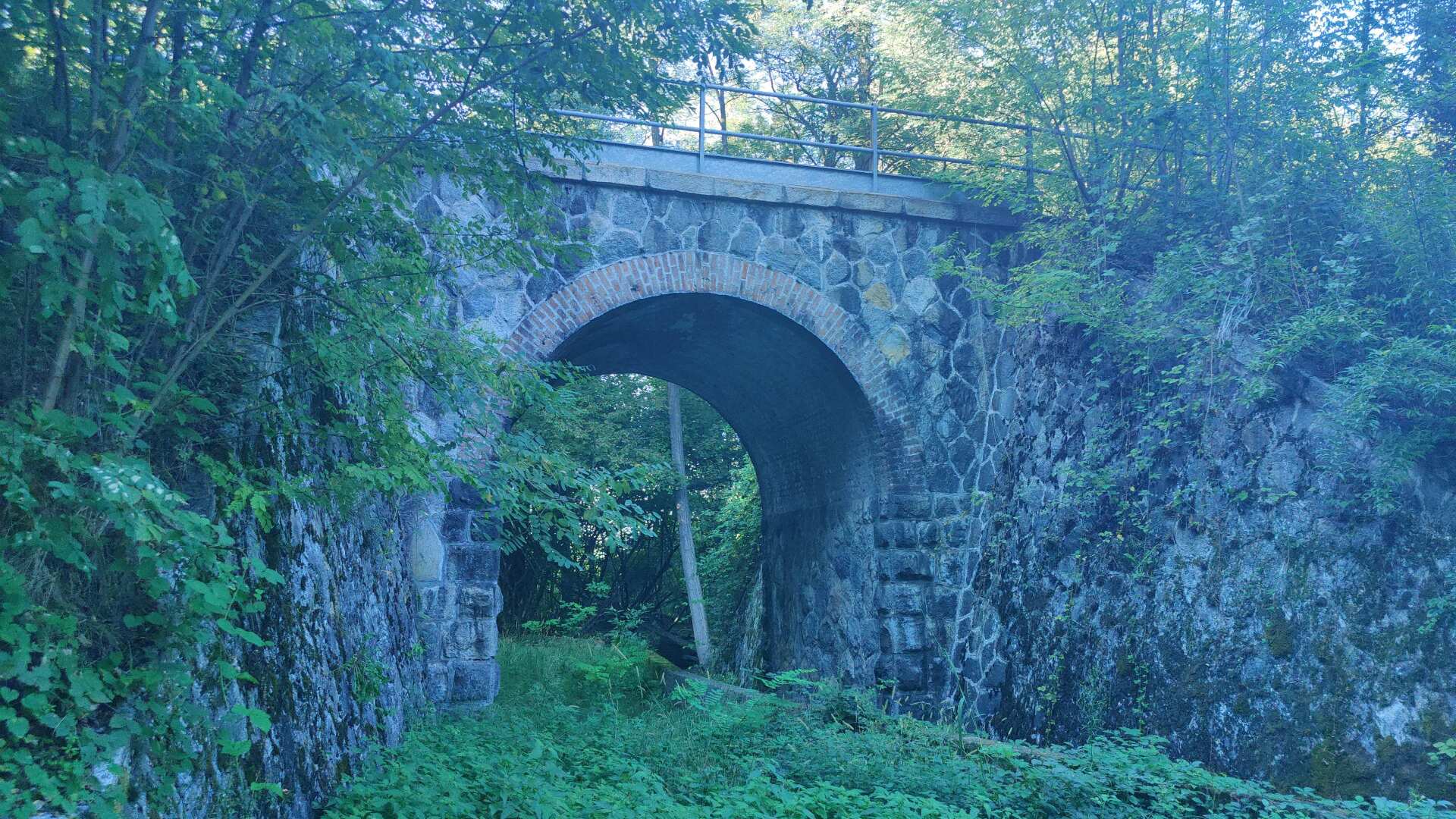
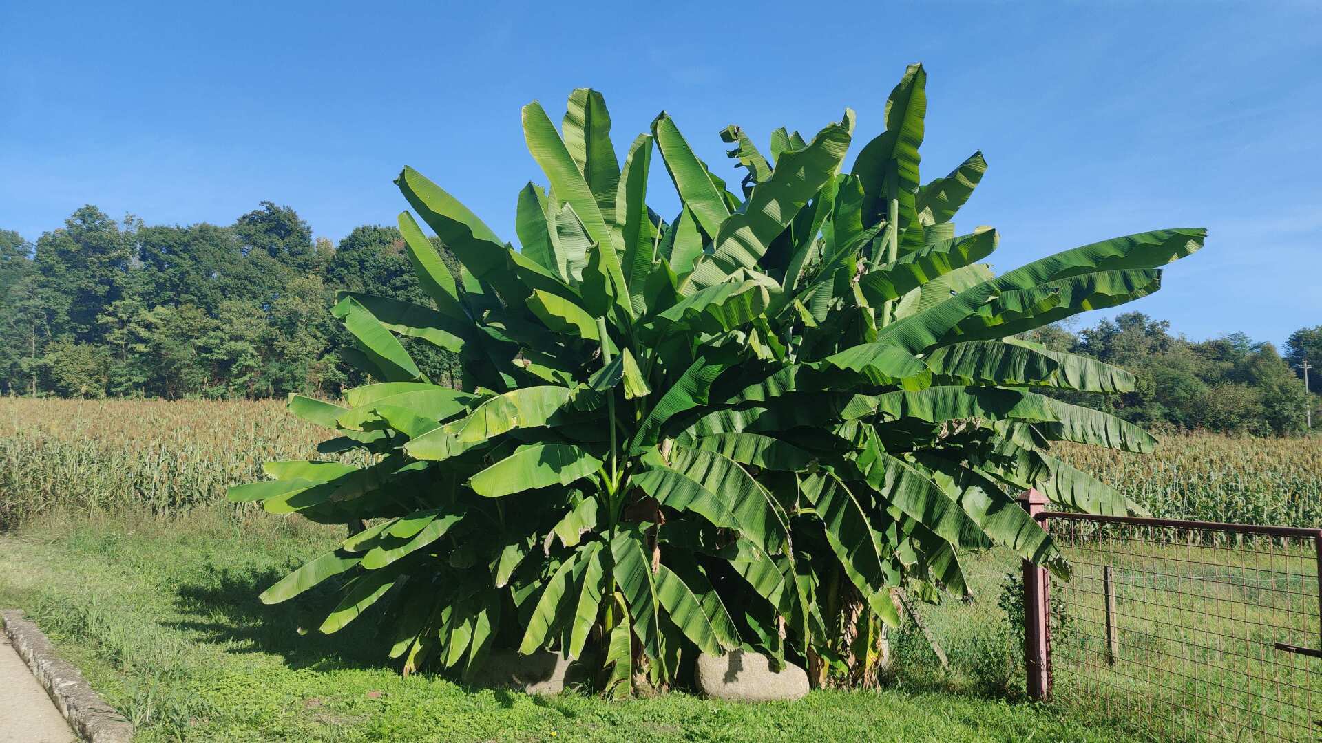
Only with the help of the navigation system can I find the path or the gate back to the country road. Then, again, there are banana trees, although without any fruit, but they are quite large.
In the end, I unfortunately only get back to the accommodation around half past six. Shortly before that, I catch a glimpse of Lake Maggiore. Tired and exhausted, I consider in the evening whether I should continue running or take a break. The train station would be just around the corner. It’s dangerously close, making it tempting to give in to the urge to take a break when I hadn’t planned one.
Around 11 p.m., because I can’t fall asleep, I cancel my accommodation
bookings.