There are still four days left until I’m back in Bregenz. The weather forecast for the last two legs isn’t very promising. Long-lasting rain showers are expected. In the end, it wasn’t as bad as feared, but it was still strenuous until the very end.>
Day 39: Roman Road and Landeck
Autumn is becoming more and more palpable with each passing day. In the morning, it gets lighter later, and the temperatures are dropping. You can already feel the dampness on your feet shortly after starting your walk, or after just a few steps.
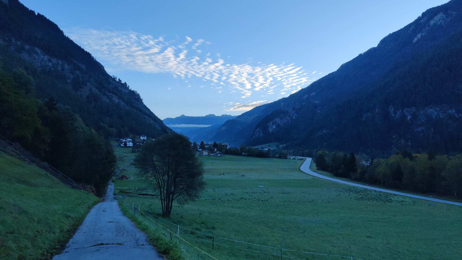
Okay, after more than 1100 kilometers, my second pair of hiking boots are also quite worn out. In that sense, I’m glad for the valley path.
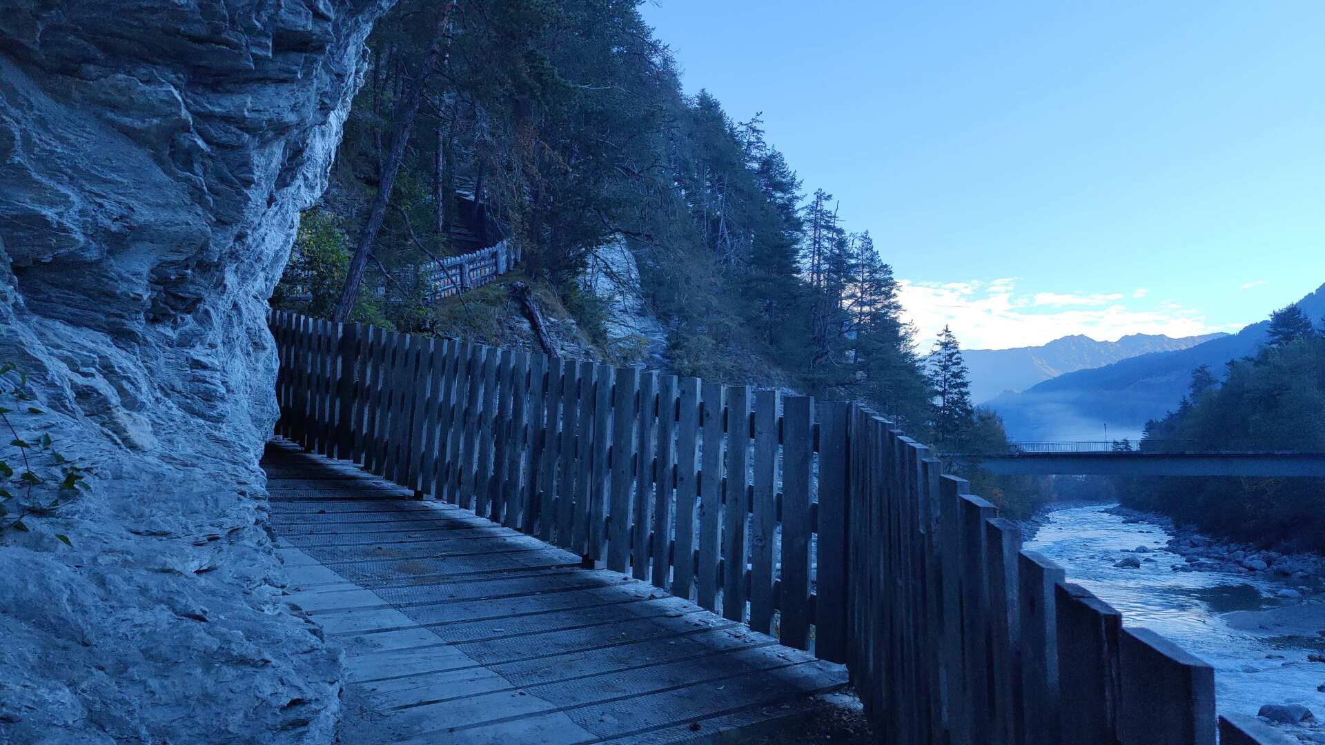
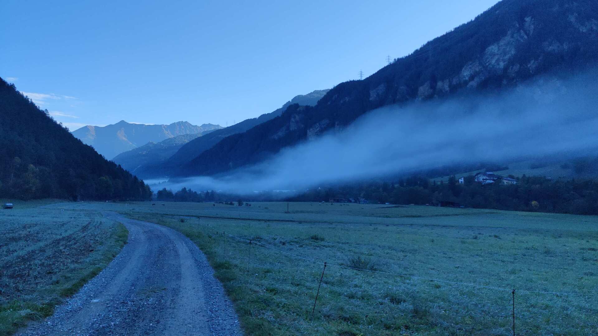
Soon I will reach the Roman Trail. It leads along the left bank of the Inn River in the direction of Landeck. I notice that the “fog snake” isn’t just a phenomenon of the Upper Engadine; it also appears here along the Inn in Tyrol. The spectacle is impressive, as the fog formation slowly moves from the bottom of the valley upwards.
Strong sunlight only appears after ten o’clock. It doesn’t get really hot throughout the day. I only carry a small amount of water with me, and it easily lasts until evening.
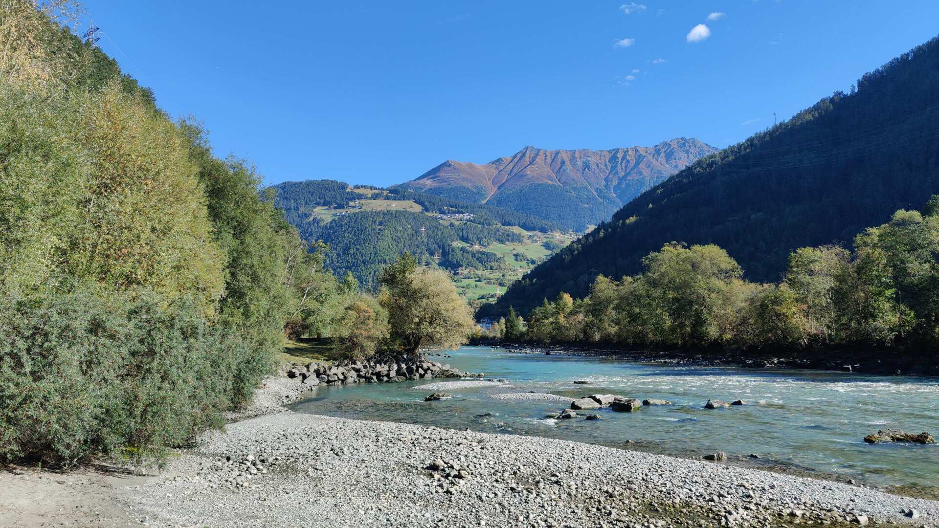
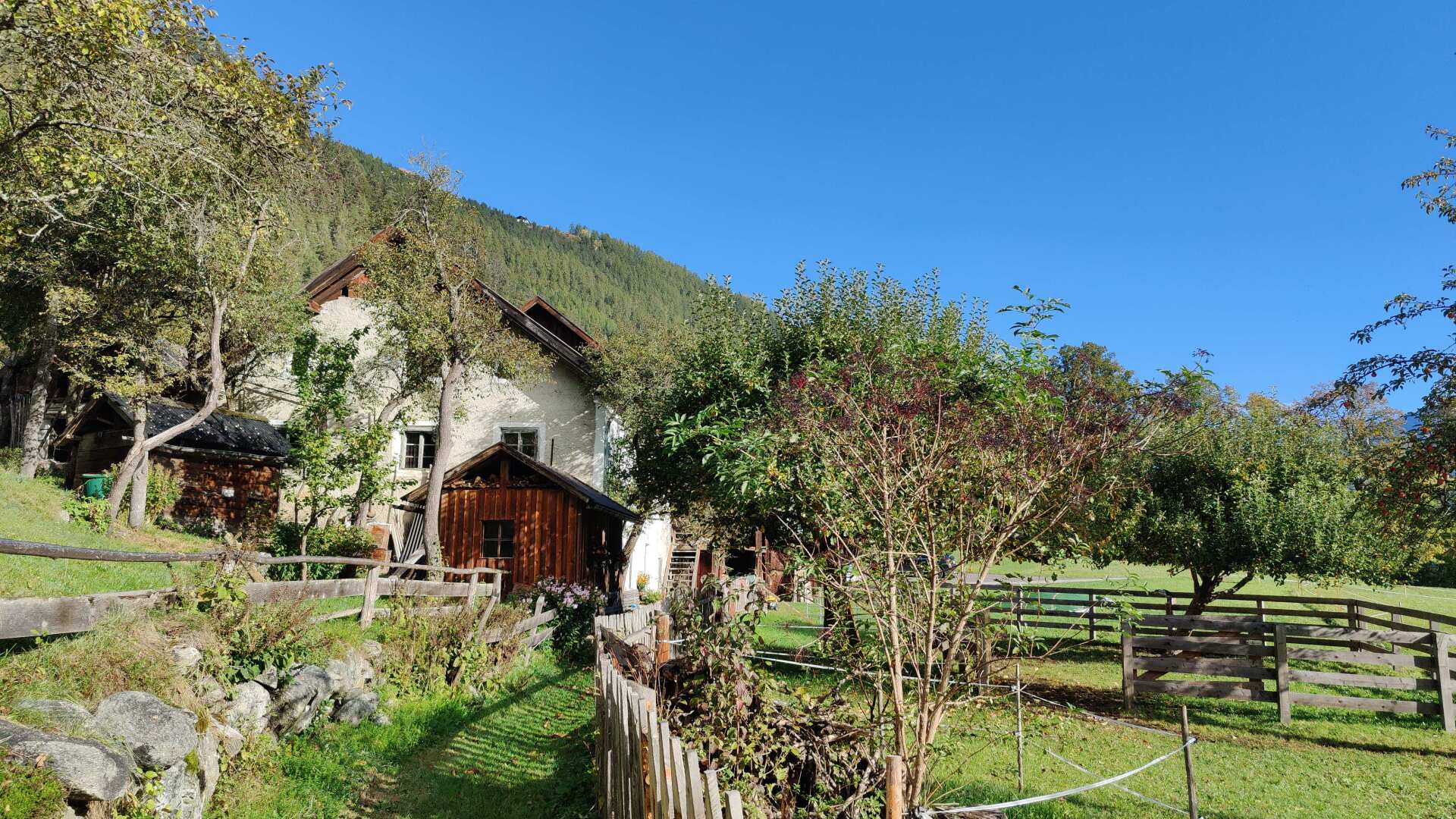
The left side of the valley offers little in the way of civilization. Just a few farms, and that’s about it.
Later, I come across a shed, and I’m not sure if it’s used for storing posts for cattle fences.
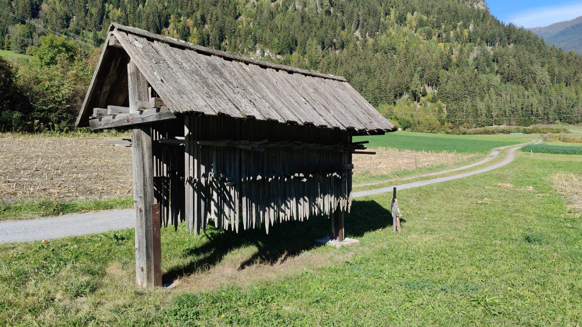
In retrospect, I regret not asking someone on site what these wooden parts are intended for. If I find an answer at a later date, I will gladly provide it here. And if anyone knows what they are for, please feel free to let me know.
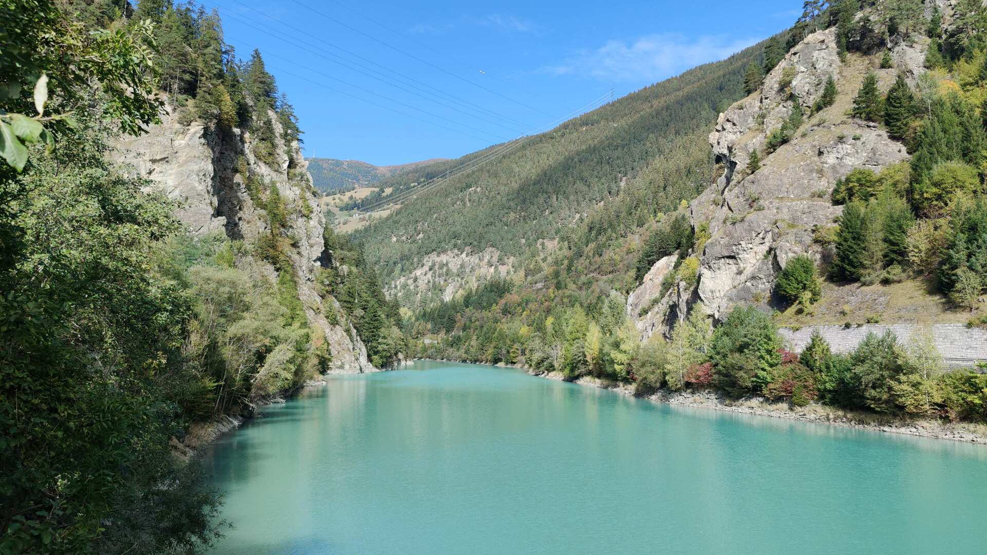
Near the small village of Prutz, the Inn River flows westward, and from now on, I will almost exclusively continue traveling westward. This always involves following the Inn Cycle Path. First, I cross the bridge to the right, and later, I cross the dam near Urgen to the left.
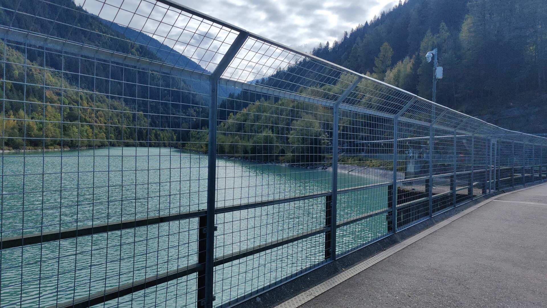
These are traditional names, in contrast to the rather drastic fencing of the bicycle path near the small weir. It all seems a bit excessive to me, but ultimately, the “curtain view” will soon be gone again.
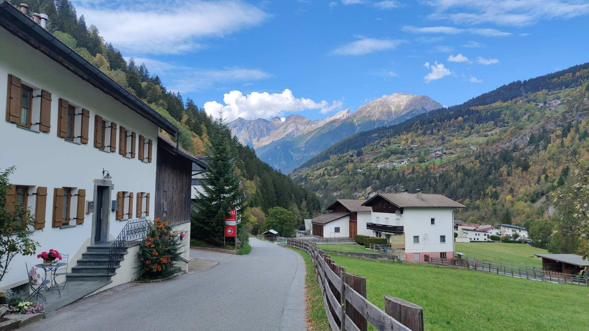
Again and again, I hike past magnificent Tyrolean farmhouses. Down here, before Landeck, there are no tourist buildings, and that makes today’s hike somehow appealing.
Later, we’ll walk along the main road for a couple of kilometers, though the appeal of this part is less obvious. The alternative would be to scramble high above the valley floor, but that hardly seems worthwhile for such a short distance.
As a long-distance hiker, the road isn’t exactly your best friend in principle, but the longer I walk, the more I get used to it. In this case, I could have walked through Samnaun. But that’s exactly what I didn’t want, and that’s why I’m taking the asphalt road here with a very relaxed attitude.
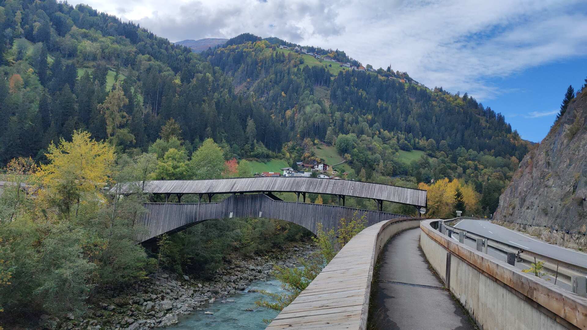
Right now, I just want to get to Landeck quickly. About an hour later, I take the old postal route. The path also leads through the valley, but in such a shady area that afterwards I have to “soak” my shoes, which had meanwhile dried in the sun, as if I had put them in a well.
In this respect, asphalt is a reliable choice to ensure you can get through even a late autumn day without getting wet.
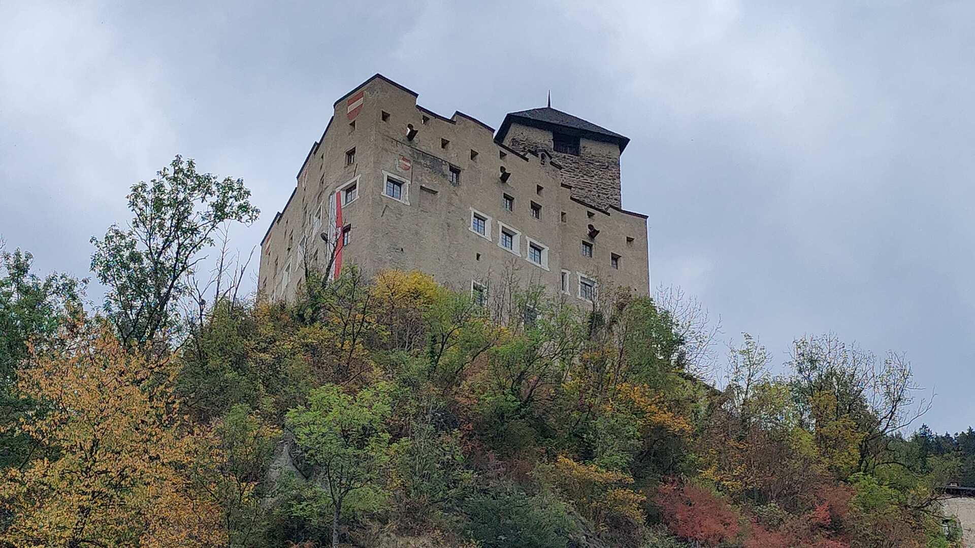
Landeck Castle towers over the town. Although not completely dominant (the small town is growing rapidly upwards), it is still clearly visible. My path does not lead to the old town, but rather to the left, through the suburbs.
With this, I leave the Inn river behind. It flows into the Danube later. My path leads steeply along the slope towards the Arlberg.
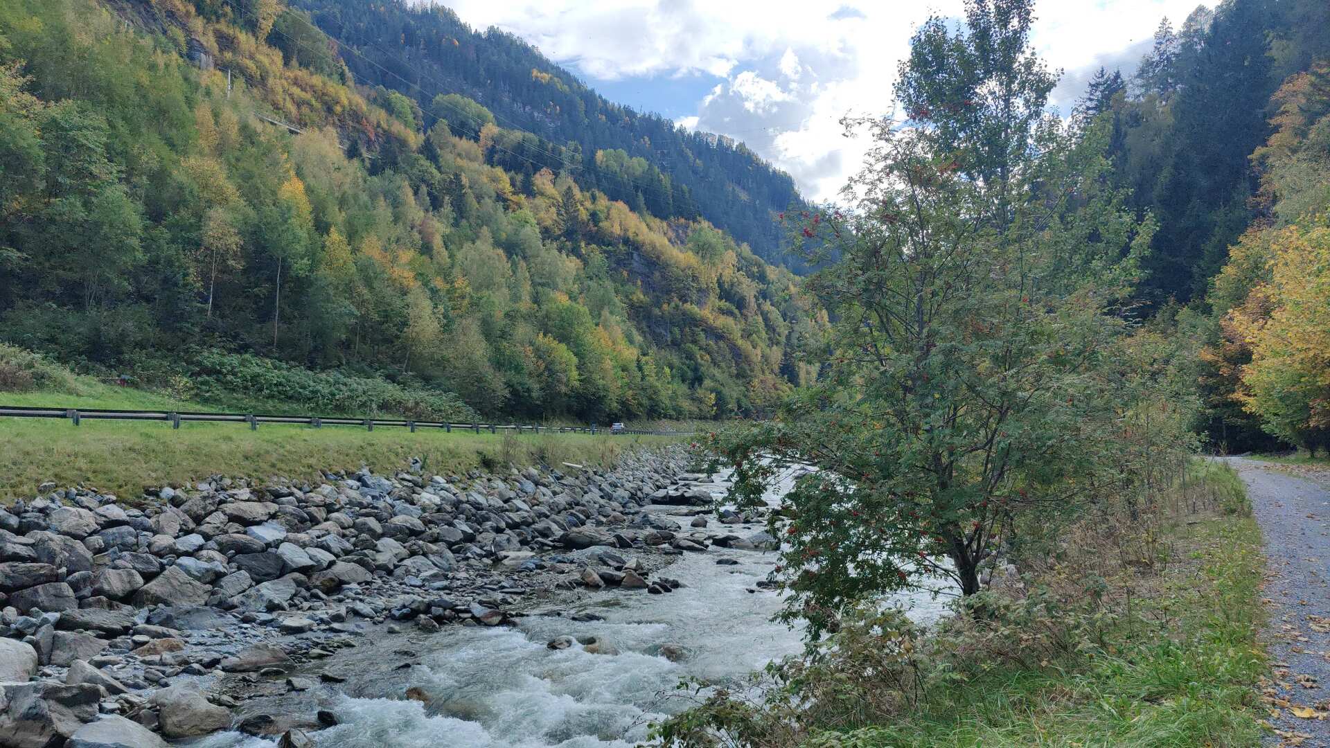
From Tirano onwards, I encounter my first railway line. If I wanted to, I could be in Zurich in less than three hours.
Nevertheless, I won’t be going home this evening. On top of the approximately 8 to 10 hours of walking, another 6 to 8 hours on the train (not including potential delays) is just too much.
It’s just not possible to do it without public transport. My accommodation is in Kappl. It would have been ideal with the pass route, but with the valley route, I’m about 15 kilometers out of the way. Therefore, I’ll take the bus from Schloss Wiesberg to Kappl.
Day 40: Arlberg and Flexenpass
It’s about 20 kilometers to St. Anton am Arlberg. The route mostly follows the cycle path, but sometimes it also takes you higher up.
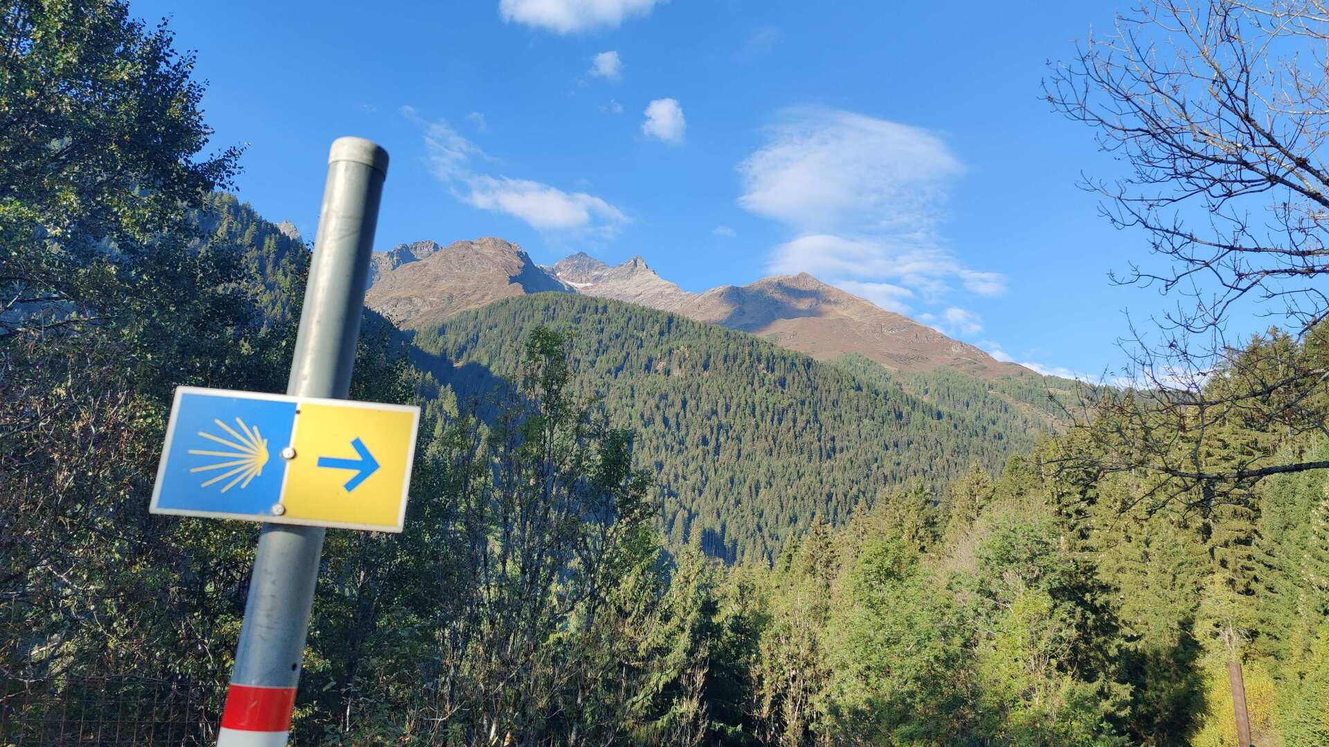
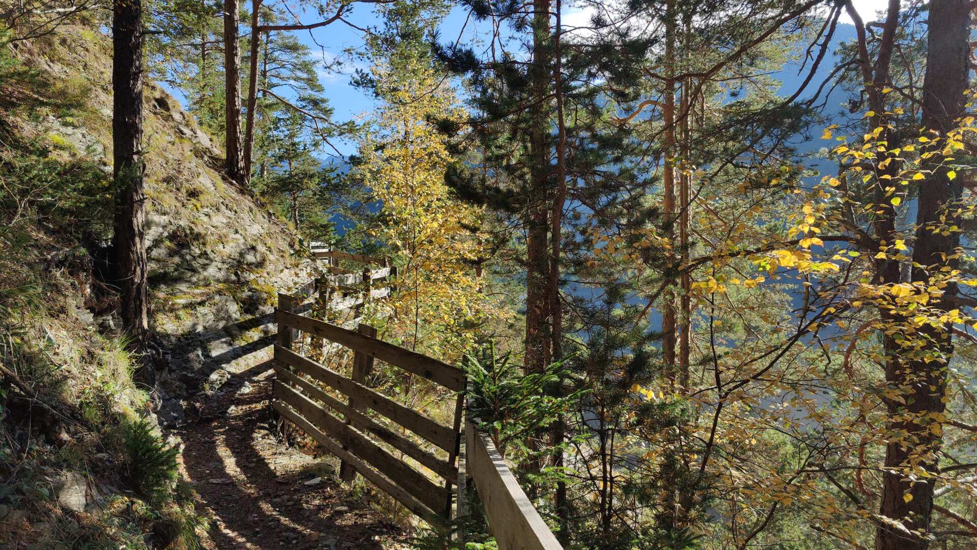
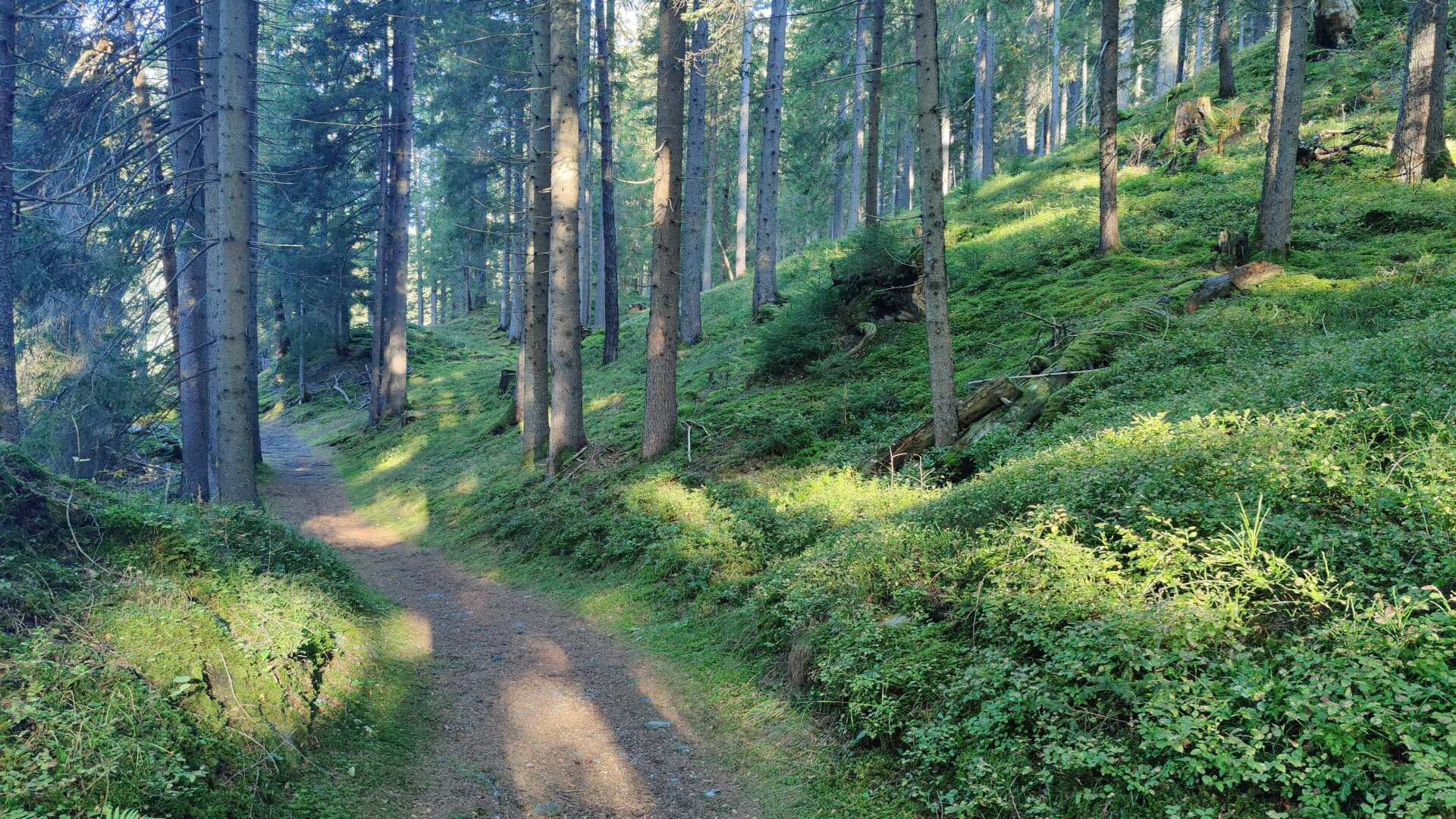
Well, I’ve actually already reached the last 100 kilometers. I’m now on the Camino de Santiago, or rather, I’m seeing the corresponding signs. The path winds lovingly through the forest, the sunbeams sparkle through the trees, somewhat hesitantly, but definitely in a way that suits the autumn.
Later in the valley, I find a phone booth that is actually still in working order. What a nostalgic feeling to hear that unmistakable ringing sound in my ear. I could put coins in and make a call. On the go, and completely without a cell phone.
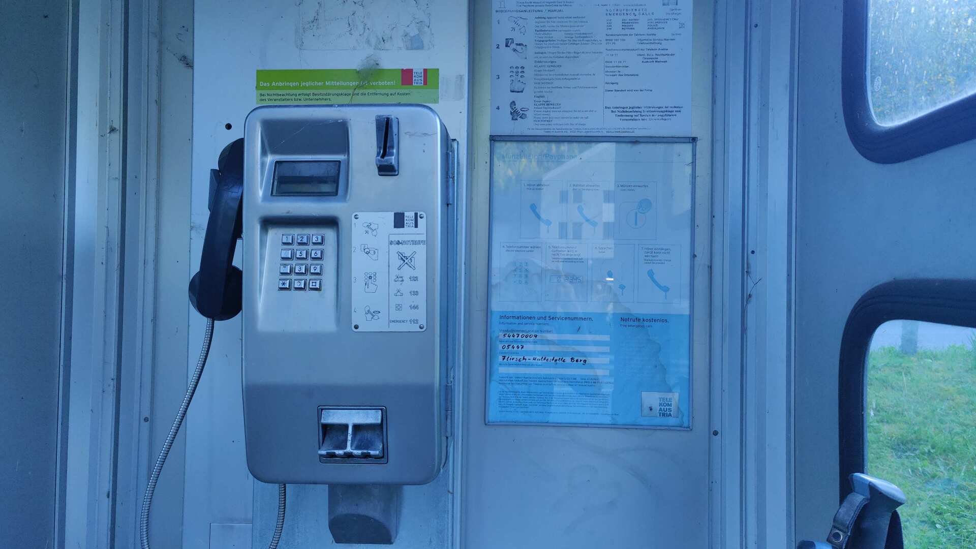
However, a small problem remains. Those thick, extensive telephone directories from back then no longer exist. So, it wouldn’t really be authentic if I looked up the number on my smartphone and then reached for the analog handset.
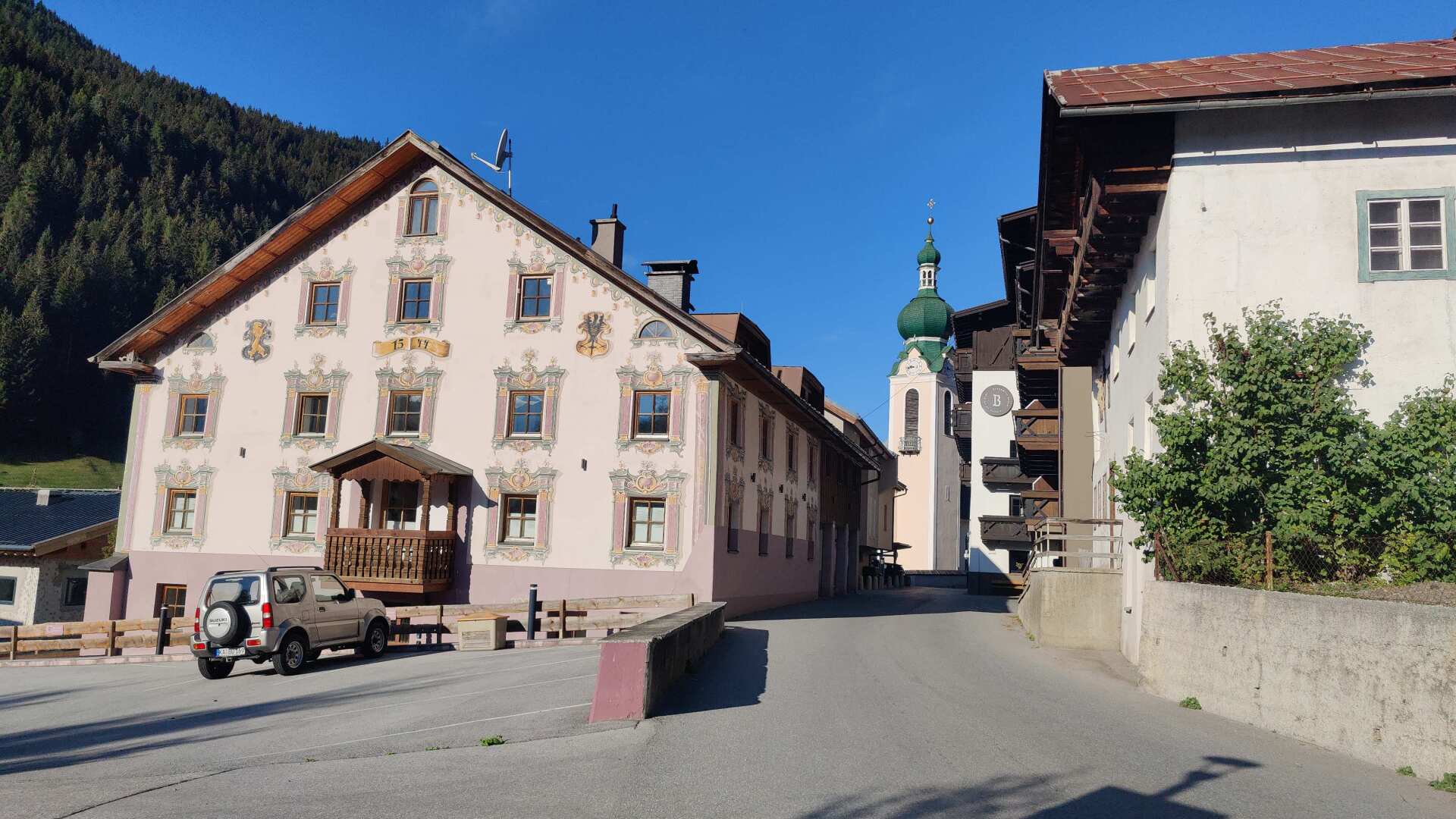
Flirsch offers a magnificent village center. The paintings on the houses are executed with great attention to detail. It is clear that this “wealth” is primarily due to the Arlberg Pass.
For several centuries, i.e. until the opening of the railway line in 1884, all these places benefited from a thriving trade in goods transported by pack animals.
Today, where the main road, highway, and railway leave Flirsch to the right, things are peaceful and quiet. A few people are waiting at the bus stops, and some tradespeople are carrying out work on buildings.
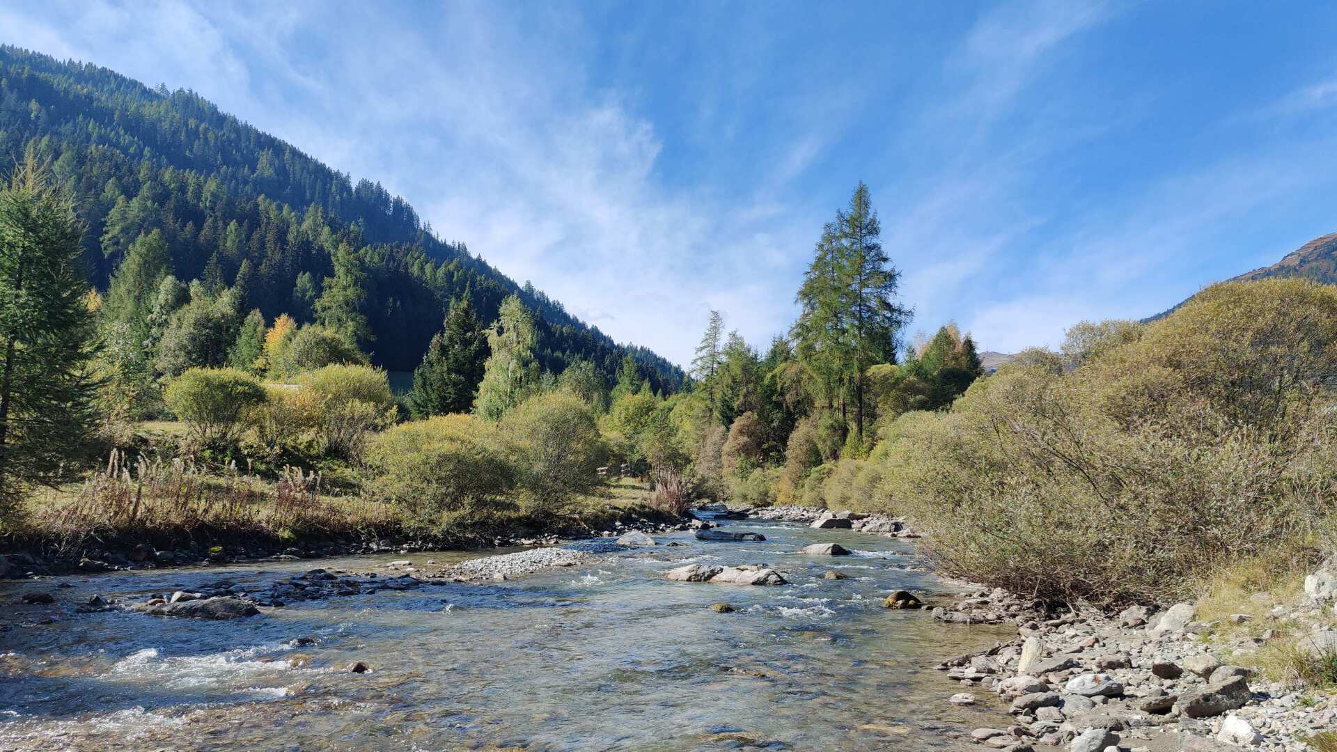
It’s still several hours on foot to St. Anton. I’m following the bike path. Surprisingly, the noise from the highway is hardly audible.
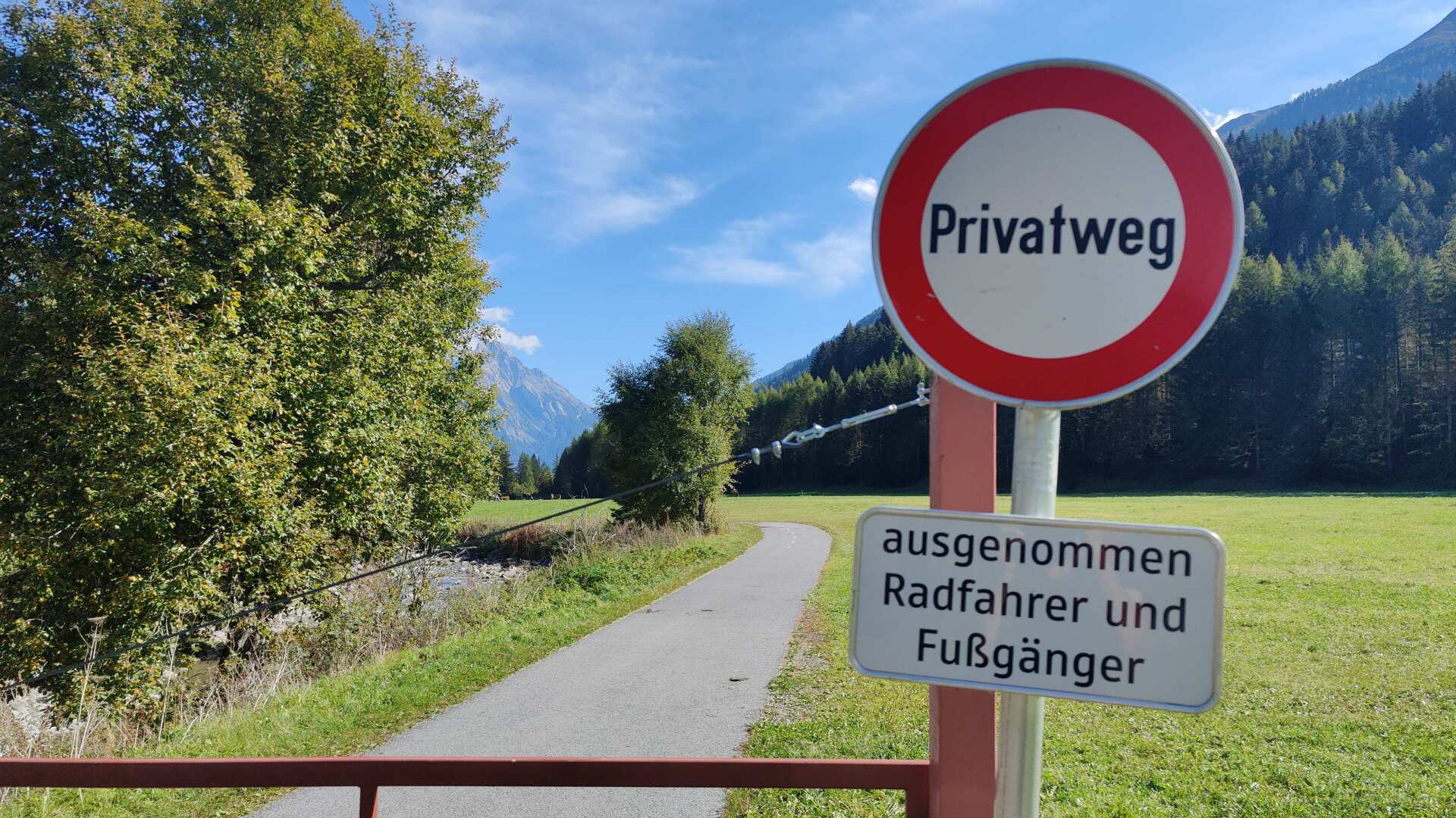
Even today, it’s the little joys along the way. A private road that prominently displays a “no driving” sign, but still allows cyclists and pedestrians to pass, this variety of signs is simply pleasing to me. In other places, the inscription “Caution, falling rocks, proceed at your own risk” could be found.
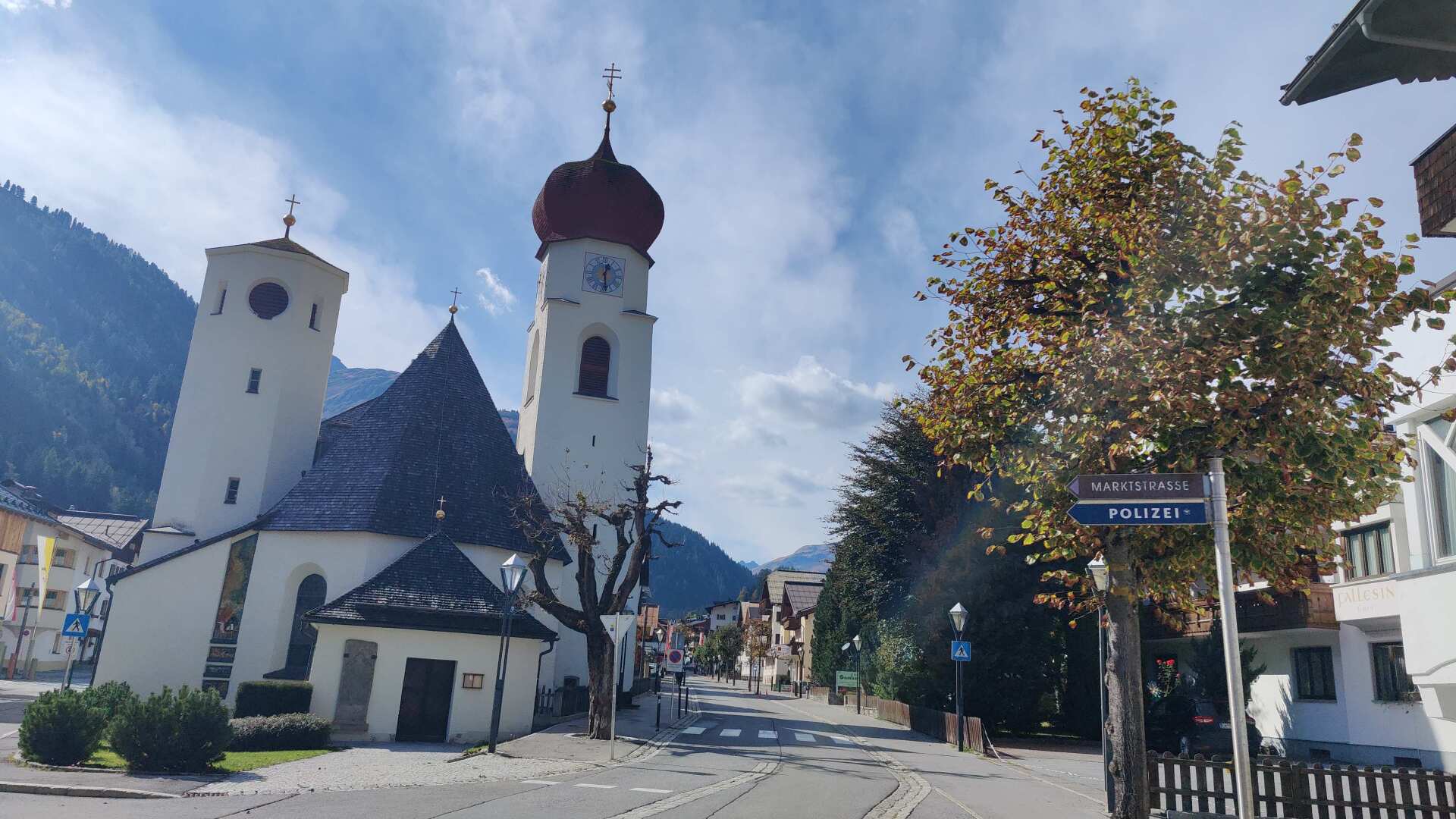
I arrived in St. Anton shortly before half past twelve. On this autumn day, the town seems deserted. There isn’t a single restaurant open for miles around. It’s the off-season, and the approximately 10,000 beds are only filled in winter, even though there are only about 2,200 residents.
At the end of the town, a sense of calm and happiness prevails. An older woman asks the manager if she could arrange accommodation for two acquaintances for the winter. That wouldn’t be so easy, as even for employees, they would have to budget around 1000 euros per bed per month.
Right now, in October, the beds would probably be available for less, but nobody wants them now. Well-fed, I head upwards. I’m traveling mostly alone and passing hiking trails where the path itself plays a secondary role.
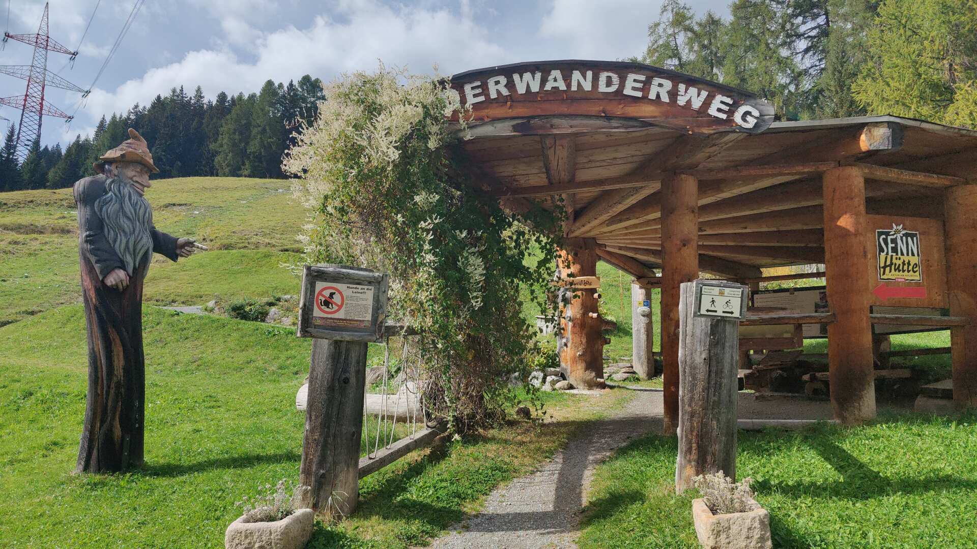
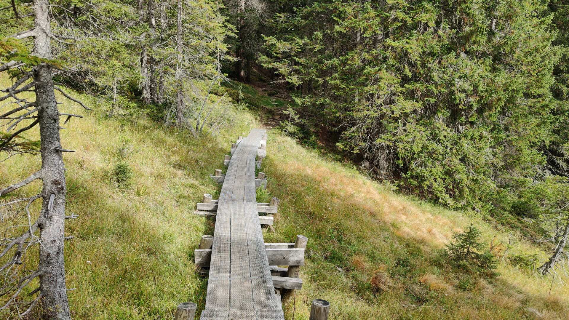
Higher up, you can always walk through the wonderful high moor landscape without getting your feet wet. The hiking trail leads upwards for several hundred meters along a wooden boardwalk.
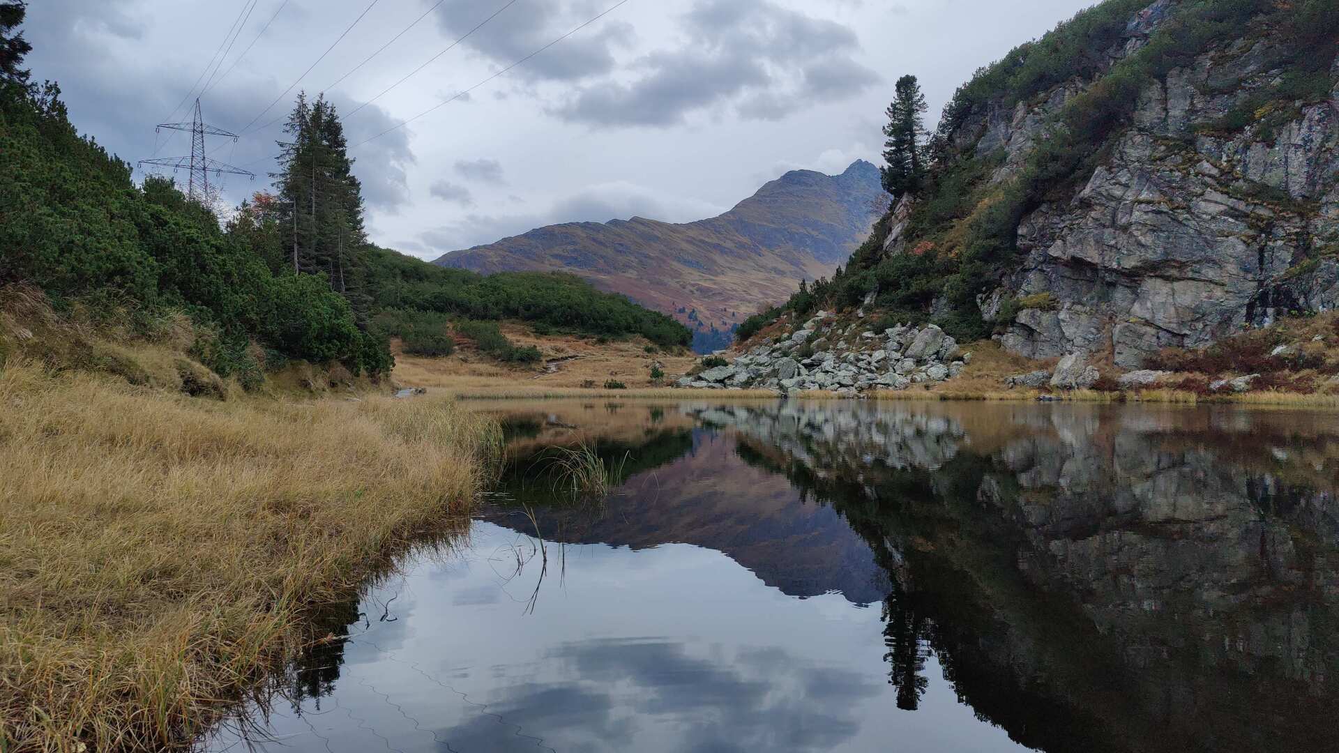
Later, it gets even rougher, with a steep climb that only ends at the Maiensee lake. This lake is impressively situated high above the Arlberg Pass, in a small valley. So, I ultimately reach the Arlberg Pass only when the road starts to descend sharply.
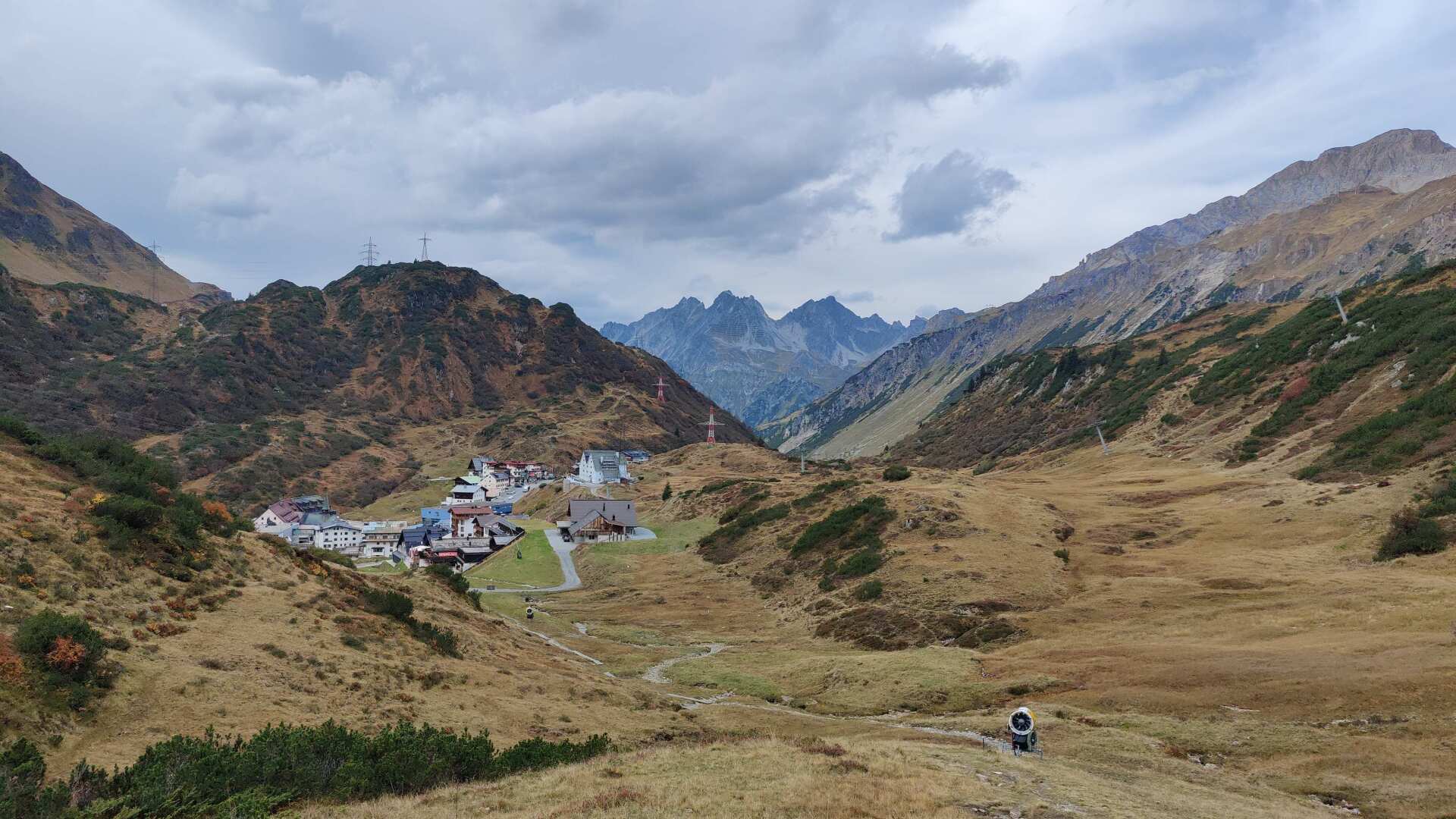
The pass itself is called St. Christoph. Even from a distance, it appears as a grey patch in the green landscape. When you get closer, you might not immediately recognize it as such a charming village, as is the case with Flirsch.
There are enormous facilities for the ski lifts, and equally large parking garages. To me, St. Christoph seems like an untamed concrete monster.
But at least I’m back in Vorarlberg now. It’s only about 70 kilometers to Bregenz.
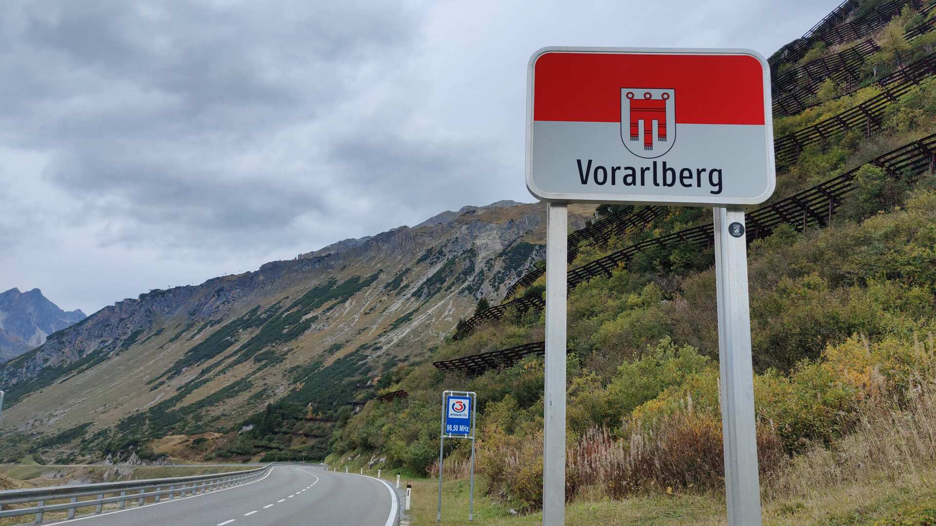
Dark clouds are slowly gathering. The accommodation is located in Stuben. The descent would be considerable, and it would also involve a few extra kilometers. It’s shorter if you take the direct hiking trail to the Flexenpass near Rauz.
The trail is remarkably poorly marked; later, it leads into very steep terrain, following a narrow path that offers breathtaking views, several hundred meters above the road tunnel leading to the Flexen Pass, which is precisely where the trail ends.
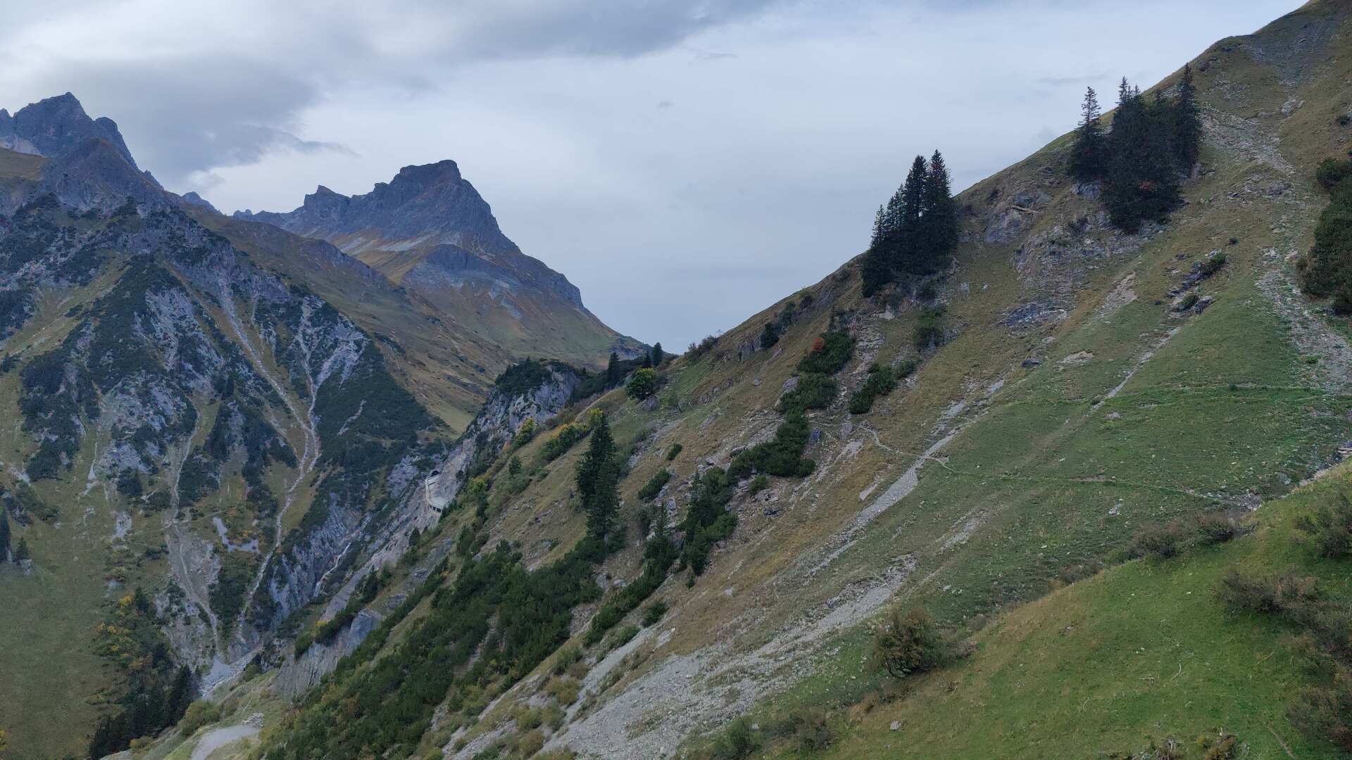
A slip led directly to the abyss. There are no ropes for safety, and the ground is sometimes made up of porous gravel.
On the other hand, anyone who has hiked all the way around Switzerland to get here will be able to manage this short stretch along the precipice, and a short time later, once they reach the pass, the ordeal will be quickly over.
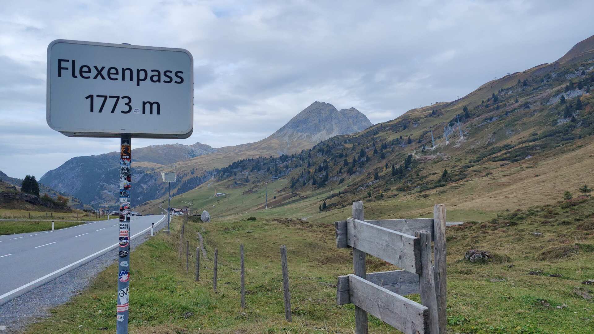
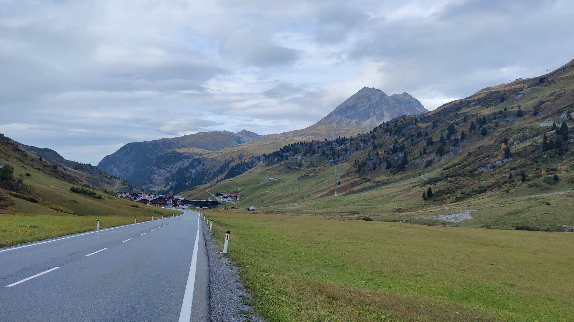
At the Flexenpass, I take the road again. There’s little traffic, and the first raindrops are falling, but I don’t need to get wet today. The weather forecast is holding true. I arrive at the ski resort of Zürs, almost dry.
I’m taking the bus back to Stuben. The check-in process there is fully digitized, and Swiss citizens have to overcome the hurdle that the country “Switzerland” is never offered as an option when entering their address.
I call the accommodation, and an endless loop of a recording greets me. “All our lines are busy, we’ll be with you shortly.” Of course, none of this is true. After about half an hour, I manage to navigate the missing Switzerland option. Finally, I can open the door using my smartphone.
The hotel boasts (as I learn in the endless loop during the phone call) that it produces more than 80 percent less CO2 than other hotels. That may all be true, but instead of a purely digital concierge, I would simply like an option to gain access without a smartphone.
In a hotel that boasts four stars, I would prefer a welcoming smile at the entrance over the endless, annoying loop of CO2-related announcements (okay, I’m a little annoyed about this).
Day 41: Rain, rain, and more rain
I take the bus back to Zürs. For the first hour, the rain holds off. Both Zürs and later Lech are connected to the Arlberg ski area, and this leaves its mark.
The number of cable car poles shouldn’t really be counted. Whether I would end up at 1291, I wouldn’t bet on it either way.
Unlike St. Christoph, Zürs at least shows some remaining effort to preserve its alpine character.
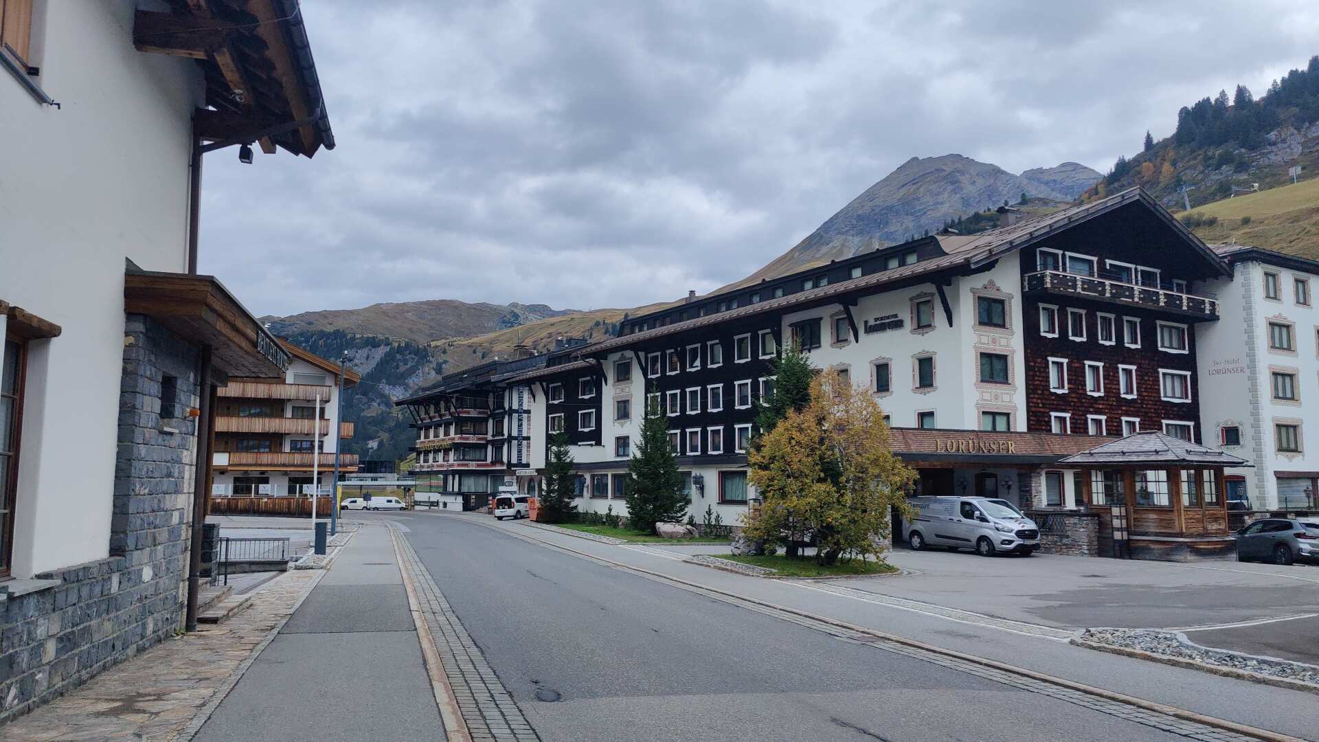
It’s not exactly beautiful, but at least there are still wooden facades. The descent to Lech, however, offers one last opportunity, probably the last, to immerse oneself in the alpine mountain world.
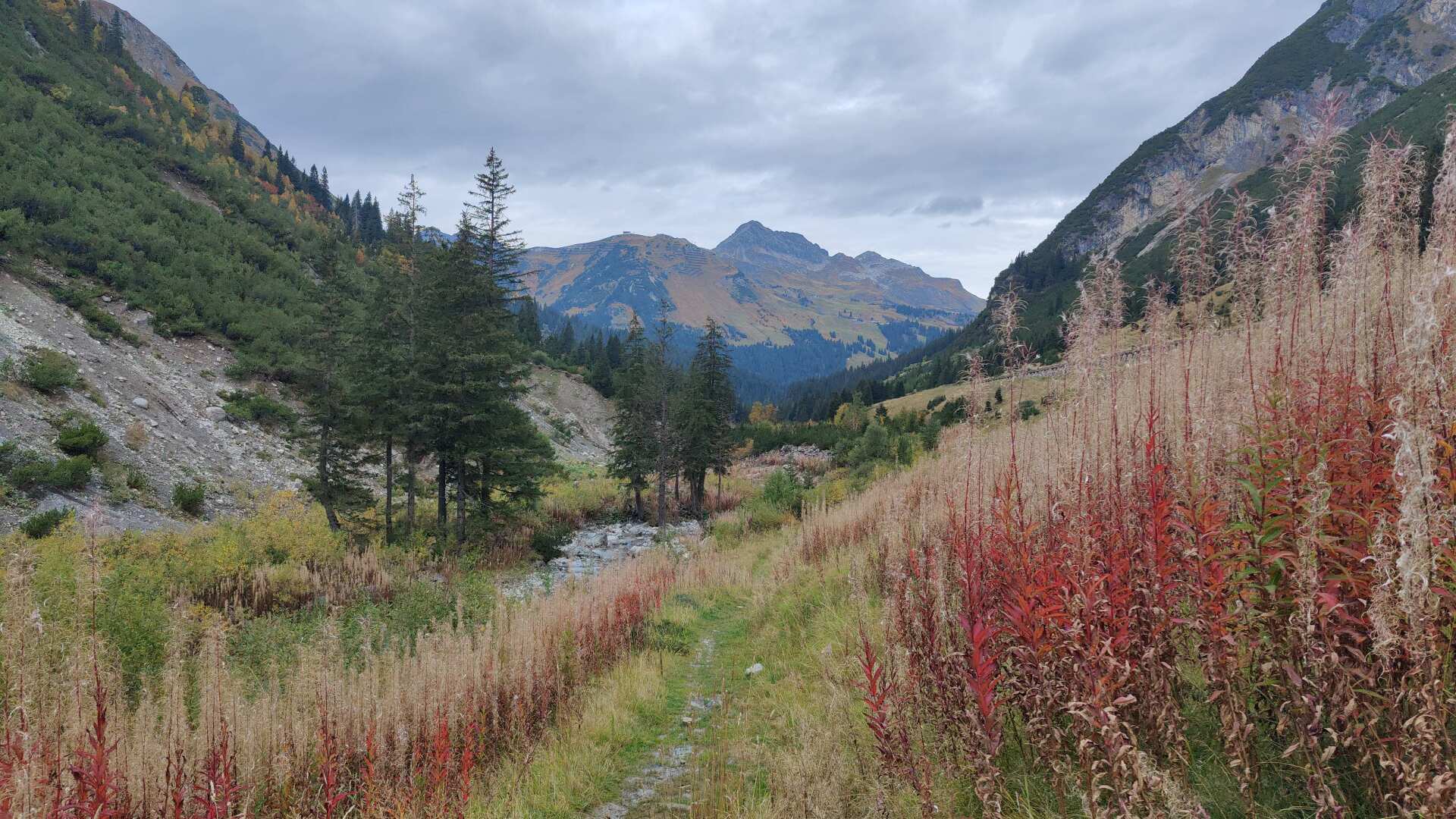
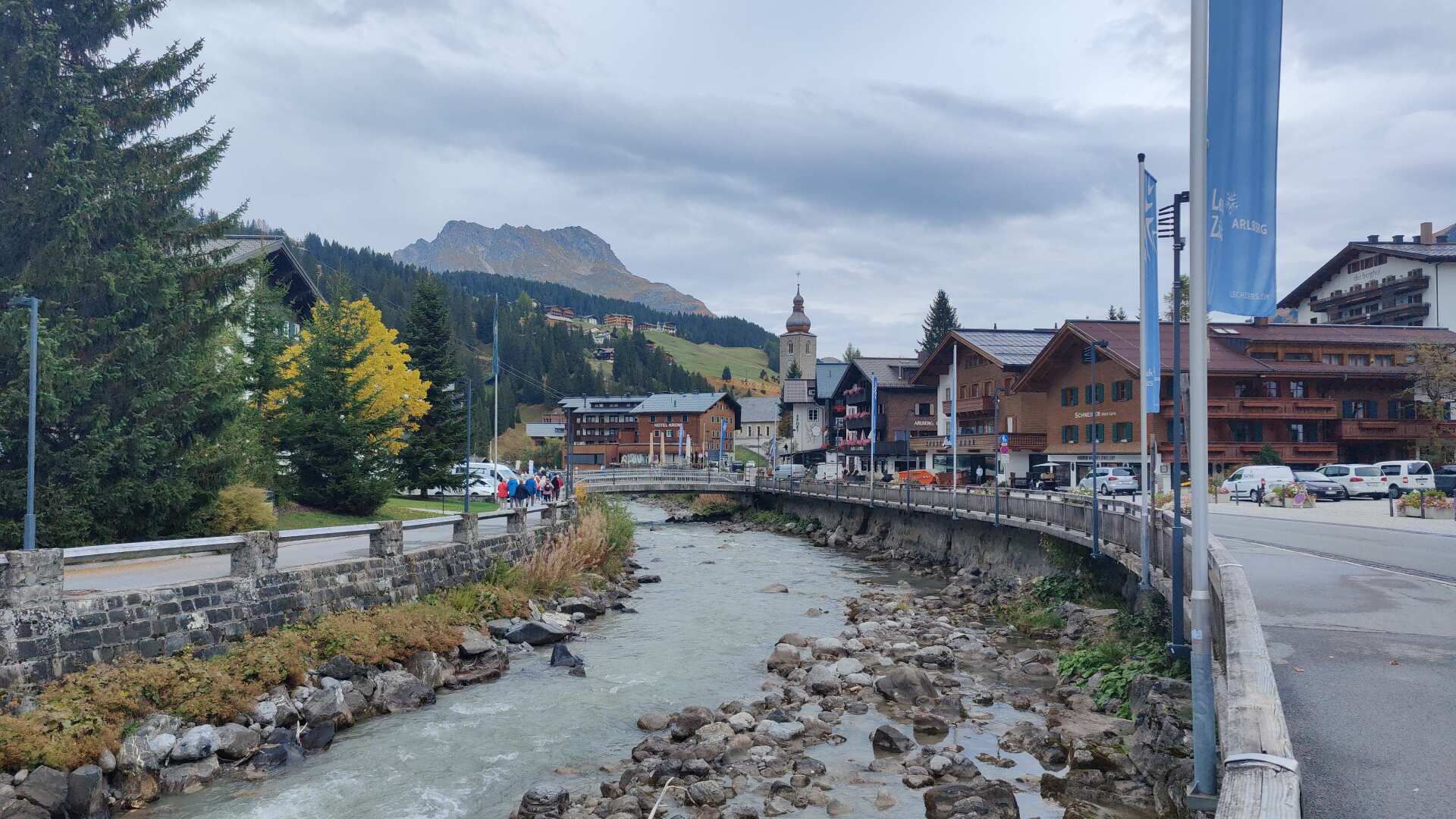
I will arrive in Lech am Arlberg around ten o’clock. I will meet a large group of hikers. To me, their plan seems ambitious, because it is supposed to rain for the rest of the day starting around ten o’clock.
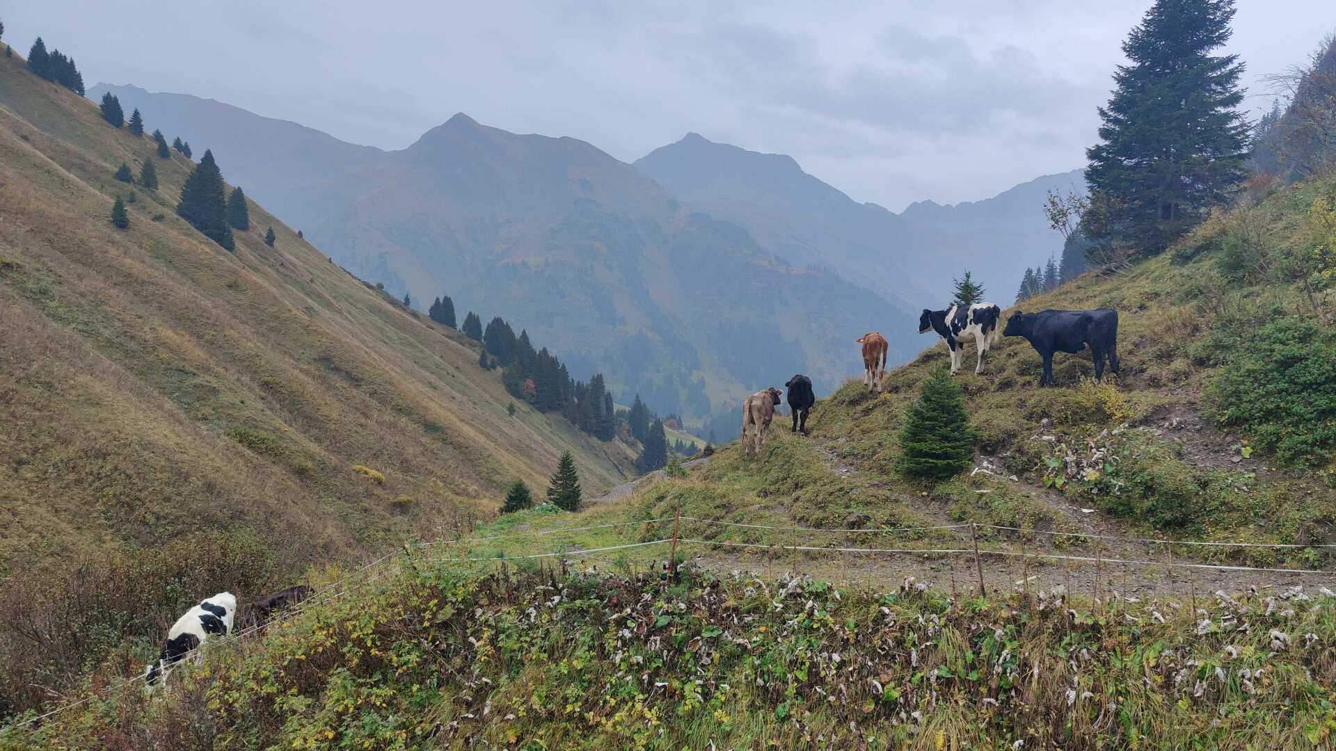
The predicted rain started, pretty much as expected. And from then on, it was just wet, very wet indeed. The only ones who seemed to enjoy the heavy rain were the cows. But I continued hiking, climbing several hundred meters in altitude.
At the top, I find myself once again at an altitude of over 1700 meters. The path ahead is once again lined with impressive winter sports facilities. The “Stadel” (which are, of course, restaurants) can accommodate an estimated several hundred skiers.
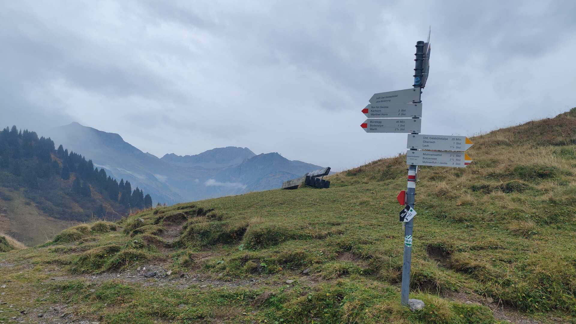
Today, everything is closed, and a road leads down into the valley towards Schröcken. Since 2013, there have been cable cars running from here all the way over to the Arlberg.
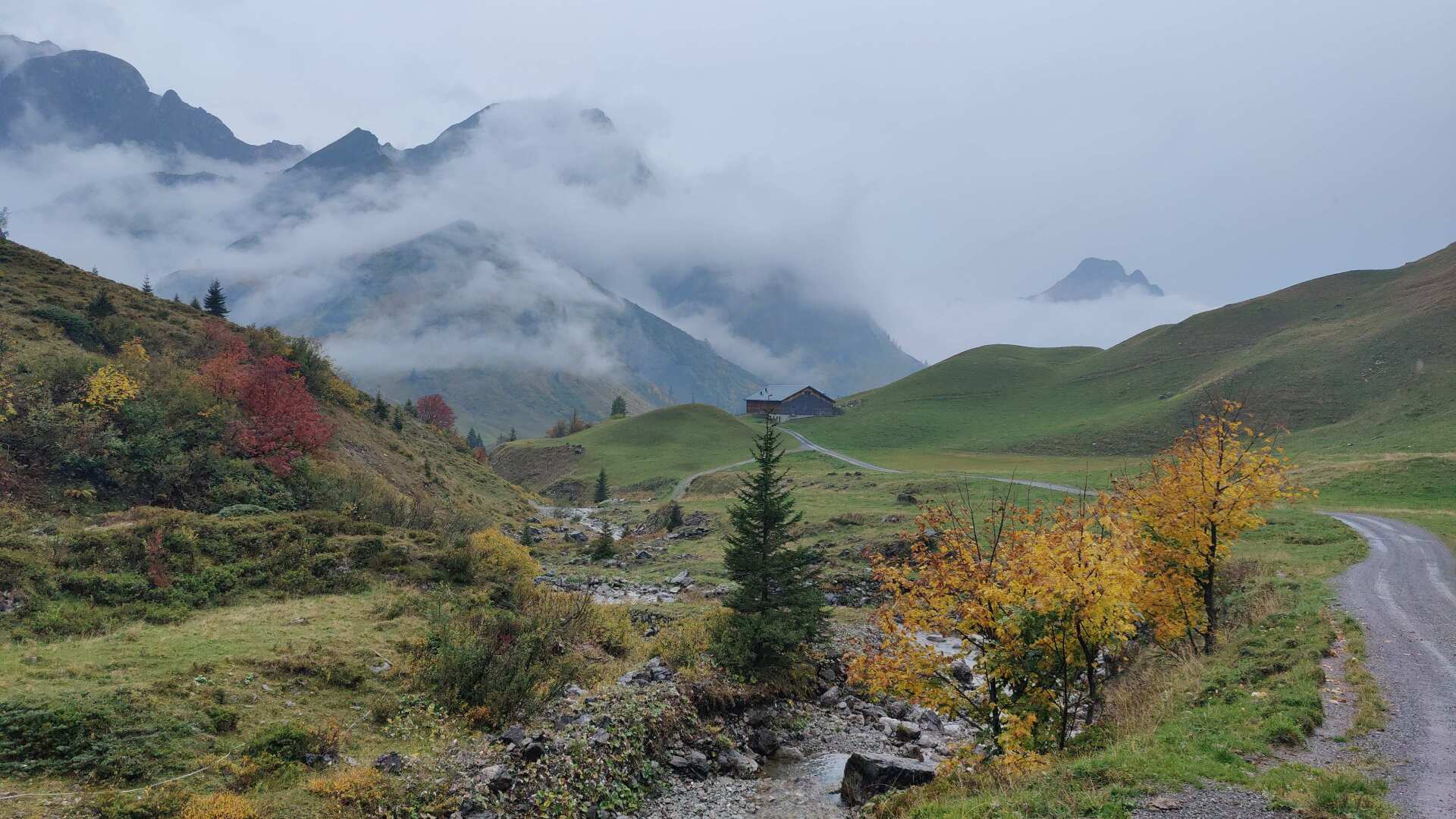
About 200 people live in Schröcken itself. At least, the village pub is open and the cheese noodles are of very good quality.
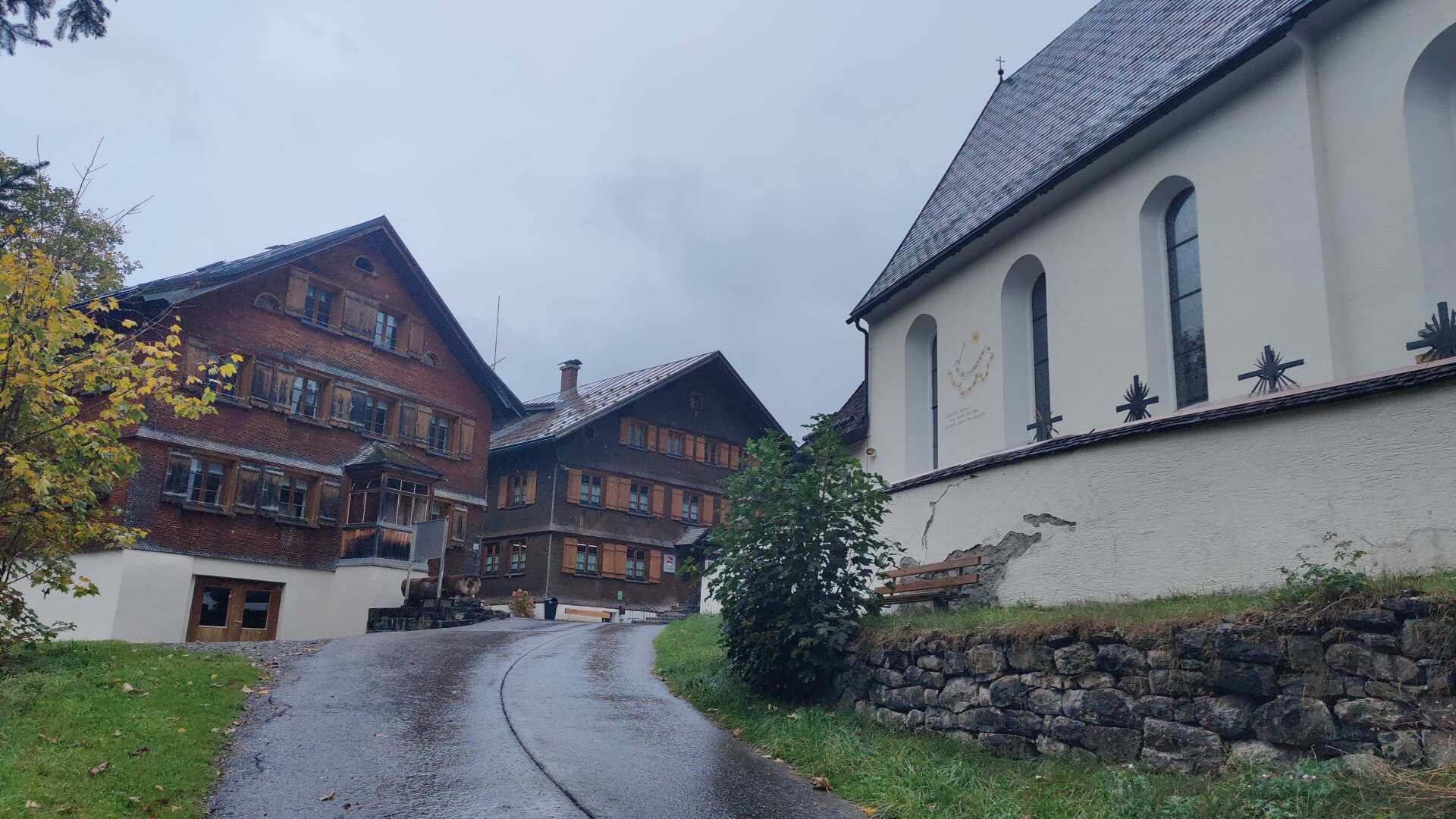
I’ll keep the break short. It would take a long time for the clothes to dry, and a quarter of an hour later I’d still be wet.
It leads downhill to a majestic river. The path is no longer difficult; I’ve long since reached the foothills of the Alps.
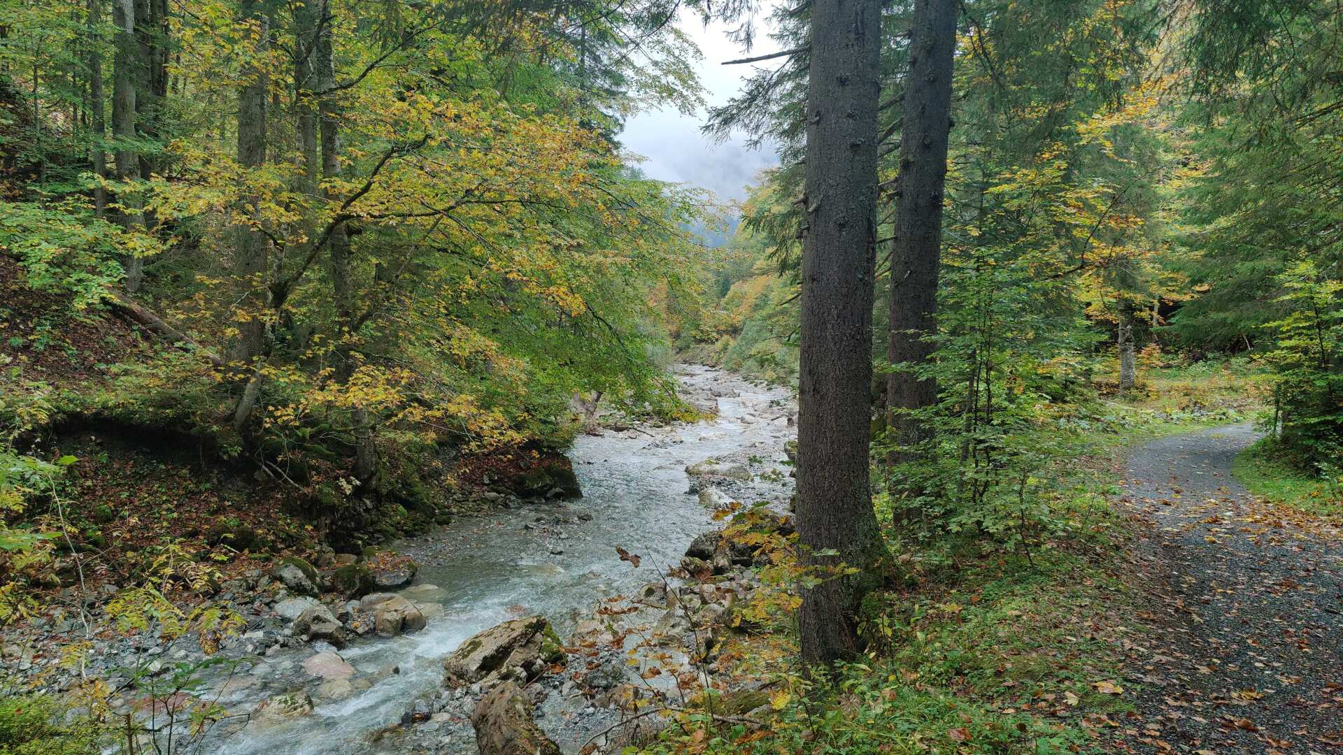
Later, the hiking trail follows the main road. At the sign that says ‘50.4 km’, it becomes clear to me that the river must flow into Lake Constance in Bregenz.
Not long after, the official name “Bregenzer Ache” is found on a bridge. What a feeling, to read “Bregenz” in black and white for the first time.
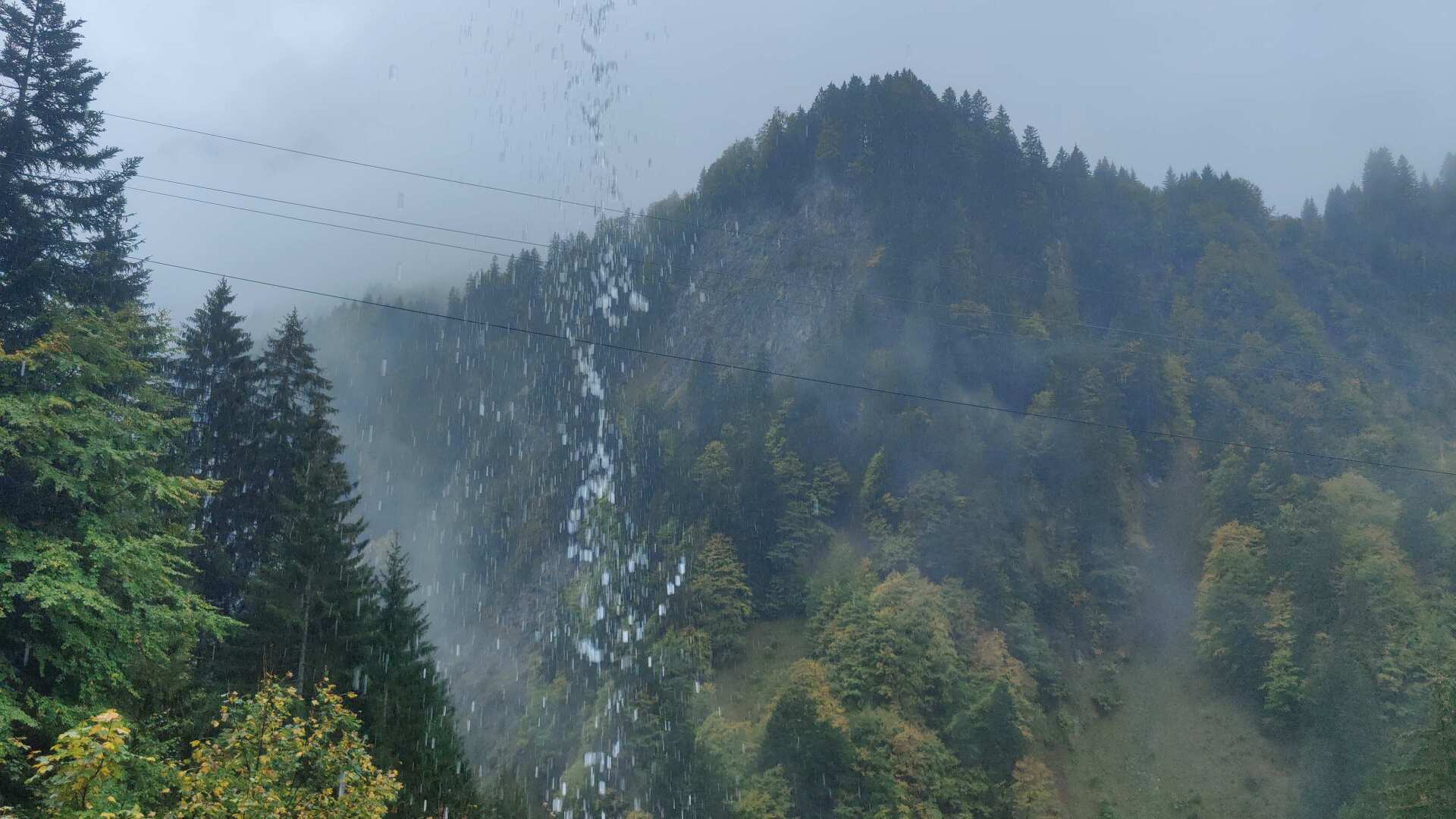
The rain is getting heavier. It’s not quite as bad as it looks in the picture. The photo was taken from a section of a tunnel along the main road.
Nevertheless, I’m soaking wet from head to toe. I’ve been hiking for the last few hours from Au to Schnepfau. The hotel was in Au. But since rain is also forecast for tomorrow, I’m hiking another hour and a half today, despite being wet, to catch the bus in Schnepfau.
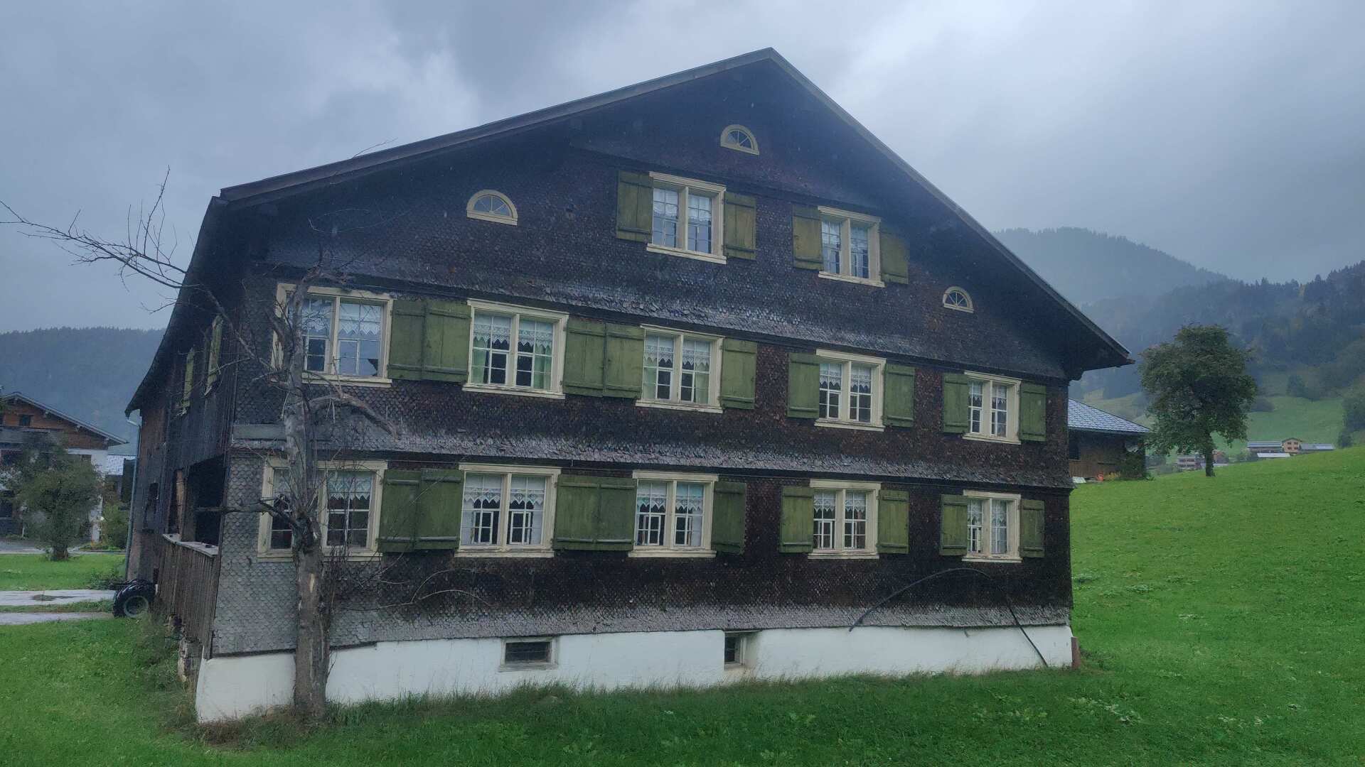
I’m following the bike path, which diverts cyclists onto the main road. Later, there are signs warning of “life-threatening” rockfall. It would be a few kilometers to go back.
Now, along the bike path, there are many signs with information for pedestrians. However, information about how to proceed or that the path is completely closed is only provided directly and deep within the gorge.
Walking isn’t really the ideal way to do this right now. And it’s true that it might only affect a few walkers, since most people are probably cycling. Nevertheless, it would have been helpful to have information for pedestrians as well.
But that was quite frustrating. In the end, I just walked straight through. Whether it was dangerous, I can’t say. However, I didn’t find any stones on the entire path.
Just before Schnepfau, the bus was coming towards me, and I had missed the stop by maybe a minute. With frantic gestures, I pleaded to be let on. And indeed, the bus stopped and took me with it.
At the hotel, it takes hours for my clothes and shoes to dry. But yes, at the reception, a person greets me and hands me the keys, and I can conveniently check in later.
Day 42: Dry finish towards Bregenz
In the morning, the rain cleared up. Had I known this, I probably wouldn’t have continued hiking in the rain yesterday. But it’s better this way than the other way around. In Schnepfau, I still start in the fog, but the trail goes uphill, and at the top, there are wonderful cloud formations.
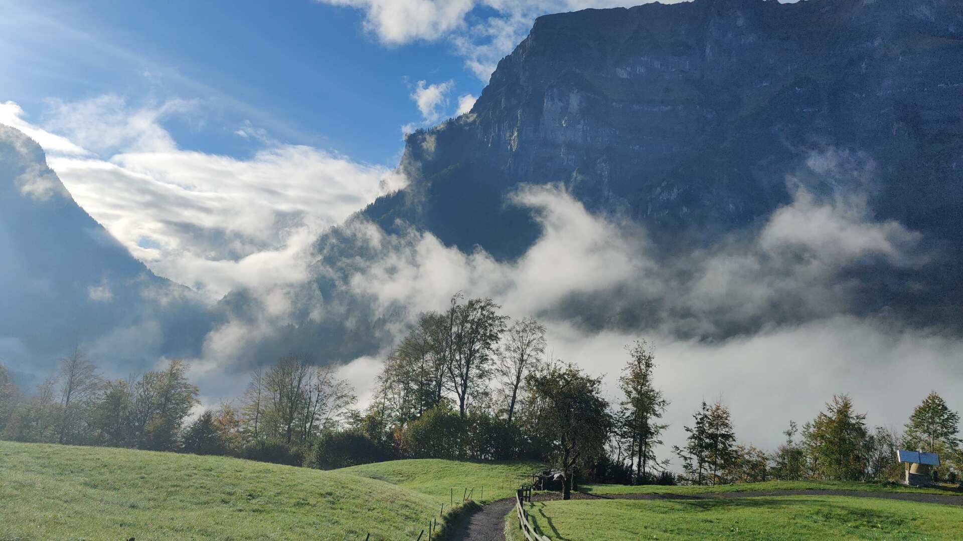
Later, on the descent, there are light patches of fog that greet me among the trees. For a longer moment, I enjoy this power of nature.
Whoever doesn’t go for a hike here is really missing out. And, the weather is being kind to me for the finale; it will stay dry all day.
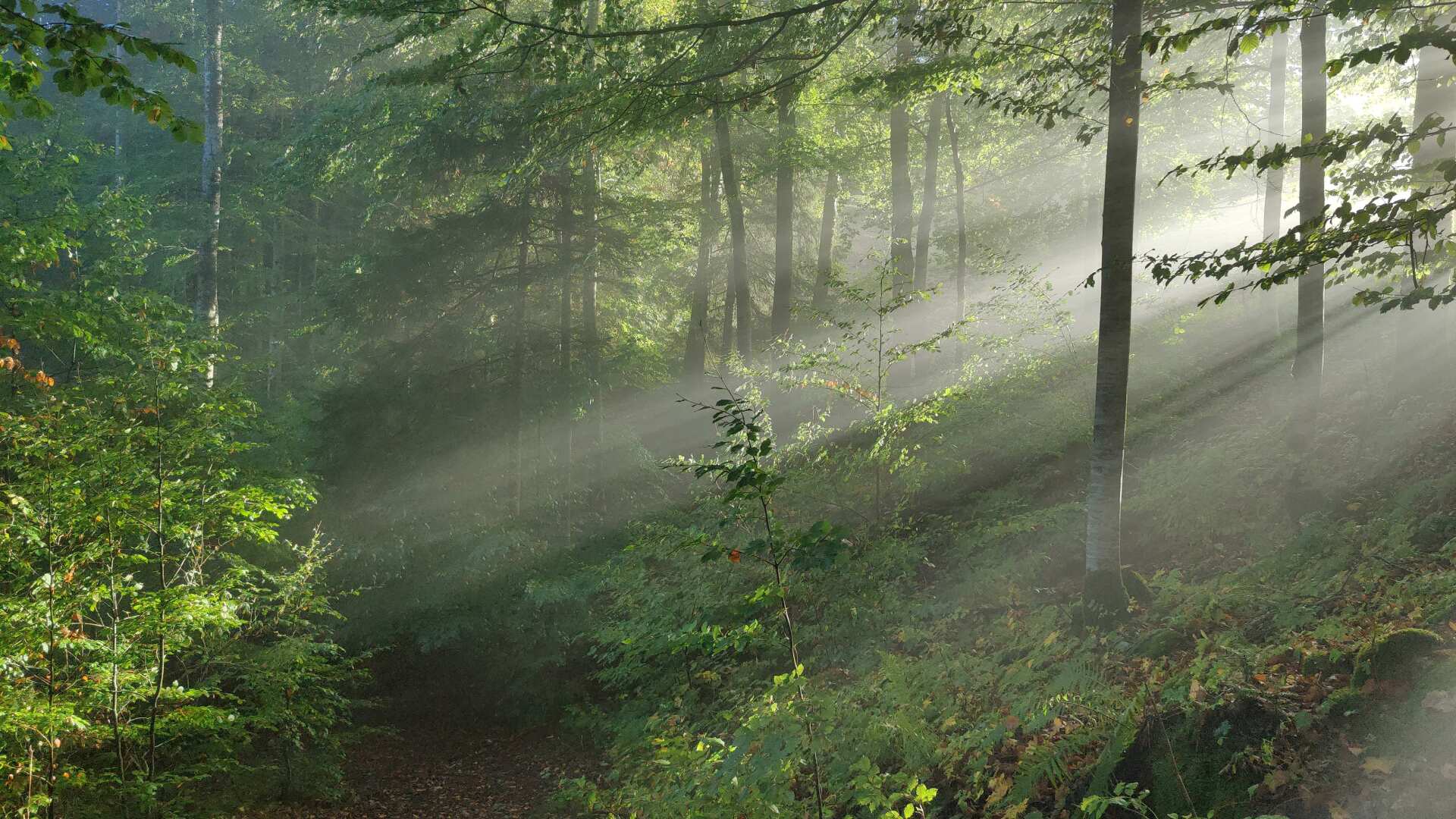
Down in the valley, I walk alone on a level path. The wooden fence on my right stands in stark contrast to the tourist bustle of the past few days in the Arlberg region.
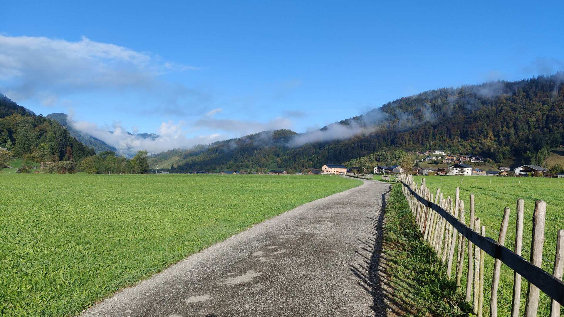
Later I come across narrow tracks, and even later, a construction crew. I ask if anyone can tell me something about this railway. I am directed to Jakob, who gives me a very detailed account of the history of the Bregenzerwald Railway.
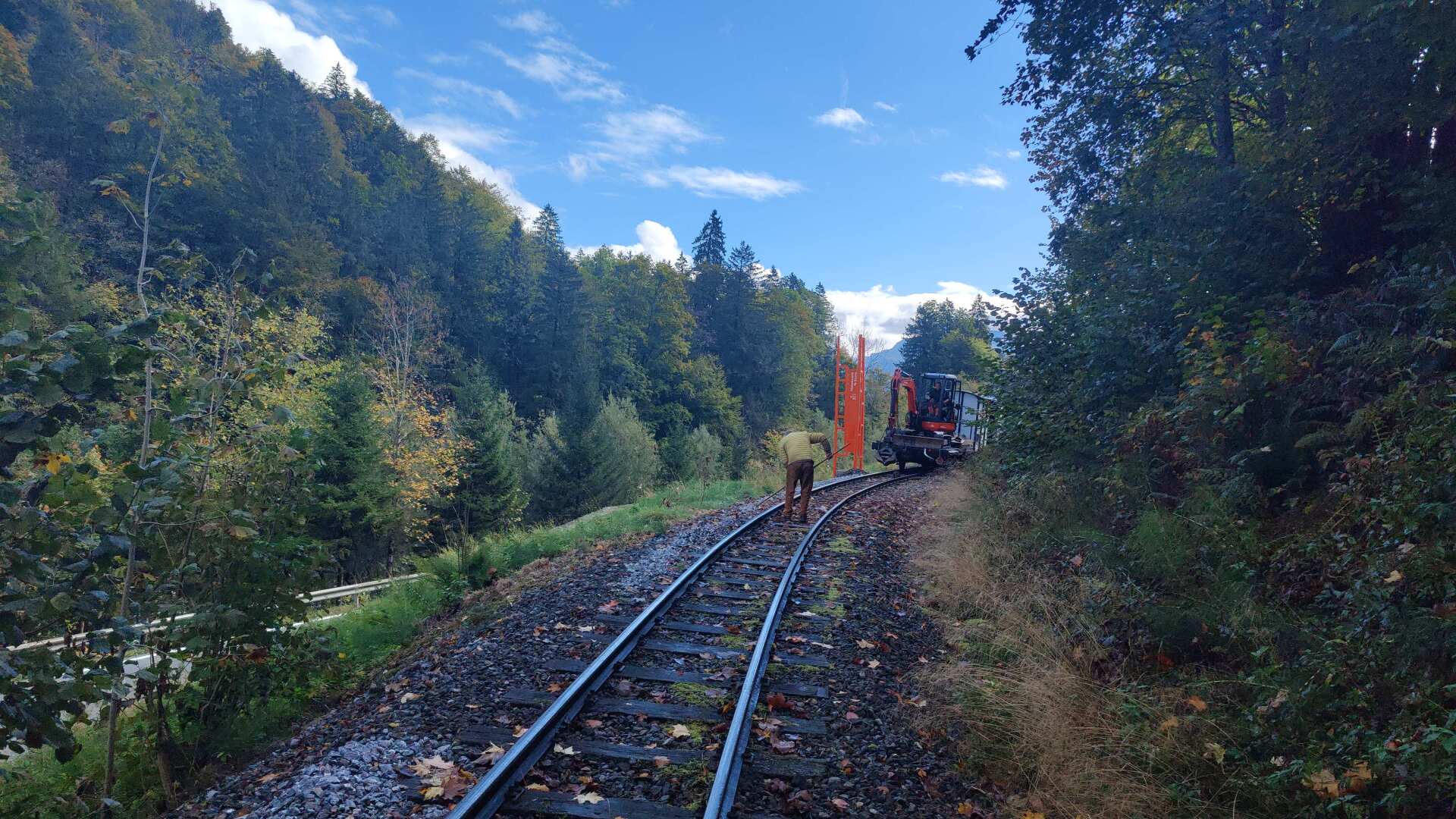
The railway was put into operation in 1902 and operated until 1980. The association founded at that time (Jakob was a co-founder) was able to save five kilometers of the originally 35 kilometers for the museum railway.
Unfortunately, a severe storm destroyed the bridge over the Bregenzer Ache shortly thereafter. However, it was possible to rebuild the bridge, thanks to a lot of hard work, generous donations, and a reasonable contribution from the public sector.
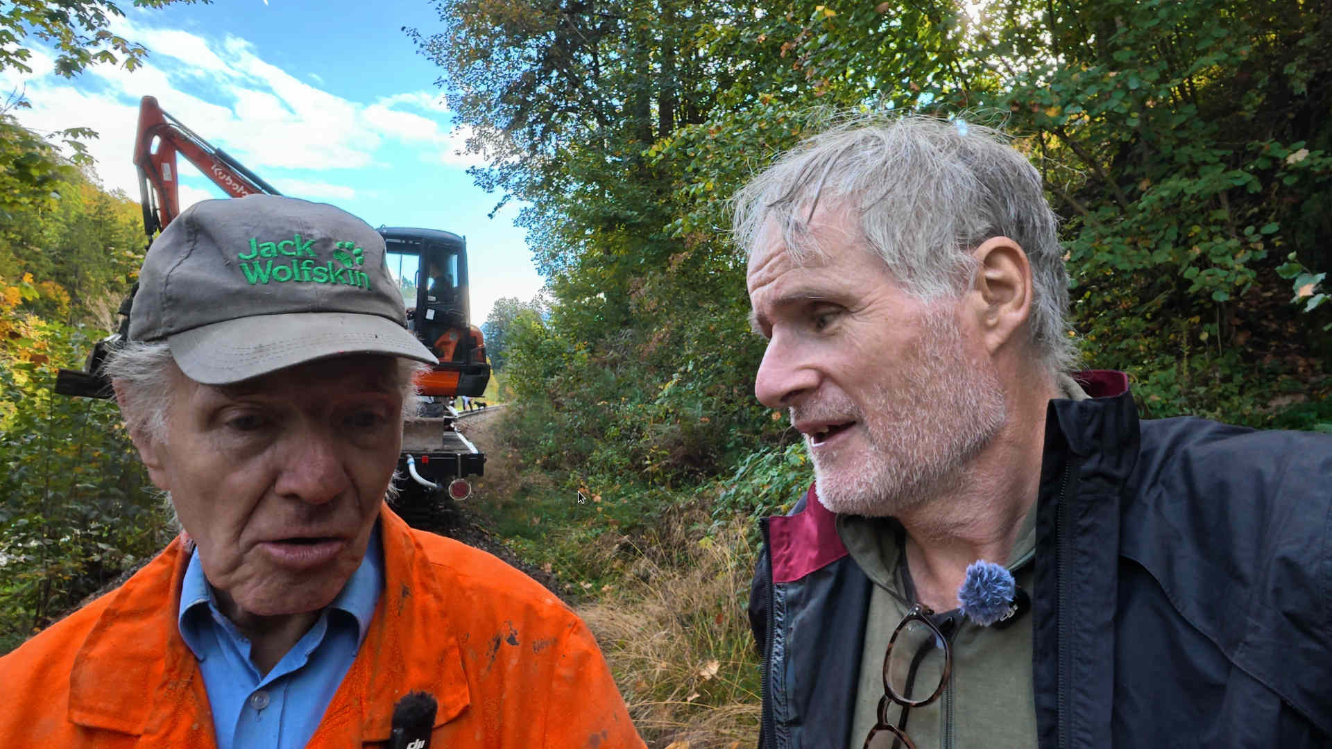
Today, the railway is in good shape and is the most visited museum railway in all of Austria. The railway operates from spring to autumn, and there are also special Santa Claus trains in December. Reservations can be made at waelderbaehnle.at.
The five-kilometer stretch is traveled in both directions, providing an enjoyable train ride lasting about an hour. Thanks, Jakob, for the impromptu interview.
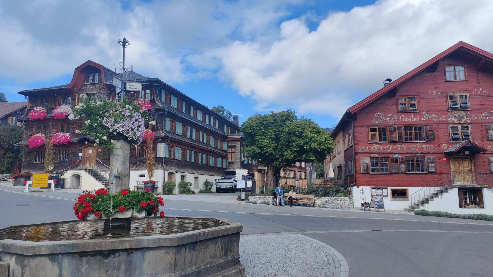
I could follow the Bregenzer Asche all the way to Bregenz, but there’s a shortcut via Schwarzenberg and Bödele. However, this shortcut comes at the cost of a good 400 meters of elevation gain.
As a reward, you’ll find Schwarzenberg, a picturesque place, and later, during the ascent, you’ll have a last glimpse back at the Bregenzer Wald.
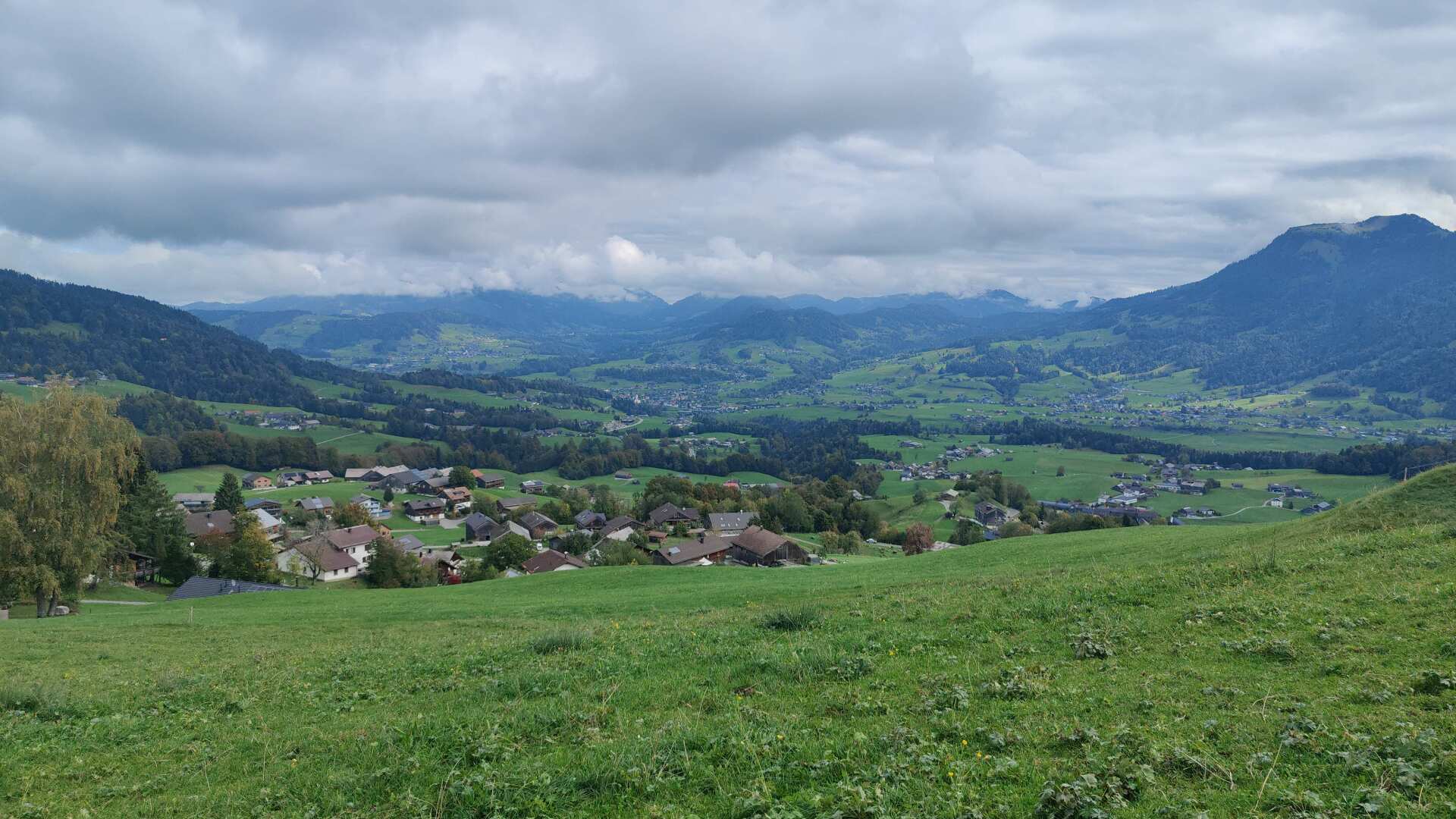
Once again, I trudge upwards, sweating profusely. Even though the temperatures are significantly lower compared to the previous days, wearing short sleeves is the easiest way to manage the sweat while hiking.
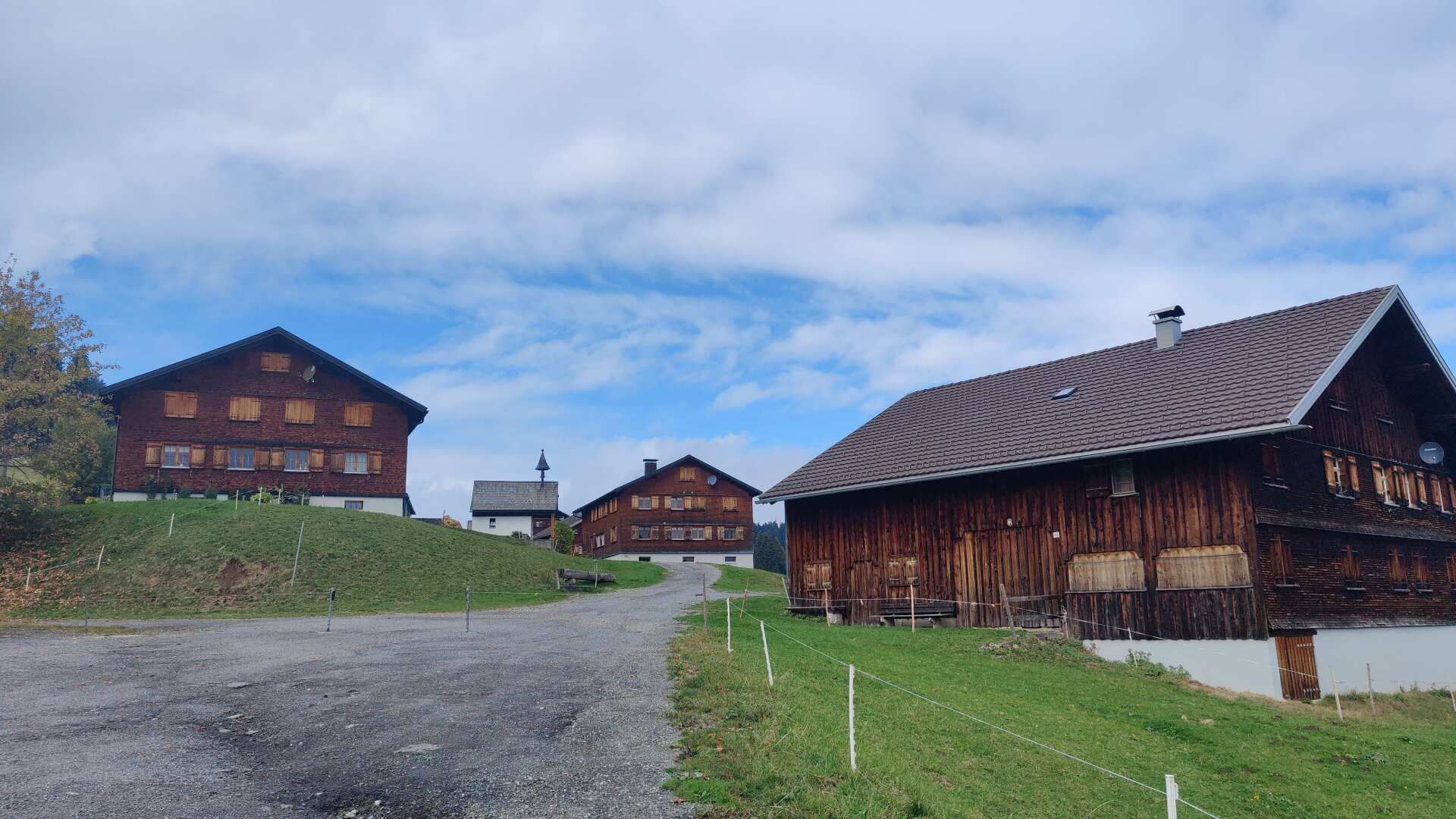
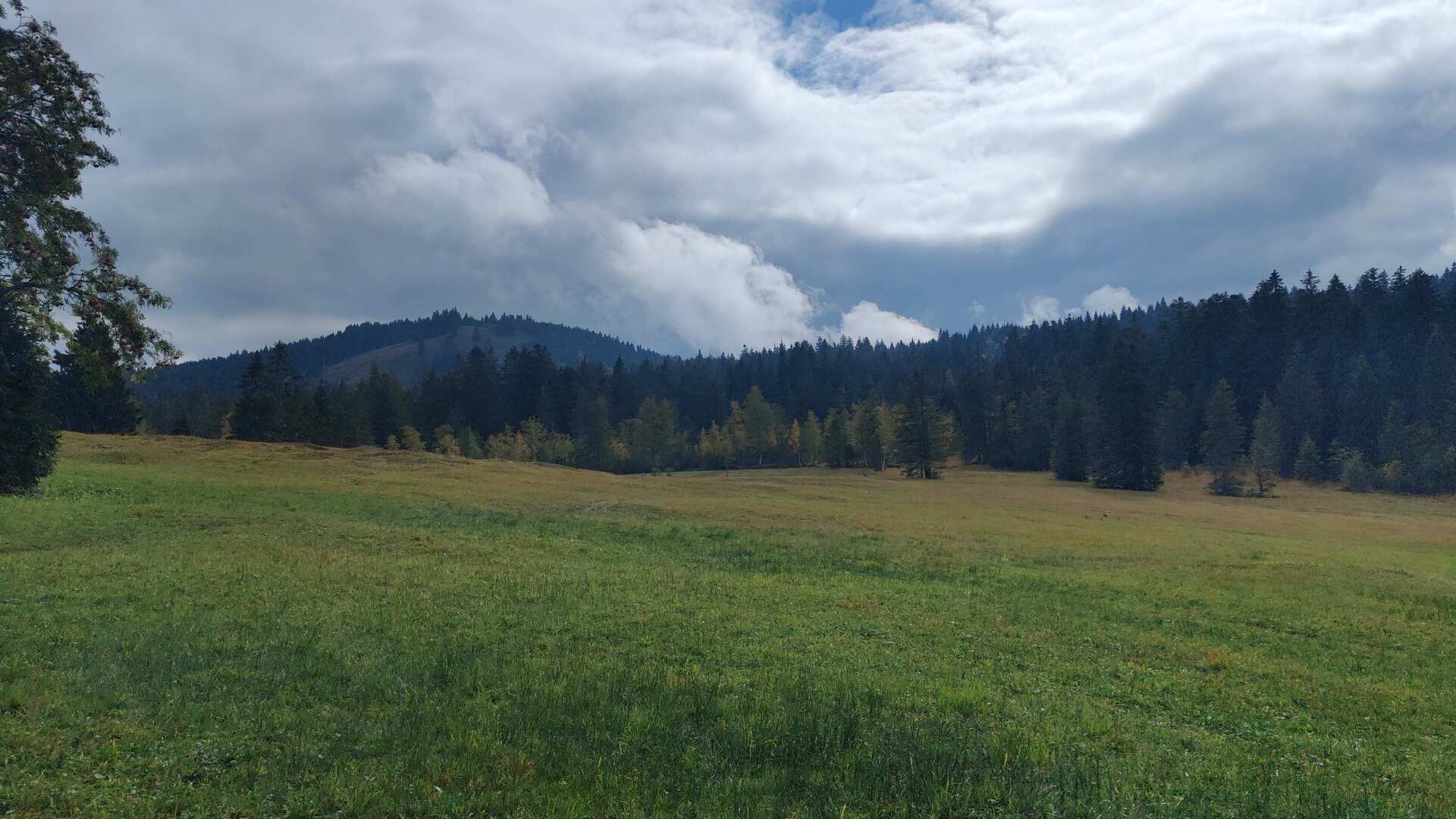
Up above, just before the Bödele, there’s a charming arrangement of old houses, like something out of a fairytale. The Bödele itself, in contrast, consists of a large parking lot for the ski lifts and the hotel located there. Shortly after that, the landscape becomes much more natural and unspoiled again.
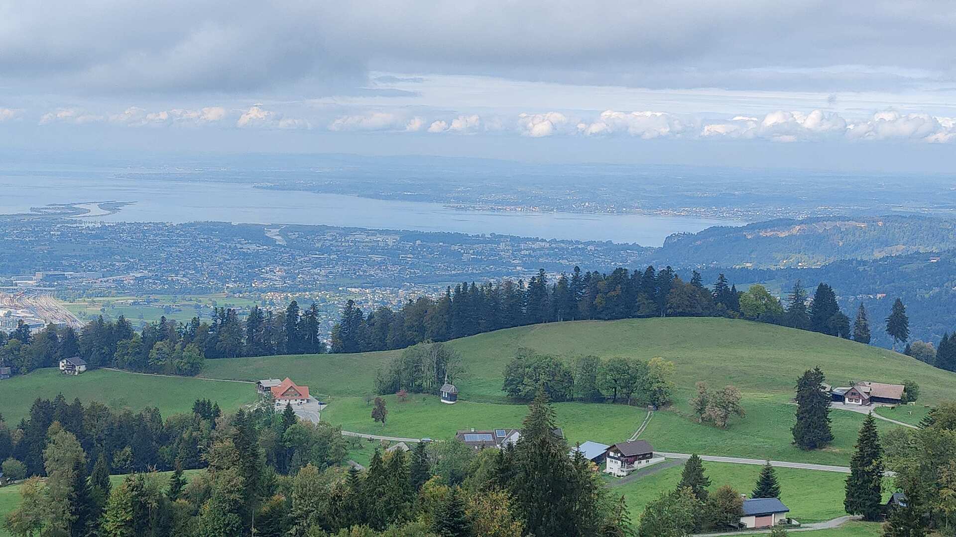
The first glimpse of Lake Constance appears quite unexpectedly after a small bend in the path. I’m overwhelmed. After almost 42 days of hiking, my final destination lies before me, in all its glory and already quite close.
With a lot of euphoria, I start the final descent down into the valley. The descent turned out to be longer than expected, but who’s going to complain after the last one?
Next, there are a few kilometers through the suburban areas in the valley. They aren’t particularly exciting, but in the final stretch, the scenery doesn’t play such a crucial role anymore.
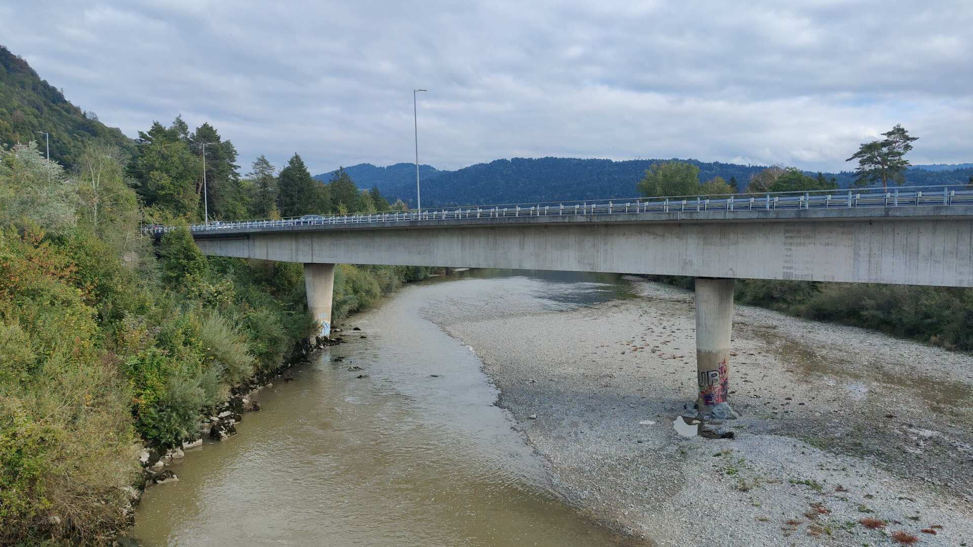
I do encounter the Bregenzer Ache again, but down here, the highway practically forces it underground. I now count 1288, 1289, 1290, and finally 1291. The last kilometer takes me through Bregenz’s old town, which I already know.
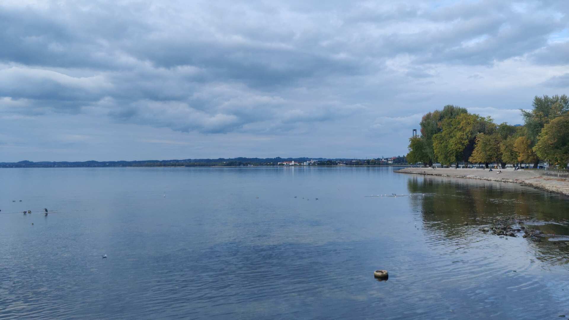
The end of every tour brings a mix of high spirits and a touch of sadness. This is no different in Bregenz. In fact, this contrast between much gratitude and a tinge of regret that there will be no more traveling tomorrow is even greater, as Lake Constance has suffered quite a bit in the months since spring.
The lake level is at a historic low. In that sense, this reunion unfortunately takes on a slightly bittersweet tone. What will be the case in 10 or 20 years? What about in 100 years, or even in thousands of years?
The plan for my 1291 tour was to run about 160 kilometers each month between March and October. That left April and May, and September and October.
In between, it was so hot that hiking was practically impossible. In the south, I would have encountered temperatures above 40 degrees Celsius. I was repeatedly told that even at altitudes above 2000 meters, the temperatures were over 30 degrees Celsius. The summer ski resort at the Stelvio Pass (at an altitude of 3500 meters) even had to close.
The effects of climate change will be far greater than we are currently willing to admit. Water scarcity, landslides, lakes that no longer exist, glaciers that have completely disappeared, agriculture without feed – the changes will be enormous.
Omertà still prevails. For the summer of 2026, 16,000 heat-related deaths are reported in Germany, with the actual number being much higher. Global warming is not a virus; it manifests in many different ways. It also does not mutate into less “aggressive” forms; on the contrary, it is likely to intensify significantly in the coming years.
We have known all of this for at least the past 40 years. We have the power to change our behavior. The statement, “What can I change? It won’t make a difference locally anyway,” is nothing more than an excuse.
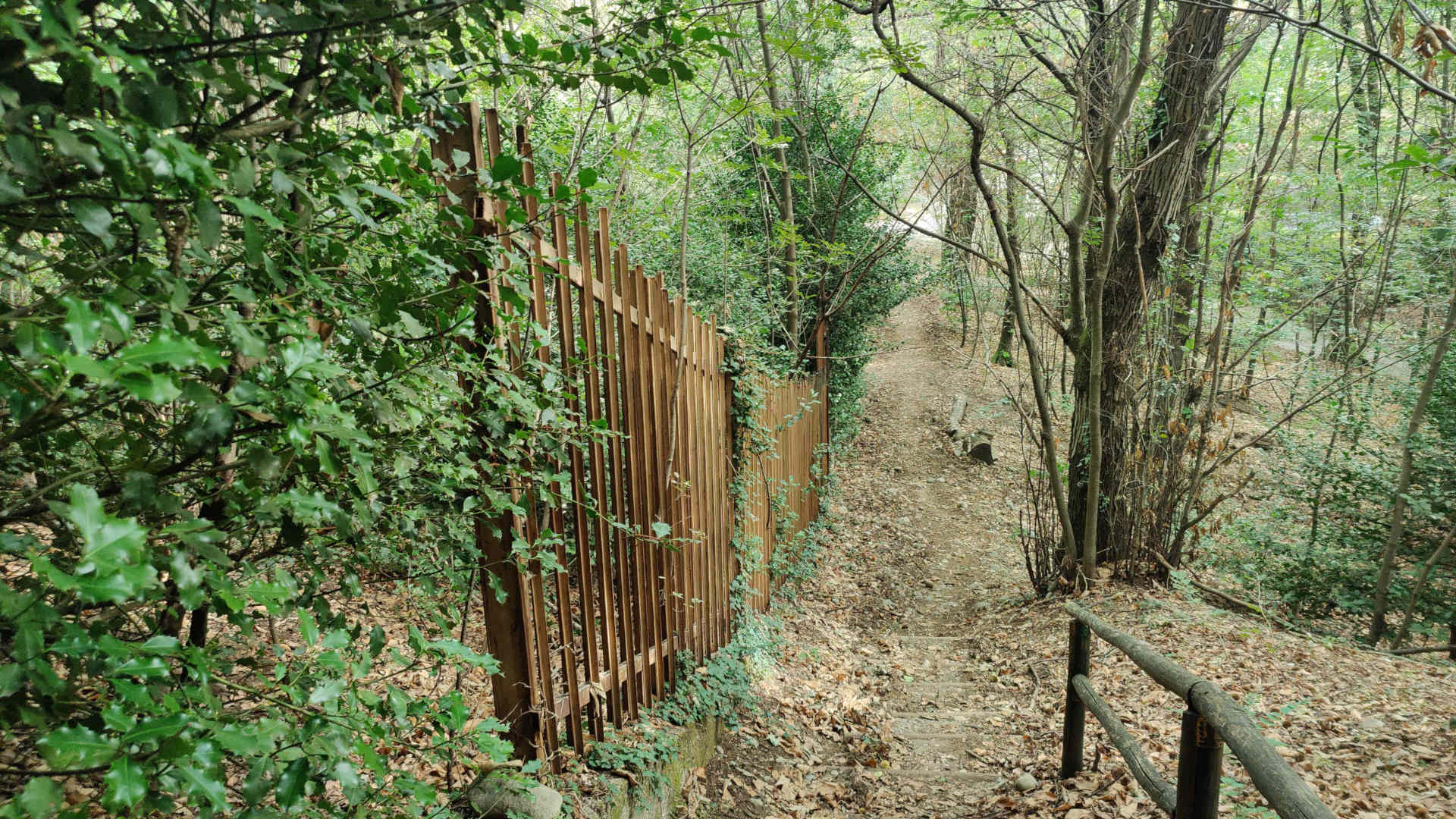
If we just wanted to, then we could. Otherwise, we in Central Europe, from Lake Constance to Lake Varese, will be left high and dry. Climate change knows no borders.
Apart from that, during those 1291 kilometers, I also realized that the borders of Switzerland may have grown historically, but they don’t really make sense. Ultimately, we’re all in the same boat. It’s high time we stopped ignoring this fact.