There are still a good 250 kilometers to go before I get back to Bregenz. I’m planning to do it in eight days. That’s quite a challenge. Nevertheless, I’m going to give it a try. I don’t think I’m going to be completely happy about it.
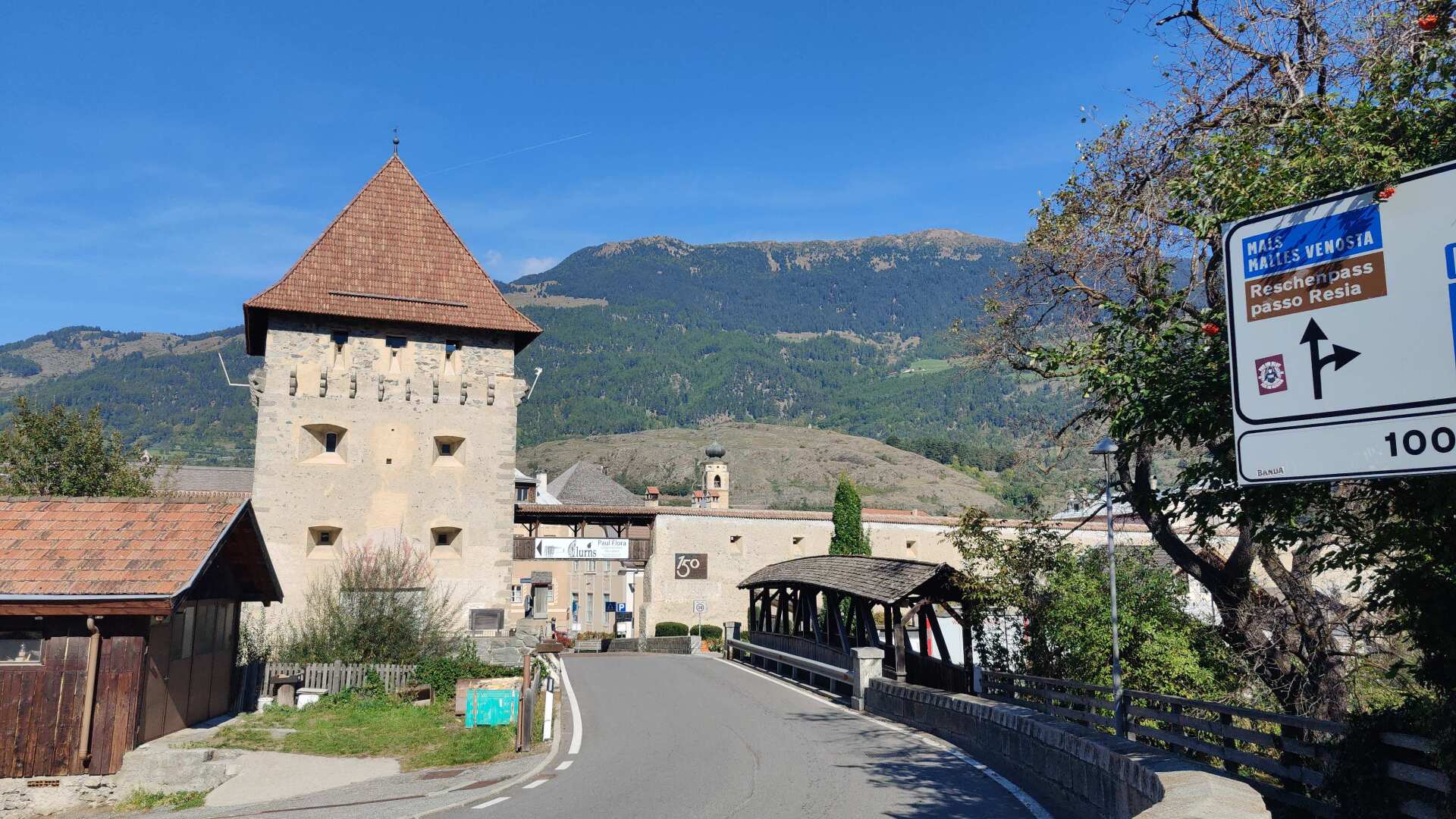
Day 35: Late shift to Bormio
The plan is to start running in Tirano at 11 a.m. I should then arrive in Bormio around 7 p.m. I haven’t factored in the fact that there can be occasional train delays in Switzerland. And unfortunately, this is the case today on my journey to Tirano.
In the Engadine, my train is stopped for a good half hour. There are no announcements made on the train, not even when it arrives in St. Moritz, over 20 minutes late. Nobody knows what’s going on. Fortunately, the Bernina Express is waiting, so the delay should be “only” an hour at worst. In the end, it’s only 30 minutes in Tirano.
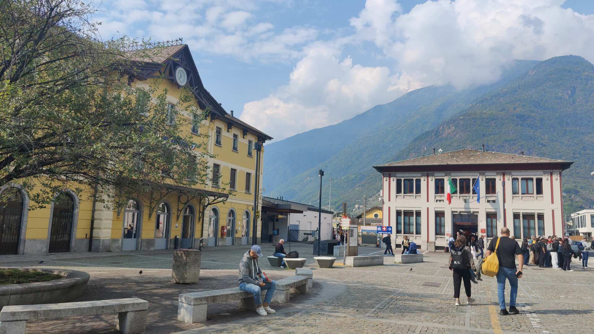
However, I still need to stop at the pharmacy in Tirano; I wouldn’t dare go on the slopes without another tube of arnica cream. I also need groceries. There are grocery stores in Bormio, but it would be quite a detour.
There’s a long queue at the pharmacy, and I need to find the grocery store. Accompanied by the midday chimes of the bells, I leave Tirano. Ahead of me lie 37 kilometers with about 800 meters of elevation gain. What have I gotten myself into this time? It’s just that there was simply no accommodation to be found between Tirano and Bormeo.
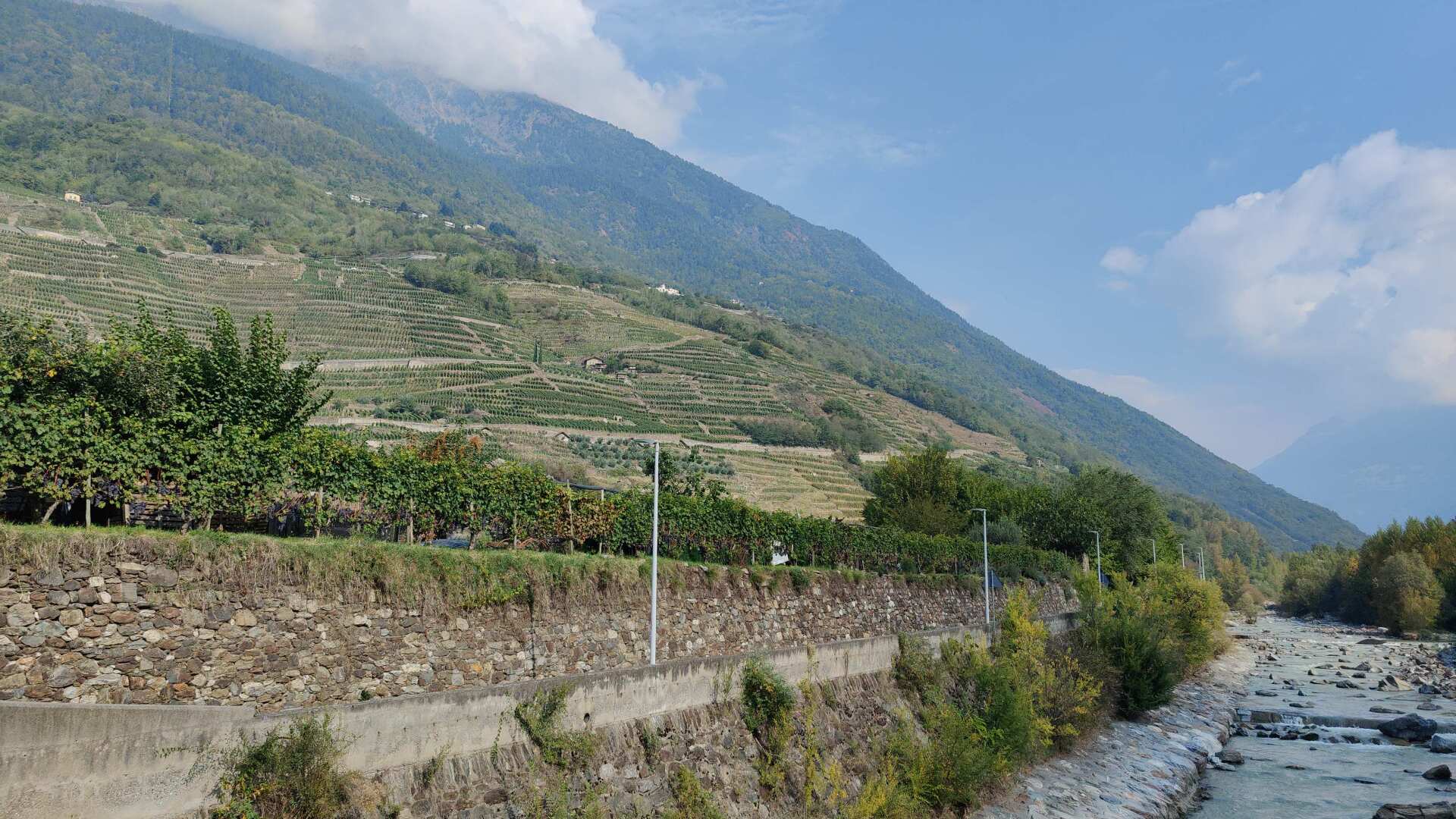
The road leading up to Bormio isn’t exactly bursting with scenic highlights right now. The bike path is well-maintained and mostly follows the Adda river. I don’t see many cyclists, but I do see more joggers. They’re not running incredibly fast, but fast enough that I’d have to start running myself to keep up.
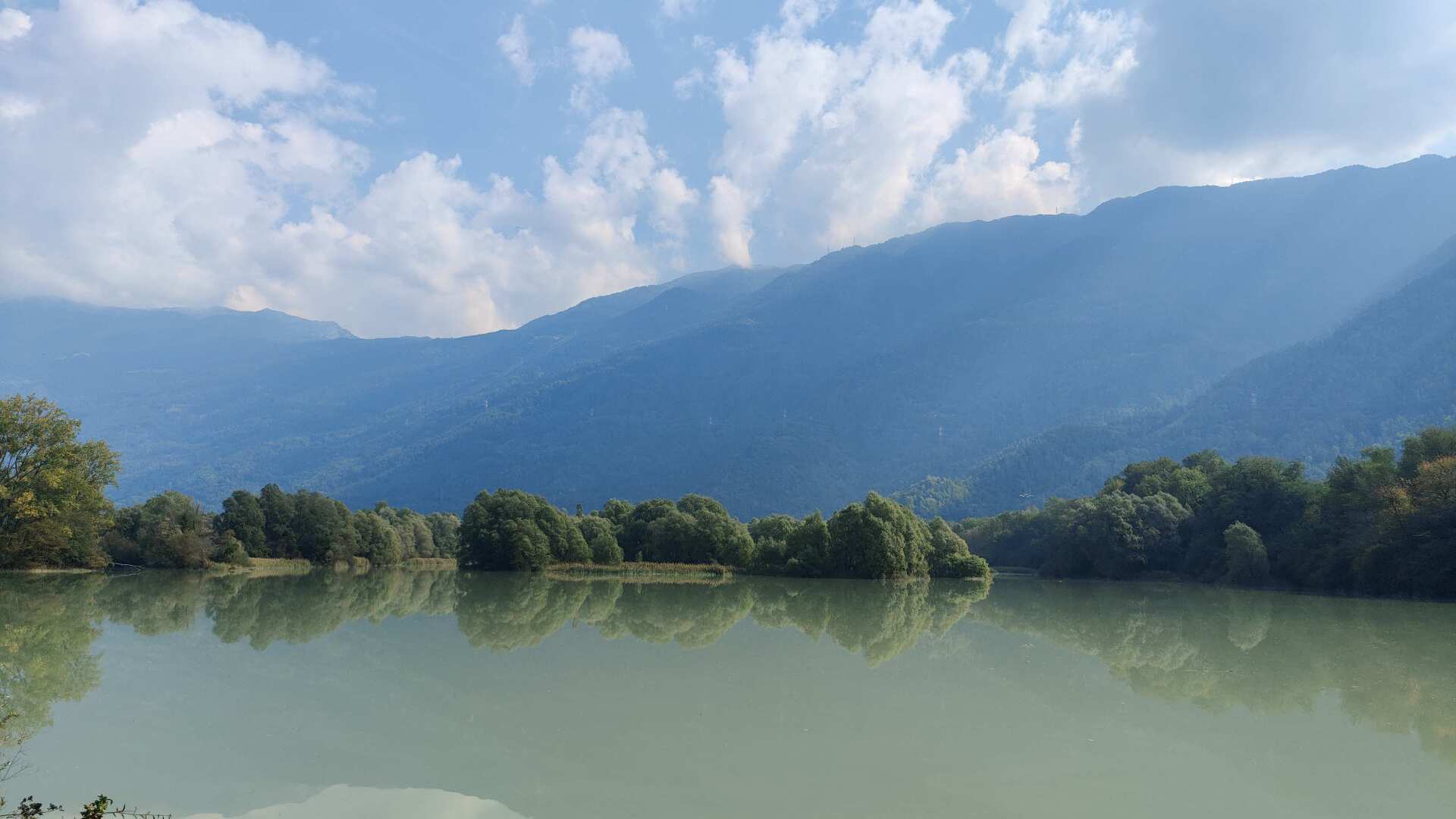
If I wanted to keep up, it would be like running a marathon in the afternoon while wearing a backpack. That’s beyond my capabilities. I’ll stick to a brisk pace, which means the kilometer markers will pass by slowly.
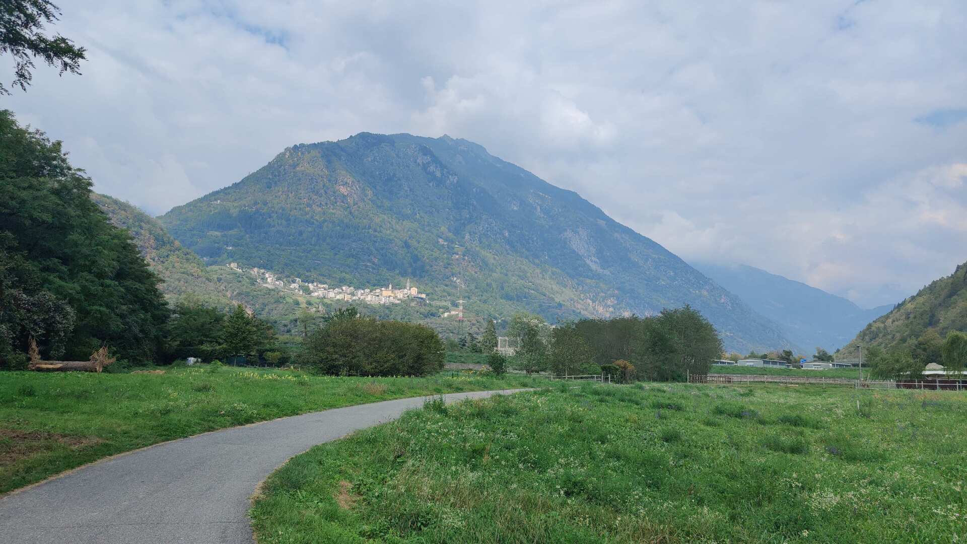
The valley is noticeably getting narrower, and I only come across villages or hamlets rarely now. After two hours, I have covered 11 kilometers, with 25 kilometers remaining.
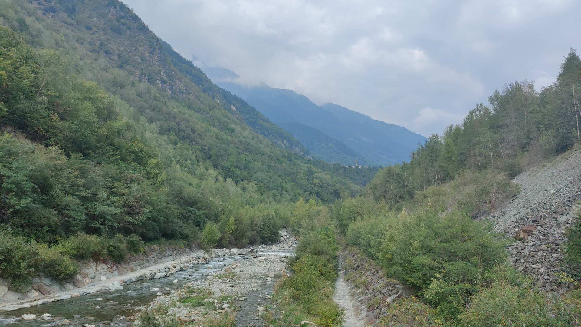
The bike path now includes some fairly steep inclines. This is probably one of the reasons why I see so few cyclists on it anymore.
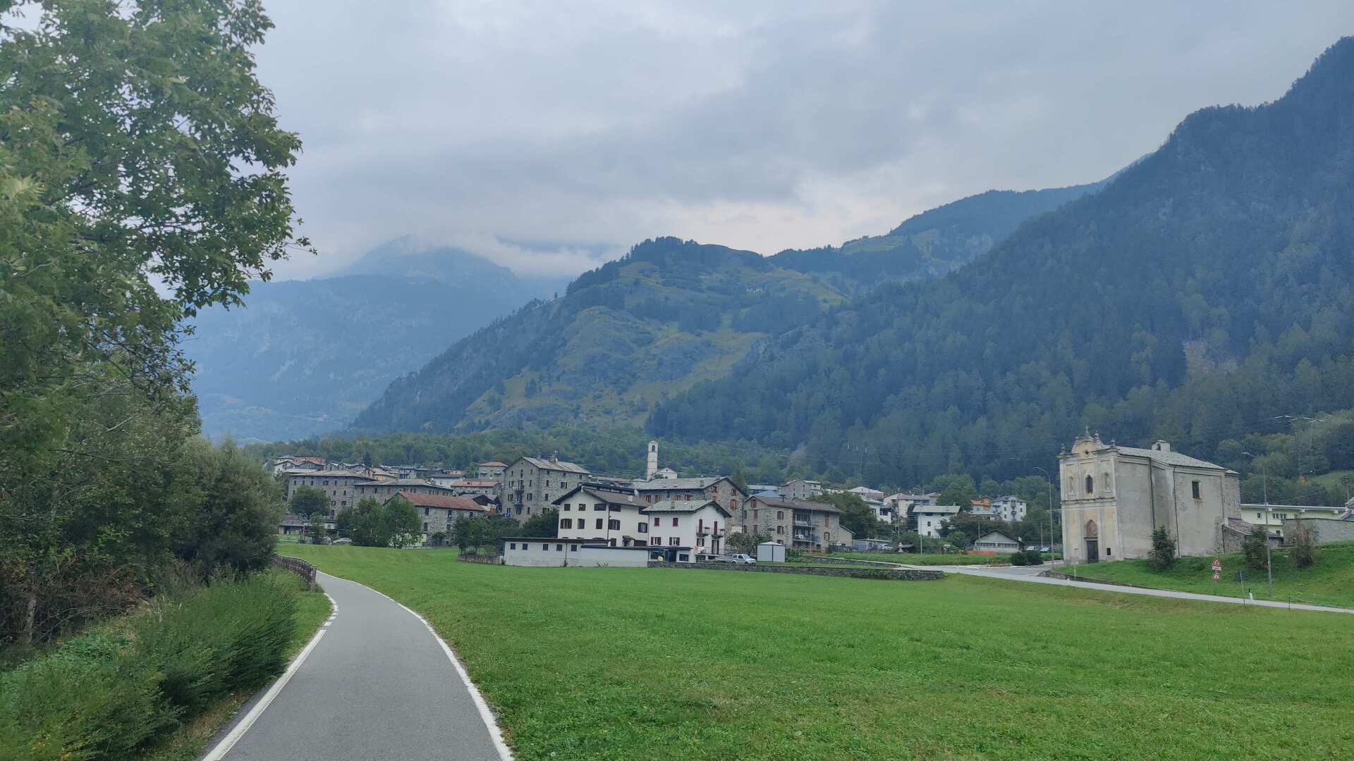
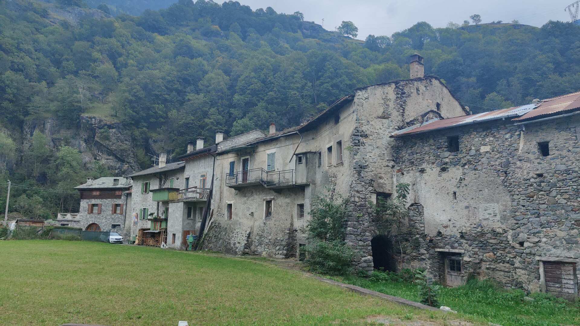
After many days spent more or less in the plains, I arrive back at the first mountain villages. The Italy I’ve come to know over the past two weeks no longer exists here.
Instead, I find an imposing highway overpass. It’s so high that the noise below is virtually nonexistent. The goats look at me as if they’re trying to tell me, “You’re on the wrong track.”
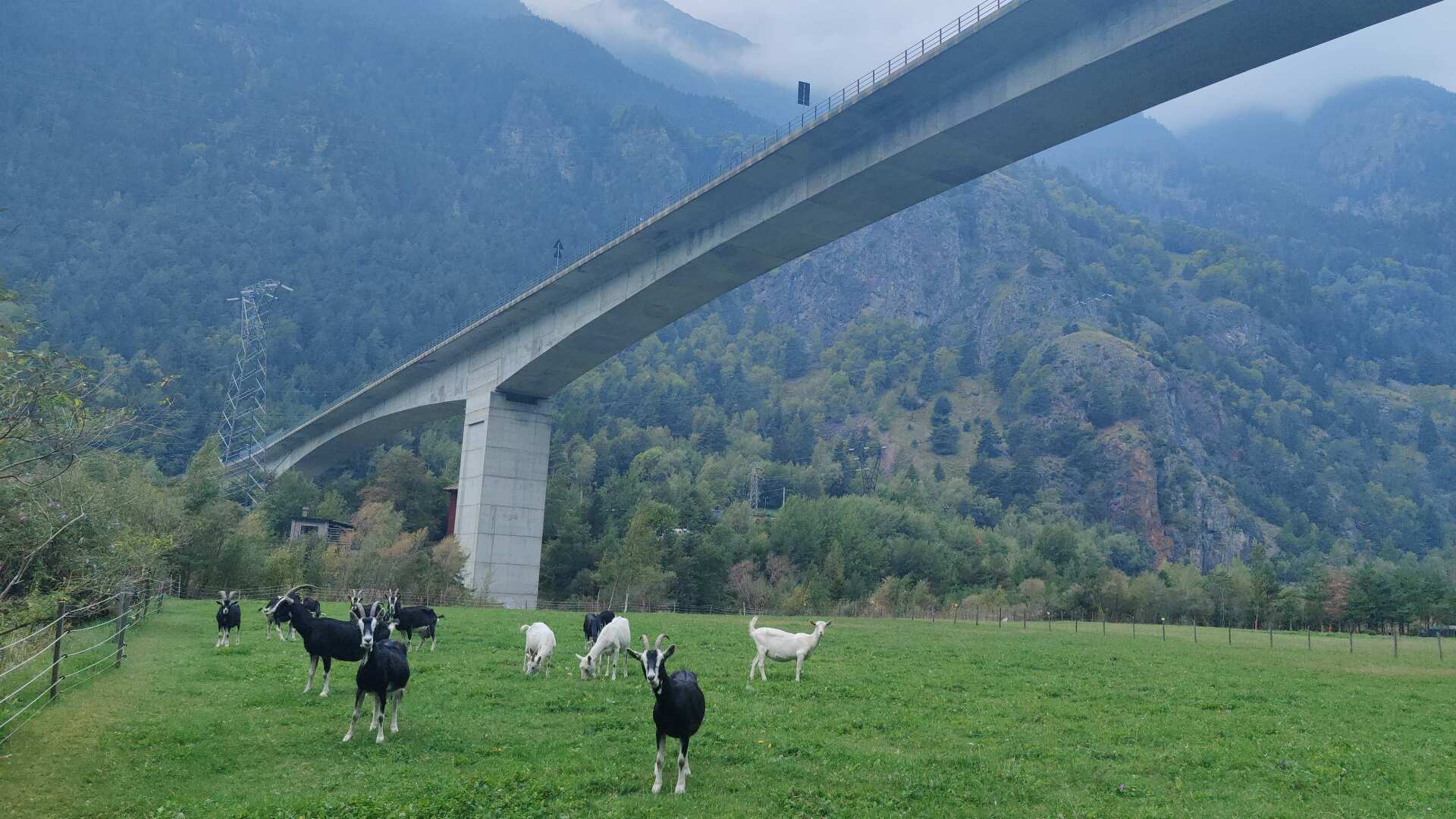
Unfortunately, you may be right. My path seems to be getting narrower over time. At first, I enjoy hiking on nature trails, but later I end up lost among the rocks, with no path to follow.
Massive piles of rock have probably buried the old path for dozens of meters. Getting through is difficult. Once again, I realize that a small shortcut can also be a dead end.
I might save 200 meters on the route, but I’ll spend more than half an hour navigating the massive rock formations, slowly making my way meter by meter towards Bormeo.
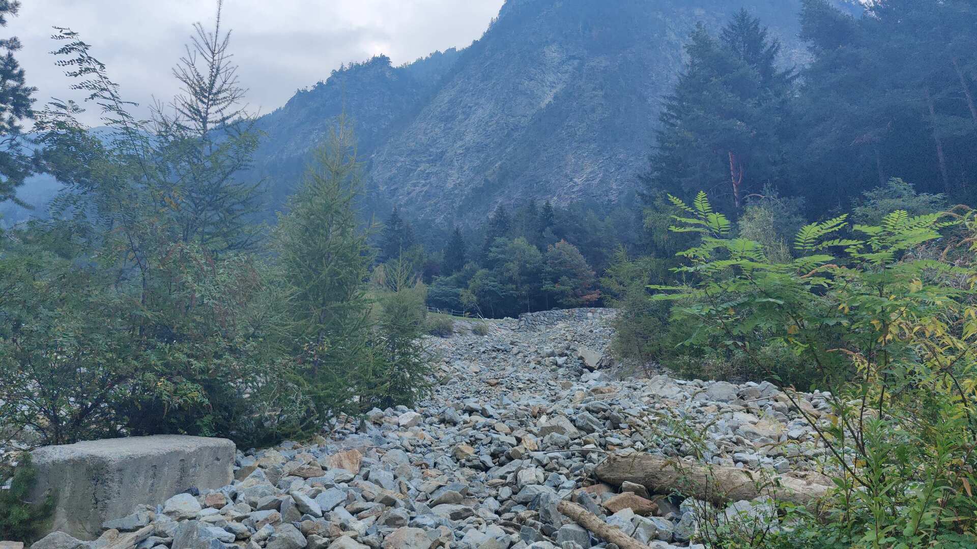
It certainly offers a lot of variety compared to the rather boring and straight bike path. However, I’m just not making any progress. At six in the evening, I still have 15 kilometers to go.
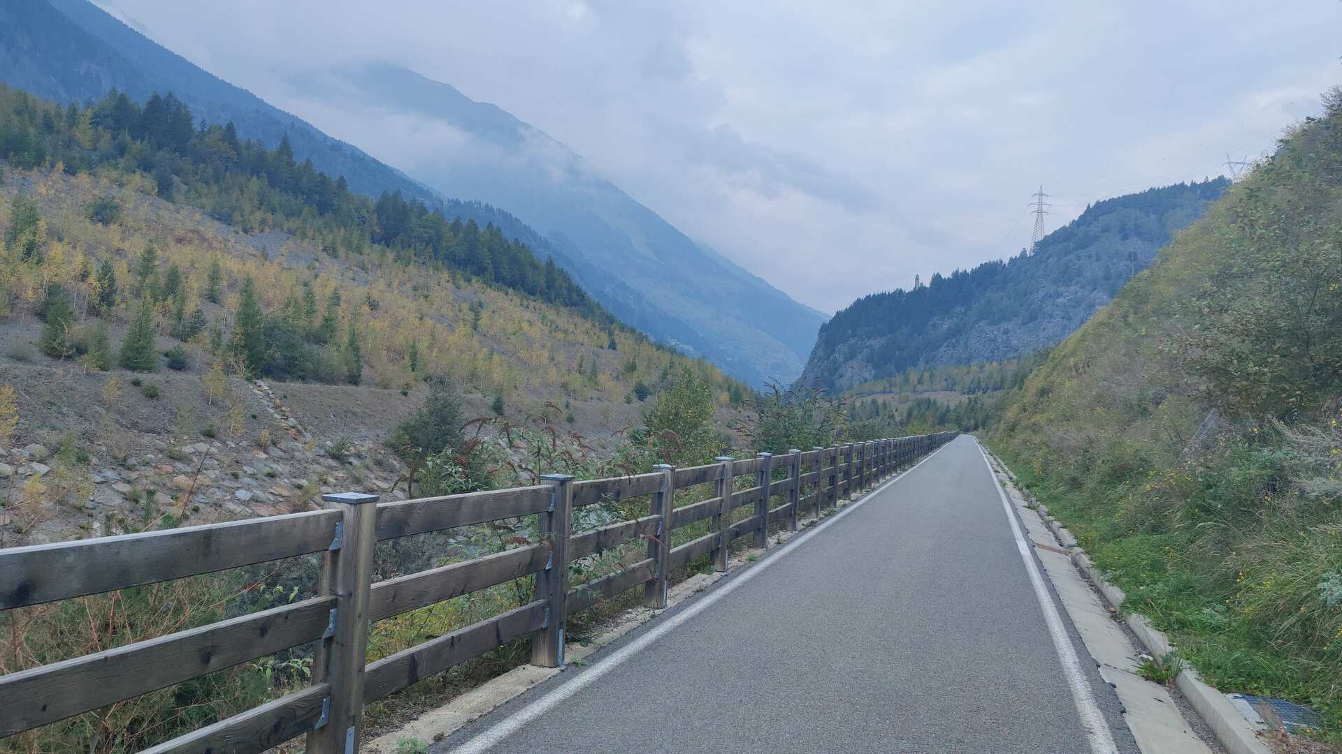
Even if I were to march at a pace of six steps per minute from now on, I wouldn’t be in Bormio before half past seven.
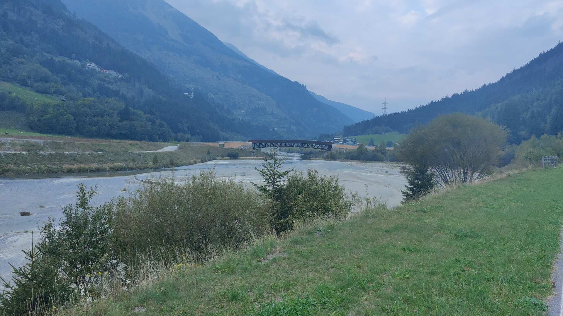
Shortly after seven, it’s already almost dark. At some point, the phone rings. The accommodation asks where I am. I reply that I am one kilometer away from the accommodation.
Shortly after, I check the map in the light of the streetlamps and realize that my estimate was a bit optimistic, as I still have about two kilometers to go.
The task is finally complete, though late. Tired, I put my backpack and hiking poles away in the room. Luckily, there’s a restaurant just around the corner. The food is excellent, but my exhaustion is overwhelming.
Day 36: Staggering across the Stifter Joch pass
The next morning, I realize that the previous day has taken its toll. I feel tired and exhausted. Although today it’s “only” 26 kilometers, the more than 2000 meters of elevation gain are already draining my energy before I even start.
I feel a bit dizzy, but I can’t really say whether I’m actually staggering around like a drunk person, or if I’m just imagining it, or looking for excuses not to walk.
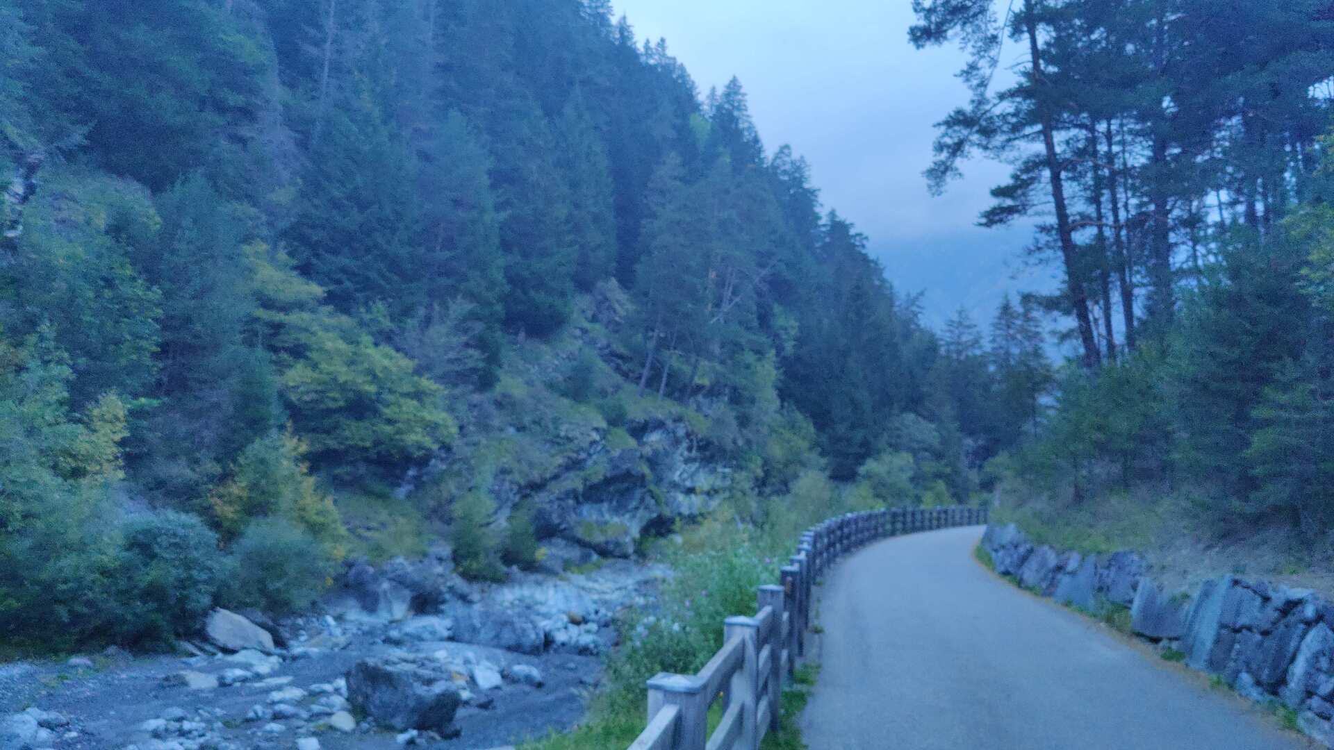
Anyway, I’m not making very good progress. After the first two kilometers, I realize that at this pace, I’ll reach the Stilfser Joch at best around three in the afternoon.
That said, the old mule track is quite a gem. Soon you’ll enter an imposing gorge, and there are impressive views into the depths.
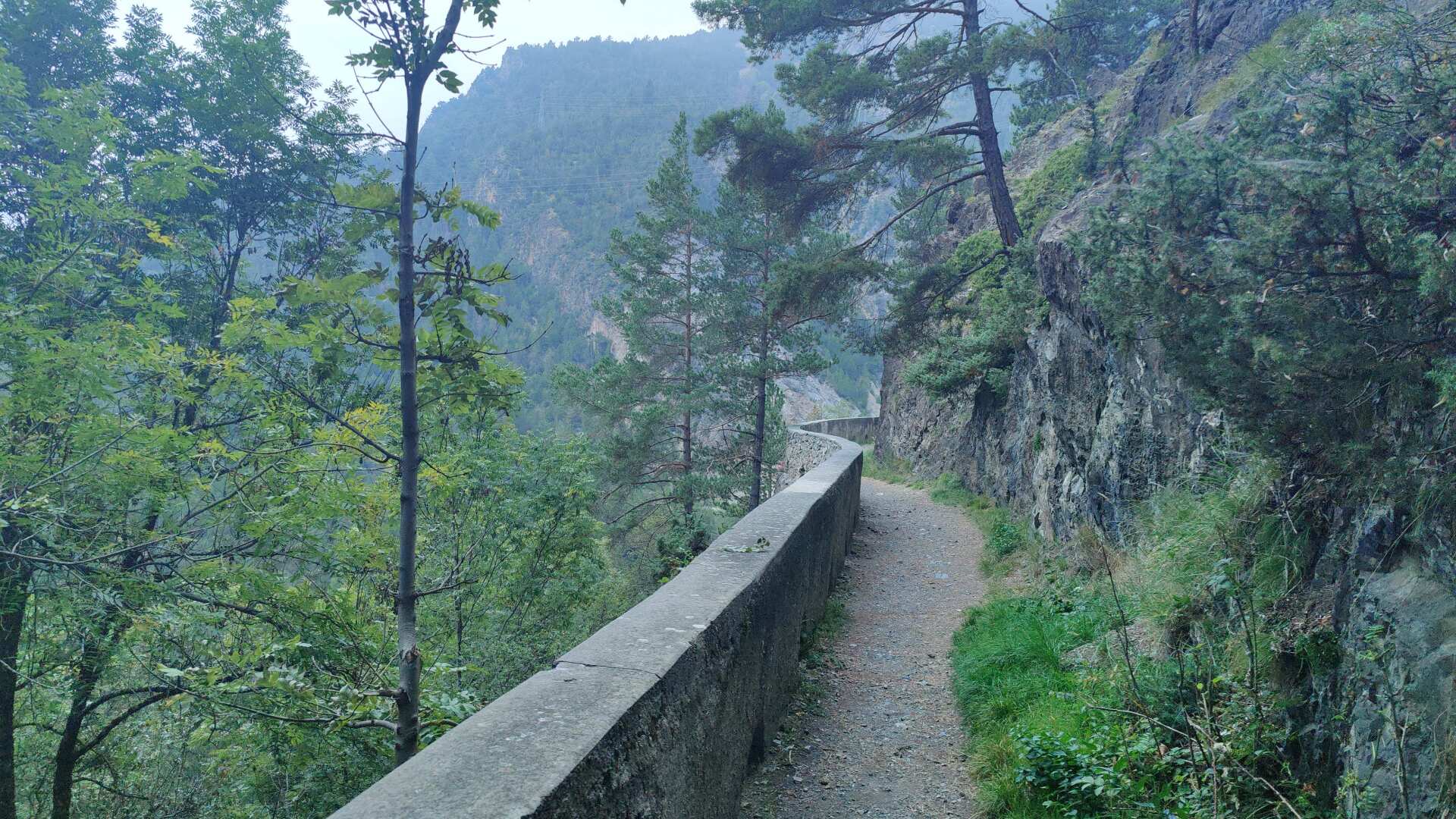
While in the gorge, I miss the turn-off, but luckily realize soon enough that I’m heading in the wrong direction. Well, where there’s no more path, there’s no way to go further.
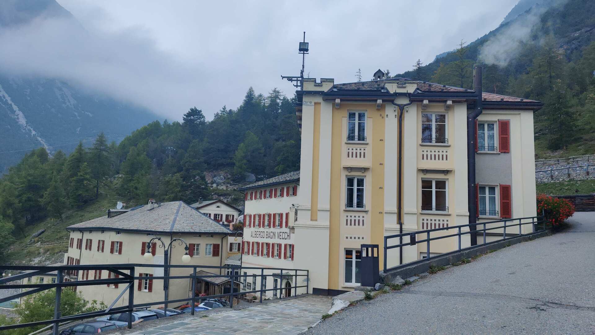
The correct path leads steeply uphill to the Bagni Vecchi, a large hotel complex from the Art Nouveau era. For a long time, the complex was destined to fall into ruin.
Since 2004, thermal bathing has been available again, and the four-star hotel is also open. However, single rooms are only available from 350 Swiss francs.
When I walk past, I simply enjoy the scent of fresh bread. That doesn’t necessarily mean that I’ll feel invigorated and energized for the hike ahead.
It goes uphill along the road. When I see the turn-off, which leads steeply upwards on narrow tracks without any markings or signs, I quickly decide not to take that path.
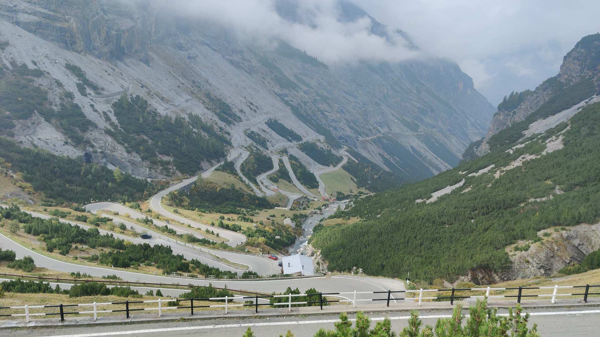
In the worst-case scenario, the route on the asphalt is one kilometer longer, but I can eliminate about 400 meters of elevation gain. Even so, there will still be over 2000 meters of elevation gain remaining.
The road through the tunnels is not primarily designed for pedestrians. But, this Saturday morning, there is little traffic. Mostly, it’s motorcycles that whiz past me. I also encounter some cyclists.
Some are making good progress, but two are so slow that I overtake them. My motivation increases, although the feeling of exhilaration from the altitude starts to level off. The air is getting thinner, and I am now well over 2000 meters above sea level.
I can cross some of the hairpin bends in a straight line, but later on, it’s no longer possible because the terrain would be too steep. Further up, I see a signpost with “Stelvio” on it.
I check the map and realize that I can save two kilometers by following the hiking trail. I’ll leave the Umbrail Pass to the left. Overall, my choice was spot on. In the end, I should save three to four kilometers by taking the hiking trail higher up.
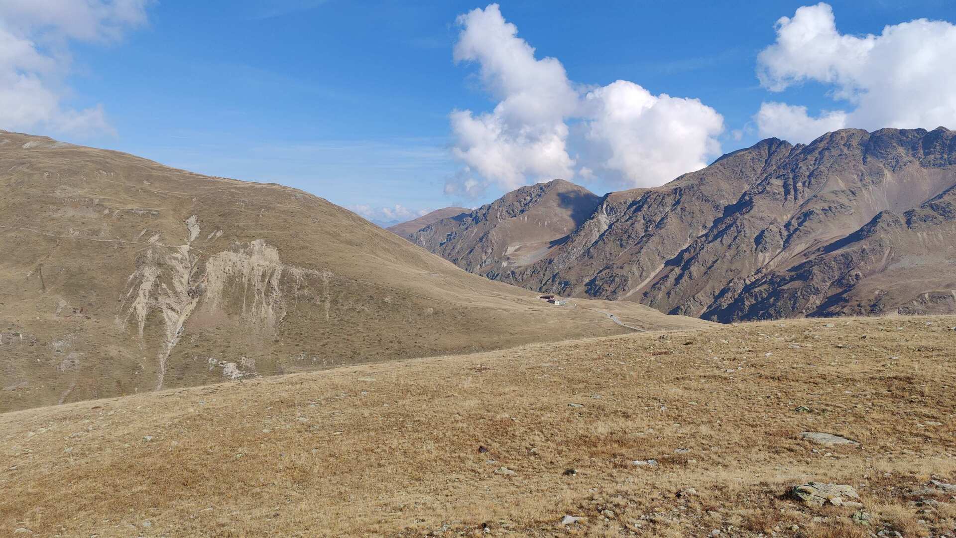
The first glimpse of the Stelvio Pass fills you with joy, but that joy quickly fades once you actually reach the top. When you look at it objectively, it’s simply a damn high pass.
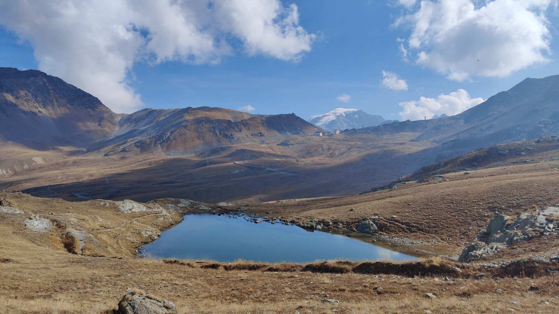
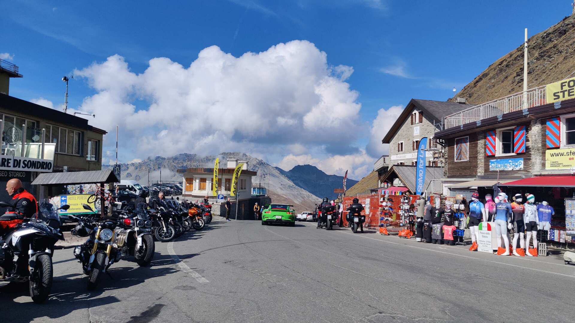
Shortly after one o’clock, I am standing on the pass. The bustling activity at almost 2,800 meters is remarkable. There are many souvenir shops. In the background, I can see the cable cars that lead to the summer ski resort.
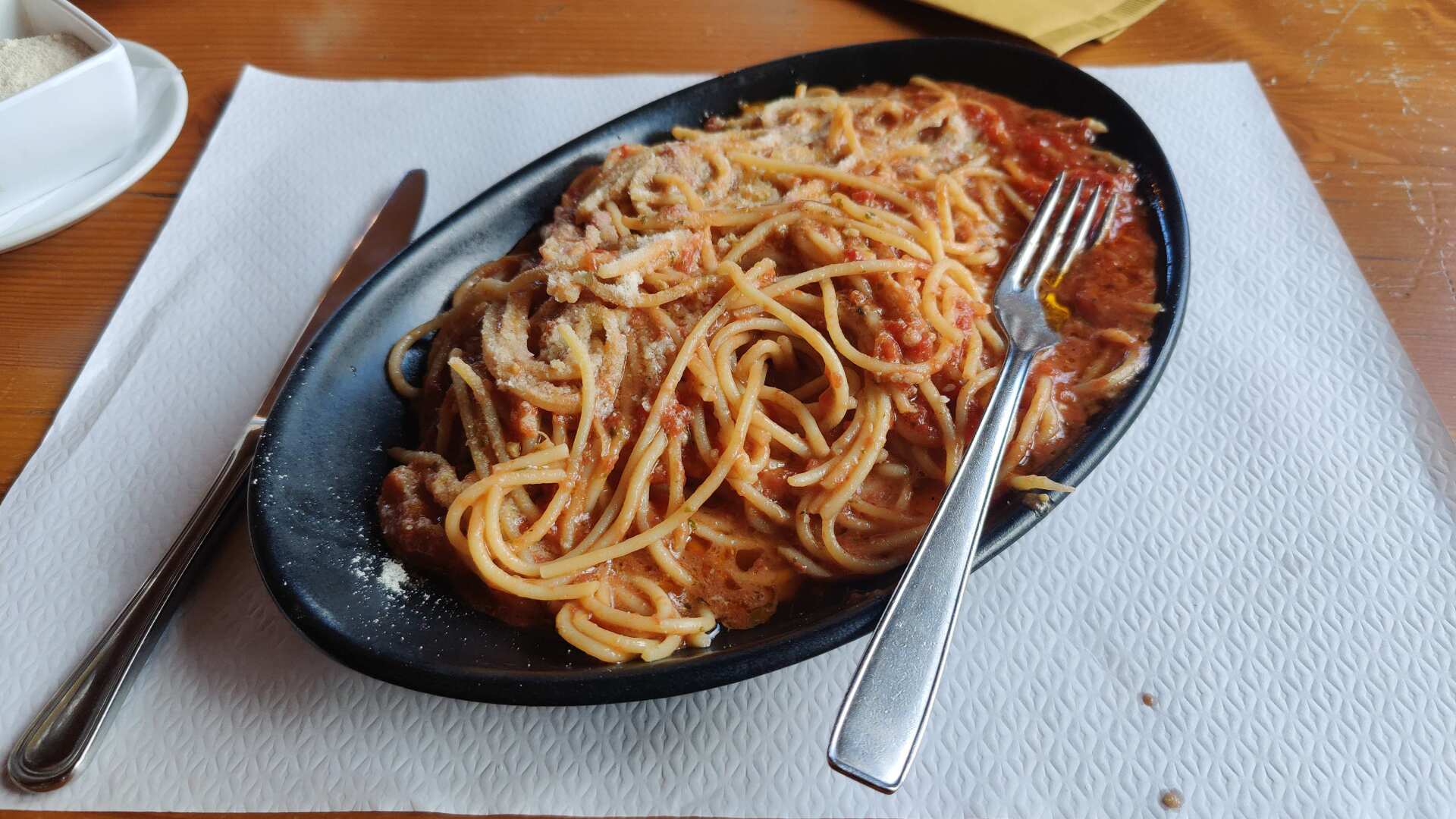
There are numerous restaurants, and I choose the nearest one. The pasta is excellent, and at 11 euros, it’s hardly overpriced.
After a satisfying meal, as I leave the restaurant, I encounter some skiers who seem a bit out of place with their ski boots on.
Summer skiing at the Stelvio Pass has a long tradition. In the 1960s, accommodation for over 2,000 guests was virtually built right at the pass.
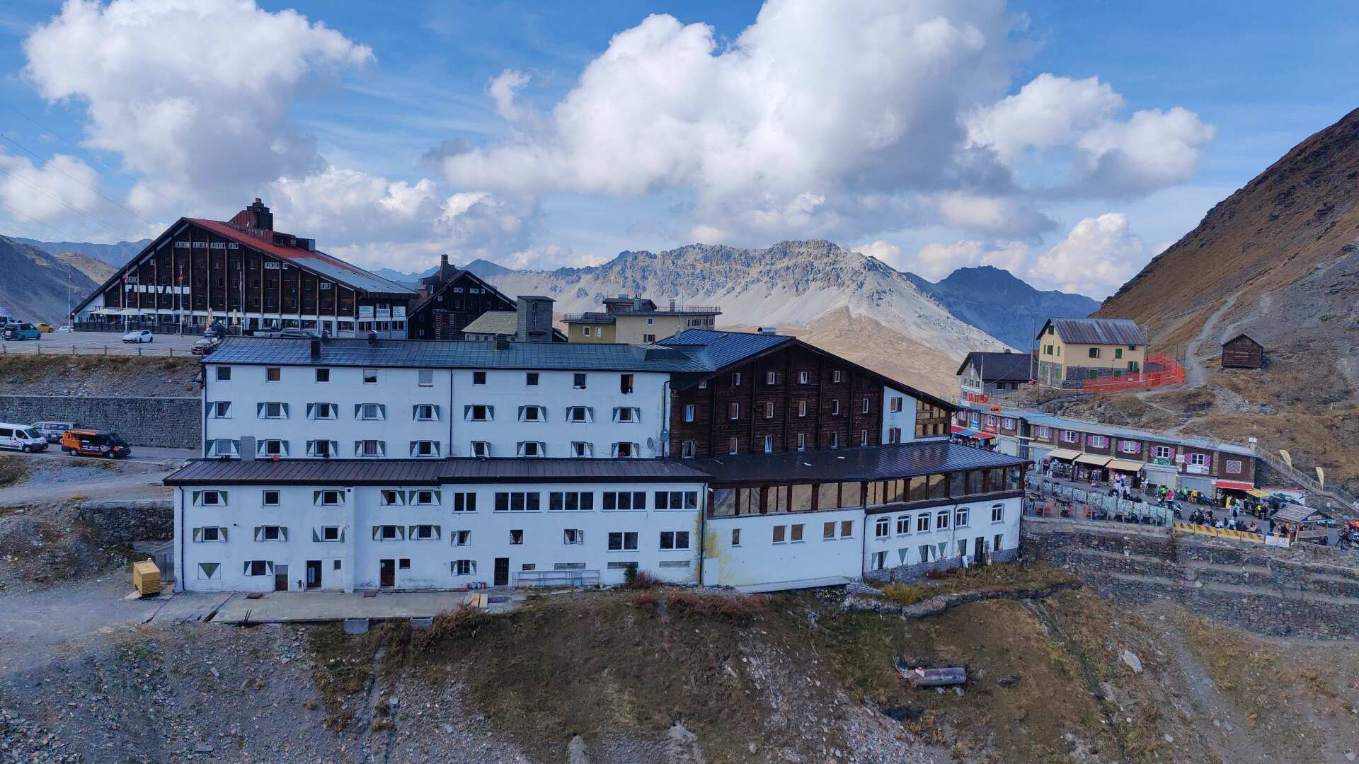
These structures now seem excessively large. Ski tourism is becoming increasingly difficult. In the summer, operations on the glacier, or what remained of it, had to be suspended for months. The remaining period is from May to June and the months of September and October.
In winter, the Stilfer Joch (and therefore also the ski resort on the glacier) is closed. This has not always been the case. After the road was opened over 200 years ago, during the time of the Austrian Empire, the pass road was open all year round until 1848.
Later, for many decades, the Stifter Joch Pass formed the border between the Austro-Hungarian Empire and Italy. During World War I, the front line ran directly through the pass.
Military installations or their remains can be found on the western side along a large portion of the descent trail. After World War I, all of South Tyrol came under Italian control, and the pass road lost its importance.
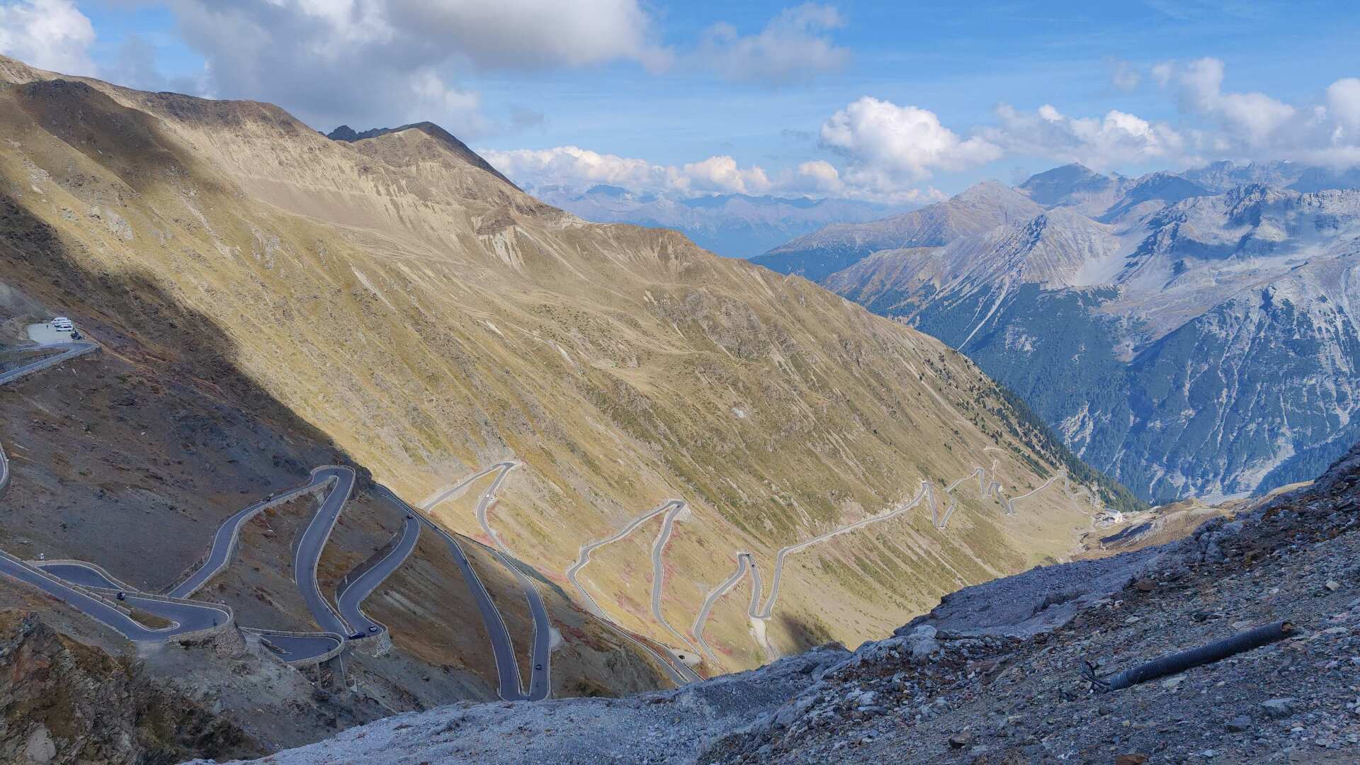
It remains a unique tourist attraction. For both motorcyclists and cyclists, the Stilferjoch pass with its 48 hairpin turns on the eastern side is practically the ultimate pilgrimage site in the alpine world. My journey across it by bicycle was several decades ago. I remember those endlessly long and countless hairpin turns.
Today, my hiking trail runs eastward and leads through a barren, rocky landscape. Just a few decades ago, this area was covered in either glacial ice or perpetual snow.
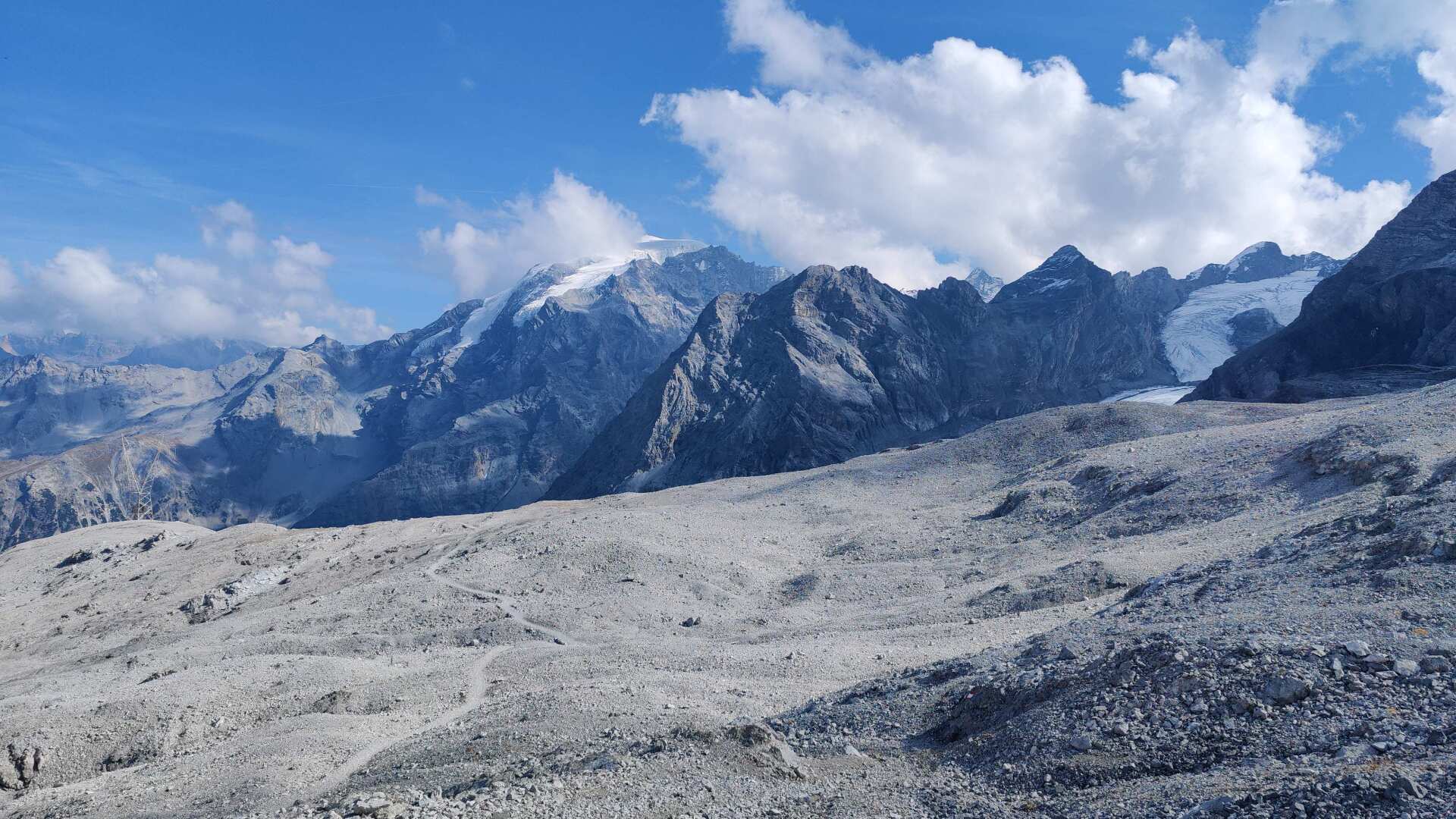
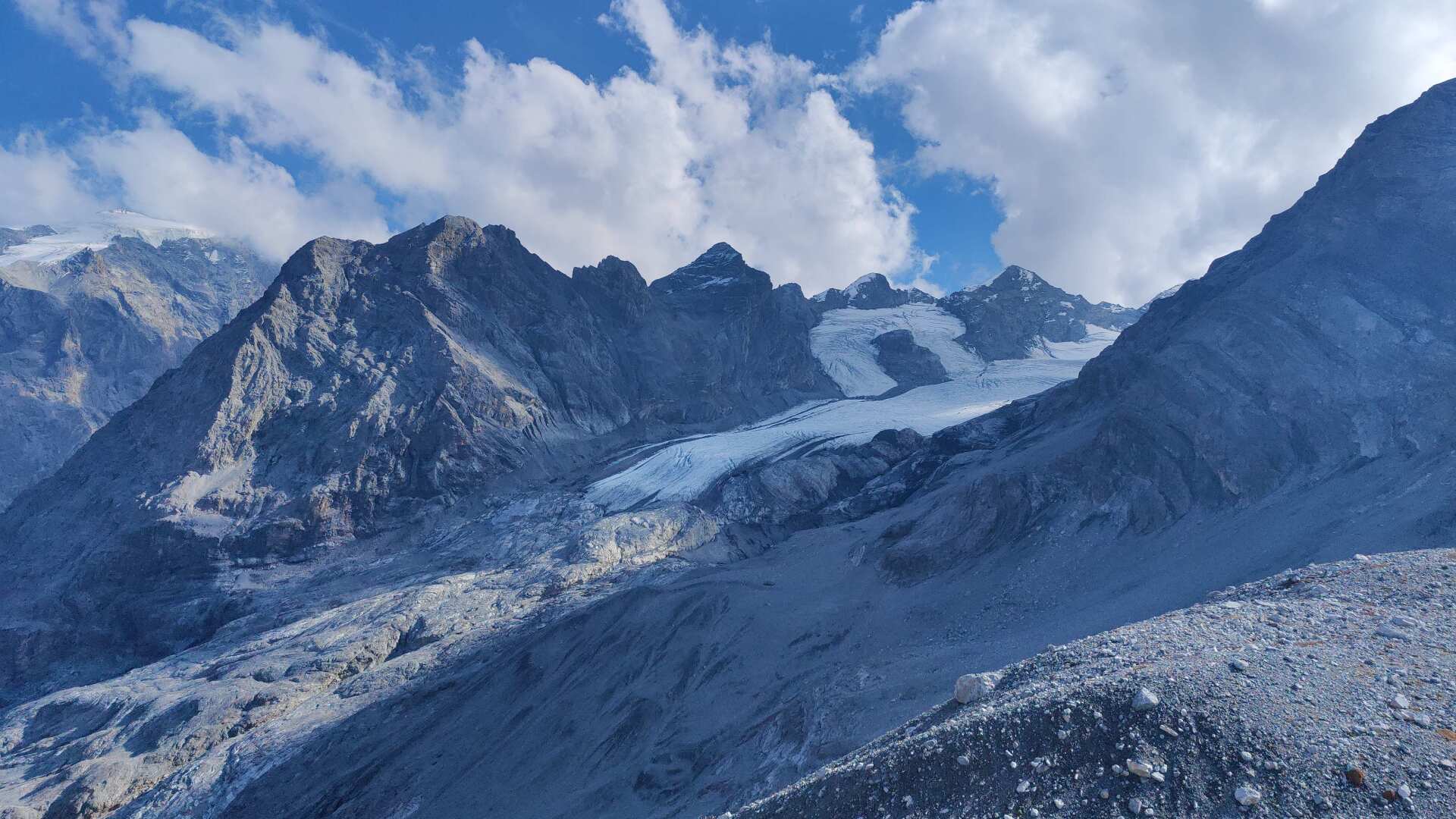
Today, the mountain path leads, completely without snow, down into the valley directly to the Franzenhöhe mountain hotel. In the far distance, there are still glaciers. It is impossible to predict conclusively how long these will last.
Some sources indicate that all glaciers below 3,500 meters will have melted in the next 20 years. Other sources suggest the process will take another 50 years. This 30-year difference is negligible in geological terms.
At half past three, I’ll be at the Hotel Franzenhöhe. Apparently, there’s even a swimming pool here, at almost 2200 meters. I haven’t checked that out. Instead, I’m enjoying stretching out my legs and taking a nap in the late afternoon.
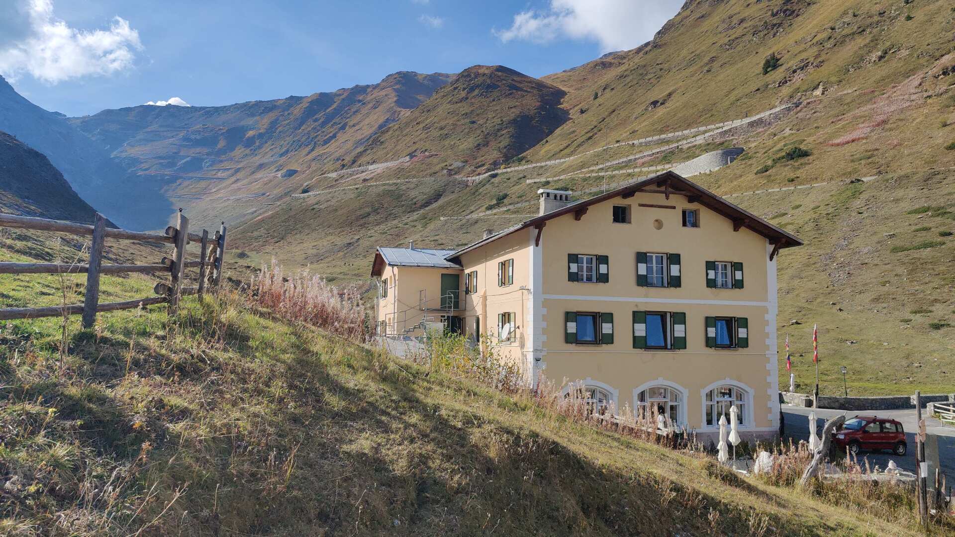
All in all, I feel I’ve handled both yesterday’s and today’s stages of the journey quite well. At dinner, I meet a group from Switzerland who are also staying here with their large motorcycles.
Immersing oneself in their fully motorized world is extremely interesting. With their machines, it’s more about cornering technique, acceleration, and braking. However, the pass through the Stilfers Joch also presents a challenge, even for the powerful machines. And no, riding motorcycles is not entirely without risk. Almost everyone in the group has had an unwanted encounter with the ground at some point.
Day 37: South Tyrol lies at the foot
This morning, I can clearly feel my feet. Until now, I’ve been able to start walking painlessly the next morning, thanks to applying a lot of arnica in the evening. Today, it only works after I apply another thick layer of arnica and wait for another fifteen minutes.
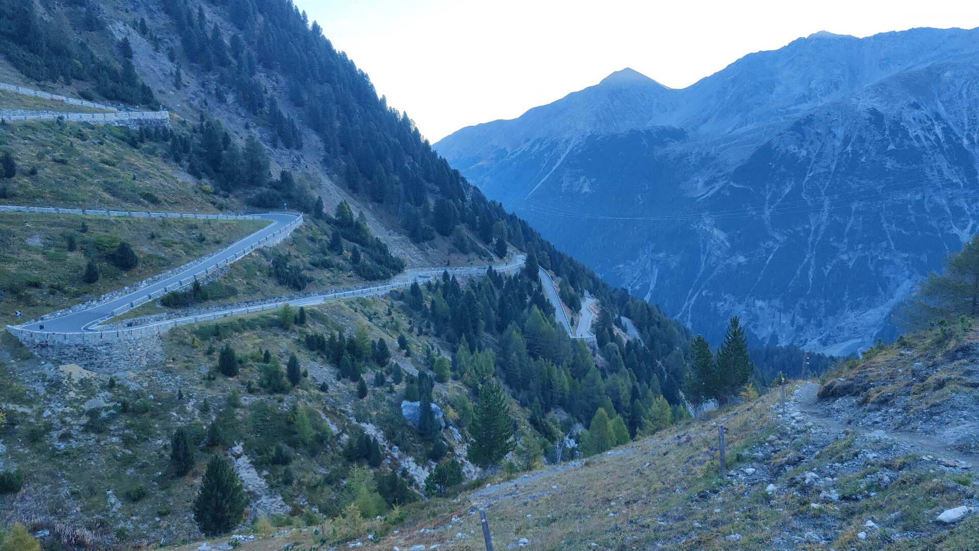
The view down into the switchbacks is as spectacular as the view up. The hiking trail leads down along the right side of the valley.
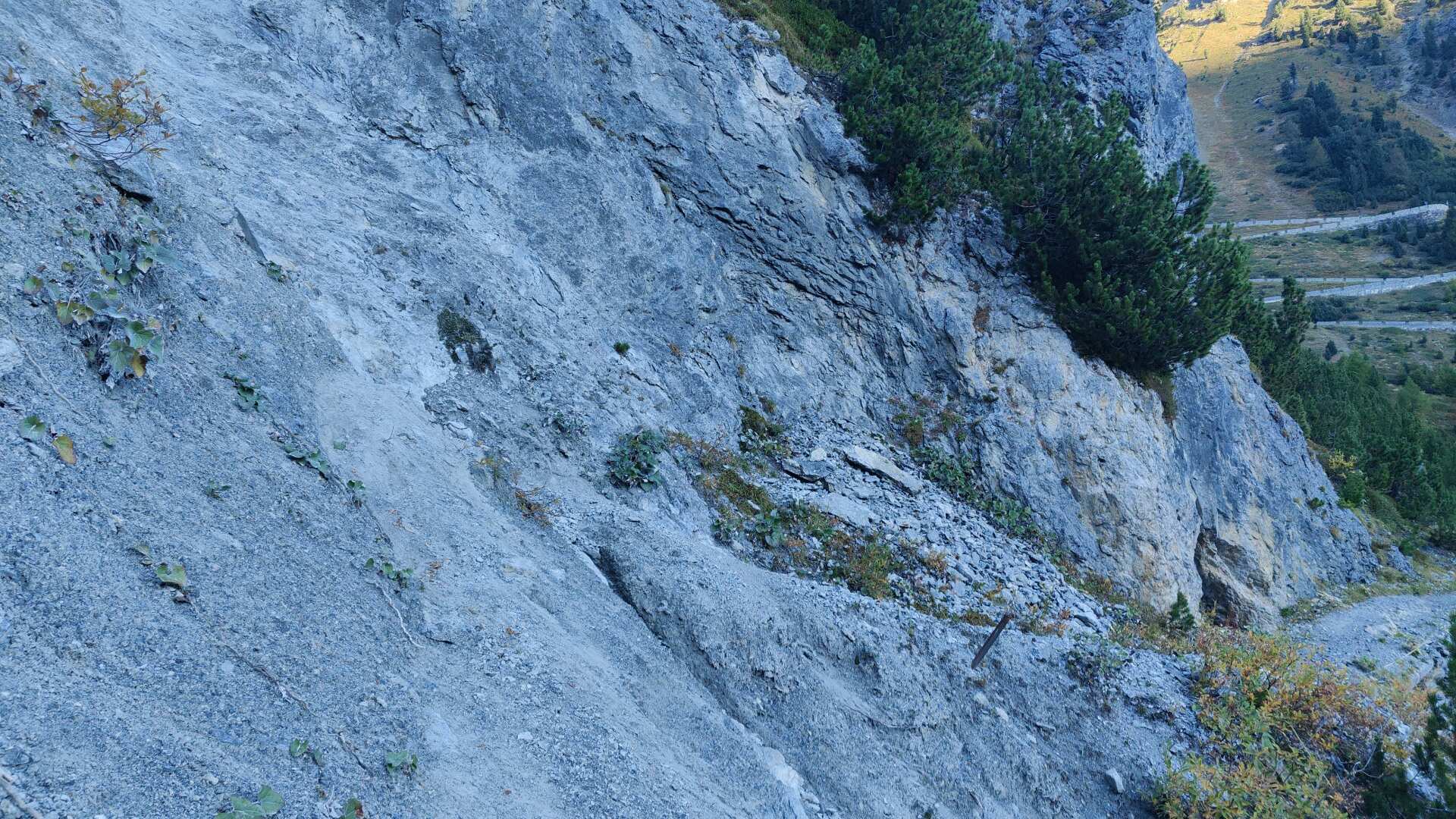
Climate change has left a mountain path, flanked by unstable slopes. One section is particularly treacherous. Slowly and cautiously, I make my way across the scree.
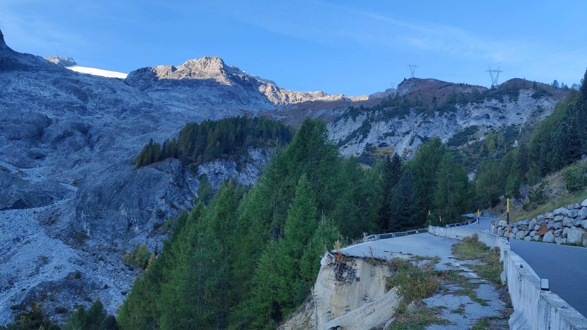
Further down, the path increasingly follows the road, or rather, what remains of it. Let’s just hope that the landslides don’t completely spiral out of control.
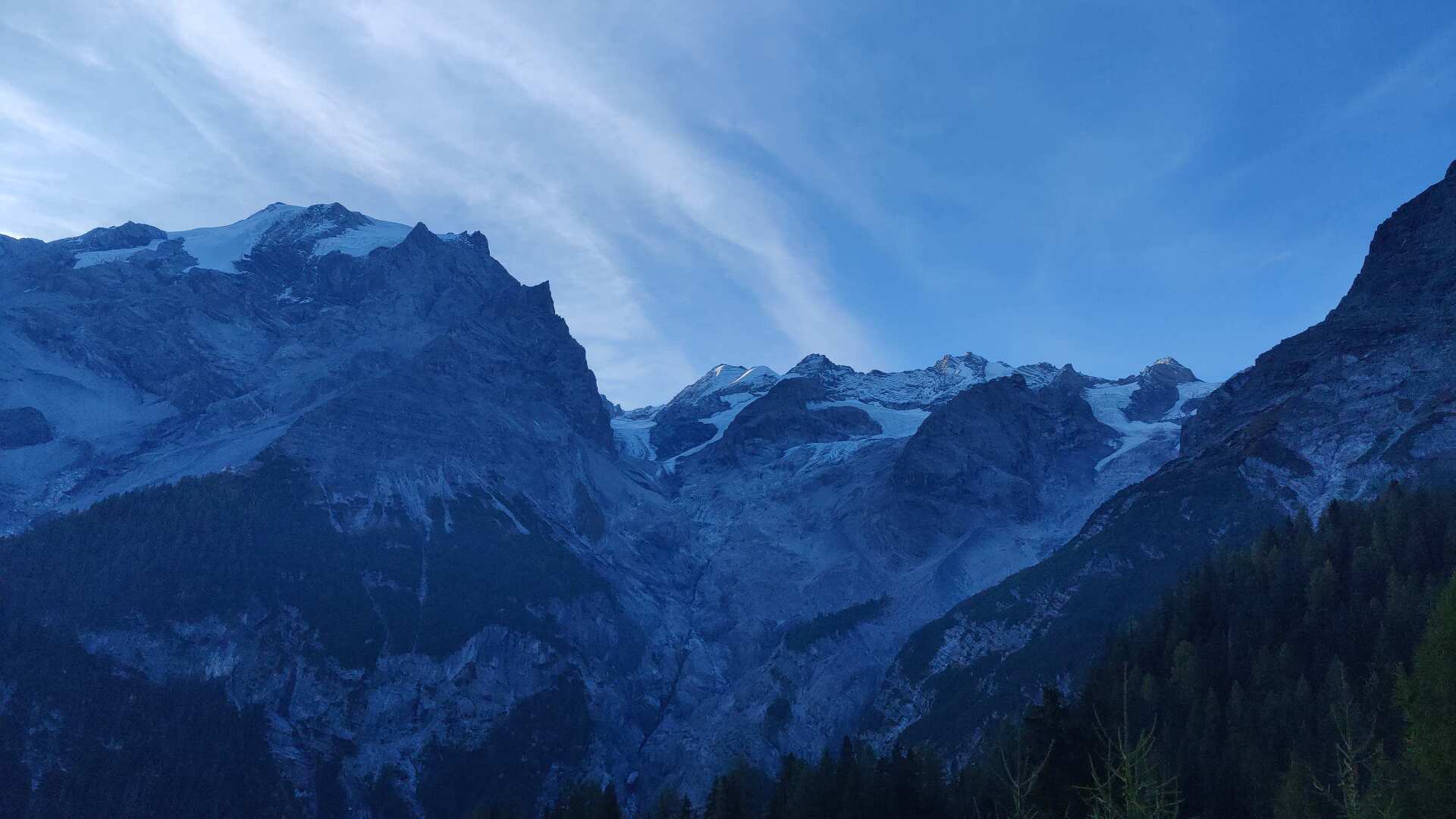
I take one last look back at the glaciers. I am happy to note that I have made it over the Stilfser Joch. From now on, I could also hike back to Bregenz in the winter, as the road is open year-round from Trafoi.
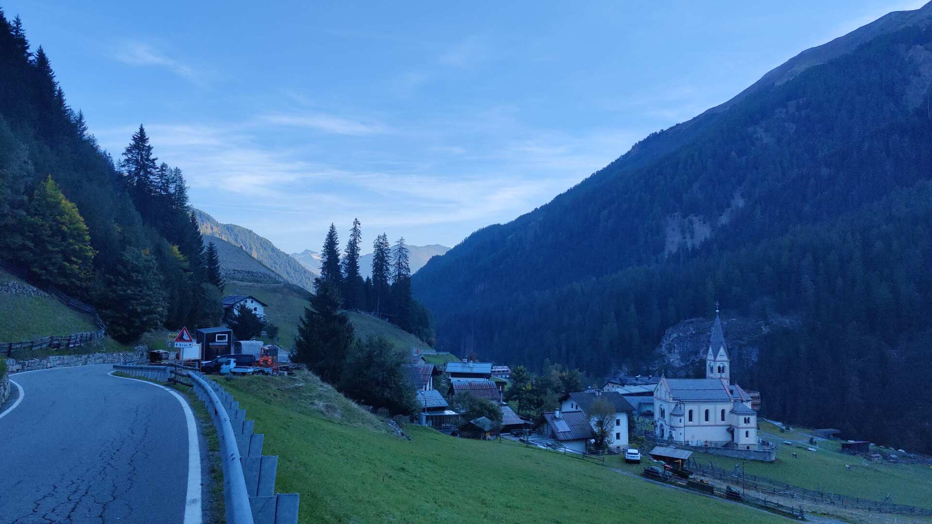
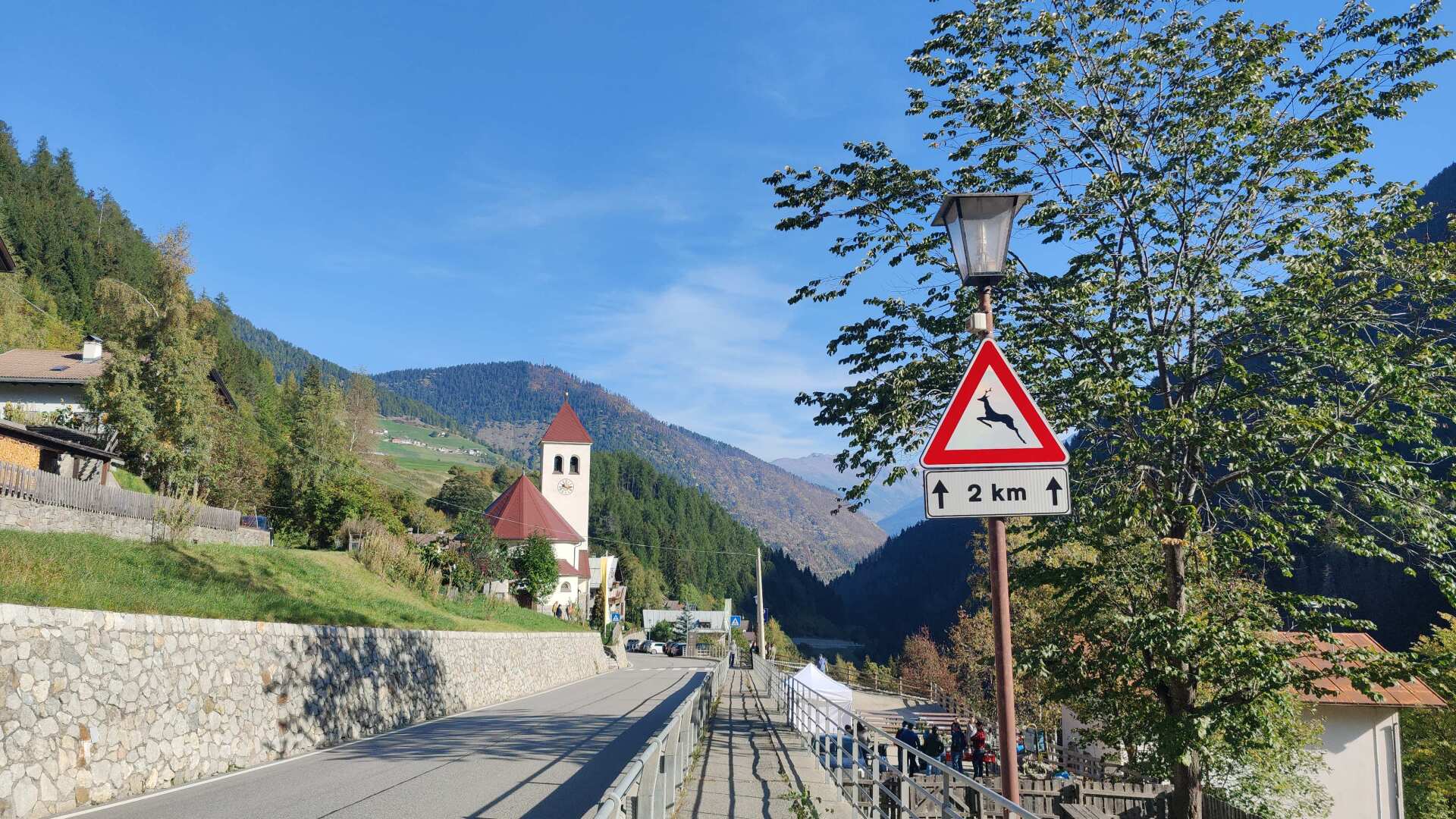
I am definitely in South Tyrol now. Although the place names are written in two languages, the warning sign about wildlife clearly shows that German is the primary language here, even though we are still in Italy.
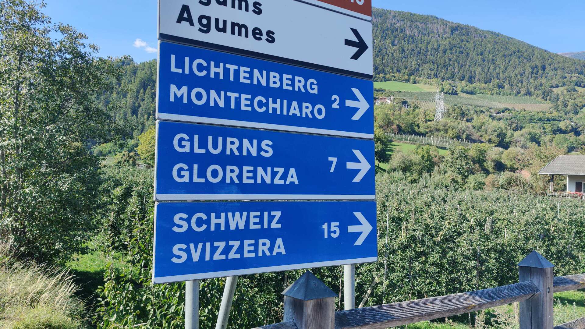
At the bottom of the valley, I have reached the easternmost point of my tour. Switzerland, specifically the Münstertal valley, is only about 15 kilometers away.
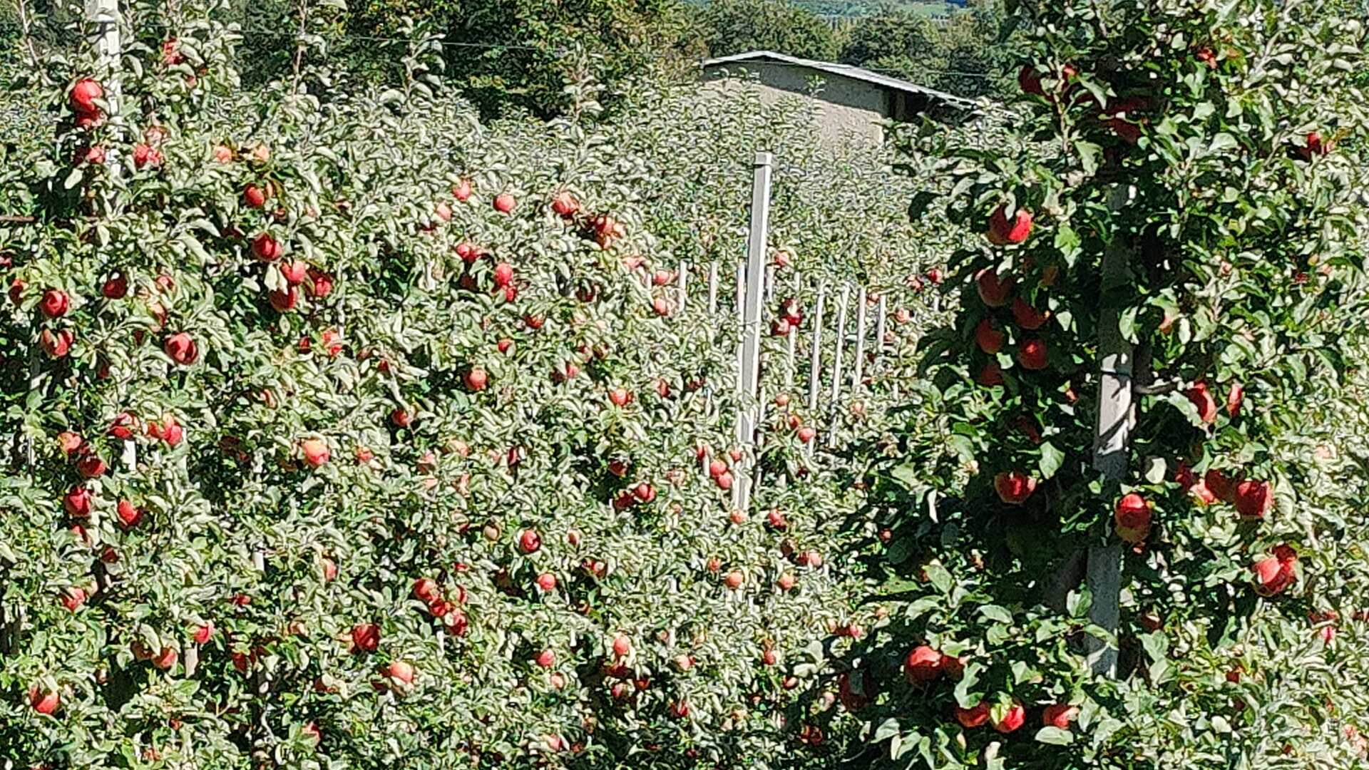
I wander through many orchards, and everywhere there is a distinct, but very pleasant, scent of fresh apples. This Sunday, there is a lot of activity in the plantations.
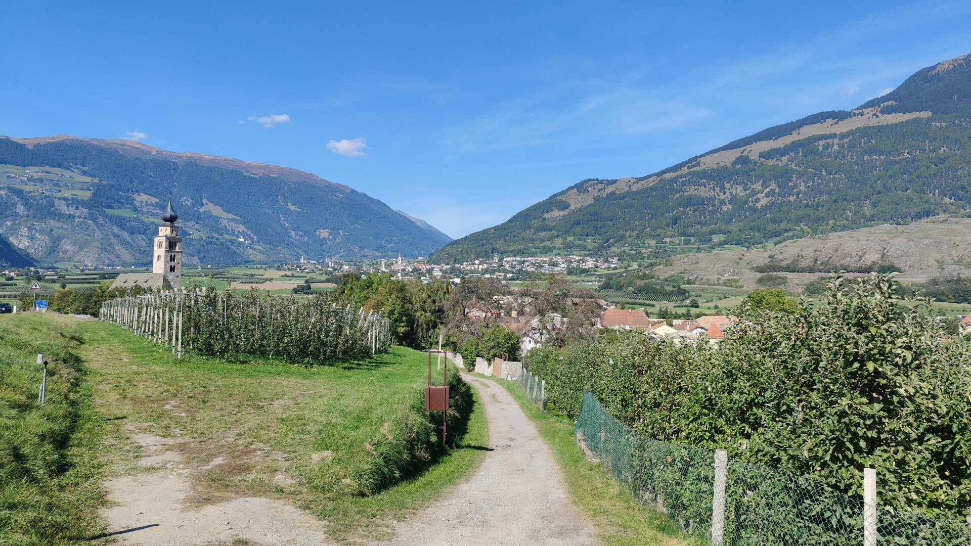
My path leads me along the cycle path towards the Reschen Pass. Many e-bikes whiz past me. I also see Swiss postal buses with trailers for bicycles. It seems as though South Tyrol is firmly in Swiss hands.
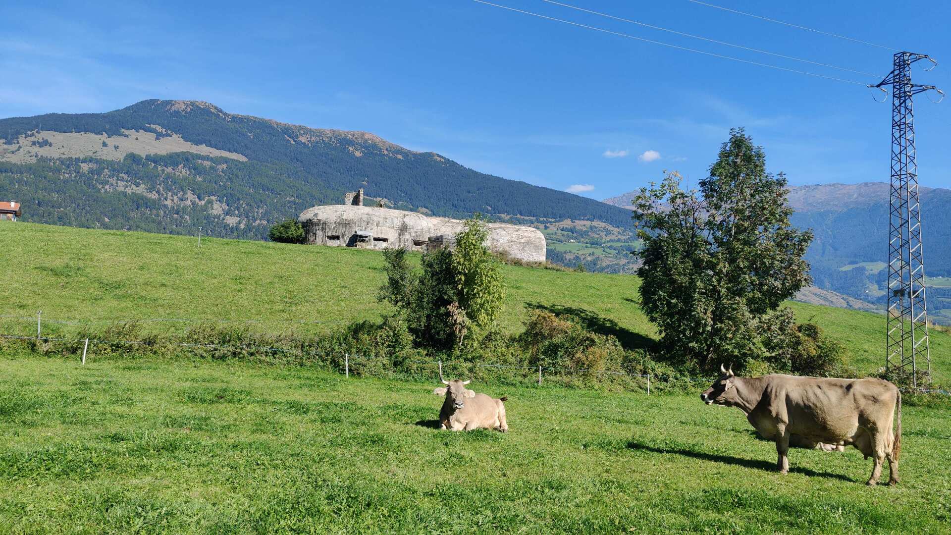
In the second half of the climb, I encounter more and more cows. In terms of scenery, these are idyllic moments. In terms of smells, I somehow preferred the orchards.
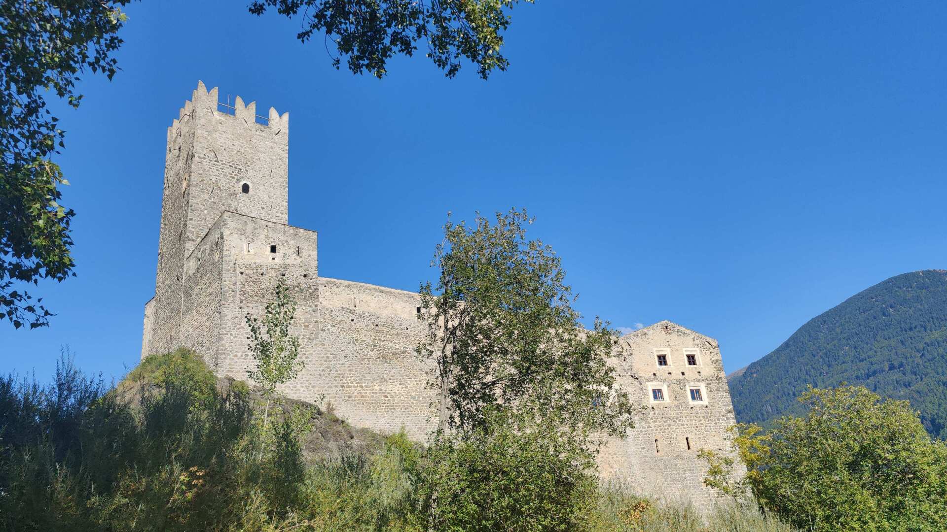
My path leads directly past the Fürstenburg. This imposing fortress was built in the 13th century by the Bishop of Chur.
The ecclesiastical power of the Grisons is said to have lasted until 1803, followed by a brief period of Bavarian rule (1806 to 1814).
The imperial highness from Austria followed, but as early as 1959, the civil municipality was able to acquire the castle, and thus probably free itself from the constraints of foreign authorities.
These are magnificent villages that I come across. Place names and buildings are all labeled in two languages. What appears as a friendly coexistence on this sunny afternoon was unfortunately marred by many conflicts for a long time.
Between 1923 and 1926 (after its incorporation into Italy), German was forbidden. Later, after the Second World War, there were violent attacks. Between 1956 and 1988, there were 361 attacks, resulting in 21 deaths and 57 injuries.
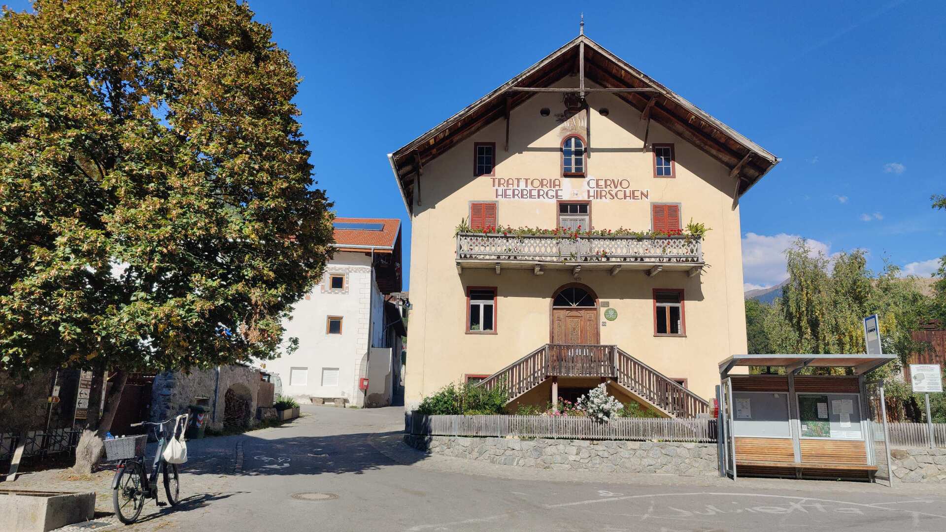
Today, thankfully, South Tyrol is relatively peaceful. However, a clear linguistic boundary remains. There is little room for Italian in South Tyrol, not least because the history is complex.
This results in the fact that many South Tyroleans speak hardly any Italian besides German, and in Trentino, conversely, almost no one understands German.
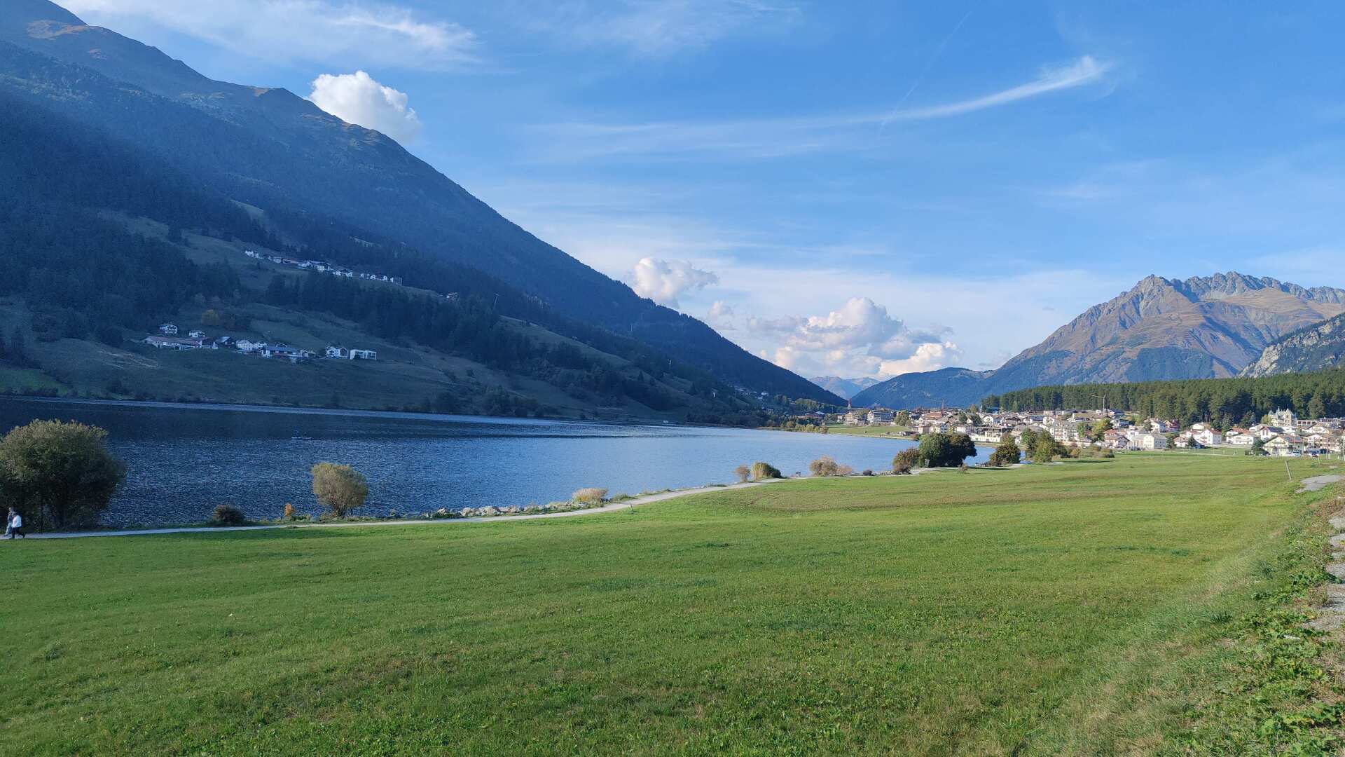
It’s worth noting that in the culinary world, boundaries are fluid. The local cuisine is extremely rich and diverse. In the evening, my accommodation offers a delicious five-course menu for 22 euros.
Day 38: In the rain, on the wrong side
Unfortunately, it rained the next morning, not heavily, but enough that I soon had wet feet.
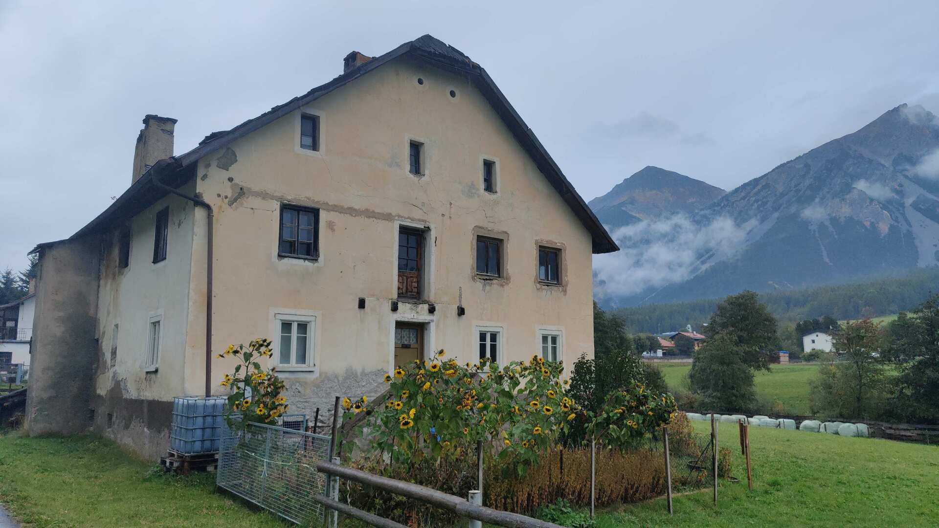
The final ascent to Lake Reschen isn’t very steep. I’ll take the left lakeside path. That wasn’t such a good decision, because I had hoped to see the world-famous church standing in the lake, but I only get a distant view of this famous church.
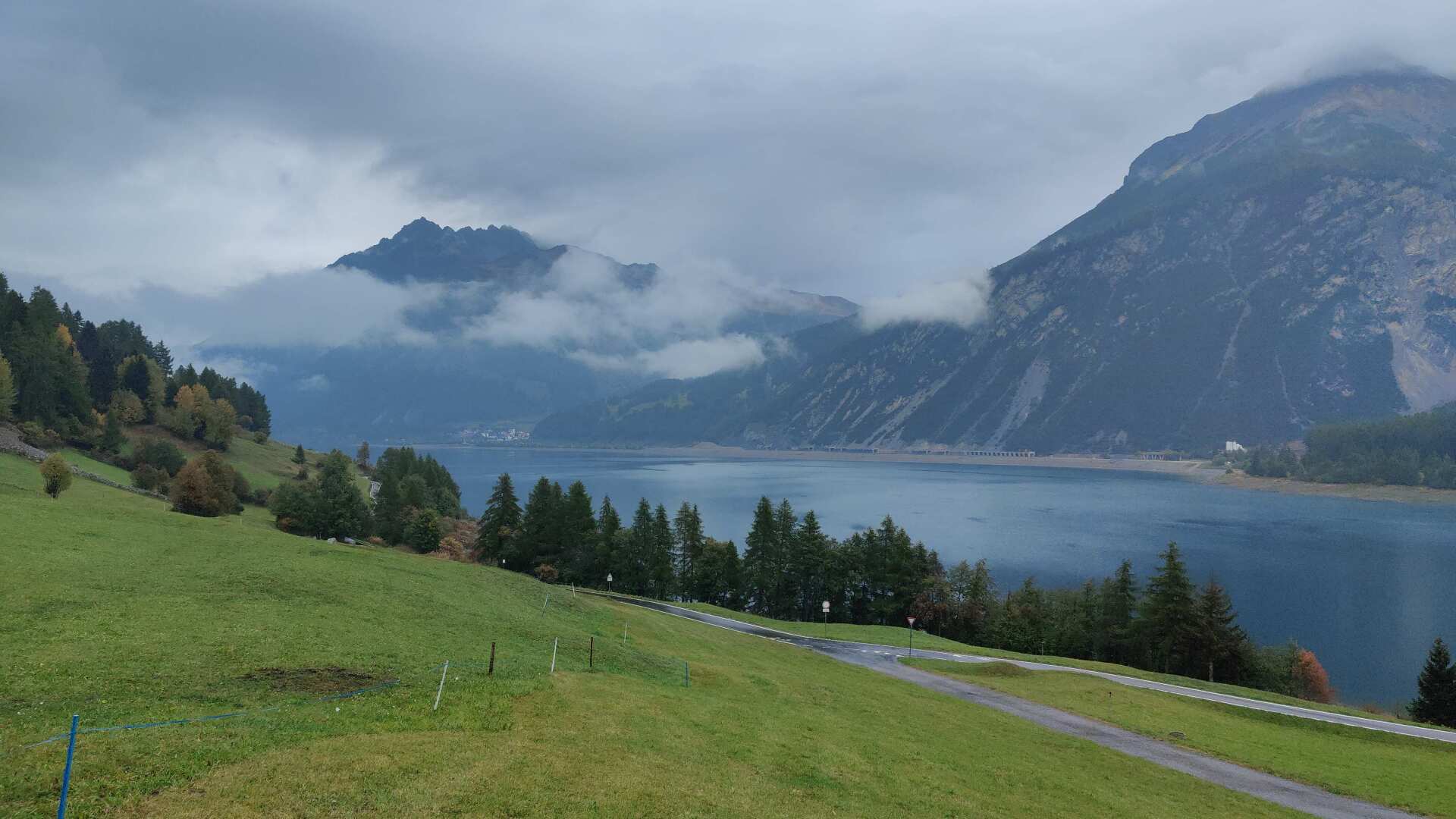
The small church is located in Graun, on the other side of the lake. At this point, I would recommend taking the path on the right, as it leads directly to the most famous landmark in the Vinschgau valley.
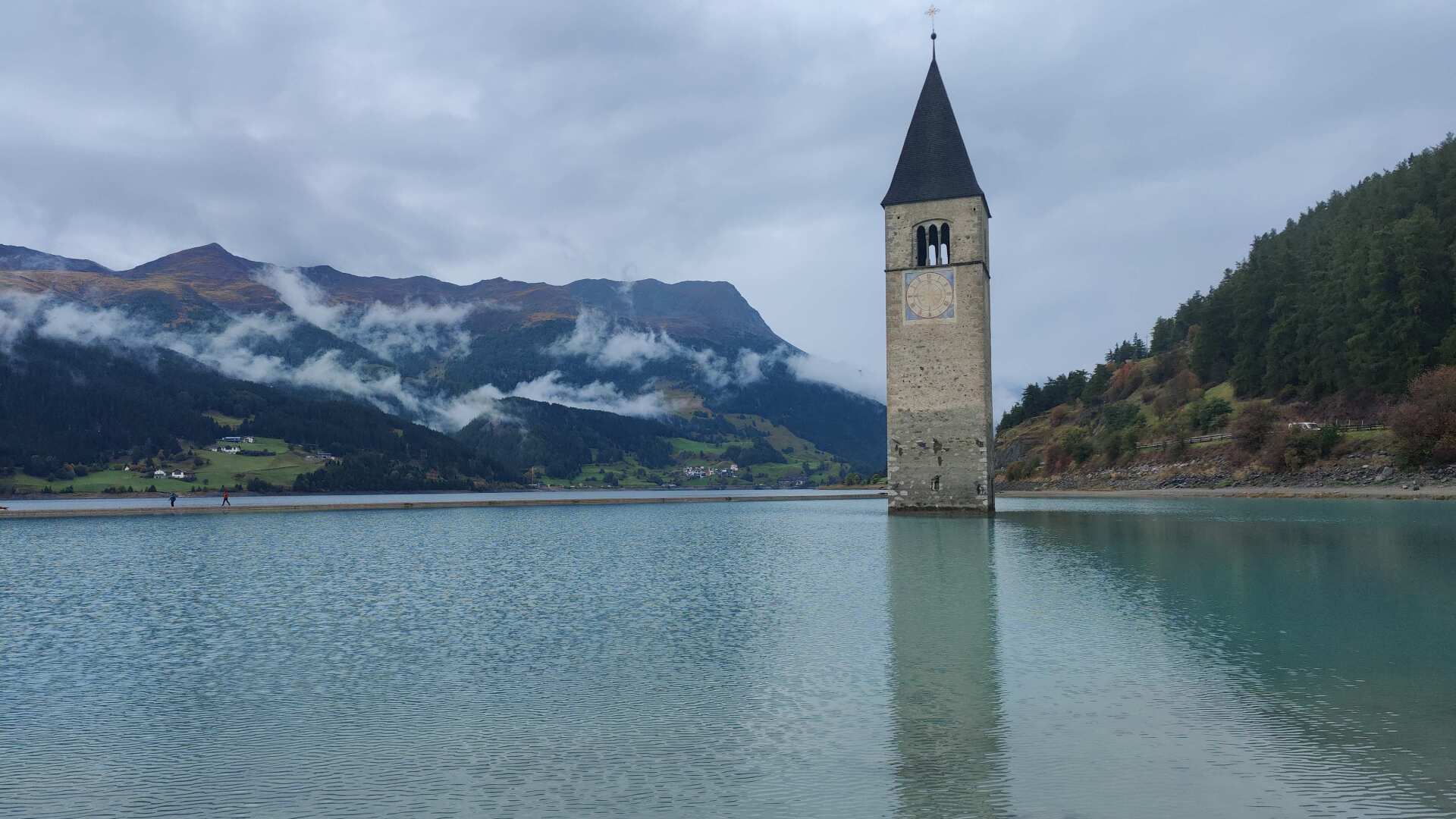
On the other side of the lake, I am full of frustration. How can I keep making such rookie mistakes? And in general, I don’t want to keep running while soaking wet.
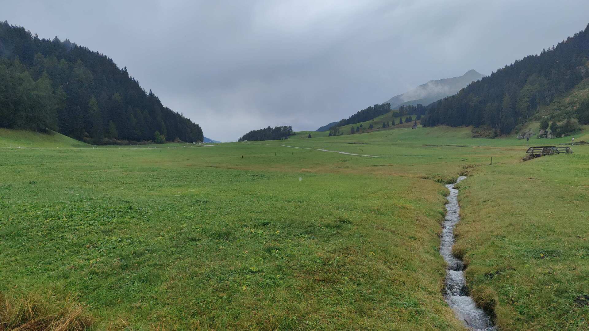
What happened next, I will not disclose here. This (not very glorious) chapter is omitted from the film. My hike continues at the border with Austria.
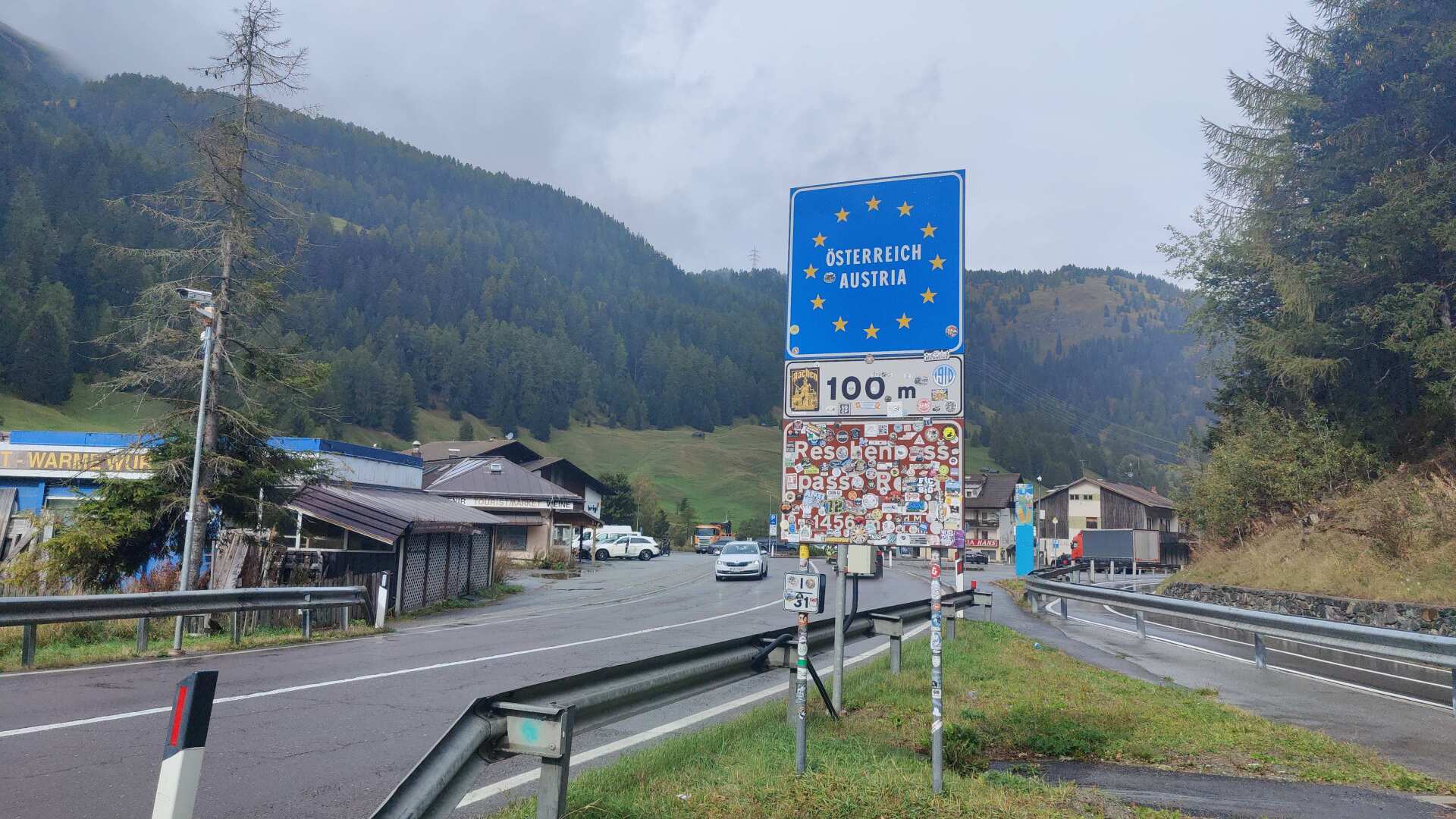
Now I am back in the country where my journey began in the spring. And I’m making another decision. I will not take the planned route to Samnaun and the two high mountain passes. Instead, I will hike via Landeck and St. Anton to the Arlberg Pass.
This may be an additional 10 kilometers on the route, but it also means 2500 meters less elevation gain for the next two stages.
The consequence is that I simply don’t have the desire or energy anymore to climb twice to altitudes of over 2700 meters, without knowing if I’ll even make it across. There is no official path for the first pass (after Samnaun), and at the Seßladjoch there is a slippery path in a steep slope with a 30-degree incline.
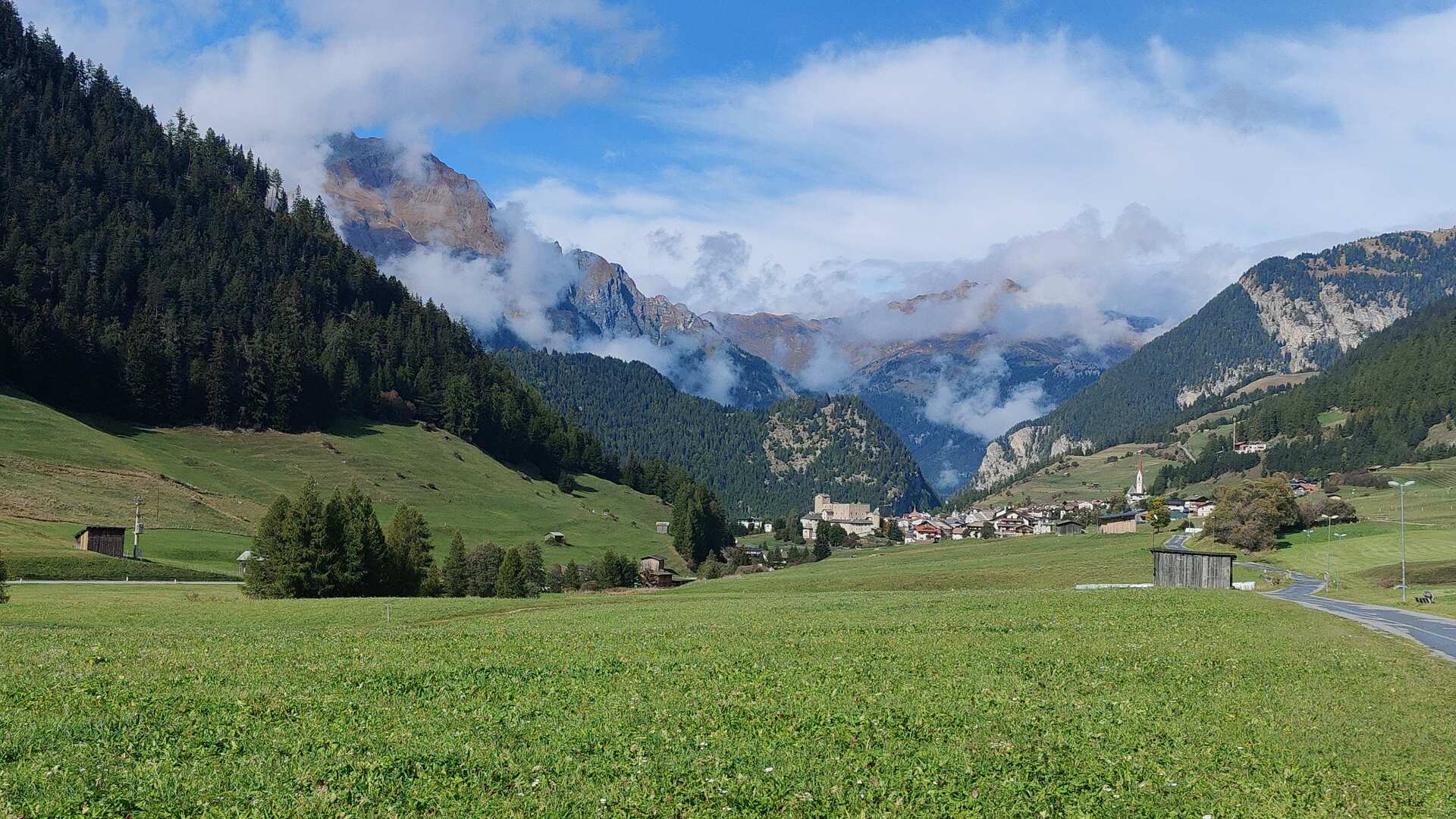
With this decision made and the sun shining brightly again, I hike to Nauders, buy plenty of groceries, and begin the descent towards the Inn river.
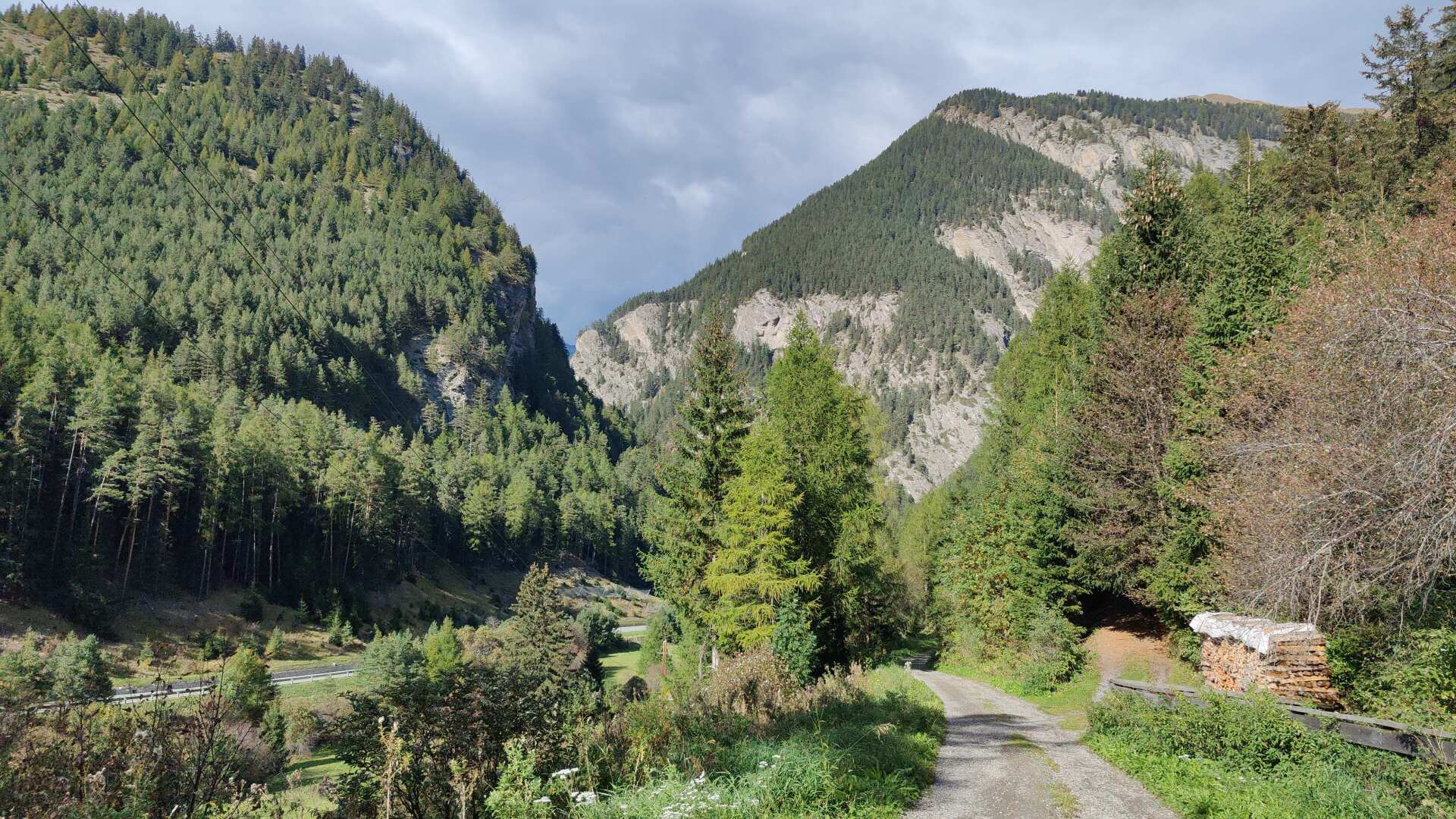
The gorge is impressive, and the fortifications of Nauders are equally so, even though the old tanks displayed behind wire fences are in a somewhat desolate and rusty state.
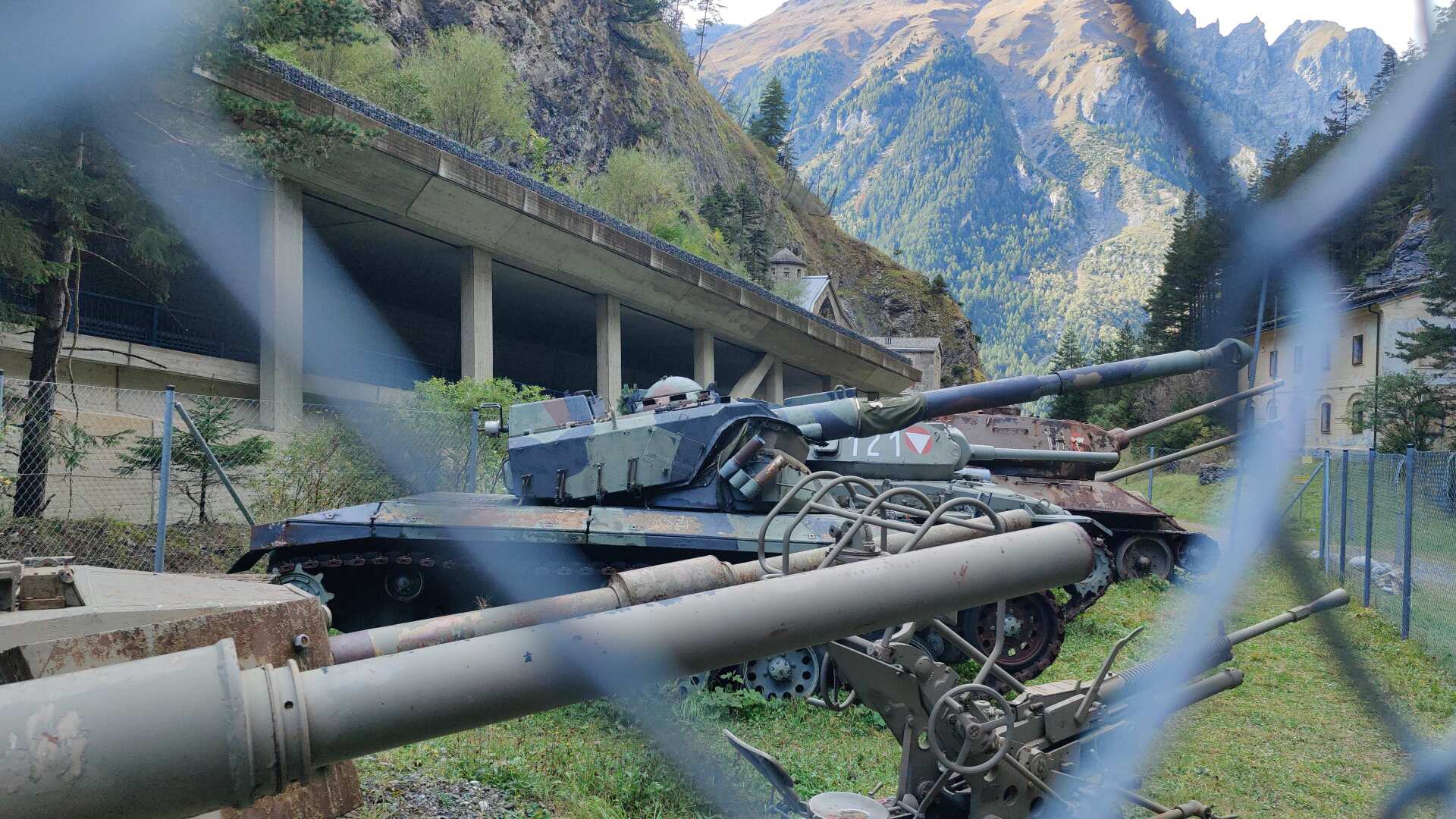
During my hike, there is no one around. Tours are available between May and September, every Wednesday and Sunday at 3:00 PM.
I fail to meet all three criteria. It’s October, it’s Monday, and three o’clock has long since passed.
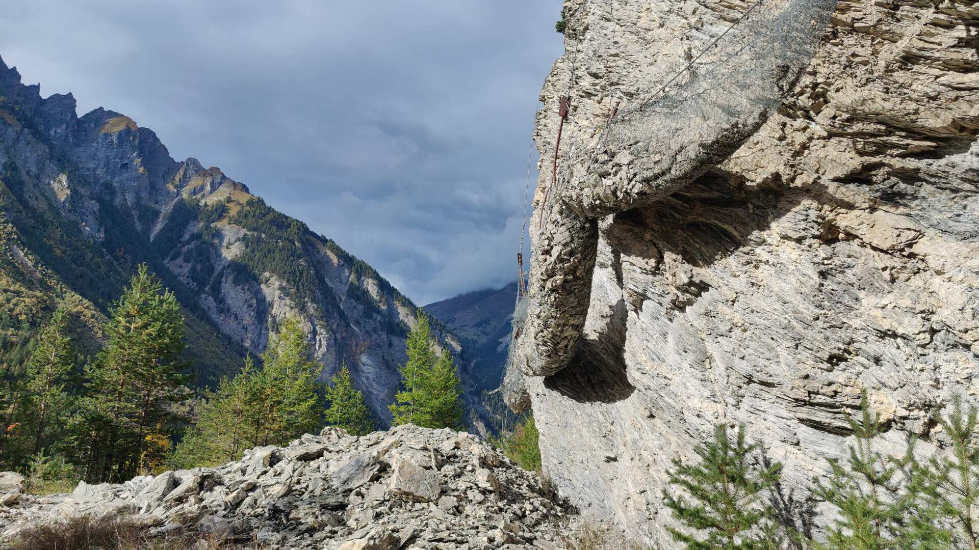
After missing the fortress, the path becomes increasingly difficult. At first, there is still some progress along the side of the stone netting, but later the path ends abruptly, as erosion has long since washed it away.
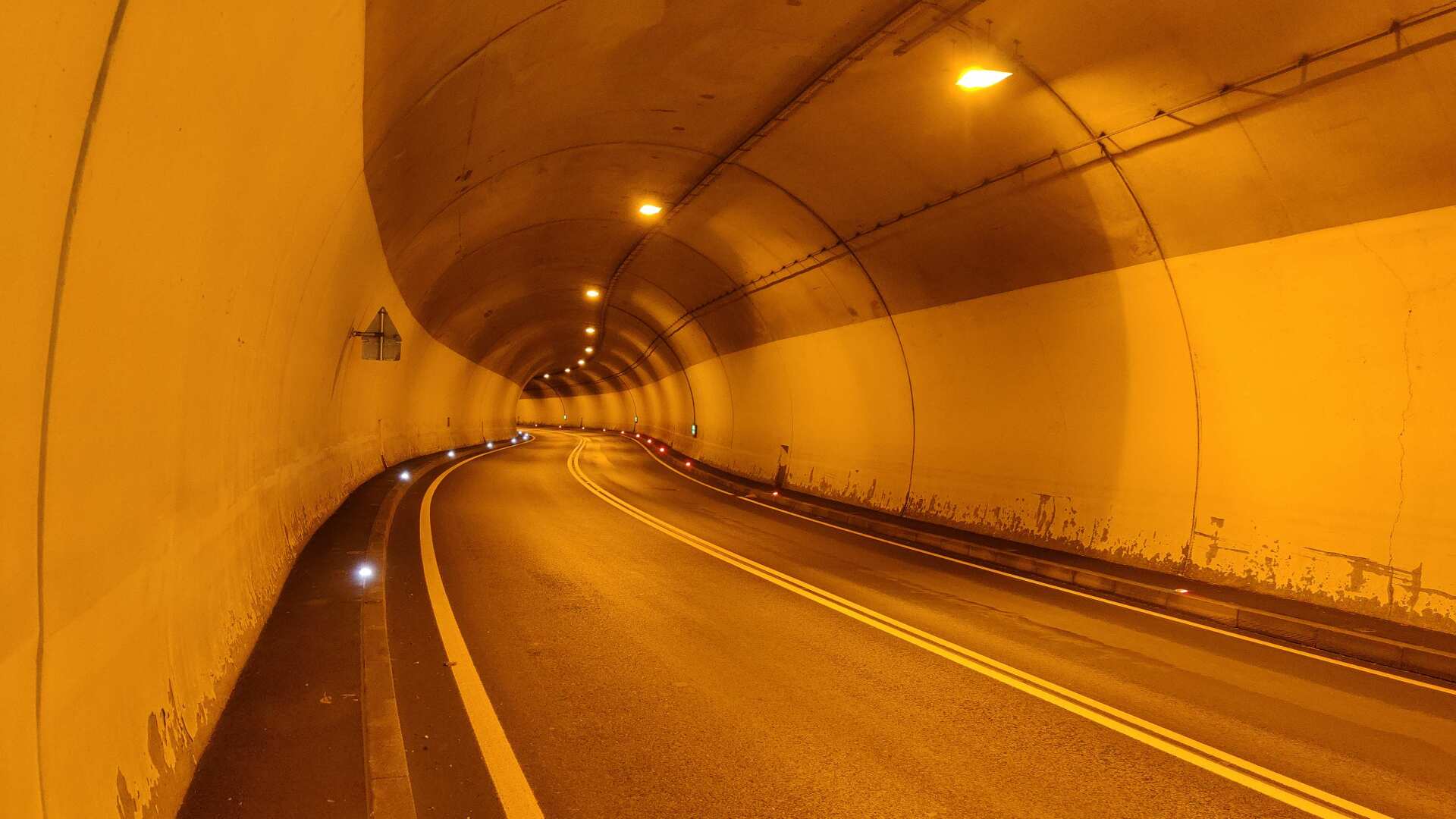
The only way through is via the road tunnel. Whether there’s a way down from there afterward, who knows?
I can’t find any hiking trail markers. In the worst-case scenario, it’s six kilometers of tunnels or galleries. On the map, there’s a forest road somewhere between the tunnels leading down to Finstermünz, the only crossing point over the Inn for miles around.
The detour in this version covers a reasonable distance. The forest road exists, so I decide to take the detour, because Finstermünz is located down there.
In the so-called Engadine War of 1499, the Graubünden lost control over Finstermünz. From then on, the customs duties went either to Austria or Bavaria.
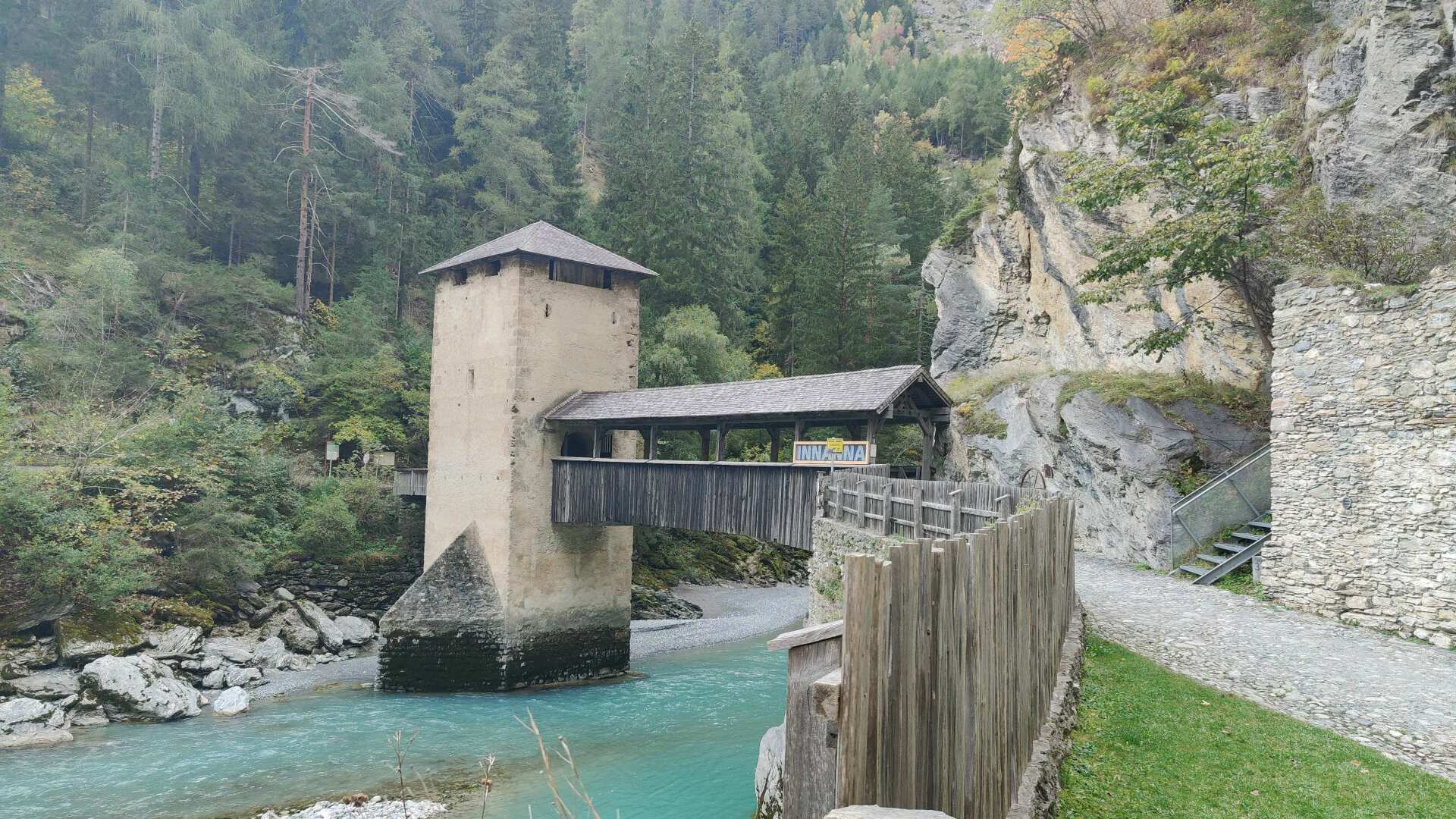
However, its origins go back further. As early as Roman times, the route was used as the Via Claudia Augusta, crossing the Alps via the Reschen Pass and the Inn River. The present-day structures date back to the Middle Ages.
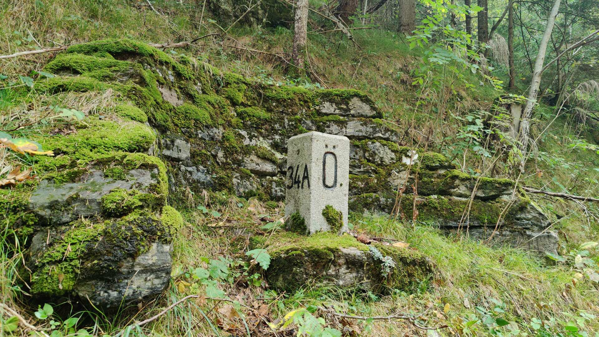
What remains is a bizarre border line. The border between Austria and Switzerland does not run down the middle of the Inn river, but directly to the left of the path. A little further up, on Swiss territory, is the cantonal road to Samnaun.
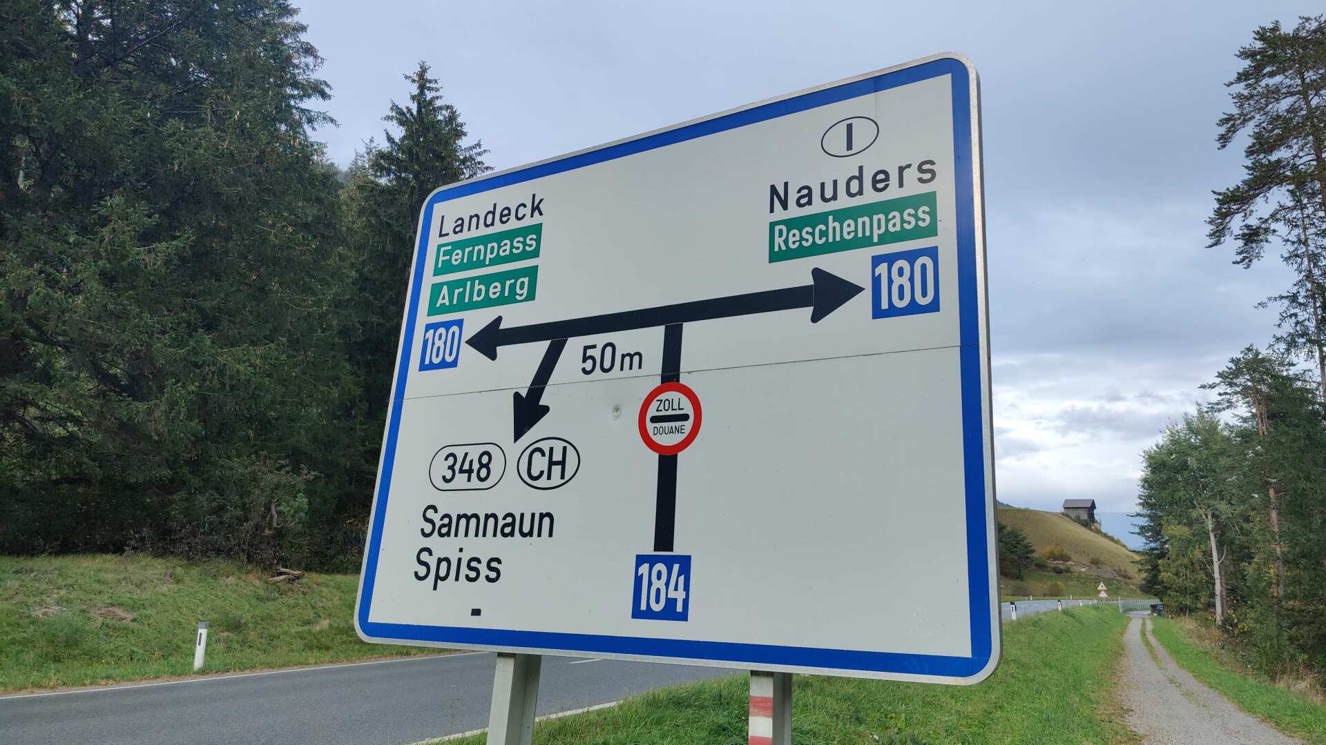
It’s quite strange, but I later come across a huge sign. Apparently, I’m supposed to go through customs there, even though I never left Austria. The sign seems to be several decades old, and I don’t see any sign of a customs facility later on.
If I had taken on those two passes, I would now be turning left and heading uphill. My (new) route follows the Inn river towards Landeck.
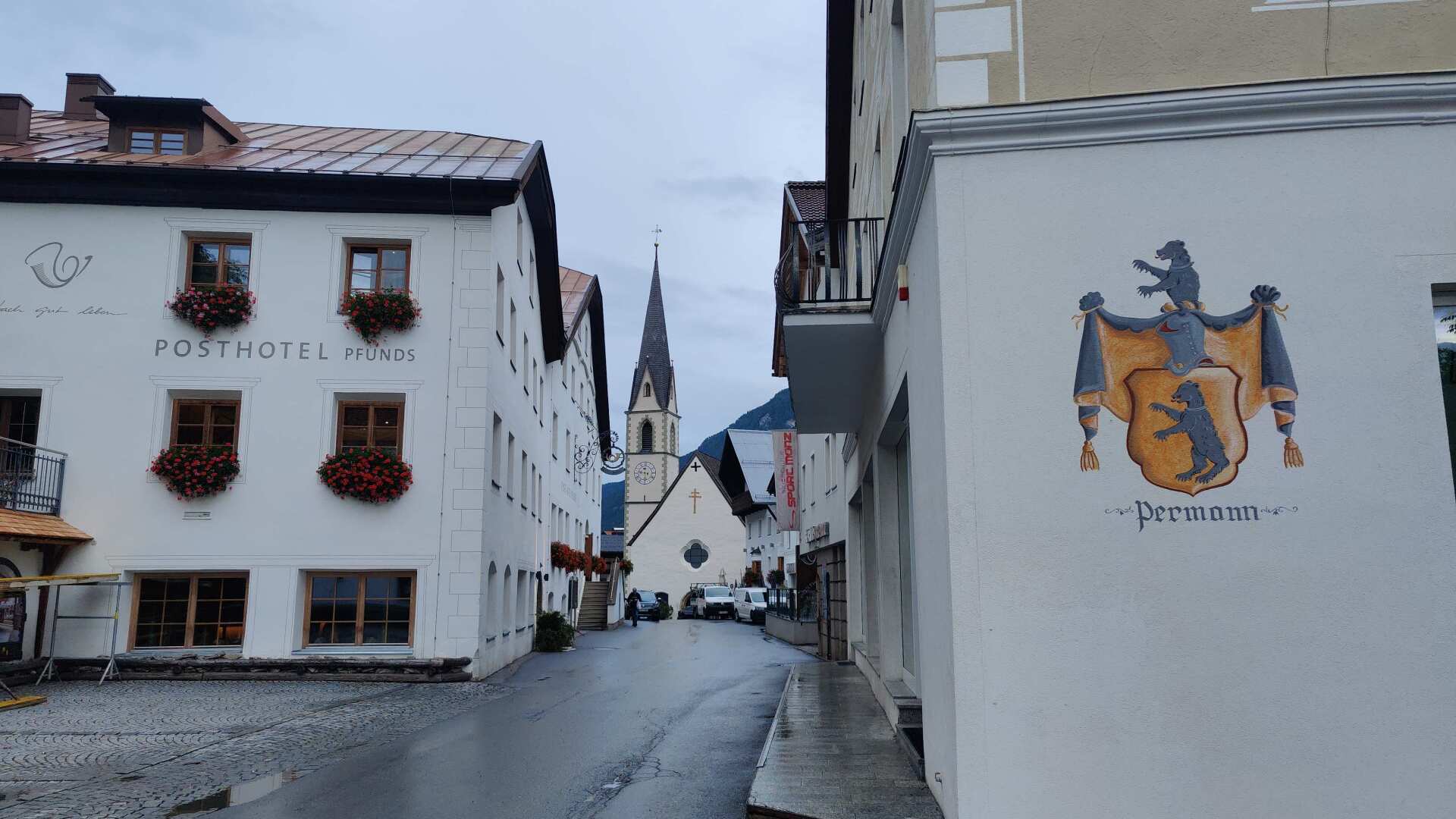
By taking a clever shortcut, I arrive directly in Pfunds. The style of the spacious houses in the village strongly resembles that of the Engadine Valley, but no, we are and will remain in Austria.
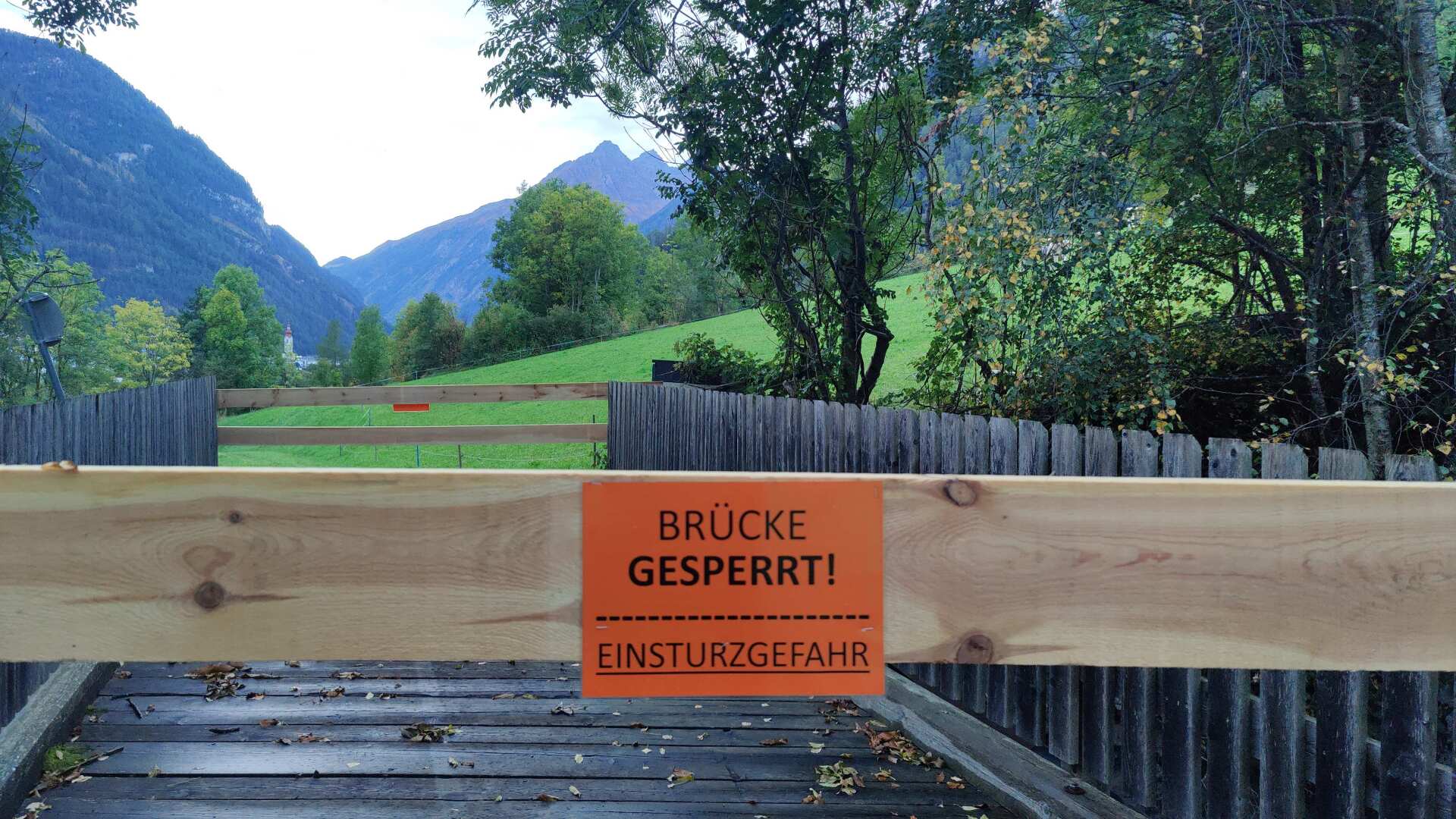
My destination for the day is Birkach, a small village off the main road. A boarded-up bridge won’t stop me from crossing it at this late hour.
In Birkach, I ask two men about the accommodation. They must be mistaken, because there are no guest rooms in Birkach. When I mention the address, they then say that it might actually exist. Furthermore, it should be noted that holiday apartments in Tyrol are called “apartments.” It sounds “fancy,” but it also costs accordingly. In Tyrol, even during the off-season, you can’t find anything for less than 100 euros per night per person.